Turismo de Galicia

-
Things to do
Way of St. James
Nature
Culture and heritage
Beaches and coast
Tourist trails
- Top ten: Ten unrivalled destinations
- The route of the camellia
- Tourist routes
- Pathways for discovering a country
- Walks to fall in love with
- Scenery at the wheel
- EuroVelo Galicia
- Beyond the Sunset
Gastronomy
Health tourism
PROMOTIONS TO ENJOY NOW
Cultural agenda
Will happen... View all
- Places to visit
-
Plan your trip
Build your journey
Practical information


-
A miña viaxe
A MIÑA VIAXE
- Compartir
- Correo
- Imprimir

On the Way of St. James
Description
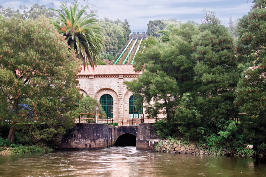
The 125 km long river crosses the
central regions of Galicia, in its
intermediate basin, and before it
passes through the municipality of
Santiago de Compostela, it breaks
into a network of small rivers.
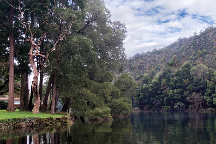
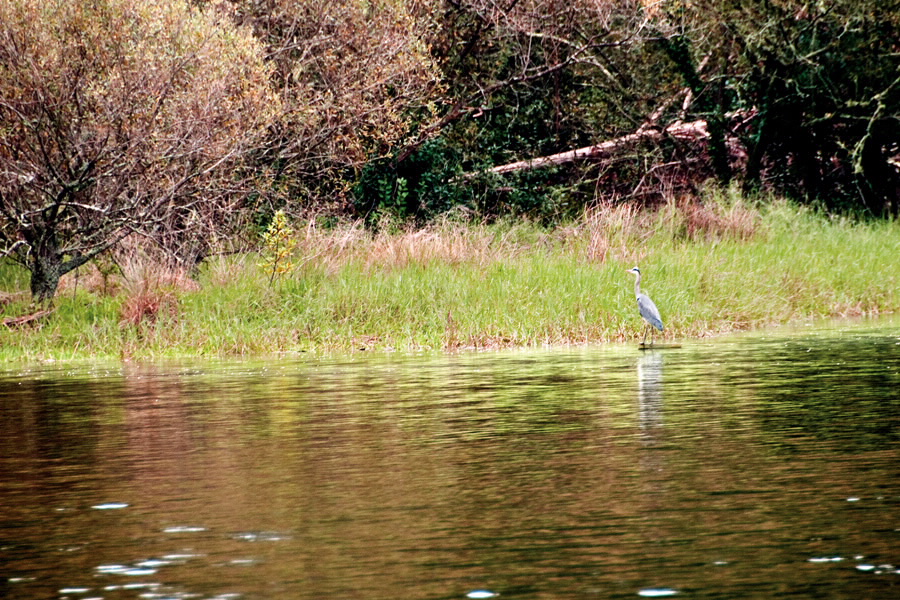
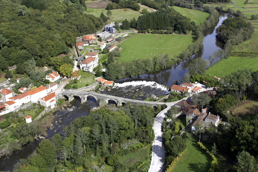
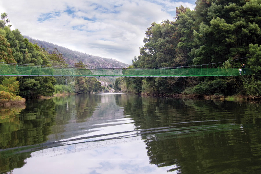
The forests give life to some beautiful riverside landscapes. One way to approach them is from the riverside recreation areas. For example, in the municipality of Oroso, starting from Sigüeiro, the island of the Refugio (hut); Penateixa; Arderiz bridge in its confluence with the Samo river; and Cachopal, with the river Maruzo. The charming centre of Ponte Maceira, on the Fisterra-Muxía road is one of the best points from which to enjoy the river.
The forests give life to some beautiful riverside landscapes. One way to approach them is from the riverside recreation areas. For example, in the municipality of Oroso, starting from Sigüeiro, the island of the Refugio (hut); Penateixa; Arderiz bridge in its confluence with the Samo river; and Cachopal, with the river Maruzo. The charming centre of Ponte Maceira, on the Fisterra-Muxía road is one of the best points from which to enjoy the river.
Access
The N-550 road on the stretch
between Ordes and Santiago de
Compostela, where there are
numerous turnoffs to the basin of
the Tambre.
The Ways of St. James
Portiguese Route
Portiguese Route by coast
The English Camino
The Fistera-Muxía Camino
The French Camino
The Northern Camino
The Primitive Camino
The Route of the Sea of Arousa and River Ulla
The Winter Camino
Vía de la Plata
Situation
In the centre of the province of
A Coruña. Municipalities of
Tordoia, Ordes, Mesía, Trazo,
Oroso, Frades, Santiago de
Compostela and O Pino.
Area
151.70 hectares
Services
Accommodaon and food at the
main villages.
Download the coordinates for this resource...

