Turismo de Galicia

-
Things to do
Way of St. James
Nature
Culture and heritage
Beaches and coast
Tourist trails
- Top ten: Ten unrivalled destinations
- The route of the camellia
- Tourist routes
- Pathways for discovering a country
- Walks to fall in love with
- Scenery at the wheel
- EuroVelo Galicia
- Beyond the Sunset
Gastronomy
Health tourism
PROMOTIONS TO ENJOY NOW
Cultural agenda
Will happen... View all
- Places to visit
-
Plan your trip
Build your journey
Practical information


-
A miña viaxe
A MIÑA VIAXE
- Compartir
- Correo
- Imprimir

Description
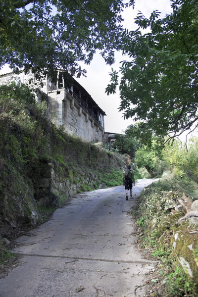
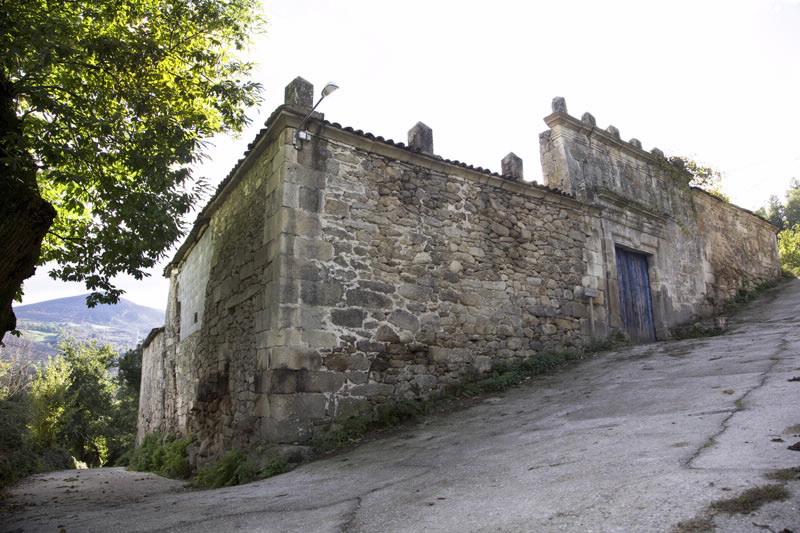
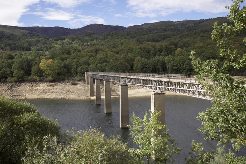
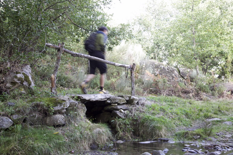
An old cart trail starts in Vilariño de Conso towards Conso, becoming a forest track that goes up to San Cristovo, where the Manor House of Conso is located. From here, we begin the descent back down to Conso to visit the church. After leaving the village and heading towards O Palacio, we can take a diversion to visit the Encoro do Vao reservoir by crossing a bridge in A Auga Lavada. Back on the main route, we continue down the path back to Vilariño de Conso.
This route is often snowed over in winter.
Access
The Ways of St. James
A plus
O INVERNADEIRO NATURAL PARK
O Invernadeiro Natural Park comprises various
mountains in the southern massif of Ourense,
in a typical landscape of rounded peaks covered
in local plant species. Roe deer, ibex, wolves, wild
boars and two pairs of golden eagles share this
setting in a geographical location straddling the
Mediterranean and Euro-Siberian worlds.
There is also a wildlife observatory and several
marked routes in the park.
From July to September there are guided visits
with biologists from the Nature Preservation
Service – a good opportunity to discover one of
the best preserved natural areas in Galicia and
live a unique experience, isolated in nature.
Longitude
Point of Departure / Arrival
Route
Difficulty
Duration
Equipment
Services
M.I.D.E.
Bicycle access
Horse access
cartography I.G.N. (1:25:000)
Further information
Tel.: 988 340 302
www.vilarinodeconso.es
Federación Galega de Montañismo
Tel.: 986 208 758 / Fax: 986 207 407
sendeirismofgm@yahoo.es
www.fgmontanismo.com
Segatur (Sendeiros de Galicia para o Turismo Rural S.L.)
Tel. 654 165 730 / 886 117 011
info@segatur.com
www.segatur.com
Kind of route
Interest
Map


