Turismo de Galicia

-
Things to do
Way of St. James
Nature
Culture and heritage
Beaches and coast
Tourist trails
- Top ten: Ten unrivalled destinations
- The route of the camellia
- Tourist routes
- Pathways for discovering a country
- Walks to fall in love with
- Scenery at the wheel
- EuroVelo Galicia
- Beyond the Sunset
Gastronomy
Health tourism
PROMOTIONS TO ENJOY NOW
Cultural agenda
Will happen... View all
- Places to visit
-
Plan your trip
Build your journey
Practical information


-
A miña viaxe
A MIÑA VIAXE
- Compartir
- Correo
- Imprimir

On the Way of St. James
Description
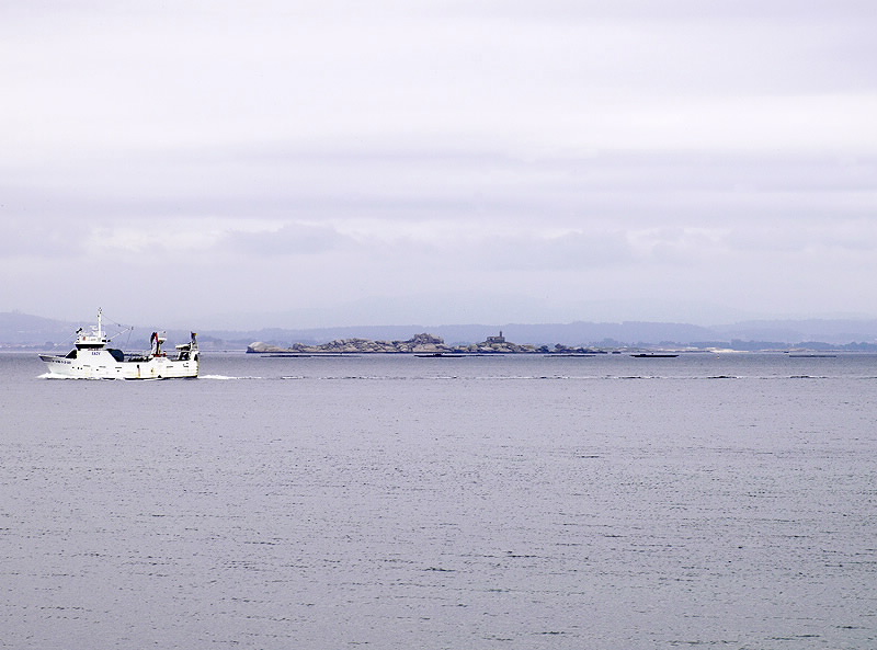
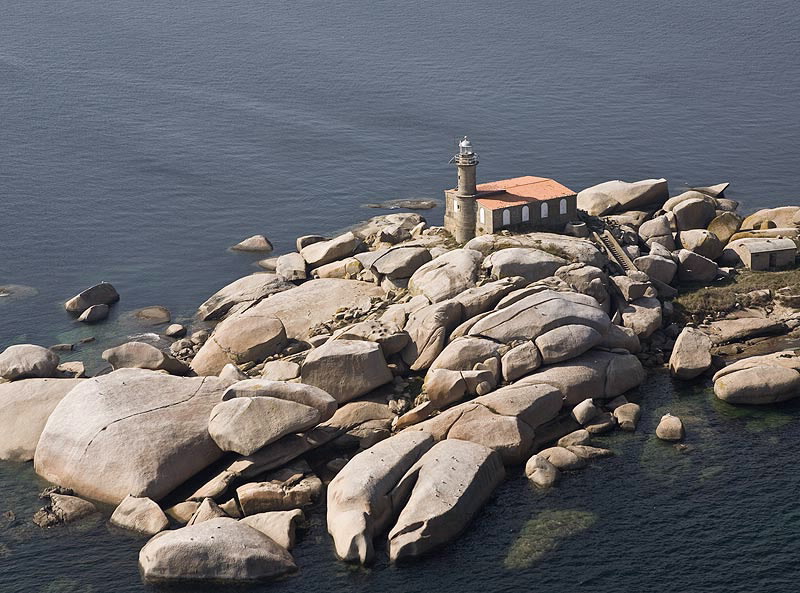
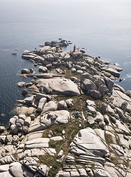
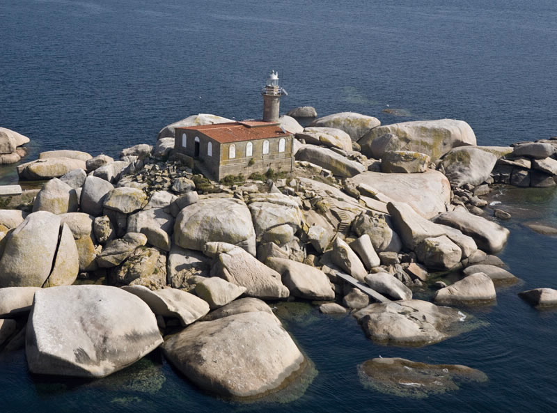
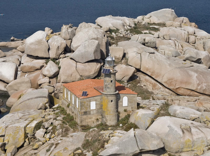
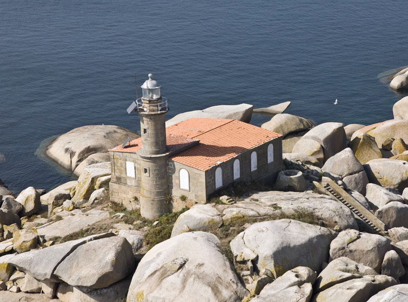
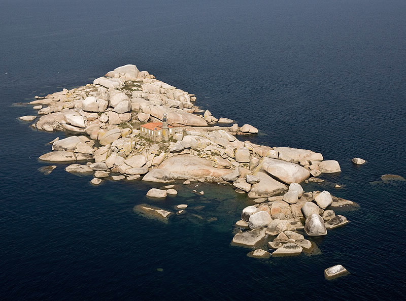
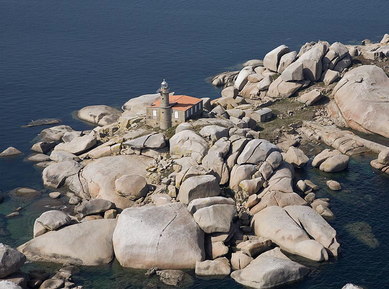
Situated in the middle of the Ría de Arousa on a rocky islet. It dates back to the year 1869, although it is noteworthy today for the spectacular views from the lighthouse of A Curota, Cabío beach and the town of A Pobra do Caramiñal. The lighthouse tower is built of the southern side of the building, at the base of which is are twelve steps which go down to the sea below.
The Ways of St. James
The Route of the Sea of Arousa and River Ulla

