Turismo de Galicia

-
Things to do
Way of St. James
Nature
Culture and heritage
Beaches and coast
Tourist trails
- Top ten: Ten unrivalled destinations
- The route of the camellia
- Tourist routes
- Pathways for discovering a country
- Walks to fall in love with
- Scenery at the wheel
- EuroVelo Galicia
- Beyond the Sunset
Gastronomy
Health tourism
PROMOTIONS TO ENJOY NOW
Cultural agenda
Will happen... View all
- Places to visit
-
Plan your trip
Build your journey
Practical information


-
A miña viaxe
A MIÑA VIAXE
- Compartir
- Correo
- Imprimir

On the Way of St. James
Description
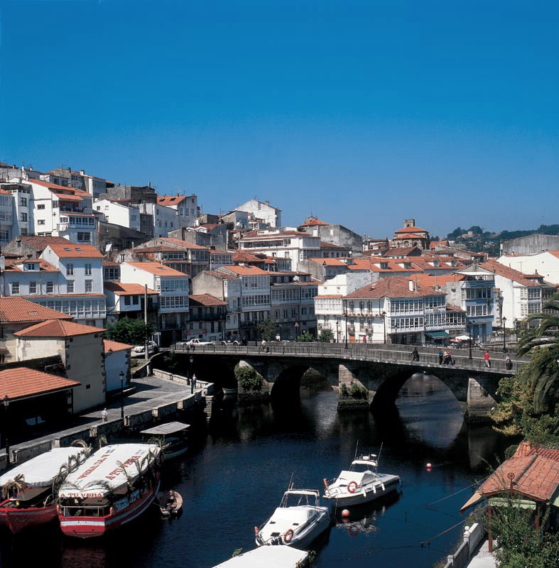
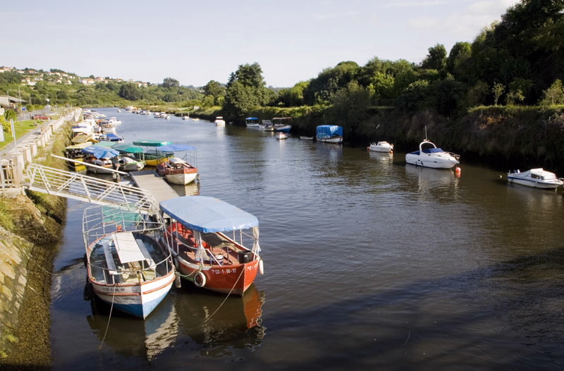
Until the 18th century the port
of Betanzos was one of the most important fishing and trade centre of the Ancient Kingdom of Galicia. The
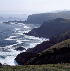
river sediment that filled the estuary and reduced its depth was one cause, among others, for the decrease
in sea traffic. The Ría de Betanzos currently has one of the largest areas of coastal mudflats of Galicia, and
still has a small port and embarkations at the confluence of the Mendo and Mandeo rivers which hug the
town. The riverbanks form the other part of this protected space which, in the case of the Mandeo, covers
25 kilometres upriver.
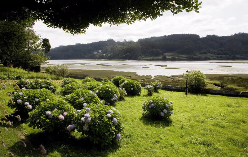
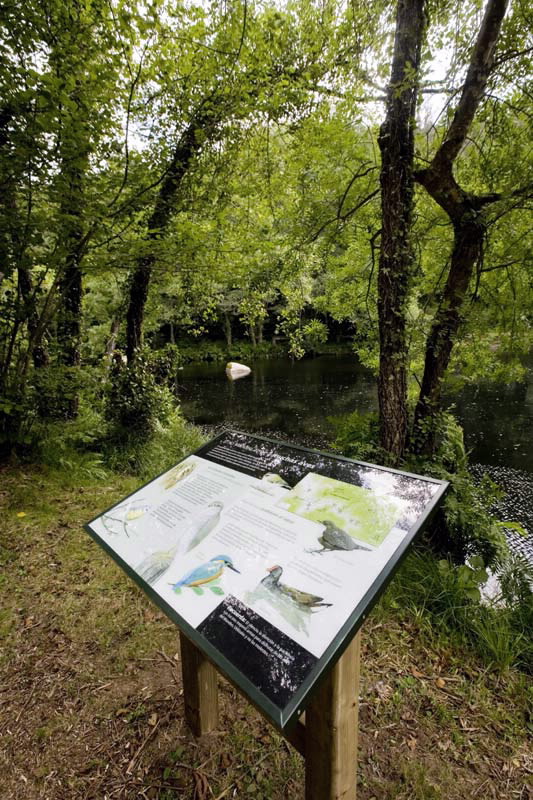
The best observatory of this wetland is on the access road which runs along the left margin of the estuary. Here, we will find the pazo of Mariñán (Bergondo) where, during visiting hours, we can visit the gardens where there are five tree taxa, catalogued as Singular Trees. There are inland routes to Chelo (Betanzos), where, apart from the nature workshop, the routes into the forests lining the river Mandeo begin. The course of the river speeds up at times among the granite outcrops o this stretch, providing beautiful vignettes against the rhythm of the waters.
The best observatory of this wetland is on the access road which runs along the left margin of the estuary. Here, we will find the pazo of Mariñán (Bergondo) where, during visiting hours, we can visit the gardens where there are five tree taxa, catalogued as Singular Trees. There are inland routes to Chelo (Betanzos), where, apart from the nature workshop, the routes into the forests lining the river Mandeo begin. The course of the river speeds up at times among the granite outcrops o this stretch, providing beautiful vignettes against the rhythm of the waters.
Access
The A-6 highway, the AP-9
motorway and the N-VI road
communicate with Betanzos and
run close by the Natural Park. To
reach the Chelo reserve, turn off
on the N-VI in Queirís-Collantres
(Coirós).
The Ways of St. James
The English Camino
Situation
At the bottom of the Ría de Betanzos (A Coruña), municipalies of Aranga, Bergondo, Betanzos, Coirós, Irixoa, Miño, Oza-Cesuras and Paderne.
Area
864.58 hectares.
Services
Accommodation: Yes.
Food: Yes.
Food: Yes.
Information and facilities
Aula de la Naturaleza de Chelo
Telephone: +34 981 541 789
Other sites you may be interested in...
-
COSTA DE DEXO
ZEC - natura 2000
-
ENCORO DE ABEGONDO-CECEBRE
ZEC - natura 2000
Download the coordinates for this resource...

