Turismo de Galicia

-
Things to do
Way of St. James
Nature
Culture and heritage
Beaches and coast
Tourist trails
- Top ten: Ten unrivalled destinations
- The route of the camellia
- Tourist routes
- Pathways for discovering a country
- Walks to fall in love with
- Scenery at the wheel
- EuroVelo Galicia
- Beyond the Sunset
Gastronomy
Health tourism
PROMOTIONS TO ENJOY NOW
Cultural agenda
Will happen... View all
- Places to visit
-
Plan your trip
Build your journey
Practical information


-
A miña viaxe
A MIÑA VIAXE
- Compartir
- Correo
- Imprimir

Description
The route starts
about 400 metres from the town of O Chao de Pousadoiro, next to the LU-751
road. It runs parallel to the Eo river, between fields and forest.
After a
kilometre, the trail ascends and crosses the road. It then passes near the
village of San Xurxo de Piquín, where you will find a beautiful church.
Following a wide forest path, you will reach the turning leading to the
Fervenza de Pena dos Portelos waterfall. Along the access route, you will pass
through Fraga da Pena dos Portelos, a native forest with oak and chestnut trees
that are centuries old.
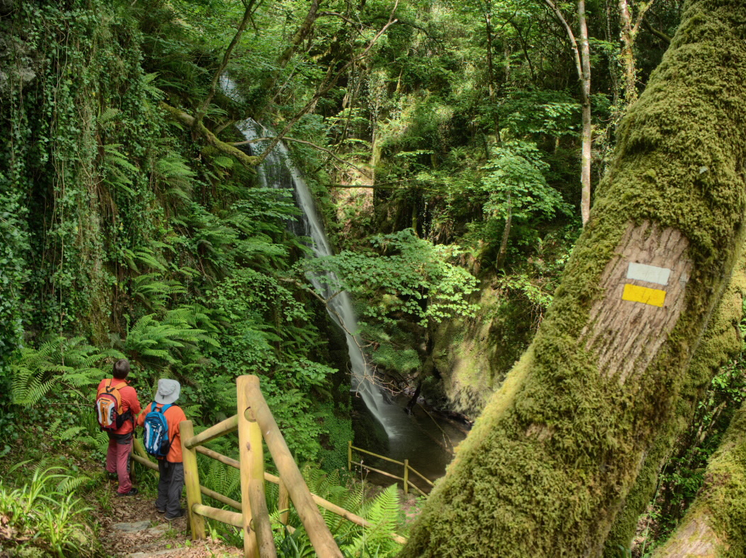
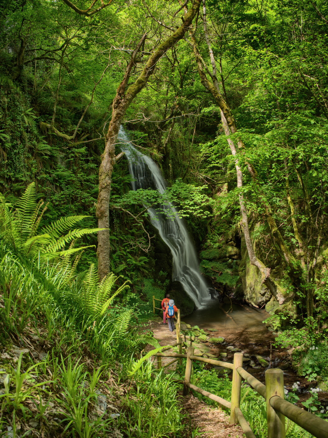
The final access
to the Survial do Couso stream is equipped with stairs and handrails. Here, the
water falls more than fifteen metres down a dark and humid slate ravine, which
is covered in ferns and deciduous trees.
To return to the main route, simply go back the way you came. The trail then continues its climb between coniferous and eucalyptus plantations until it reaches the LU-751 road at the height of Chao dos Campos, a place very close to the Miradoiro do Xurxo.
Access
You can reach the route from Lugo via the N-640 to Meira. Next, continue on the LU-751 in the direction of O Chao de Pousadoiro.
Longitude
5.1 km. The main route is 3.8 km and the deviation is 1.3 km (to the waterfall and back).
Point of Departure / Arrival
Route
Difficulty
Duration
Connections
There is no direct connection but the route is very close to the PR-G 209 and the PR-G 229.
Equipment
Services
M.I.D.E.
Bicycle access
Horse access
cartography I.G.N. (1:25:000)
Further information
Tel.: 982 333 601
info@ribeiradepiquin.es
www.ribeiradepiquin.es
Kind of route
Interest
Map

