Here is the highest point of Galicia.

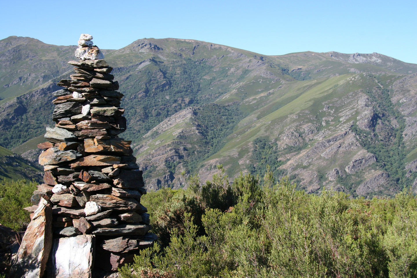
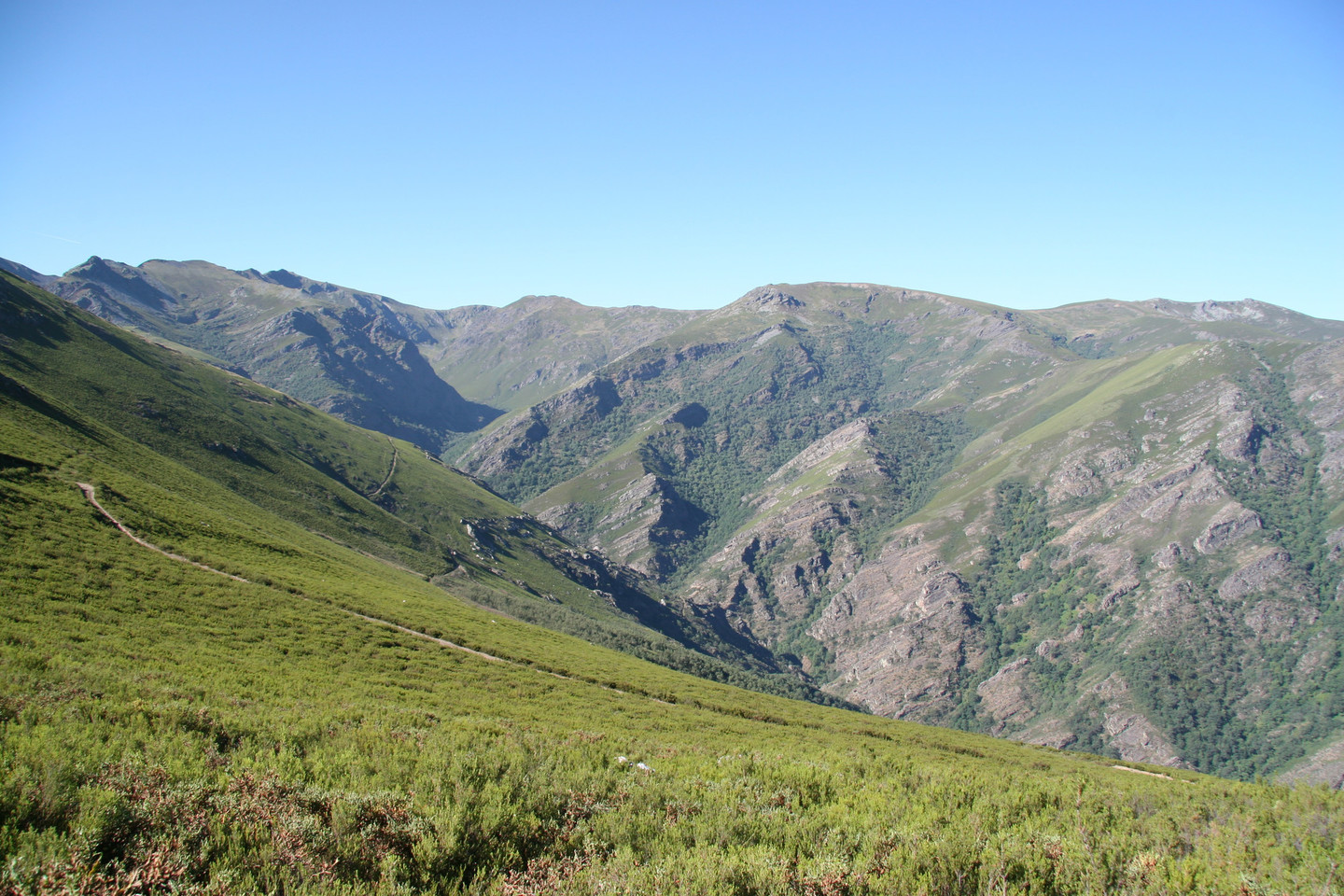
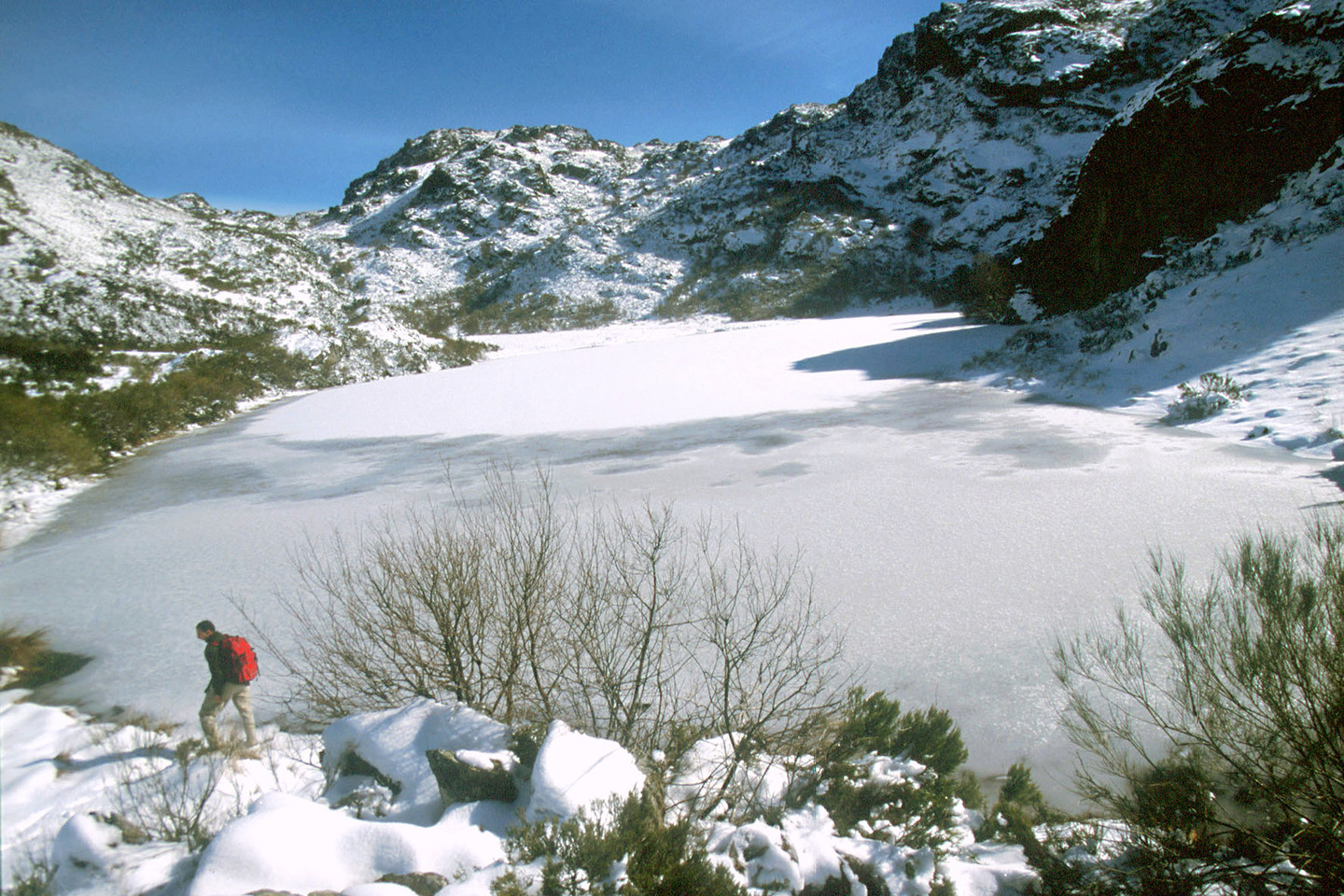
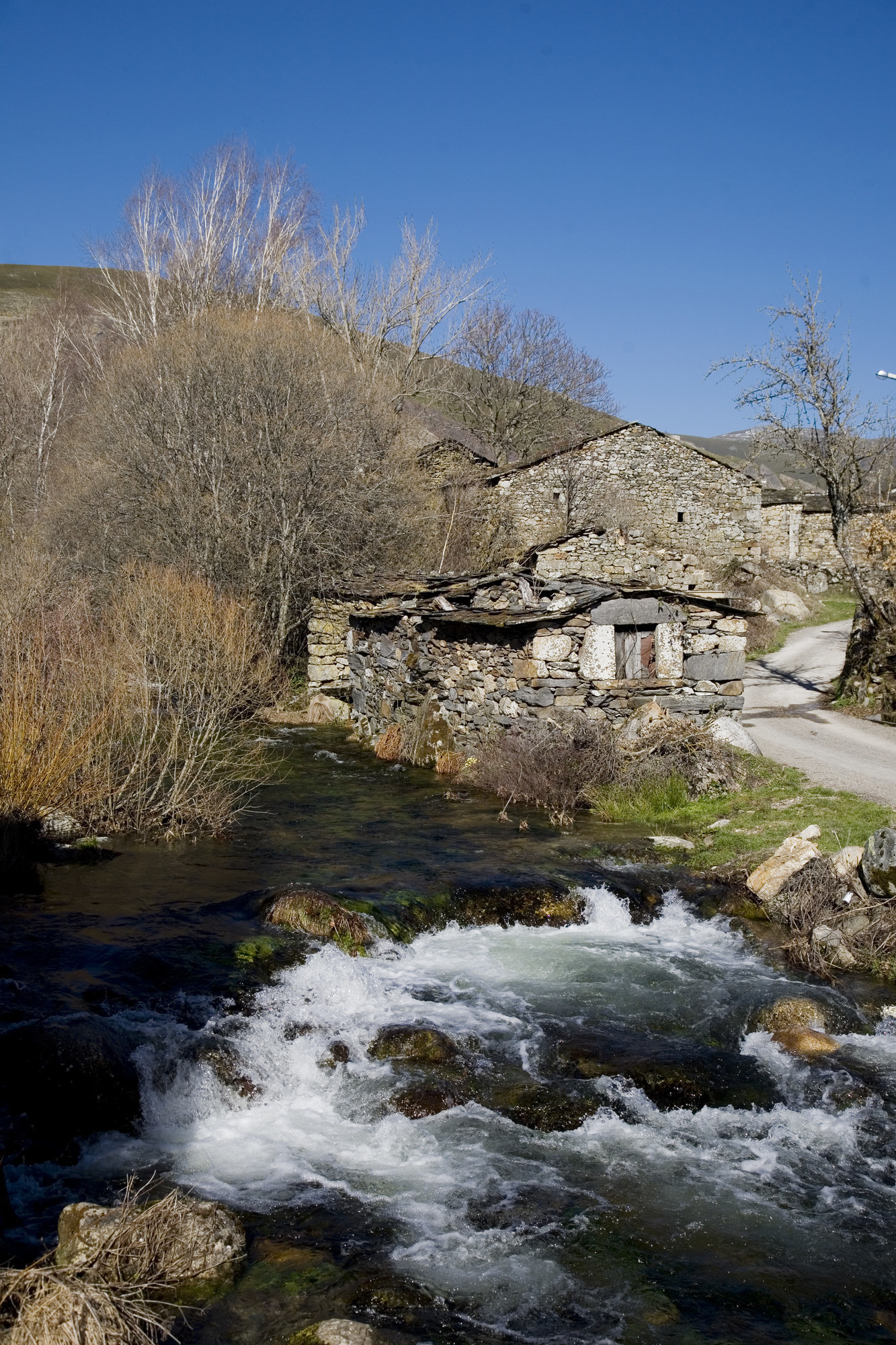
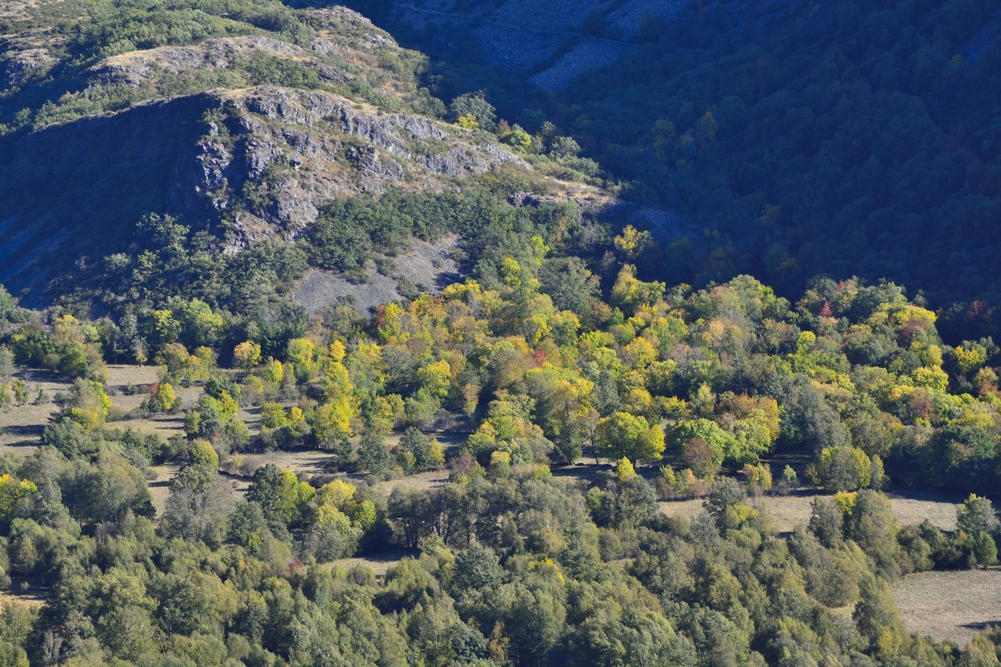
Located to the east of the province of Ourense, the mountains of Pena Trevinca are a protected nature reserve that covers almost 25,000 hectares. Its summits – more than 2,000 metres high and covered by snow in the winter – are crowned by glacial lakes such as O Celo or the Lagoa da Serpe, with the purest and most crystalline of water. These are mountains that barely show the imprint of man.

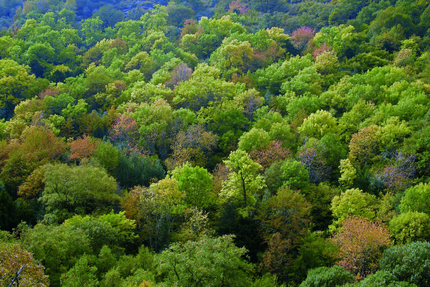
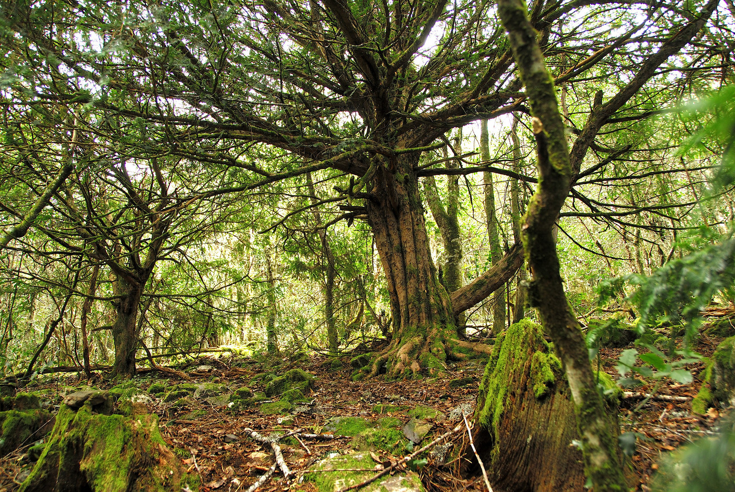
In the town of Carballeda de Valdeorras, by the River San Xil, is the Teixadal de Casaio. A fabulous yew forest – the largest in Europe – with more than 300 yew stretching out their centuries- (perhaps millenia-) old branches and roots extending, between young holly, ash and hazelnut trees.

High mountain

Sub-alpine landscapes, above two thousand metres, can only be seen in Galicia in the confluence of the O Eixe, Calva and Segundeira mountain ranges.

The upper limit of the region is reached at the peak of the Pena Trevinca (2,127 m), Pena Negra (2,123 m) and Pena Survia (2,122 m) which crown this extensive protected space linked to the Natural Park of the Sanabria lake (Zamora). Here, an outstanding formation of natural lakes and other elements of glacial origin can be seen. On the west Galicia slope, whose waters drain into the Sil basin, the Xares and the Bibei present beautiful pictures of high mountain rivers during a thaw.

Because of the remoteness of the region it has remained relatively isolated, although its ecological balance is also fragile. One of its increasingly well-known acts has been the conservation of the "Teixadal de Casaio" (yew forest of Casaio). This is a small group of three hundred centuries-old yew trees which form a forest which is unique in Europe. Another one is the existence of a pair of golden eagles, an important element in the region's bird life.

Not to be Missed

The main access point starts from A Veiga, close to the Prada dam, from where the mountain range can be reached from the small villages on the borders of the protected space. For example, Xares, with a game reserve; the A Ponte mills and the houses of Corzos set between great oval rocks.

To the south, the road to the village of Pradorramisquedo via the winding road from Viana do Bolo takes us close to the banks of the River Bibei sculpted into the stone. From here there is an easy route to Porto, on the Zamora side. The Teixadal of Casaio, on the other hand, is located in the extreme north of the area, in the municipality of Carballeda de Valdeorras. There is a long route on foot from the Fonte da Cova station (1,800 m).


Useful information

Location
Ourense municipalities of Carballeda de Valdeorras, A Veiga, Viana do Bolo, Manzaneda and O Bolo, on their limits with the autonomous region of Castile and León.

Area
24,860.33 hectares.

Acess
Turnoff towards A Veiga on the OU-533 A Rúa-A Gudiña local road. From A Veiga to Xares by local roads. From O Barco de Valdeorras, by the OU-121 to the Prada (A Veiga) dam; or by Sobradelo (Carballedo de Valdeorras) with a turnoff on the OU-122 road in the direction of Casaio.

Services

  • Accommodation: Yes.
  • Food: Yes.
Arriba
Help us improve!