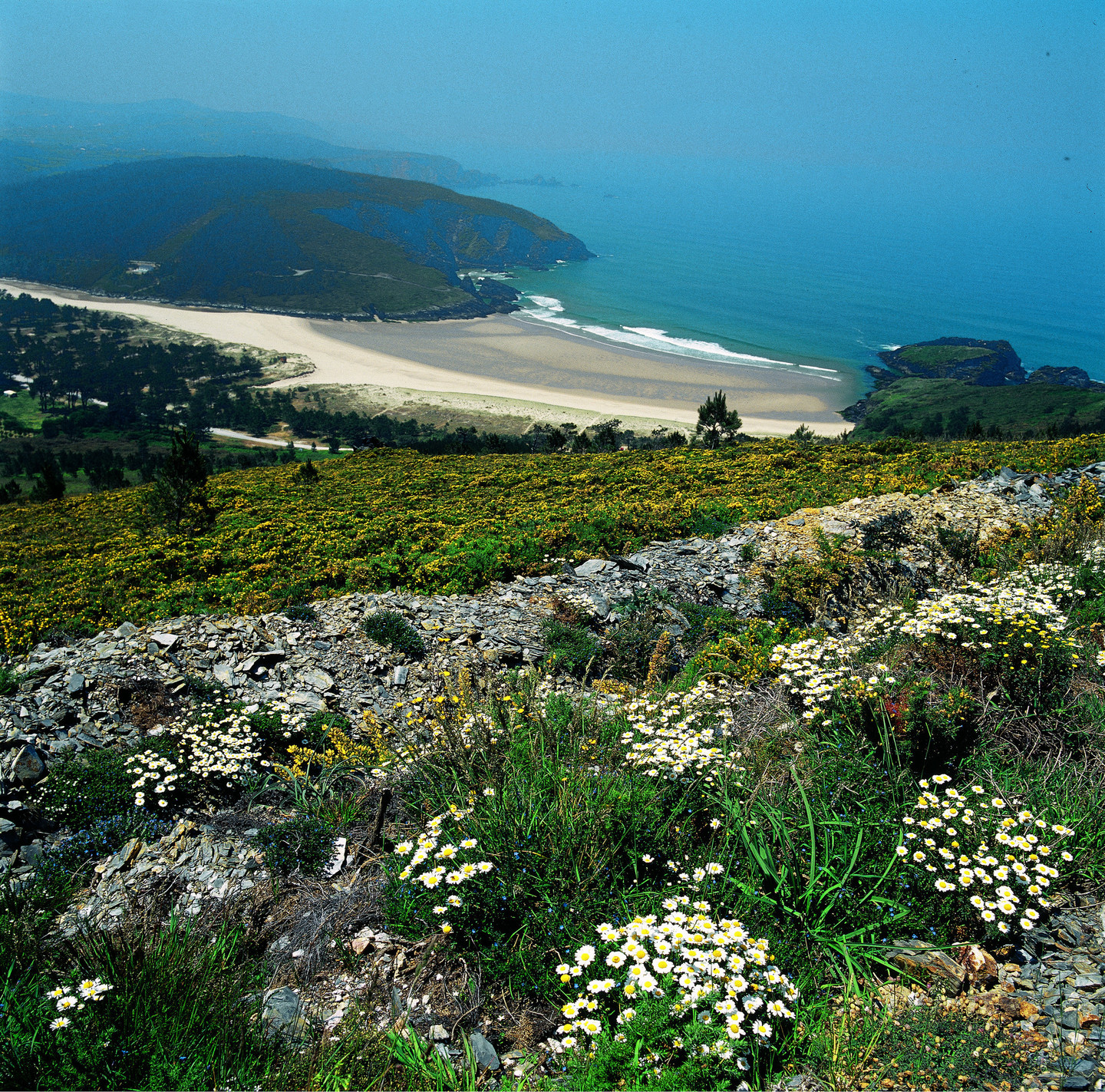
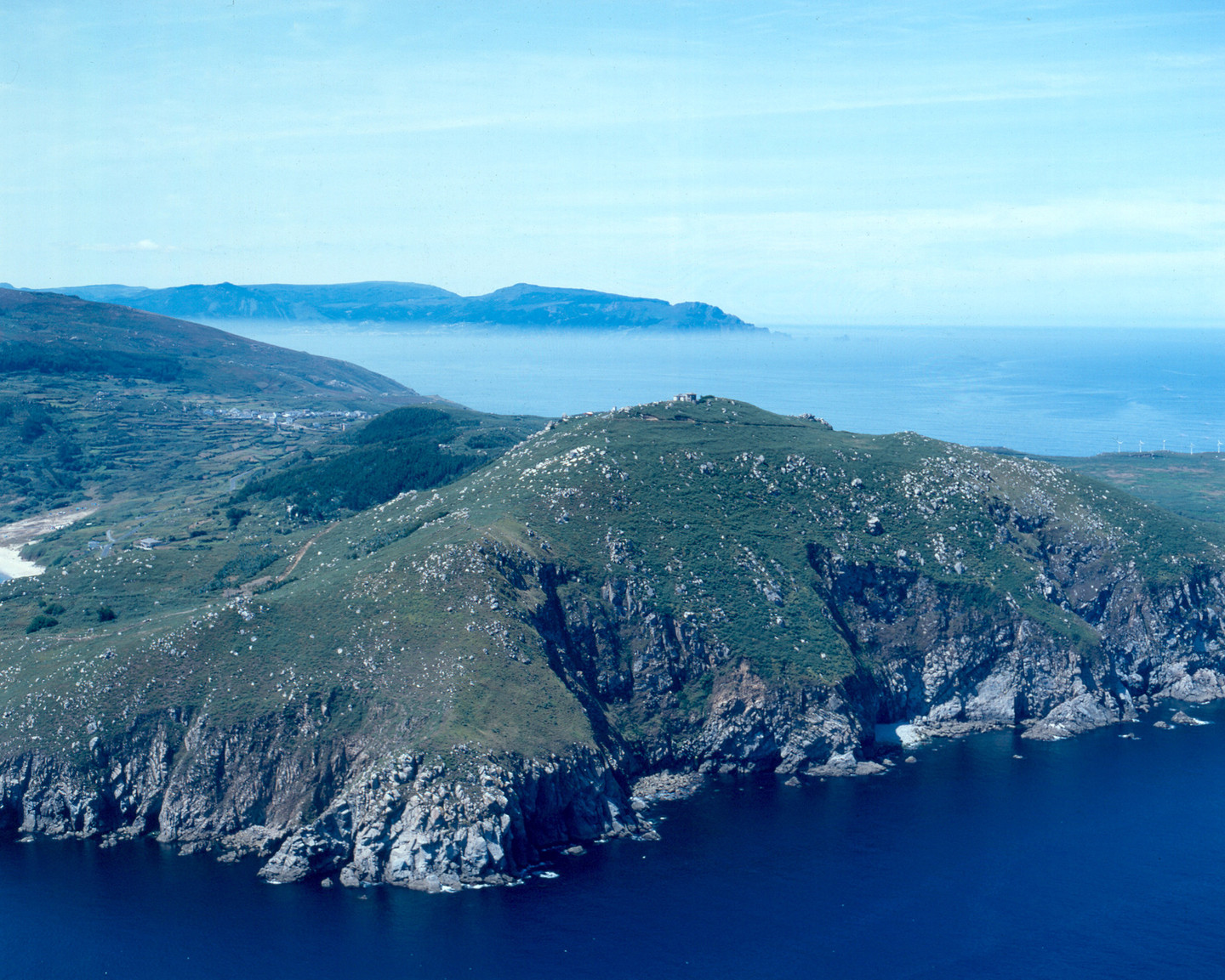
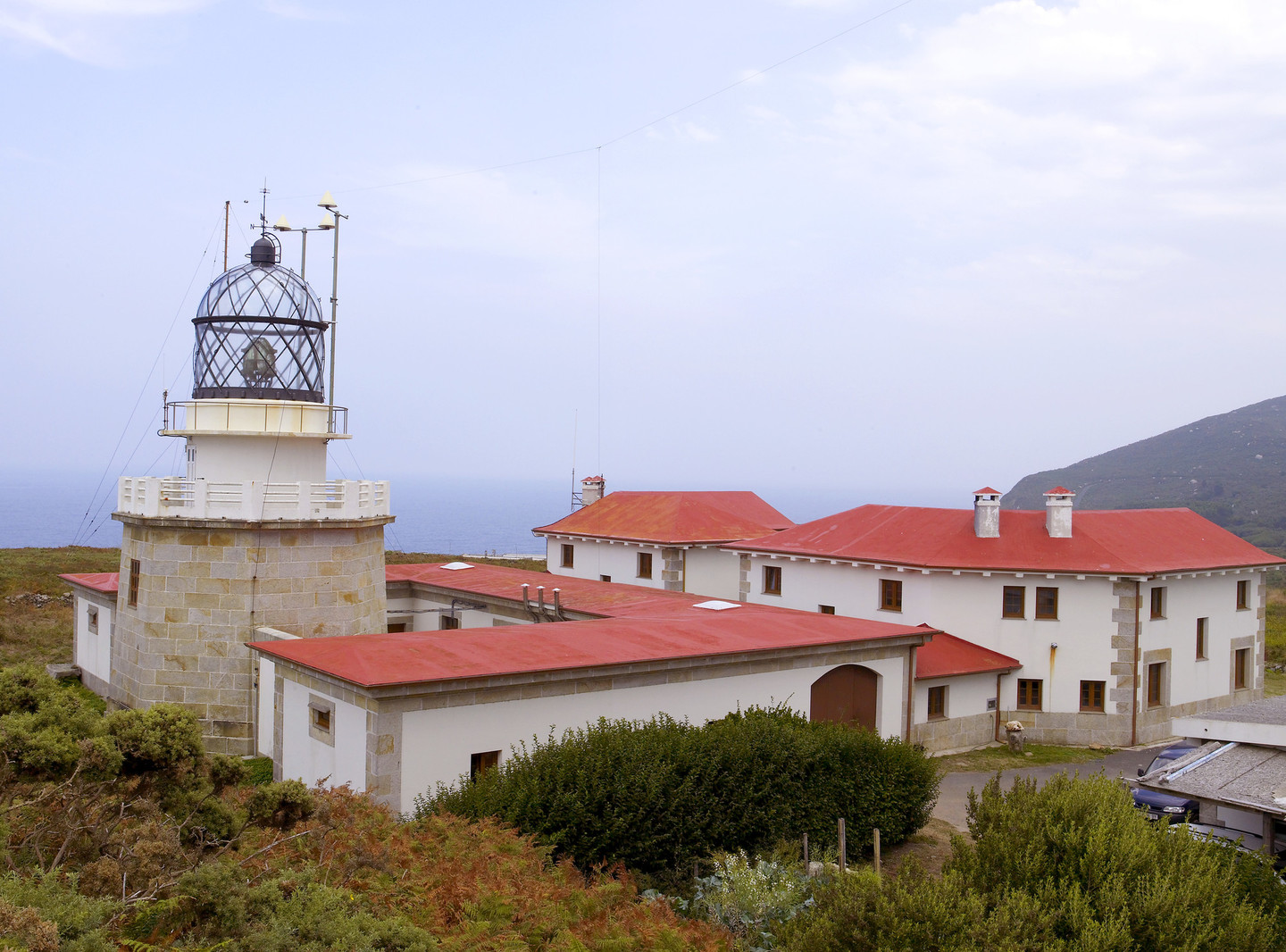
Reaching into the sea in order to divide the waters of the Atlantic from those of the Bay of Biscay, Estaca de Bares is the northernmost point of the entire Iberian Peninsula.

It is 400 kilometres further north than New York, but on this side warm Atlantic Gulf Stream passes by. So these waters do not freeze... but live in a constant agitation, because in Estaca de Bares, the sea is the child of the wind.

From this grey, green and imposing headland one commands a spectacular view. Estaca de Bares is one of the best birding spots in Europa and, in fact, has a permanent ornithological station. Thousands and thousands of birds pass through here every year – especially from September to December – so, for experts and amateurs from around the world, this is paradise.

Gaze to the north

Latitude 43º 47′ 23.6″ N, longitude 7º 41′ 17.9″ W.

Any introduction to the Estaca de Bares point always included its coordinates as the most northern point of the Iberian Peninsula and also the geographic divide between the Atlantic Ocean and the Cantabrian Sea. This enclave was declared a Sitio Natural de Interés Nacional during the time of the Second Republic.

This area owes much of its international fame to its strategic location as a migratory route for hundreds of thousands of birds. The migratory routes for many species of land and water birds from the Atlantic, Mediterranean and Arctic fly over here. The most optimistic estimates exceed two and a half million birds flying west which pass over here. It is the ideal place from which to observe birds like the common gannet, for example, and also the cetaceans found in local waters.

As well as the lighthouse, there is a lookout point at the old navy semaphore building which has been converted into a nature hotel. From here, we can see the remains of the maritime control base on the cliffs, beside which hang dizzyingly a succession of mills which form a scene which brings to mind images from more northern parts. However, the most ancient human construction is the pre-Roman wharf of Bares (Mañón). The protected space also includes the coast of Loiba (Ortigueira) whose gigantic cliffs protect beaches which, because of their difficult access, are some of the most solitary beaches of Galicia. The strength of the sea explains the curious mooring system of the launches which are atiached to the walls of the jetty by pulley wheels to stop them being swept away by the high tide.

Close to the protected space, the seafarers' town of Porto do Barqueiro is well worth a visit, as is the idyllic river Sor at its mouth.

Useful information

Location
Extreme north of the province of A Coruña, in the municipalities of Ortigueira and Mañón.

Area
935.79 hectares.

Acess
Along the AC-862 (Ferrol-Viveiro) road to the Ría de O Barqueiro, then turn off towards the Porto de Bares, along the AC-100.

Services

  • Accommodation: Yes.
  • Food: Yes.

Facilities
Ornithology Station of Estaca de Bares (Muíños, municipality of Bares).

Arriba
Help us improve!