Turismo de Galicia


-
Qué hacer
Camino de Santiago
Naturaleza
Cultura y patrimonio
Mar y costa
Rutas
- Top-Ten: Diez lugares únicos
- Ruta de la camelia
- Rutas turísticas
- Sendas para descubir un país
- Paseos que enamoran
- Vias Verdes
- Escenarios al volante
- EuroVelo Galicia
- Más allá del ocaso
Gastronomía
Turismo de salud
PROMOCIONES PARA DISFRUTAR AHORA
Agenda cultural
Va a pasar... Ver todos
- Qué visitar
-
Planifica tu viaje


mailto:?subject=Envio de contenido de Turismo de Galicia: PR-G 137 RUTA DOS SOUTOS DE CESURIS&body=Te recomiendo que leas la información PR-G 137 RUTA DOS SOUTOS DE CESURIS extraída del portal de Turismo de Galicia en la página https://www.turismo.gal/recurso?cod_rec=277249702%26ctre=23

Datos do recursos turístico
Descripción
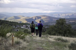
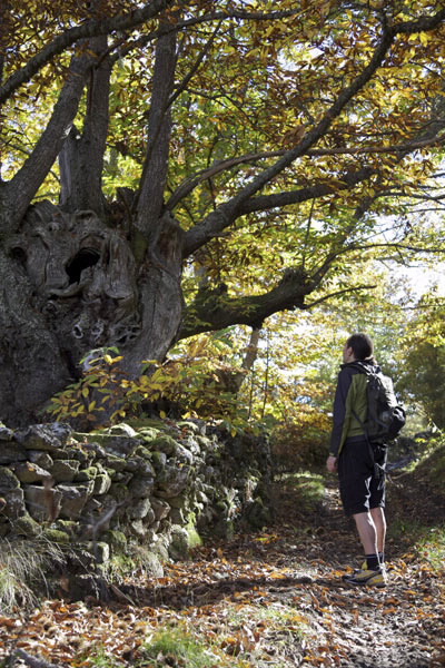
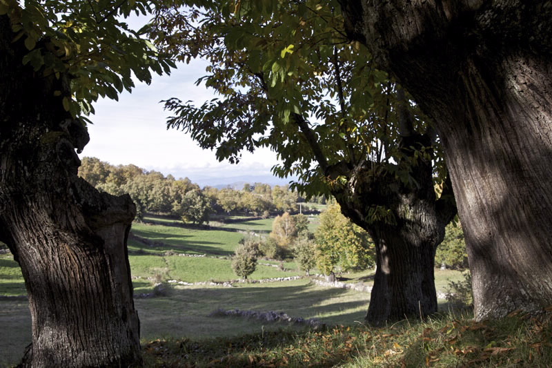
Entre castaños centenarios, esta ruta se adentra en el Macizo Central para recorrer uno de los parajes más
desconocidos dentro del municipio de Manzaneda. Un lugar donde, a pesar de su despoblamiento, todavía
se mantienen vivas actividades tradicionales como el pastoreo, la agricultura y la recogida de castaña.
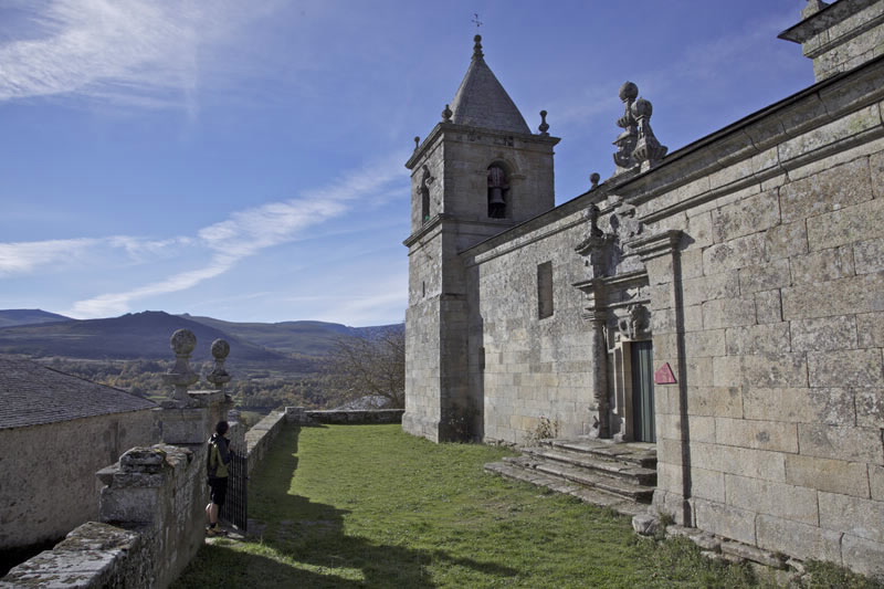
Tras cruzar San Miguel de Bidueira y dejar atrás la iglesia parroquial del mismo nombre se encuentra el cartel de inicio de esta ruta. Desde aquí, con la panorámica del glaciar de Prada a nuestras espaldas, nos dirigimos hacia la aldea de Trabazos, que esconde la capilla de Santo Antonio, hasta alcanzar Cubeiros. Desde Borruga, atravesando el Souto de Tonxil y Placín, se alcanza el final de esta ruta en las afueras de San Miguel de Bidueira.
Llegados a este punto existe la posibilidad de enlazar este sendero con el PR-G 138.
Acceso
En A Pobra de Trives, en el oriente ourensano, nos
desviamos hacia Manzaneda por la OU-0701 que
pasa por Mendoi, Sobrado y el centro de la villa de
Manzaneda hasta llegar a San Miguel de Bidueira.
Un plus
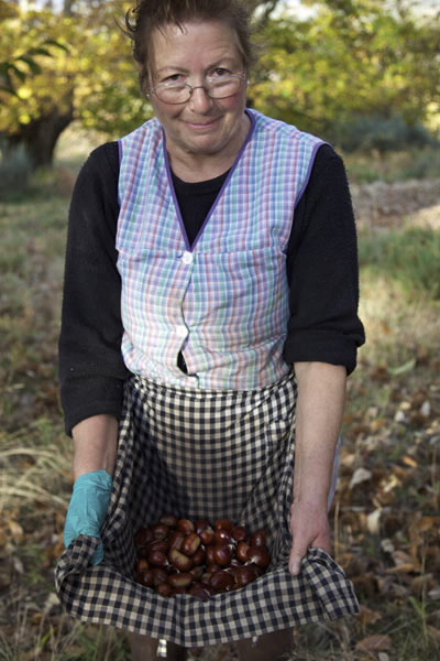
RECOLECTA DE CASTAÑA: “A REBUSCA”
Durante los meses de octubre y noviembre los bosques de castaños o soutos se llenan de recolectores en busca de la castaña. La variedad más común en el municipio de Manzaneda es la castaña amarelante, de alta calidad y muy valorada en el mercado. Además de ser uno de los mayores productores nacionales de castaña, Manzaneda conserva el castaño de mayor perímetro de Galicia, ubicado en Rozabales y a poca distancia de la ruta.El final de la temporada de la castaña está marcado por la actividad conocida como “A Rebusca”, en la que se seleccionan a mano las últimas castañas de la cosecha.
Longitud
11,37 km. La ruta principal mide 10,83 km. y la
derivación de ida y vuelta 540 m..
Punto de partida/llegada
Punto de llegada: San Miguel de Bidueira (Manzaneda) - UTM:29T X:649421 Y:4681672
Punto de partida: San Miguel de Bidueira (Manzaneda) - UTM:29T X:649786 Y:4681206
Recorrido
San Miguel de Bidueira, Trabazos, Cubeiros, Borruga,
Soutos de Tonxil, Placín, San Miguel de Bidueira.
Dificultad
Media
Duración
3 horas.
Material
Por tratarse de alta montaña y debido a la duración
de la ruta, se recomienda calzado de montaña, ropa
de abrigo, agua y comida.
Servicios
Fuera de la ruta, en Manzaneda.
M.I.D.E.
Esfuerzo M.I.D.E.:
Itinerario M.I.D.E.:
Desplazamiento M.I.D.E.:
Medio M.I.D.E.:
Acceso en bicicleta
Apto totalmente
Acceso a caballo
Apto totalmente
Cartografía I.G.N. (1:25:000)
227-II Manzaneda y 228-I A Veiga.
Más información
Concello de Manzaneda
Tel.: 988 333 043
www.concellodemanzaneda.es
Federación Galega de Montañismo
Tel.: 986 208 758 / Fax: 986 207 407
sendeirismofgm@yahoo.es
www.fgmontanismo.com
Tel.: 988 333 043
www.concellodemanzaneda.es
Federación Galega de Montañismo
Tel.: 986 208 758 / Fax: 986 207 407
sendeirismofgm@yahoo.es
www.fgmontanismo.com
Tipo de recorrido
Pequeño recorrido
Interés
Interes general
Interés naturalista
Interés paisajístico
Conexiones con otros senderos
Descargue las coordenadas del recurso que le presentamos...
Plano

Fecha de recogida inicial: 01/08/2019
