Turismo de Galicia


-
Things to do
Way of St. James
Nature
Culture and heritage
Beaches and coast
Tourist trails
- Top ten: Ten unrivalled destinations
- The route of the camellia
- Tourist routes
- Pathways for discovering a country
- Walks to fall in love with
- Greenways
- Scenery at the wheel
- EuroVelo Galicia
- Beyond the Sunset
Gastronomy
Health tourism
PROMOTIONS TO ENJOY NOW
Cultural agenda
Will happen... View all
- Places to visit
-
Plan your trip
Build your journey
Practical information


-
A miña viaxe
A MIÑA VIAXE
- Compartir
- Correo
- Imprimir
mailto:?subject=Content from Tourism of Galicia: PR-G 160 RUTA DA DESEMBOCADURA DO MIÑO&body=I recommend you read the information PR-G 160 RUTA DA DESEMBOCADURA DO MIÑO extracted from the Tourism of Galicia site on page https://www.turismo.gal/recurso/-/detalle/170525000685/pr-g-160-ruta-da-desembocadura-do-mino

Datos do recursos turístico
Description
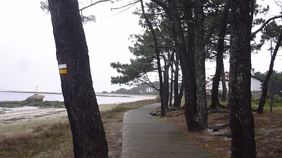
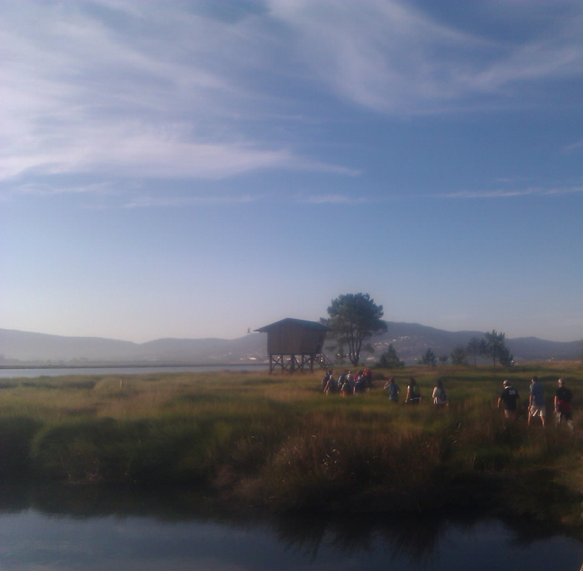
This interesting region can be found in the southwest corner of Galicia, where the Miño River flows into the sea. Because of its great natural and scenic value, it has been named the Baixo Miño SCI and Esteiro do Miño SPA. The trail accompanies the Miño River through this space on its final kilometres before reaching the sea. It is a pleasant, completely flat route that runs along reed beds, rocks and beautiful beaches on a wellmaintained trail.
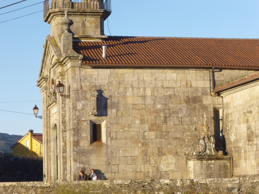
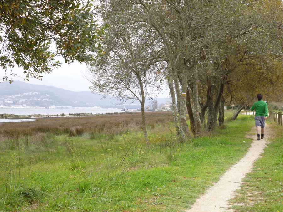
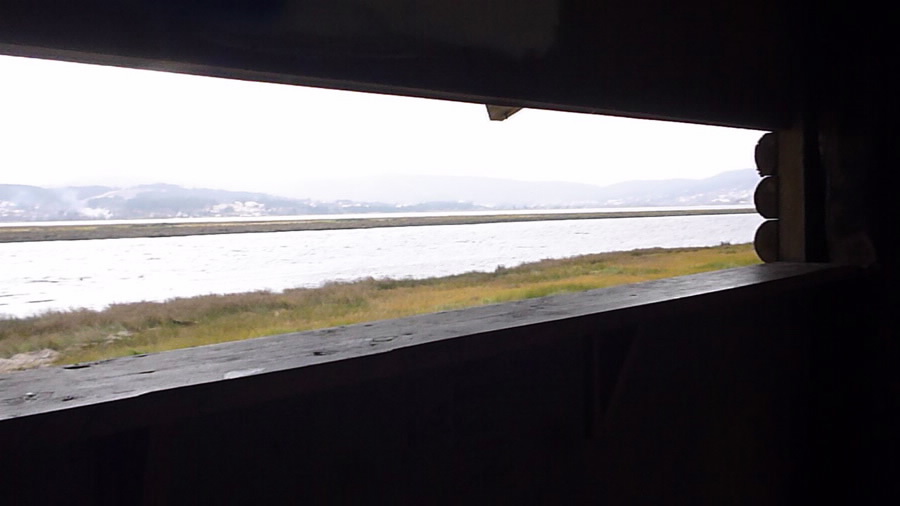
The route begins near San Lorenzo de Salcidos Parish Church. From here, head towards the river across the extensive plain. Step carefully as you cross the reed bed and take a moment to do a bit of birdwatching from the bird observation tower. You will pass through Lugar da Pasaxe, a place with a great deal of history. It was and continues to be a maritime connection with neighbouring
Portugal. Highlights include the magnificent Jesuit School building.
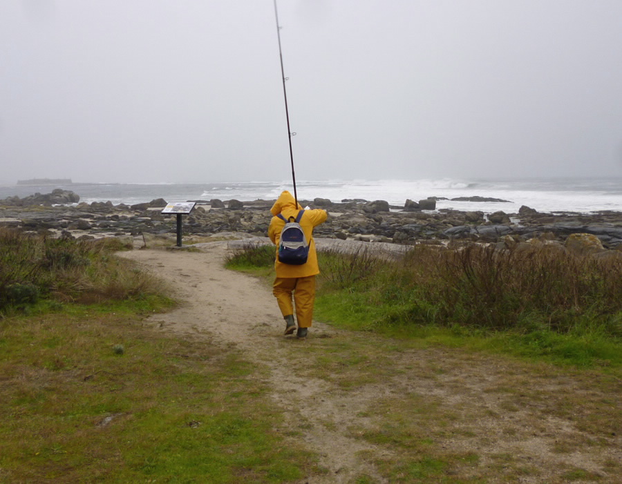
Halfway along the route, river turns to sea. You will spot O Forte da Ínsua, a spectacular Portuguese fortification erected in the centre of the river mouth, where the waters of the river and sea collide violently. Continuing along the trail, you will cross a large rocky area
broken up by the force of the waves, creating millions of pebbles. You will also see a pile of stones once used to extract salt from the seawater.
At this point, there are two alternatives to the main route, variations that run a little further away from the coast, allowing you to make the return journey along different paths.
Access
The Ways of St. James
Longitude
Point of Departure / Arrival
Route
Difficulty
Duration
Services
M.I.D.E.
Bicycle access
Horse access
cartography I.G.N. (1:25:000)
Further information
Tel.: 986 614 546
turismo@aguarda.es
turismoaguarda.es
Kind of route
Interest
Map

