Turismo de Galicia

-
Things to do
Way of St. James
Nature
Culture and heritage
Beaches and coast
Tourist trails
- Top ten: Ten unrivalled destinations
- The route of the camellia
- Tourist routes
- Pathways for discovering a country
- Walks to fall in love with
- Scenery at the wheel
- EuroVelo Galicia
- Beyond the Sunset
Gastronomy
Health tourism
PROMOTIONS TO ENJOY NOW
Cultural agenda
Will happen... View all
- Places to visit
-
Plan your trip
Build your journey
Practical information


-
A miña viaxe
A MIÑA VIAXE
- Compartir
- Correo
- Imprimir

Description
This trail is part of the Rutas del Salnés network. It shares some sections with O Salnés MTB Centre’s Route 6, making it possible for cyclists to combine the two routes.
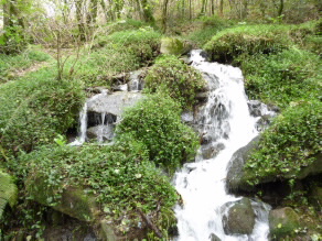
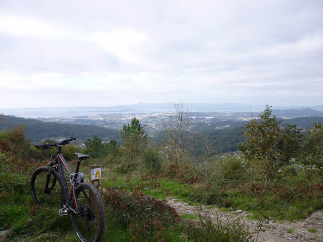
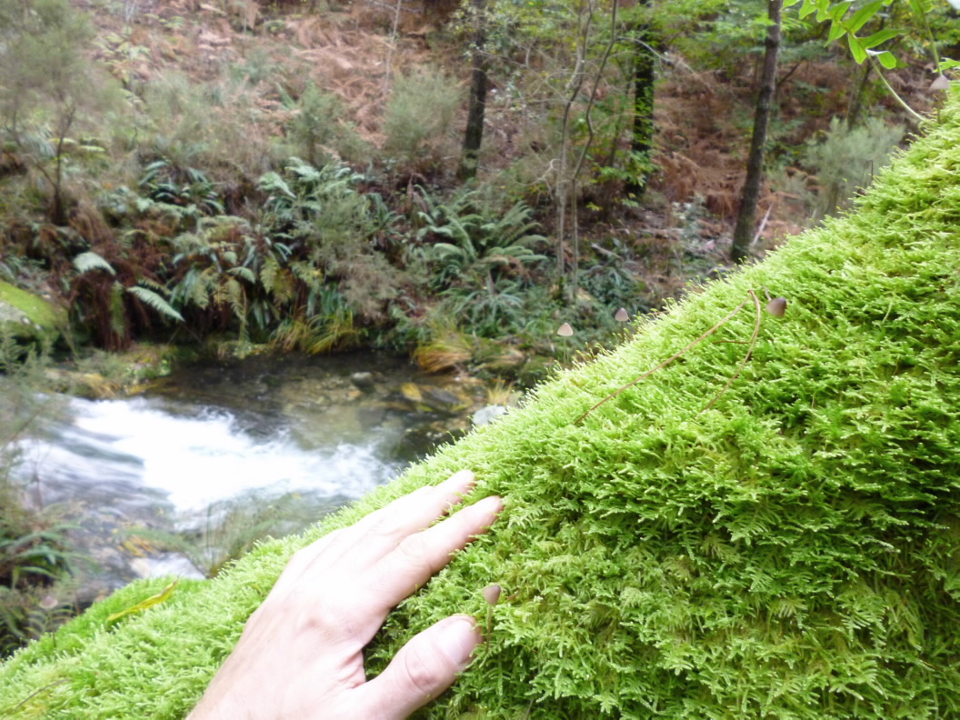
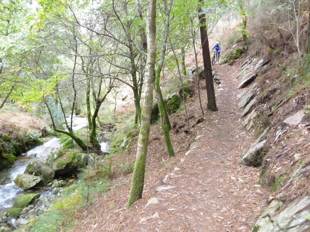
The first part of the route climbs the lower slopes of Mount A Escusa, from which you will be able to make out the Ria of Arousa. The next leg will take you along forest tracks. Then you will begin to descend, following the course of the San Martiño River, a small watercourse that snakes its way through the rocks, creating many colourful spots. Legend has it that a group of Muslims threw the bells they had taken from San Salvador de Meis Church into the river at a spot known as O Pozo Negro (The Black Well). When the guilty parties were discovered, the town forced them to recover the bells, and several died in the attempt.
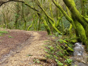
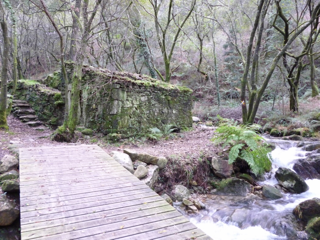
The final section of the trail, which continues to follow the river, is completely flat. This relaxed walk runs past vineyards of Albariña rapes and maize fields, passing the churches of San Salvador de Meis and San Martiño de Meis.
Access
A plus
A ARMENTEIRA MONASTERY
Legend has it that Ero, a knight in the court of Alfonso VII and founder of A Armenteira Monastery by divine command, dreamt a dream lasting 200 years...
History tells us of a modest monastery with a small community from the 12th century to the mid- 19th century, when it was abandoned as a result of the seizure of church lands and property under Mendizábal.
Today it still rises imposingly from the lower slopes of the mountain, distinguished by its large rose window. Nearby is a state-of-the-art building, the new hotel establishment belonging to the Pousadas do Salnés network.
Longitude
Point of Departure / Arrival
Route
Difficulty
Duration
Services
M.I.D.E.
Bicycle access
Horse access
cartography I.G.N. (1:25:000)
Further information
Tel.: 986 712 001
correo@meis.gal
www.meis.gal
Deputación de Pontevedra
Pazo Deputación Provincial
Tel.: 986 804 100
www.depo.gal
Kind of route
Interest
Connections with other trails
Map


