Turismo de Galicia

-
Things to do
Way of St. James
Nature
Culture and heritage
Beaches and coast
Tourist trails
- Top ten: Ten unrivalled destinations
- The route of the camellia
- Tourist routes
- Pathways for discovering a country
- Walks to fall in love with
- Scenery at the wheel
- EuroVelo Galicia
- Beyond the Sunset
Gastronomy
Health tourism
PROMOTIONS TO ENJOY NOW
Cultural agenda
Will happen... View all
- Places to visit
-
Plan your trip
Build your journey
Practical information


-
A miña viaxe
A MIÑA VIAXE
- Compartir
- Correo
- Imprimir

Description
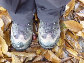
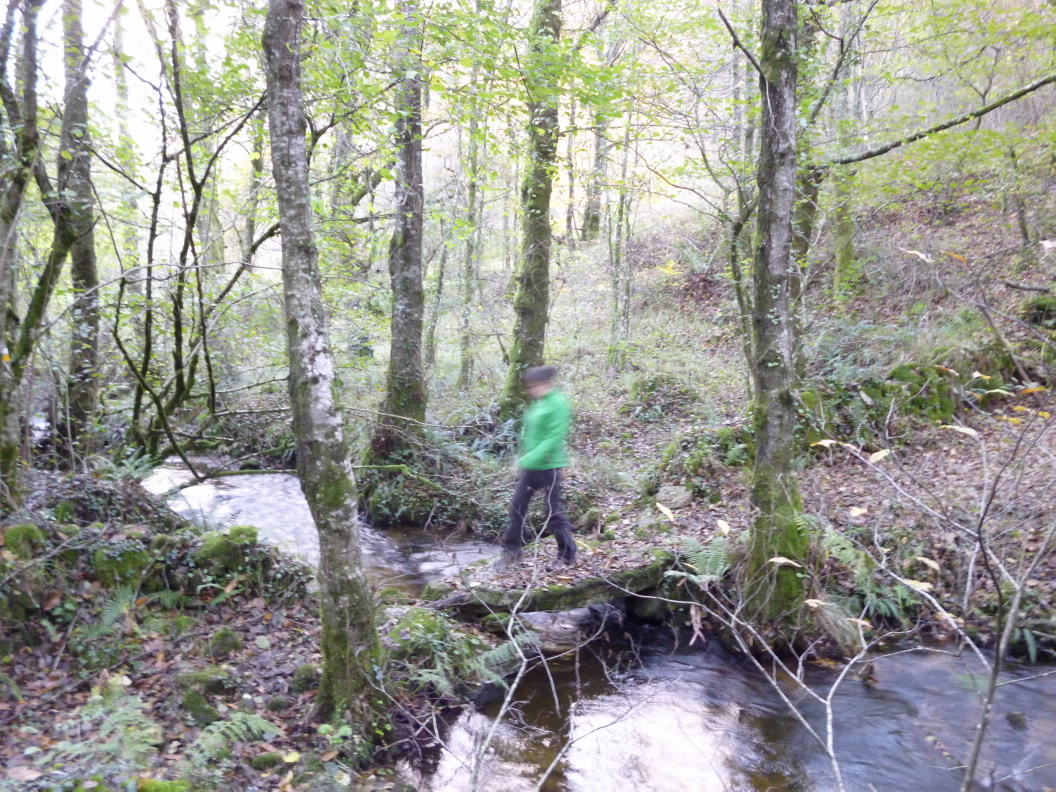
This is another trail in the municipality of Toques network whose main attraction is O Forno dos Mouros, one of the most important megalithic monuments in Galicia. The route is almost circular, beginning in the village of Mirallos and ending 900 m from the same spot. If you follow the trail clockwise, you will soon enter the Serra do Careón. This mountain area has been named a Site of Community Importance (SCI).
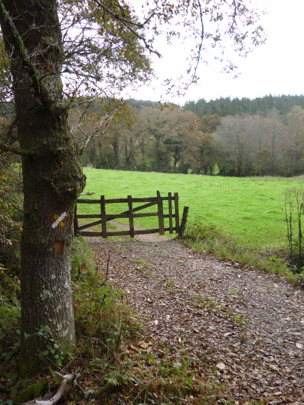
The first leg is mostly mountainous. Continue along dirt roads until you reach O Acibadoiro Church. The wide trail alternates with mysterious narrow paths known as “congostras”. The width of a cart, these tracks are an authentic vestige of the past. As the trail descends, the woods grow more dense, with lovely picturepostcard grasslands also making an appearance.
At the lowest point on the route, the trail connects to Trail PR-G 166 Fervenzas de Toques, making it possible to combine the two.
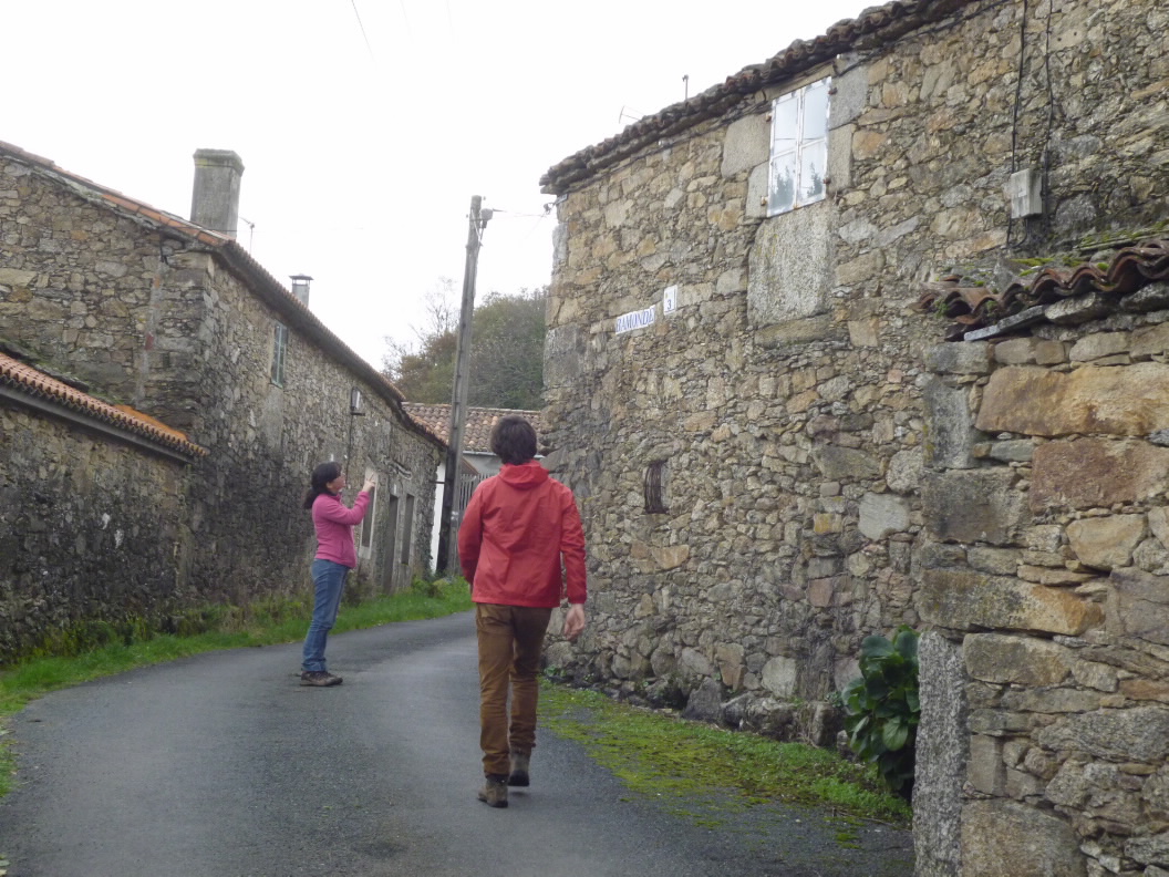
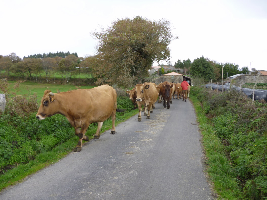
Go through Baamonde and continue climbing through vast meadows to solitary Lugar do Couso. From here, the trail climbs up to the peaks of the Serra do Bocelo mountains, with spectacular views of the surrounding area, until it reaches the high point on the route: O
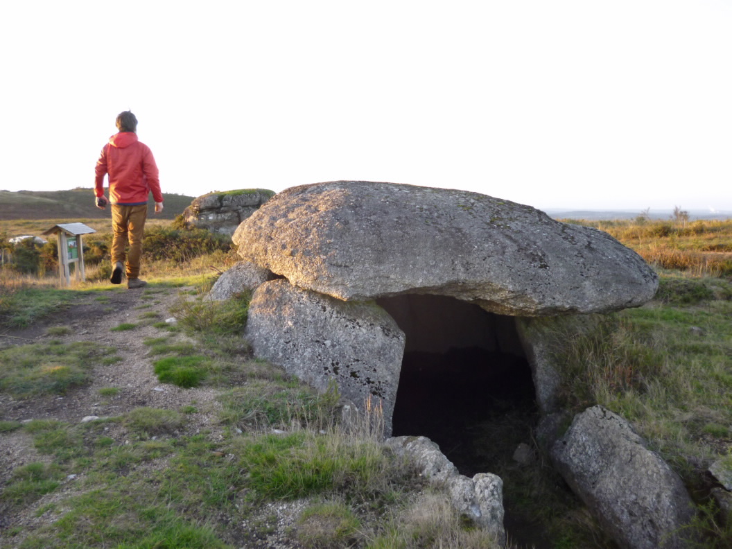
Forno do Mouros. This dolmen still has almost all of its paintings.
The trail ends at Mount O Peneiral, just 900 m from the starting point.
Access
The Ways of St. James
A plus
FORNO DOS MOUROS
Dolmens are Neolithic structures made up of large flat stones. In Galicia, dolmens took on a special size due to the abundance of granite. The ingenuity of their construction is astounding. Legend tells that fabulous treasures are buried beneath Galicia’s dolmens. What we do know is that they were associated with important funerary rites.
Forno dos Mouros, a dolmen dating from 3,000 BC, is situated on the king’s highway that linked As Pontes de García Rodríguez with the Port of Bares, a route along which more than 80 tombs have been catalogued.
Although it is not possible to visit the tomb, the inside is decorated with horizontal zigzag lines, alternating between red and black.
Longitude
Point of Departure / Arrival
Route
Difficulty
Duration
Services
M.I.D.E.
Bicycle access
Horse access
cartography I.G.N. (1:25:000)
Further information
Concello de Toques
Tel.: 981 505 826
e-mail: correo@toques.es
web: www.toques.es
Tel.: 626 835 030
xullotaboada@hotmail.com
Kind of route
Interest
Connections with other trails
Map


