Turismo de Galicia

-
Things to do
Way of St. James
Nature
Culture and heritage
Beaches and coast
Tourist trails
- Top ten: Ten unrivalled destinations
- The route of the camellia
- Tourist routes
- Pathways for discovering a country
- Walks to fall in love with
- Scenery at the wheel
- EuroVelo Galicia
- Beyond the Sunset
Gastronomy
Health tourism
PROMOTIONS TO ENJOY NOW
Cultural agenda
Will happen... View all
- Places to visit
-
Plan your trip
Build your journey
Practical information


-
A miña viaxe
A MIÑA VIAXE
- Compartir
- Correo
- Imprimir

On the Way of St. James
Description
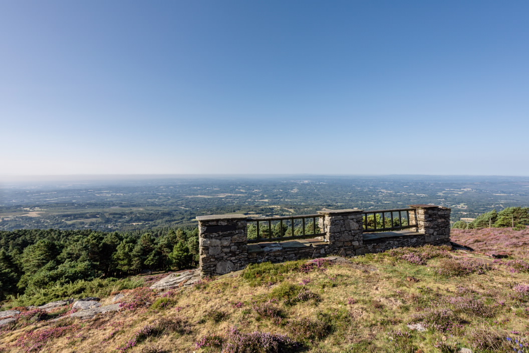
At 935 metres, Monseivane, or Coto de Monseivane, is the highest peak of the A Carba range, close to the O Xistral range with which it forms the main mountain system in northern Galicia.
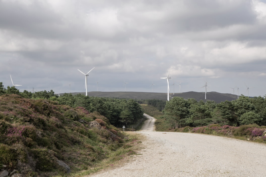
Part of A Terra Chá, the most extensive lowland area in Galicia, the hills bordering the county provide the best views of the low-lying areas characterised by well-kept farms, scattered small hamlets and hedges. Livestock can often been found grazing freely around the pastures, scrublands and pine groves of Monseivane.
Part of A Terra Chá, the most extensive lowland area in Galicia, the hills bordering the county provide the best views of the low-lying areas characterised by well-kept farms, scattered small hamlets and hedges. Livestock can often been found grazing freely around the pastures, scrublands and pine groves of Monseivane.
The Ways of St. James
The Northern Camino

