Turismo de Galicia

-
Things to do
Way of St. James
Nature
Culture and heritage
Beaches and coast
Tourist trails
- Top ten: Ten unrivalled destinations
- The route of the camellia
- Tourist routes
- Pathways for discovering a country
- Walks to fall in love with
- Scenery at the wheel
- EuroVelo Galicia
- Beyond the Sunset
Gastronomy
Health tourism
PROMOTIONS TO ENJOY NOW
Cultural agenda
Will happen... View all
- Places to visit
-
Plan your trip
Build your journey
Practical information


-
A miña viaxe
A MIÑA VIAXE
- Compartir
- Correo
- Imprimir

On the Way of St. James
Description
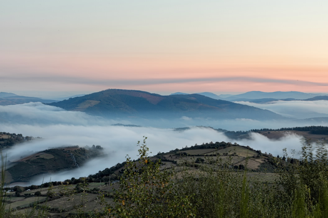
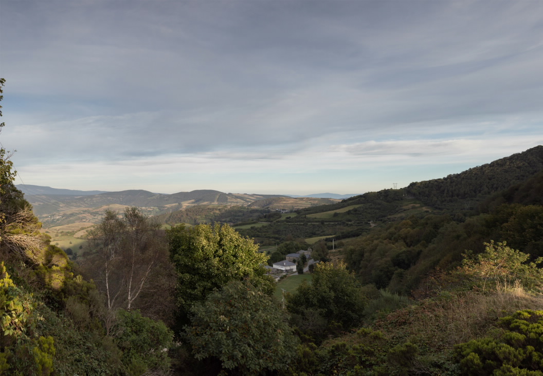
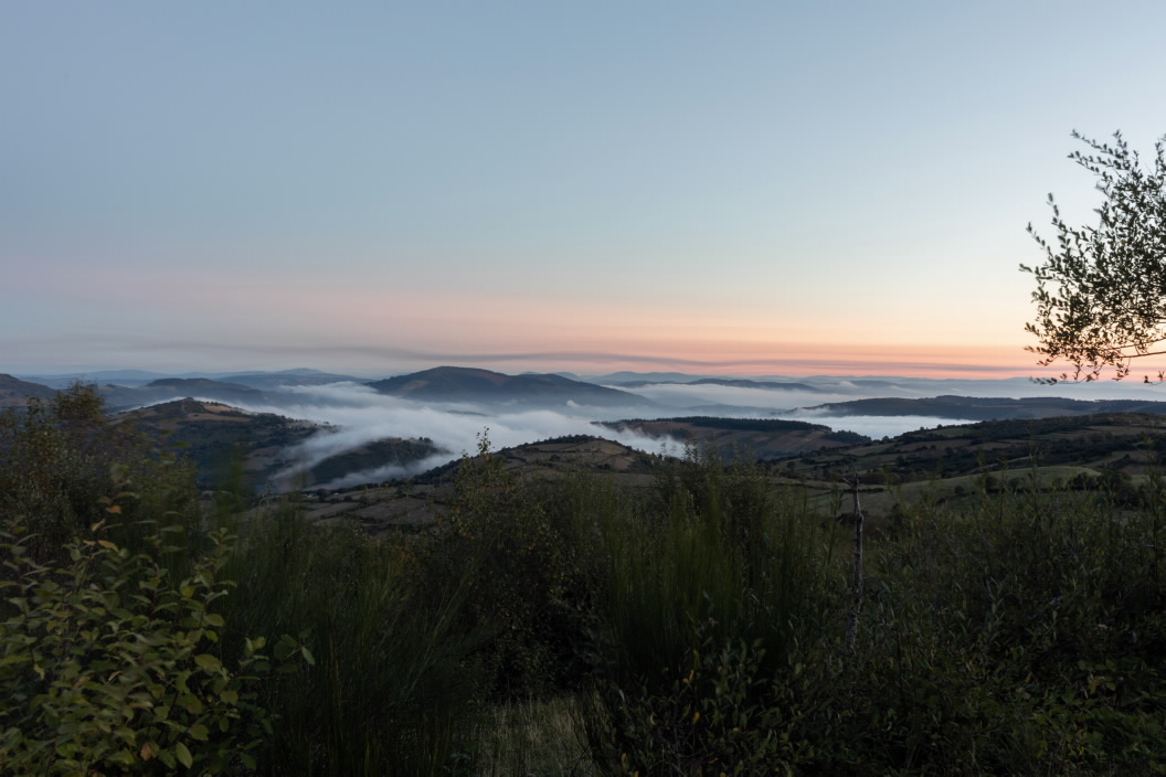
This is the highest point on this route, at 1,337 metres above sea level. From this natural balcony O Rañadoiro mountains and the Lóuzara Valley can be seen. Although snow covers this Galician peak in winter, from here the scrubland in the higher areas and the trees in the bottom of the valleys can be seen.
The Ways of St. James
The French Camino

