Turismo de Galicia

-
Things to do
Way of St. James
Nature
Culture and heritage
Beaches and coast
Tourist trails
- Top ten: Ten unrivalled destinations
- The route of the camellia
- Tourist routes
- Pathways for discovering a country
- Walks to fall in love with
- Scenery at the wheel
- EuroVelo Galicia
- Beyond the Sunset
Gastronomy
Health tourism
PROMOTIONS TO ENJOY NOW
Cultural agenda
Will happen... View all
- Places to visit
-
Plan your trip
Build your journey
Practical information


-
A miña viaxe
A MIÑA VIAXE
- Compartir
- Correo
- Imprimir

Description
From the Lodeiro
river and recreational area, next to the Lérez river and the mouth of its
tributary Rego de Maneses, the path follows the Rego de Maneses for about four
kilometres to the Muíño de Chan do Coiñal, and then runs along the Parque
Arqueolóxico da Arte Rupestre in Campo Lameiro and, finally, returns to the
right-hand bank of the Lérez.
The route runs
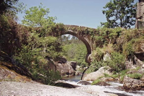
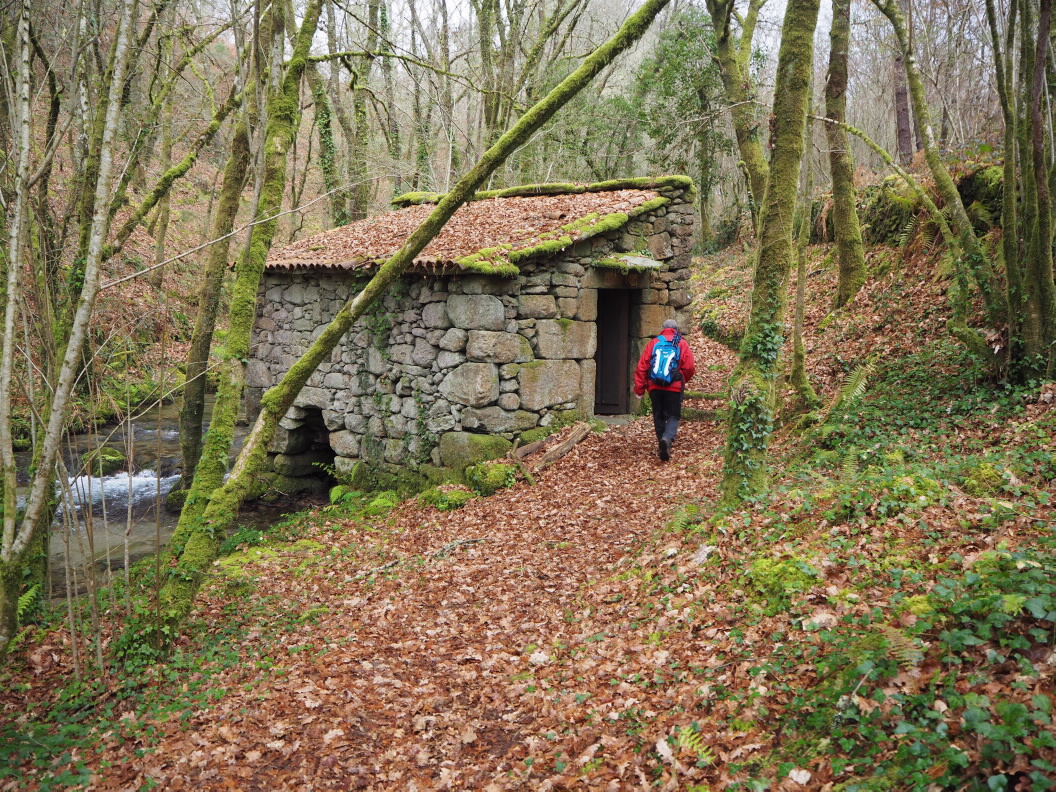
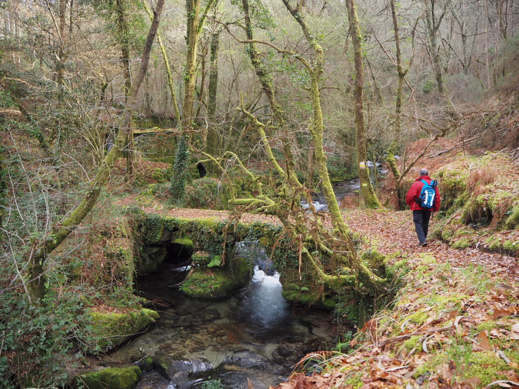
through the Maneses river valley, alongside the river and constantly crosses
from one bank to another. It takes you past the numerous flour mills that were
operated by the waters of this stream, as well as the different constructions
that surround these: bridges, stone walkways, channels, small dams, etc.
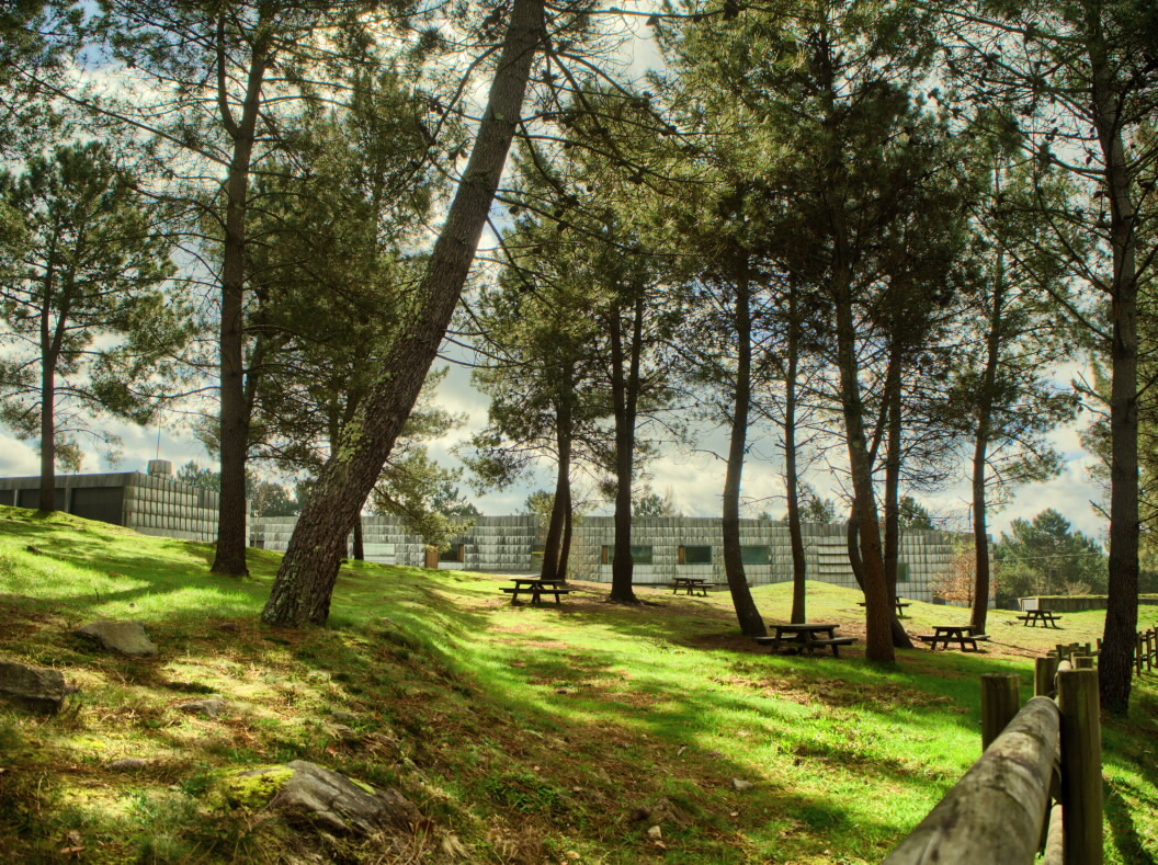
Away from the river, at the highest part of the route, you will find the entrance to the Parque Archeolóxico. It is a worth planning and making time for a visit there. The trail then descends and crosses small towns until it reaches the Lérez riverbed, continuing for one kilometre until it reaches Lodeiro.
Access
From the N-541, which connects Pontevedra and Ourense, take the PO-231 in the direction of A Lagoa, capital of the Campo Lameiro municipality. Following this road, the start is on the left, after crossing the bridge over the Lérez river.
A plus
PARQUE ARQUEOLÓXICO DA ARTE RUPESTRE DE CAMPO LAMEIRO
The Archeological Park for Cave Art in Campo Lameiro (Parque Arqueolóxico da Arte Rupestre de Campo Lameiro) is a centre for the dissemination and study of prehistoric Galician engravings. It is located next to one of the highest concentrations of Bronze Age petroglyphs on the entire European continent and has very spectacular representations such as the great deer of "Laxe dos Carballos". A route of over 3 km encompasses several petroglyphs to allow you to appreciate the main scenes and motifs of the Galician cave engravings.
Longitude
Point of Departure / Arrival
Route
Lodeiro recreational area, Rego de Maneses, Parque Arqueolóxico da Arte Rupestre, Praderreo, Lérez river, Lodeiro recreational area.
Difficulty
Duration
Equipment
Services
M.I.D.E.
Bicycle access
Horse access
cartography I.G.N. (1:25:000)
Further information
Tel.: 986 75 20 34
campolameiro.org
Kind of route
Interest
Connections with other trails
-
GR 94 RURAL DE GALICIA
Paths
Map


