Turismo de Galicia

-
Things to do
Way of St. James
Nature
Culture and heritage
Beaches and coast
Tourist trails
- Top ten: Ten unrivalled destinations
- The route of the camellia
- Tourist routes
- Pathways for discovering a country
- Walks to fall in love with
- Scenery at the wheel
- EuroVelo Galicia
- Beyond the Sunset
Gastronomy
Health tourism
PROMOTIONS TO ENJOY NOW
Cultural agenda
Will happen... View all
- Places to visit
-
Plan your trip
Build your journey
Practical information


-
A miña viaxe
A MIÑA VIAXE
- Compartir
- Correo
- Imprimir

On the Way of St. James
The Ways of St. James
The Route of the Sea of Arousa and River Ulla
The Walk
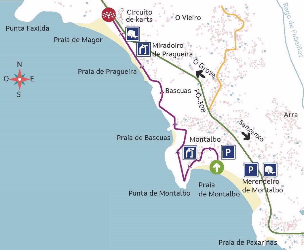
From praia de Montalbo to praia de Magor
The sun of Salnés
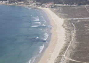
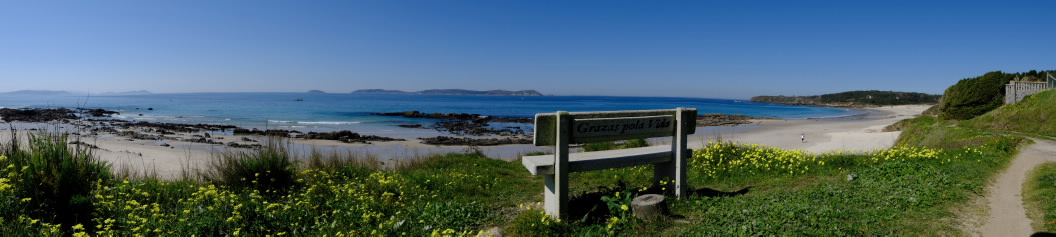
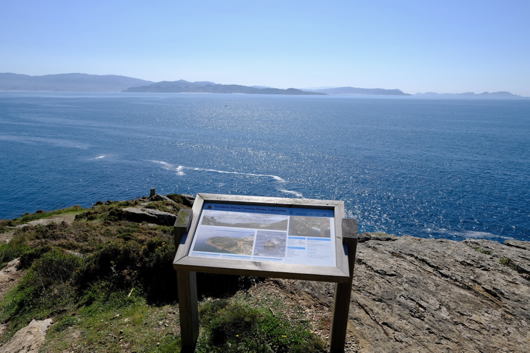
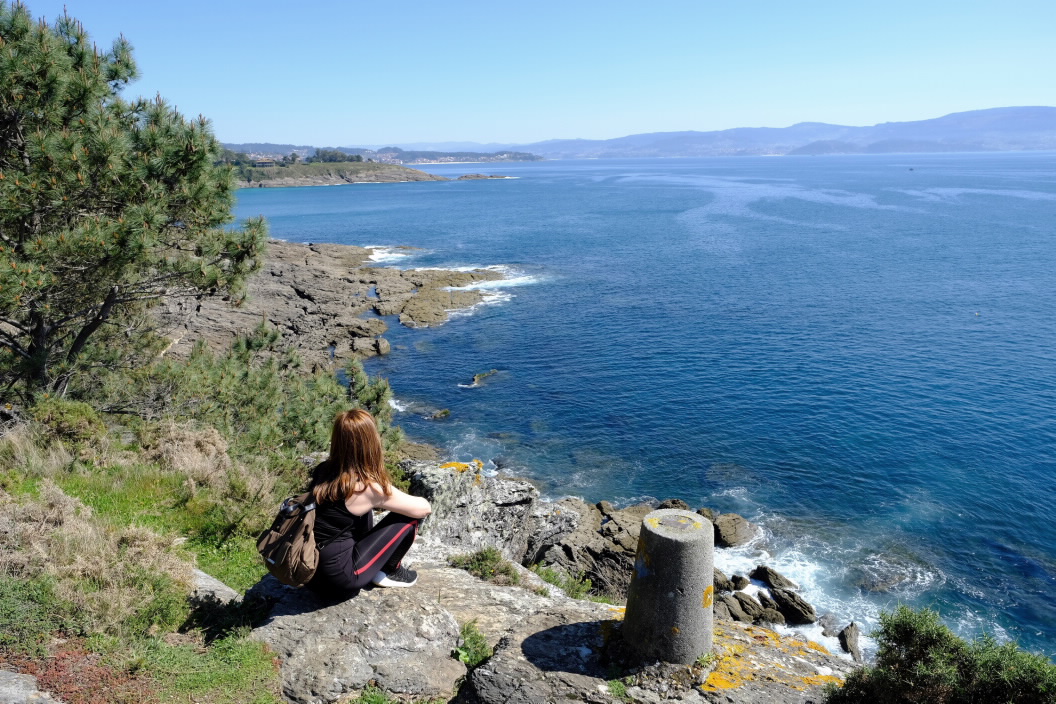
The starting point of this route is located in the municipality of Sanxenxo, next to praia de Montalbo. We will head first to punta Montalbo which, with its 57 m above the sea, becomes an exceptional place from which to contemplate much of the ría de Pontevedra as well as the Illas Cíes, cabo Home and even cabo Silleiro.
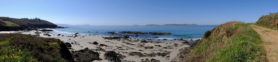
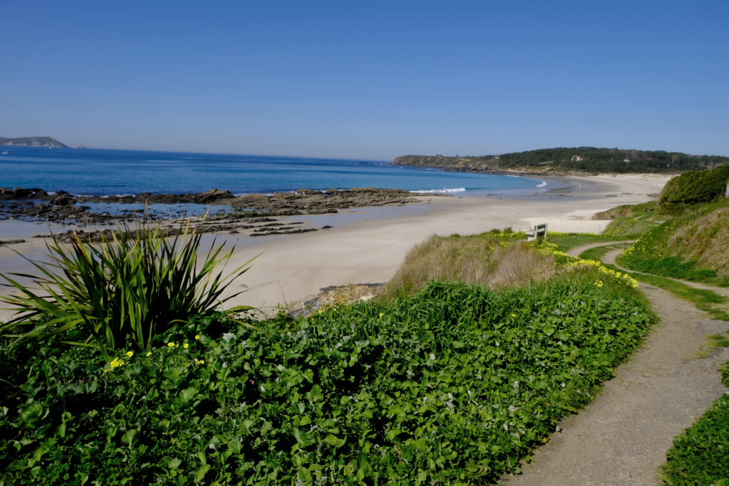
From here the path will take us to the nudist beaches of Bascuas and then Pragueira, where we will move away from the coastline to reach a nearby viewpoint that will allow us to observe the Illas Ons located just in front of us and that, like the Illas Cíes, are part of the Parque Nacional Marítimo-Terrestre das Illas Atlánticas.
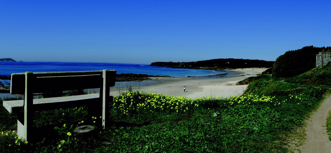
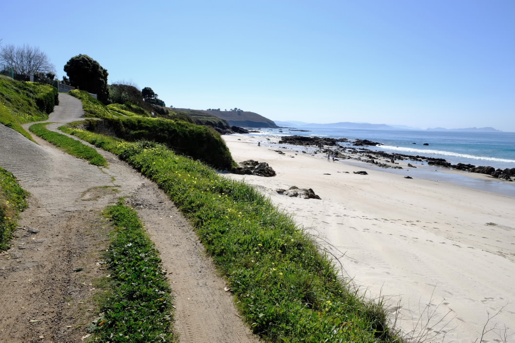
To finish our walk we will continue to praia de Magor, which borders on its left bank with punta Faxilda and has a dune complex protected by a wooden walkway that will facilitate the walk to the end of this sandy area.
Characteristics
Length: 3.2 km (one way)
starting point:
Praia de Montalbo 42º23'57.93"N / 8º51'5.70"W
End Point :
Praia de Magor 42º24'56.10"N / 8º52'2.42"W
Type
Contemplating the sea
Other sites you may be interested in...
-
A LANZADA
Beach
Initial pickup date: 09/01/2021
