Turismo de Galicia

-
Things to do
Way of St. James
Nature
Culture and heritage
Beaches and coast
Tourist trails
- Top ten: Ten unrivalled destinations
- The route of the camellia
- Tourist routes
- Pathways for discovering a country
- Walks to fall in love with
- Scenery at the wheel
- EuroVelo Galicia
- Beyond the Sunset
Gastronomy
Health tourism
PROMOTIONS TO ENJOY NOW
Cultural agenda
Will happen... View all
- Places to visit
-
Plan your trip
Build your journey
Practical information


-
A miña viaxe
A MIÑA VIAXE
- Compartir
- Correo
- Imprimir

On the Way of St. James
The Ways of St. James
Portiguese Route by coast
The Walk
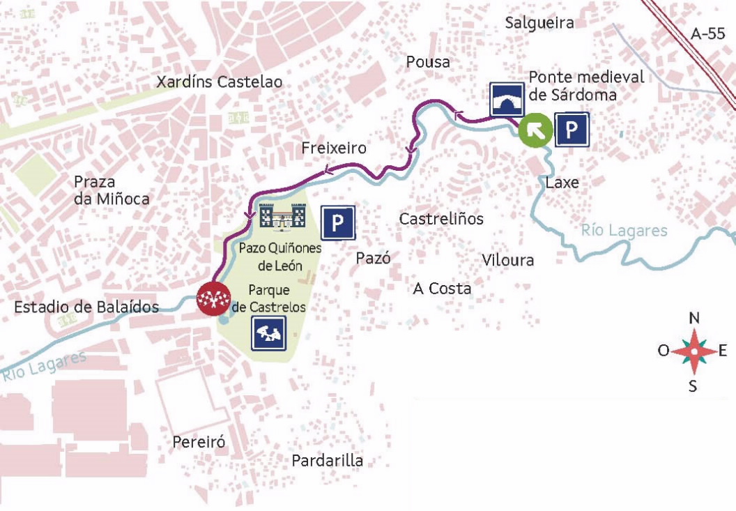
From the medieval bridge of Sárdoma to parque de Castrelos
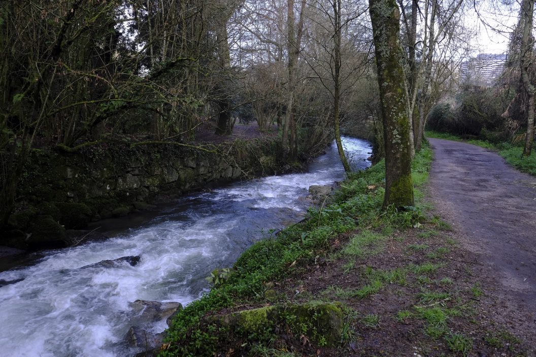
Lagares River Walk
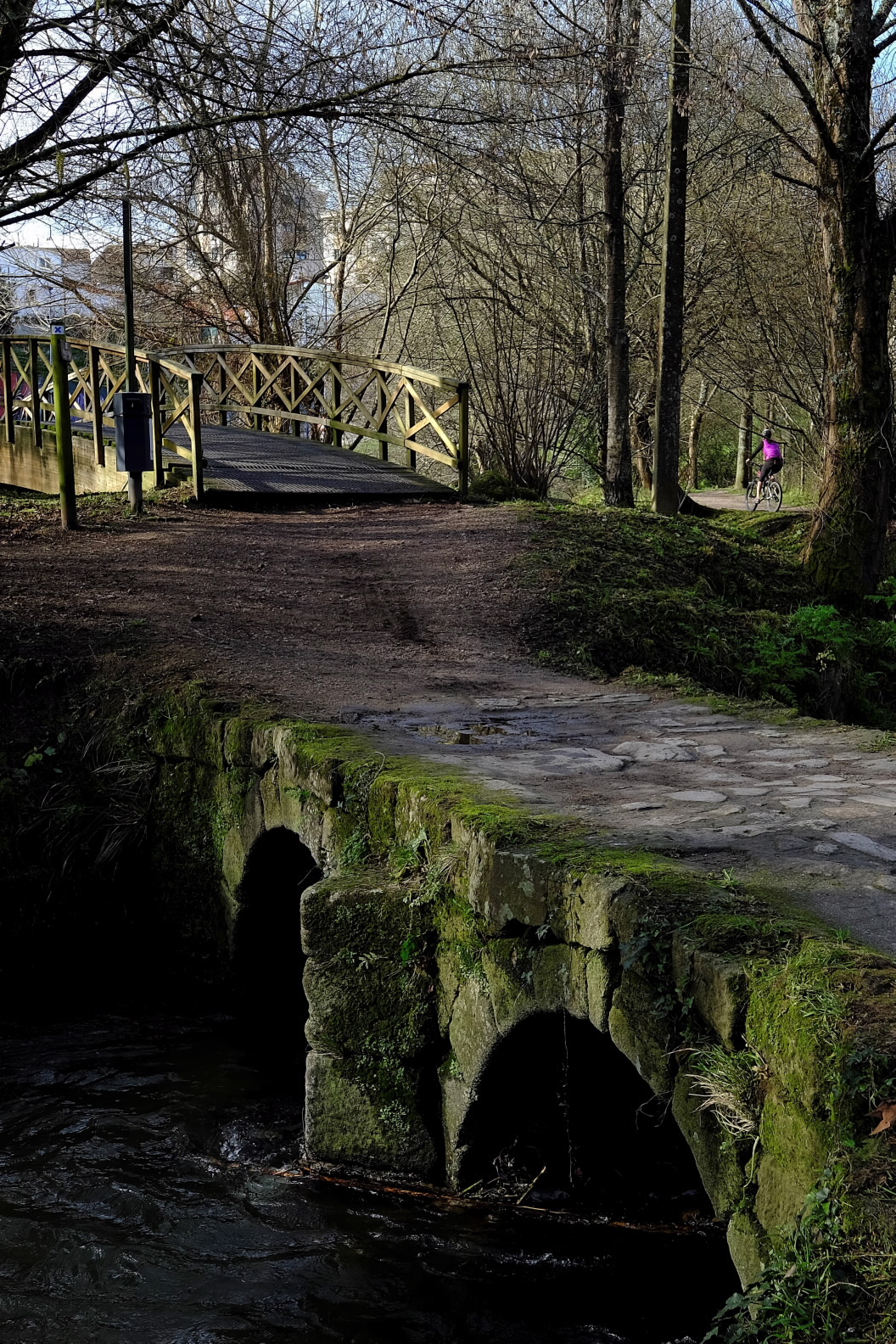
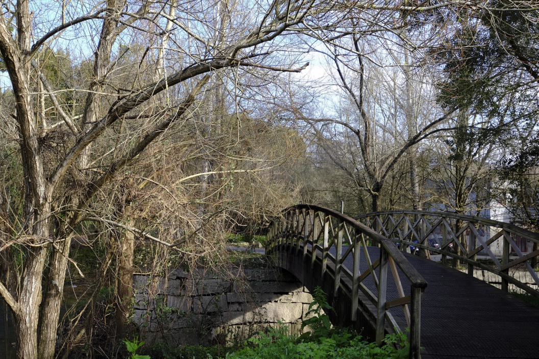
The start of this walk is located in the parish of San Pedro de Sárdoma, specifically next to the medieval bridge. It is a construction which has been operational since the 12th century, made up of two semicircular arches with a triangular cutwater in the middle that helps to distribute the force of the water flow.
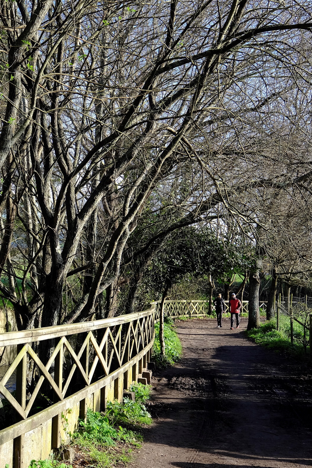
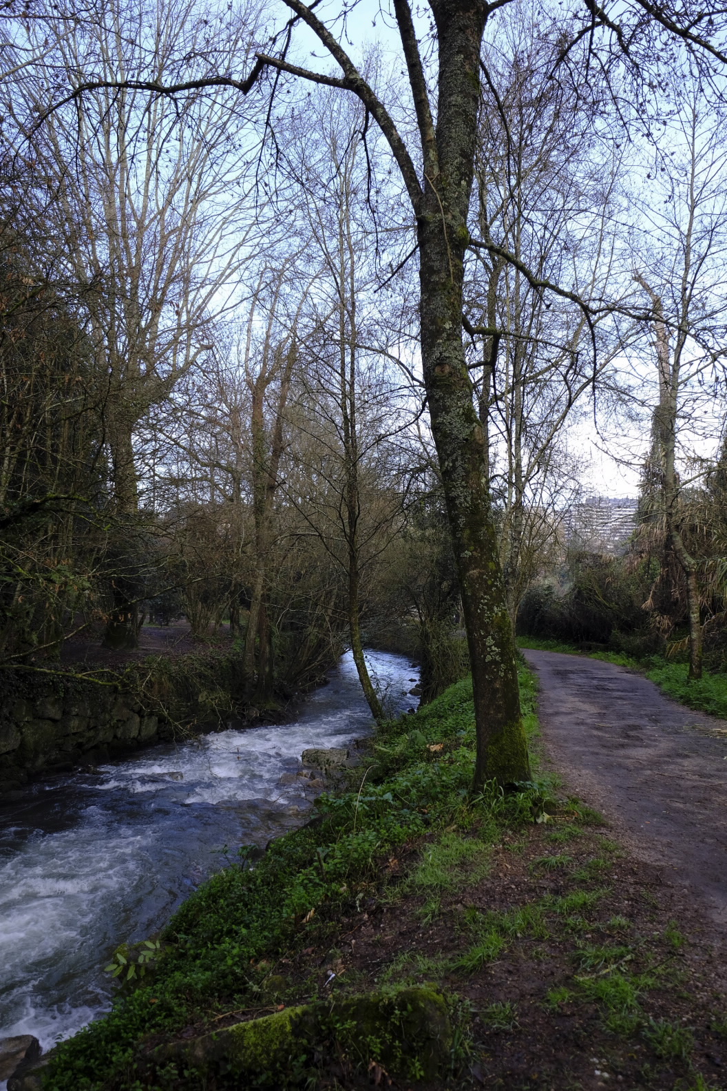
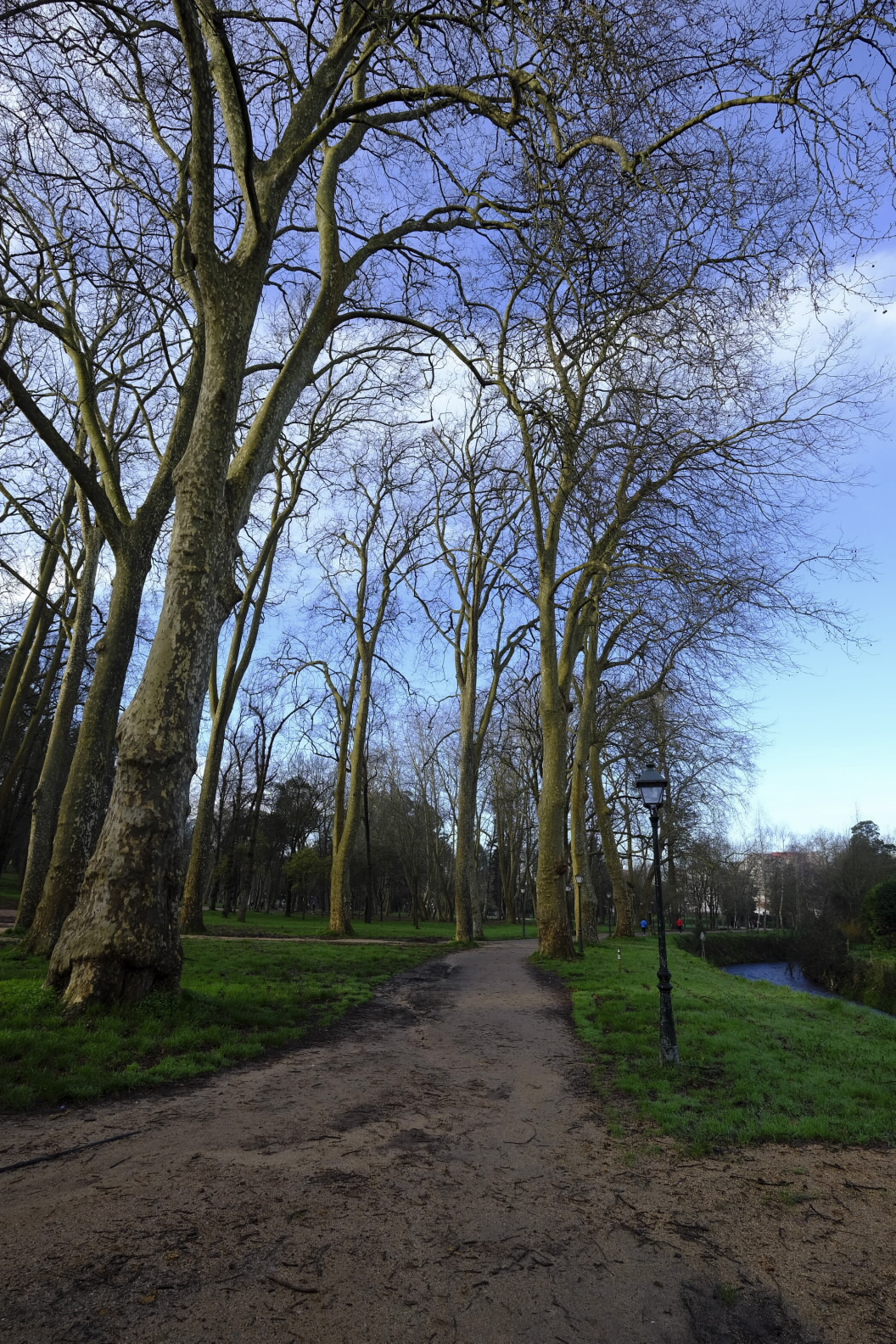
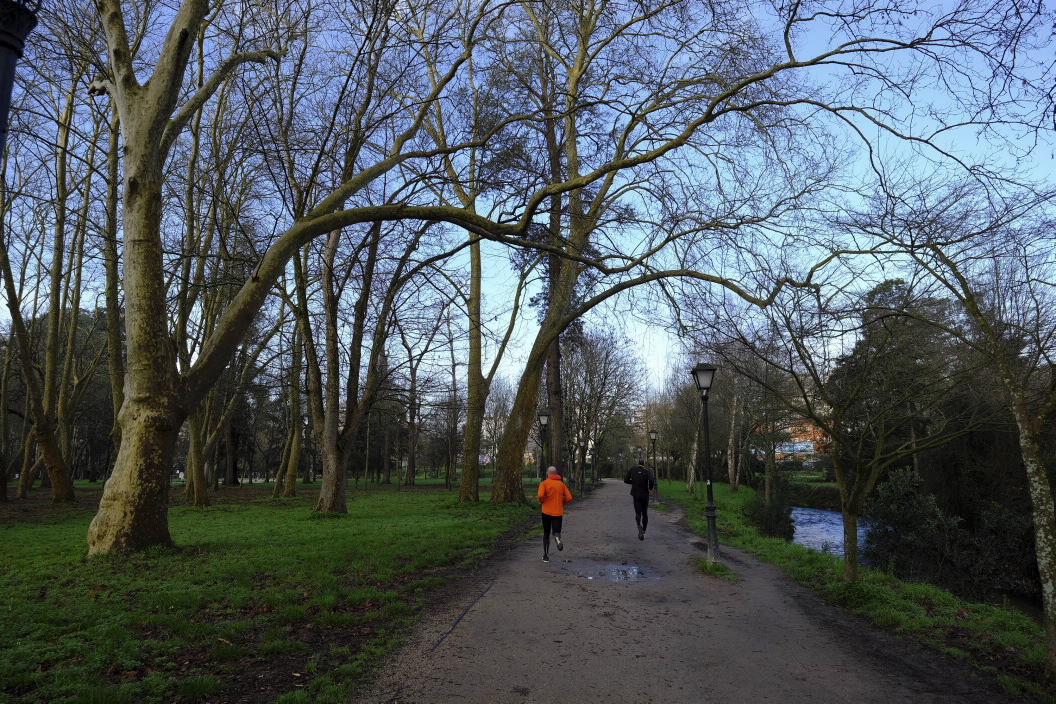
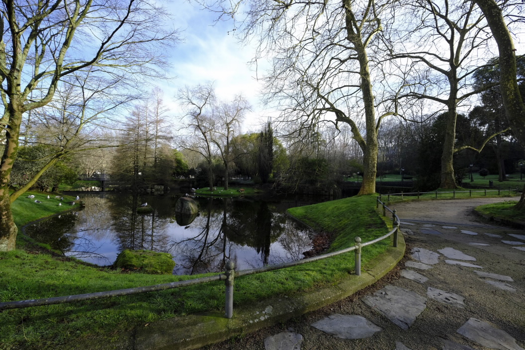
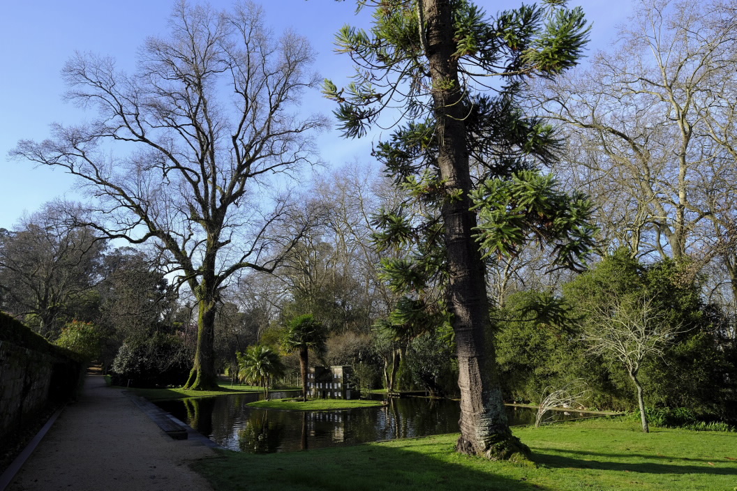
We cross the Lagares River to continue along a path which, despite passing close to some buildings due to the fact that we are in the centre of the city, has not lost its rural character. After a walk of just over 2 km we will arrive at parque de Castrelos, the largest park in the city and an ideal place to play sports or spend the day with the little ones in the children’s playground.
This is the end of this walk, but first we recommend a visit to the Pazo de Castrelos, located in the upper part of the park, which houses the Municipal Museum of Vigo. It is also known as the Quiñones de León Museum because it was Fernando Quiñones de León, marquis of Alcedo, who donated it to the city in 1924 and ordered that it should be used as a museum. Next to the building, forming an inseparable ensemble, are the gardens, where we can enjoy a large number of exotic and ornamental plant species, some of them centuries old, and several specimens of trees included in the Catalogue of Singular Trees of Galicia.
Characteristics
Length: 2 km (one way)
starting point:
Medieval bridge of Sárdoma 42°13'09.2"N / 8°42'57.4"W
End Point : Parque de Castrelos 42°12'45.8"N / 8°43'55.5"W
Type
Urban walks
Initial pickup date: 01/01/2021
