Turismo de Galicia

-
Things to do
Way of St. James
Nature
Culture and heritage
Beaches and coast
Tourist trails
- Top ten: Ten unrivalled destinations
- The route of the camellia
- Tourist routes
- Pathways for discovering a country
- Walks to fall in love with
- Scenery at the wheel
- EuroVelo Galicia
- Beyond the Sunset
Gastronomy
Health tourism
PROMOTIONS TO ENJOY NOW
Cultural agenda
Will happen... View all
- Places to visit
-
Plan your trip
Build your journey
Practical information


-
A miña viaxe
A MIÑA VIAXE
- Compartir
- Correo
- Imprimir

Description
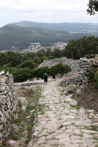
You can choose from several combinations; it is possible to start the journey in A Guarda from the neighbourhood of A Cruzada, either from the parish of Camposancos or from the highest point on the mountain that houses the Visitors’ Centre and other services for hikers.
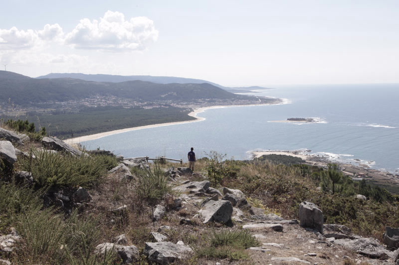
This set of pathways provides us with a geographical area of exceptional beauty, with endless views over the River Miño, its mouth and the Atlantic Ocean – it is a unique viewpoint.
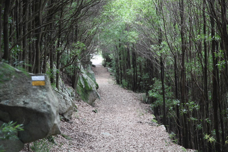
Each pathway maintains its own identity and proposes routes to visit places like the Santa Trega Hill Fort, the Ares Viewpoint, A Pedra Furada and A Cruz do Home, among others.
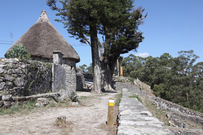
The series of services located on Santa Trega, with a car park and catering, among others, are the perfect combination to plan a whole day of enjoyment in outstanding surroundings.
Access
The Ways of St. James
A plus
Santa Trega Hill Fort
Monte Santa Trega Hill Fort. At a height of
326 metres and almost at the summit of the
mountain, this settlement dating from the 1st
century BC is an example of the strategic type
with its defenses in the mouth of the River Miño
and the proximity of crop fields and pasture for
livestock.
It was declared a National Historical and Artistic
Monument in 1931 and only a small part of the
site has been excavated.
It is one of the most advanced hill forts in
the peninsula and even has a restored house.
Highlights include the composition and zoning
of the streets and its water channelling system.
The houses are grouped into districts of eight
houses with a fortification around the whole.
Circular constructions predominate, in many
cases with an entrance hall, but there are also
oval and square constructions.
There is also a small museum which exhibits
pieces from the excavation.
Longitude
Point of Departure / Arrival
Route
Difficulty
Duration
Services
M.I.D.E.
Bicycle access
Horse access
cartography I.G.N. (1:25:000)
Further information
Tel.: 986 610 000
alcaldia@aguarda.es
www.aguarda.es
Federación Galega de Montañismo
Tel.: 986 208 758 / Fax: 986 207 407
sendeirismofgm@yahoo.es
www.fgmontanismo.com
Segatur (Sendeiros de Galicia para o Turismo Rural S.L.)
Tel. 654 165 730 / 886 117 011
info@segatur.com
www.segatur.com
Kind of route
Interest
Map


