


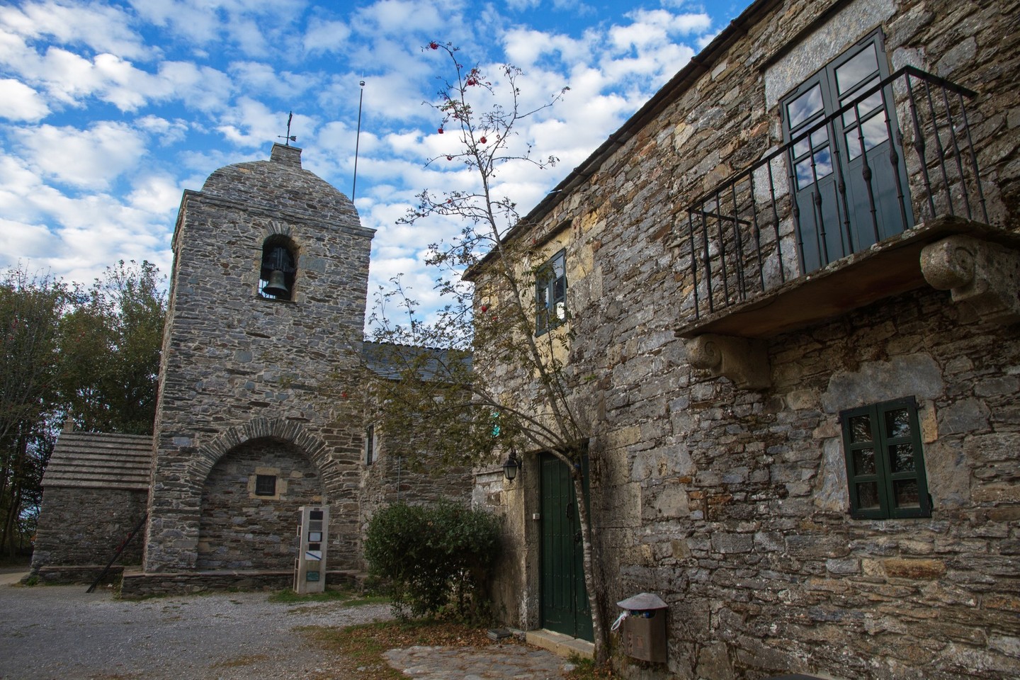
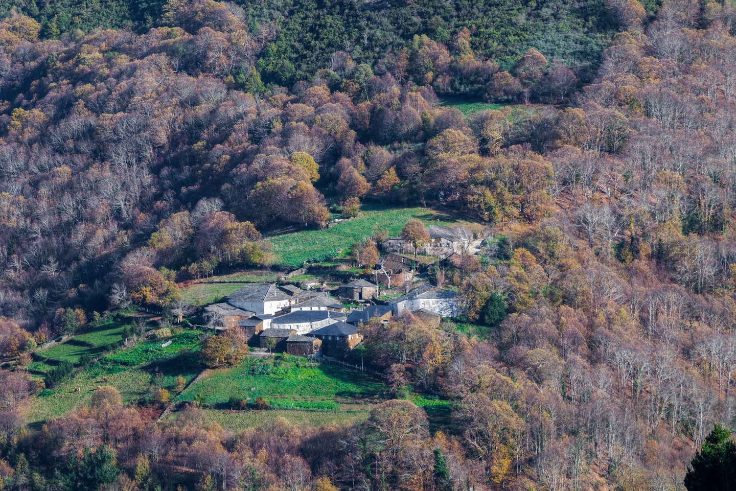
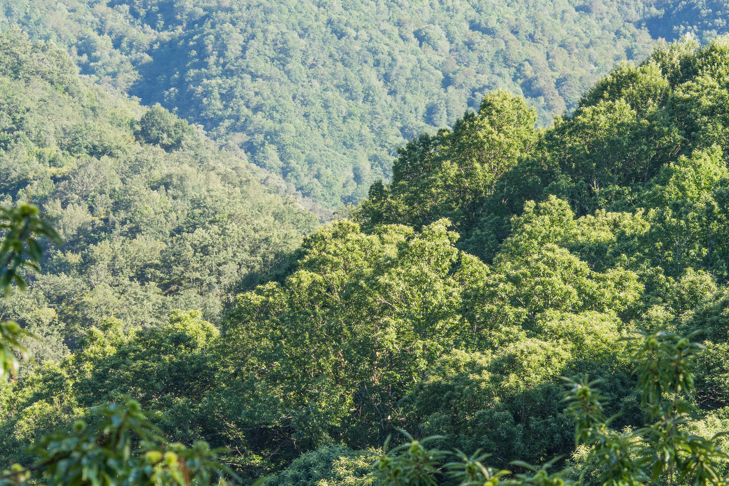
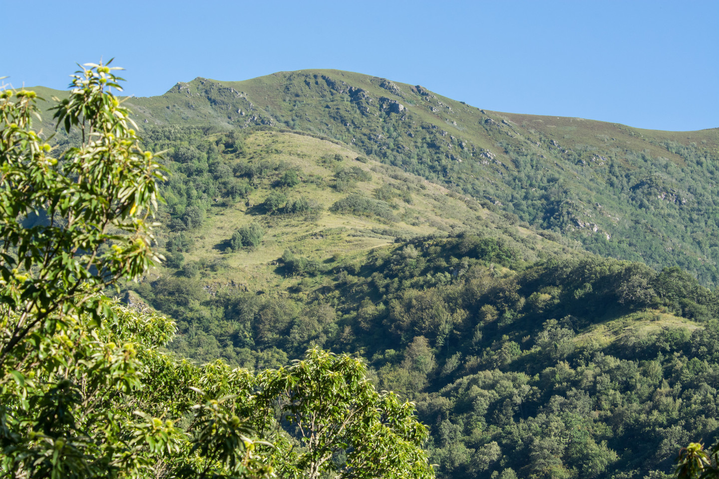
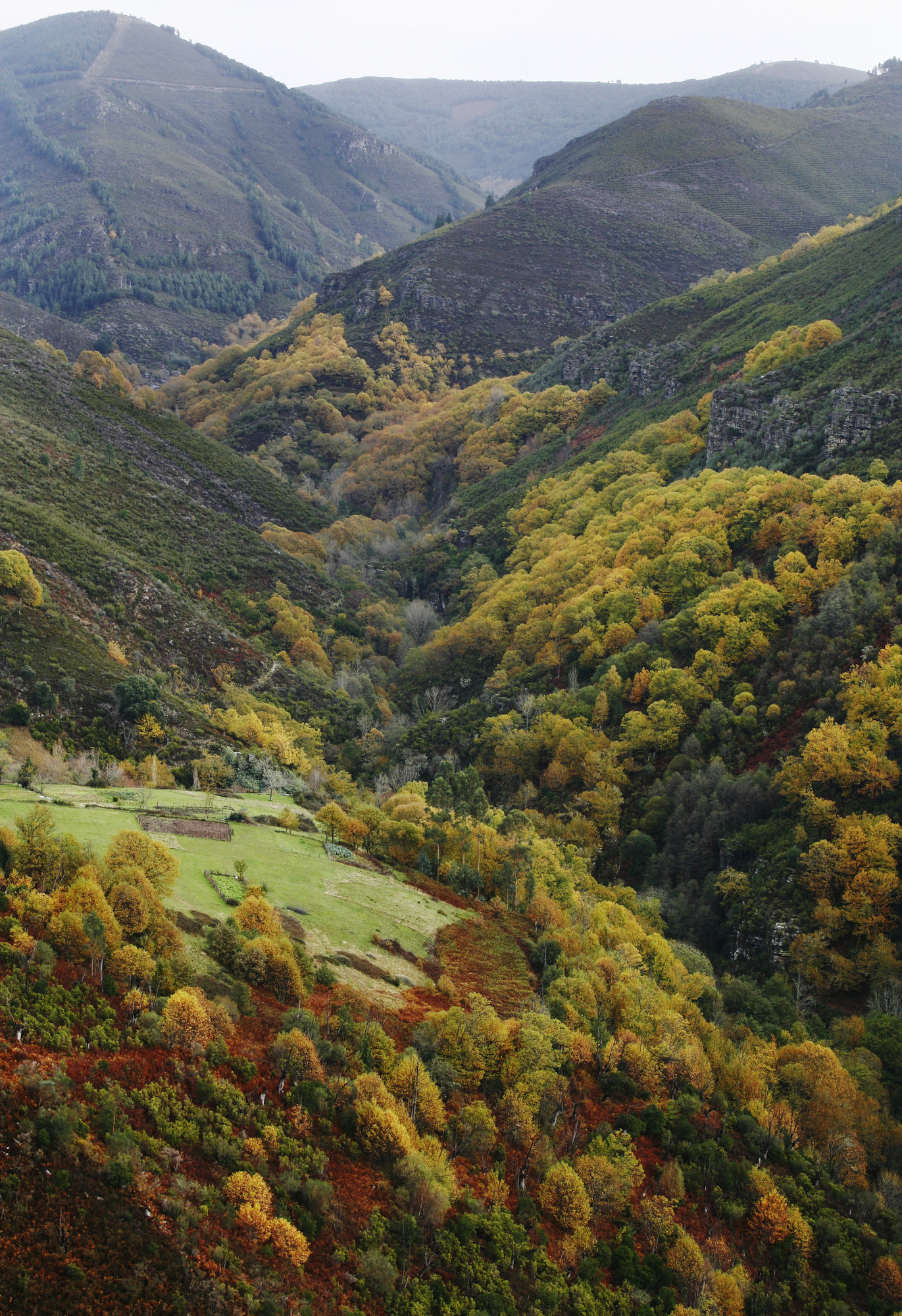
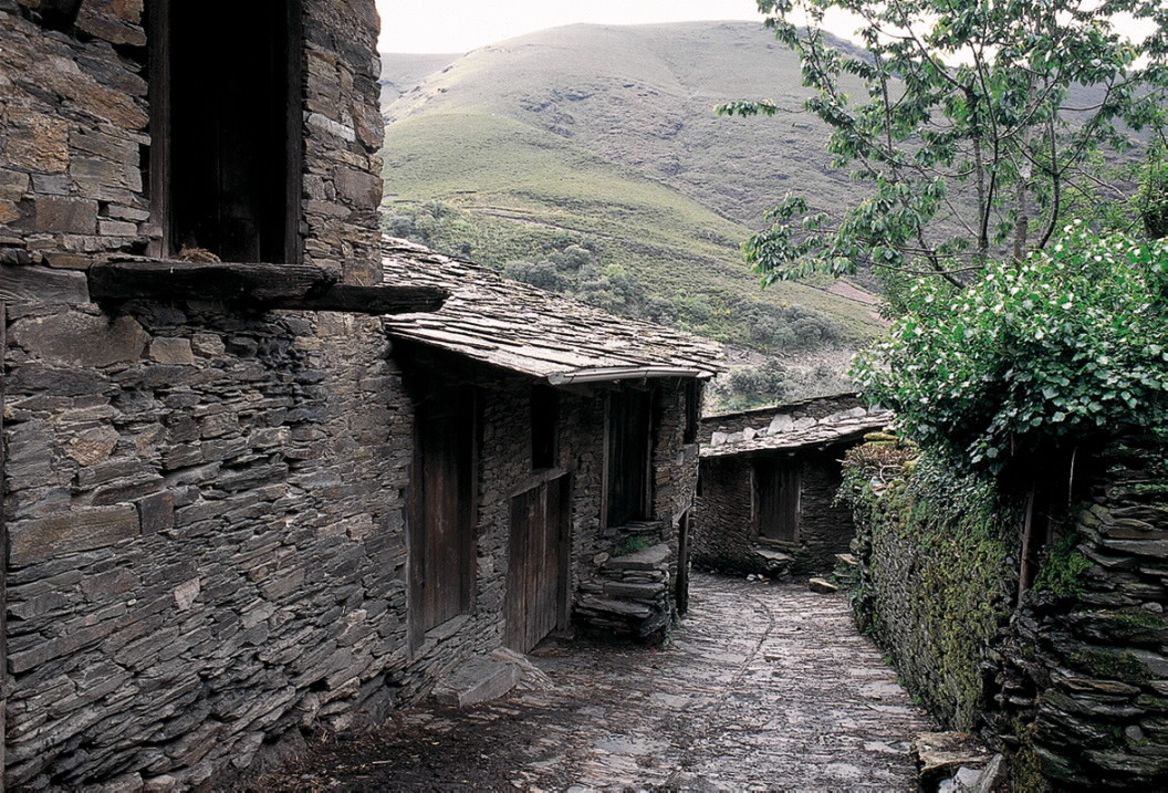
The Sierra de O Courel, crossed by the river Lor, is a natural paradise of immense beauty, uniquely captured by the poet Uxio Novoneyra in his writings. Its highest peaks are Formigueiros, Montouto, and Pía Paxaro, making it an ideal destination for hiking and enjoying nature in its wildest and most vibrant form.
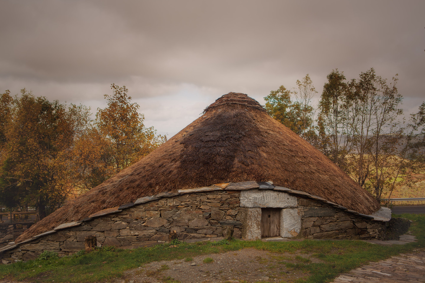
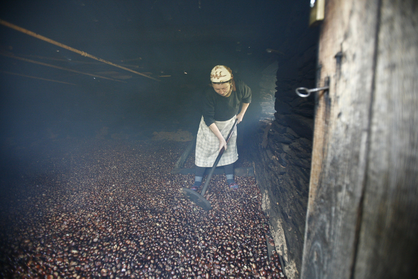
The rich and abundant vegetation of the area is covered with heather and oaks, and forests of holm oaks and other native trees are found in the more elevated areas. The valleys are surrounded by chestnut forests. O Courel boasts meadows like the Rogueira, one of Galicia's most beautiful and botanically rich areas.
