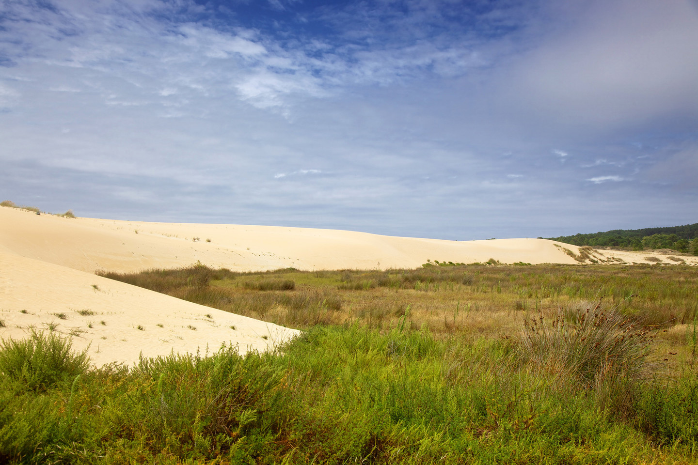
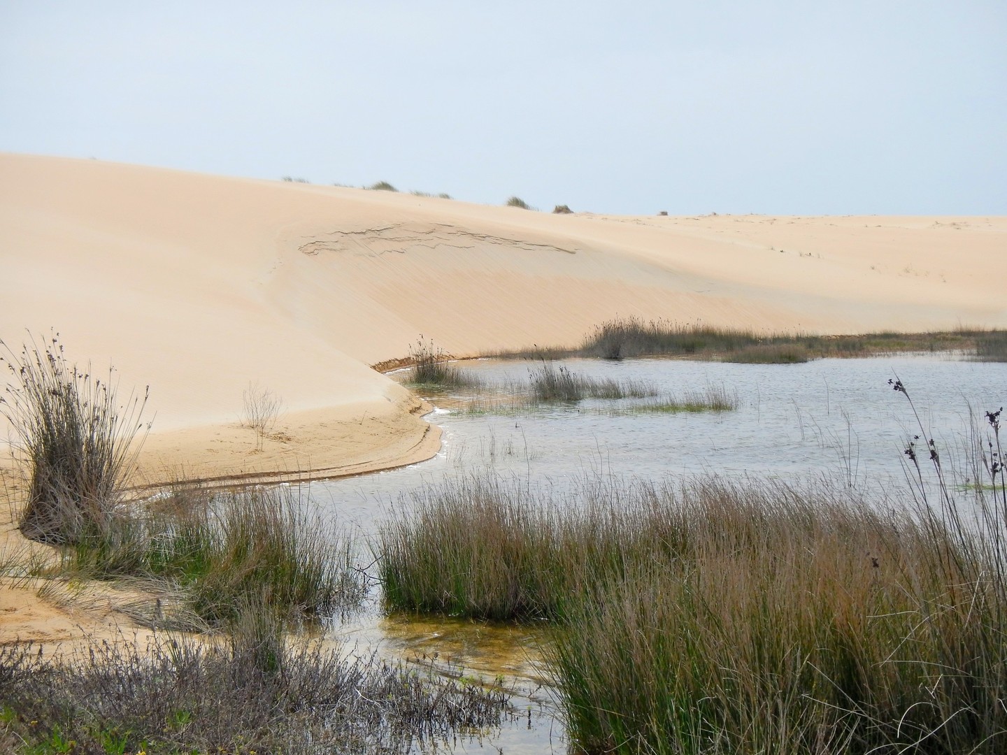
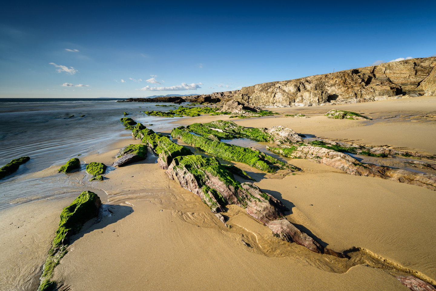
The large shifting dune is the attraction. More than one kilometre long, 250 metres wide and 20 metres high, the Corrubedo shifting dune stands out from a distance, white as a queen of  sand, in this nature park, which is the most visited in Galicia, welcoming nearly 300,000 people a year. 

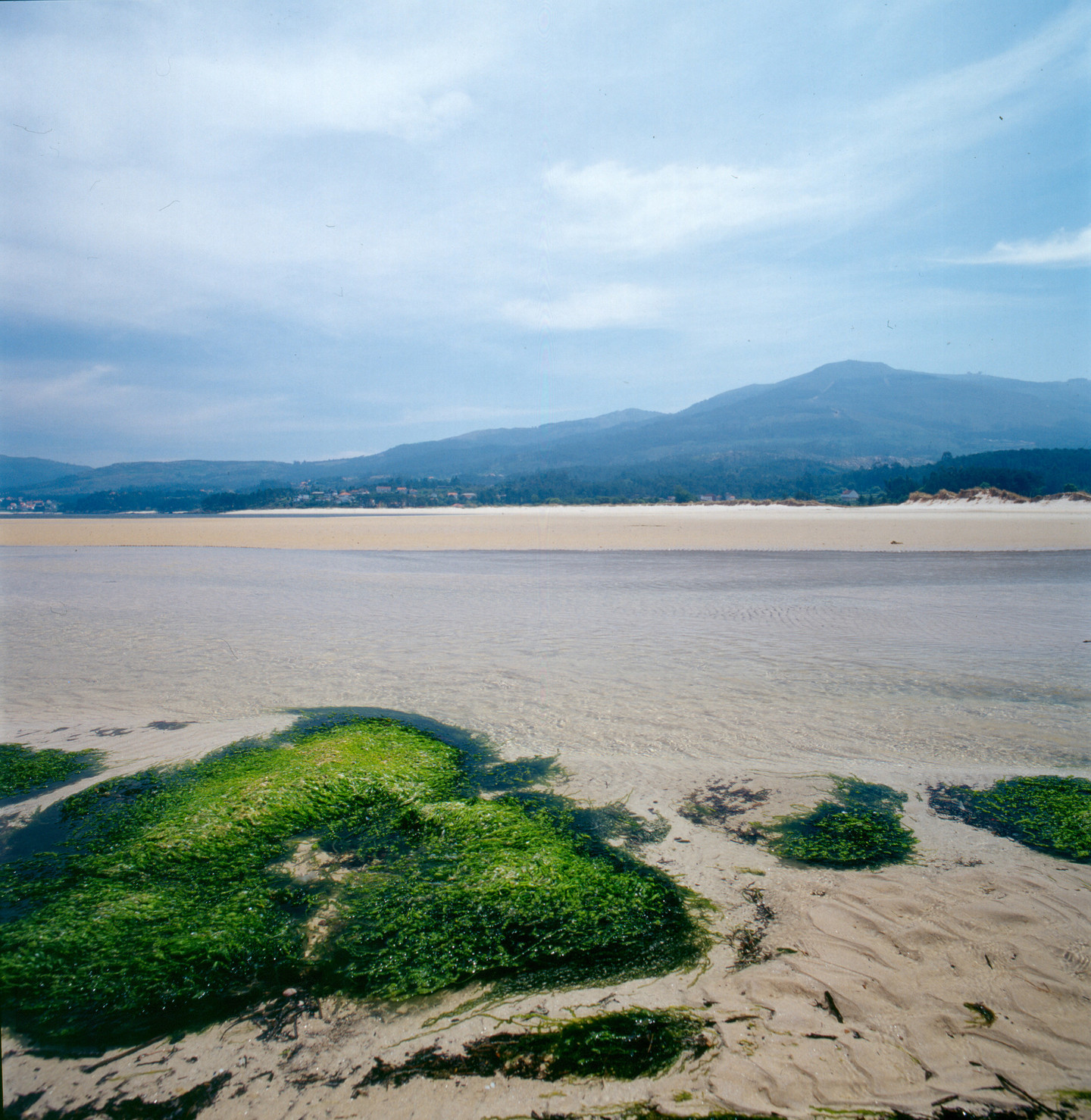
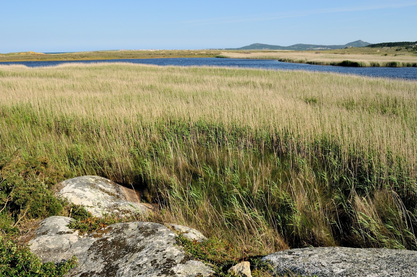
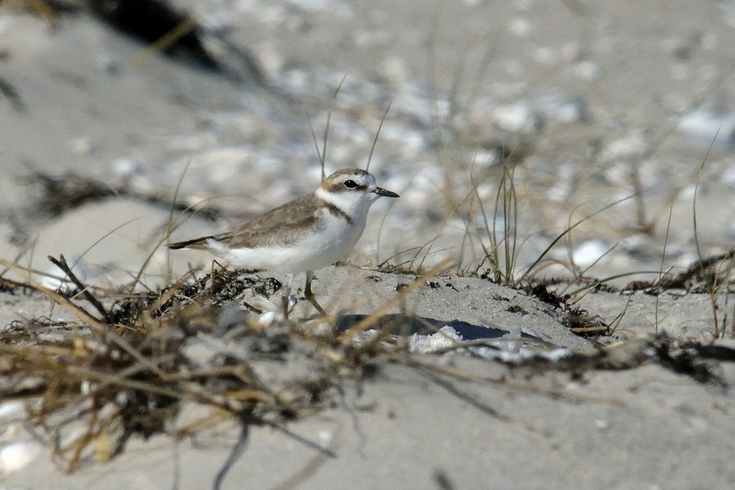
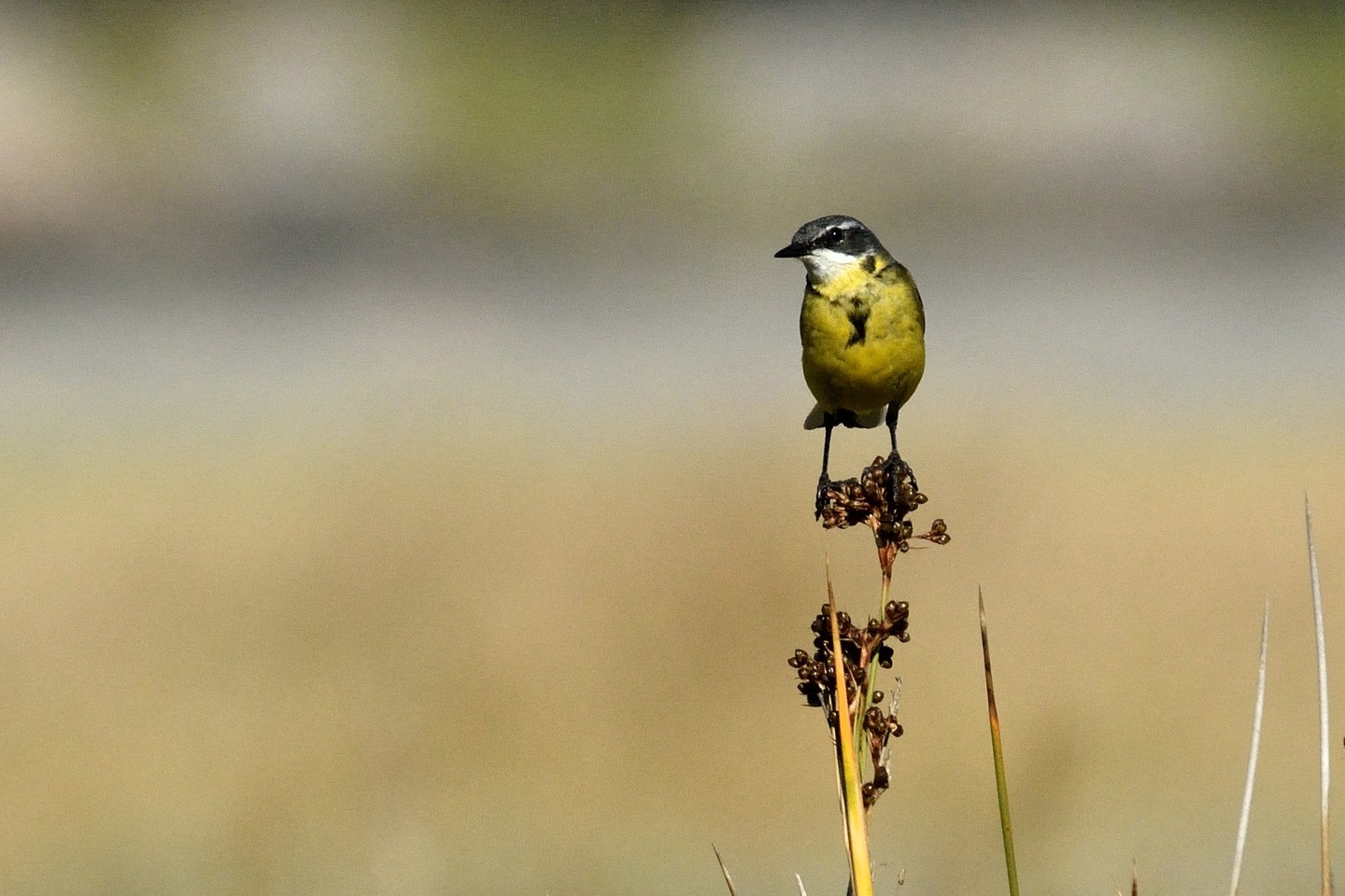
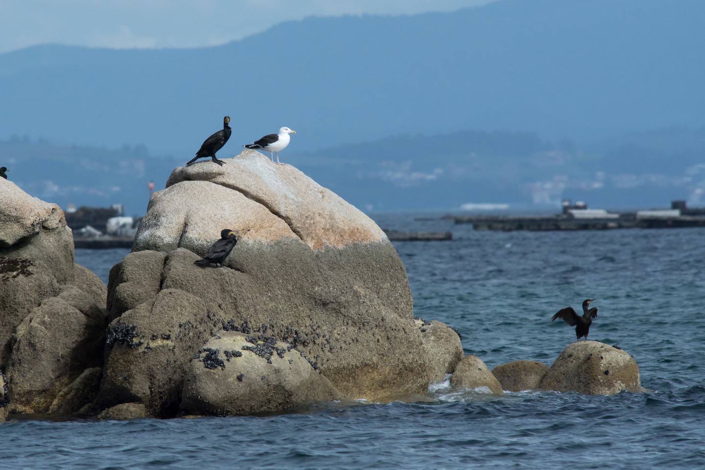
Situated between the estuaries of Arousa and Muros e Noia, the park covers about 1,000 hectares. It consists of the dunes, Corrubedo beach and the lagoons of Vixán – of fresh water – and those of Carregal, of salt water. Among rushes and reeds, both are home to the 3,000 waterfowl that live here: teals, curlews, spoonbilled ducks, sandpipers and plovers. A world of feathers and squawks to which is added the laughter and races of the playful otters.

Result of the wind

Corrubedo is the home of the largest dune in Galicia.

The moving dune in this open space between the Ría Arousa and that of Muros and Noia is impressive in size, more than a kilometre long on its curved advancing front. During the hardest winter months it reaches twenty metres high. It is calculated to be between 200 and 250 metres wide; although it seems that it was larger in the past. Somewhere between legend and exaggeration, it was documented that at the end of the 19th century the dune was more than 60 metres high. To windward, facing the sea, it is long and low lying, like the back of an animal. It drops to leeward, towards the ground, and with no vegetation to hold it back advances across the plain at a speed of two to three centimetres a year.

The omnipresence of the queen of the Park should not make us forget the other Park’s attractions: two lagoons, one of salt water and the other of fresh water, with extensive mud flats connected to them and internationally important wetlands.

Vixán, the fresh water lagoon, is fed by the waters of the modest Muíño stream, subject to seasonal fluctuations in water volume. Carregal, the salt water lagoon, is connected to the ocean, dividing in two the long beach facing the rocks called Pedras da Ferreira. The rise and fall of the tides is via this channel, one of the central points of the Corrubedo complex. The rich ecological life of the Park is reaffirmed in the mud flats which are teeming with life, and all this in little more than one thousand hectares.

Not to be Missed

This is one of the most visited Natural Parks in Spain.

There is a network of paths and footbridges to avoid invading the dune area and to show visitors the area as completely as possible while showing respect for the natural environment. The starting point is the Casa da Costa or Visitors’ Reception Centre located in O Vilar. There is also another building housing the Galicia Coastal Ecosystems Interpretation Centre (CIELGA) and set out as an informative museum dealing with natural, geological and historical matters for which the Park is justly known. The layout of the self-guided tours (water route, sea route and wind route) allows most of these aspects to be approached. Don’t leave your binoculars at home.

Located in this protected area is the lookout point of Castrocidá, from which good views of this whole stretch of coast can be had. It is highly recommended to visit the megalithic dolmen of Axeitos, closely linked to the Park, and the Galician-Roman hill-fort of Baroña, at the extreme edge of the coastal border which stretches to the mouth of the Ría de Muros and Noia.

On this journey via the AC-550 road, we will find directions to two other protected lagoons, that of Xuño and Muro, close to the famous beach of As Furnas which was immortalized by Amenábar in his film Mar adentro [The Sea Inside].


Outstanding Nature

The area boasts a good natural representation of the coastal ecosystems.

Plants specific to dunes complexes along with an interesting collection of flowering plants. Likewise, reeds and rushes typical of the mudflats. A botanical paradise for specialists interested in rare and unusual plants.

The same occurs with the fauna: various habitats with many possibilities, including outstanding bird communities associated with fresh or salt water environments: anatidae, sandpipers, sea birds and others.


Other information of interest

  • Location
    The Natural Park is located in the municipality of Ribeira (A Coruña). The SCI also includes the island of Sálvora (Ribeira) and extends along the coast of the municipality of Porto do Son.
  • Area
    996.25 hectares. SCI: 9,265 hectares.
  • Access
    From the south, by the O Barbanza highway from Padrón. Also via the AC-550 road on the Noia-Santa Uxía of Ribeira stretch, with turnoffs towards the coast. Two direct accesses to the Park, with Parking zones, one to the moving dune in Olveira and another to the Reception Centre in O Vilar.
  • Services
    • Accommodation: Places nearby
    • Food: Yes.
  • Facilities
    • Visitors’ Reception Centre Casa da Costa (Tel. 881 867 645).
    • Centre for the Interpretation of the Galician Coastal Eco-System (CIELGA).
    • Cafeteria-restaurant and recreation area of O Vilar.
    • Parking in Olveira, O Vilar, Playa de A Ladeira and Vixán.
    • Bird-watching stations.
    • Information panels.
Arriba
Help us improve!