


1. KML Definition
KML is an English acronym for Keyhole Markup Language. It is a language based on XML for representing geographical data in three dimensions.
KML is an English acronym for Keyhole Markup Language. It is a language based on XML for representing geographical data in three dimensions.
Developed to be used with Keyhole LT, a precursor to Google Earth, KML information can be compressed in KMZ files; each file contains a basic description of the place, co-ordinates and some other information.
Though at first KML was created to be viewed in Google Earth, today there are already several programs and Web applications that allow KML to be displayed. Among these we may mention: Google Maps, Bing Maps.
And there are also programs that allow conversion of KML to another format, for example:
GPSBabel www.gpsbabel.org
OziExplorer http://www.oziexplorer.com/
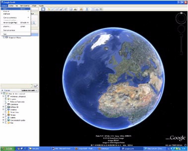
Google Earth is a software program which is similar to a Geographic Information System (GIS) which displays 3D images of the planet; it combines satellite imagery, maps and the Google search engine.
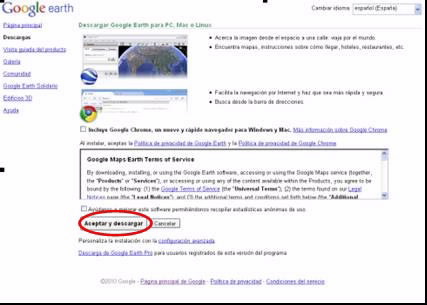
Downloading Google Earth is free and can be done on the website: http://earth.google.es/intl/es_es/download-earth.html
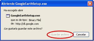
Installation is very easy - you must download the executable program from the website and it will install Google Earth automatically.
The incorporation of KML files into Google Earth can by done in several ways:
One of the fastest methods is to directly incorporate the KML files into Google Earth during download. To do so, when downloading the KML files, instead of saving them on the PC, they can be opened directly with Google Earth.
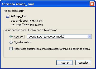
Keep in mind that in this process the files are not saved on the computer; to save them in the program, right-click on KML and select the save file as option.
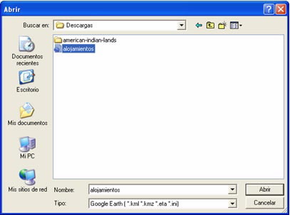
Another method is to open them from the program itself.
To do so, save the KML files in a locatable spot on the computer. In the application's main menu, select the file tab and open.
Search for the downloaded KML file and open it.
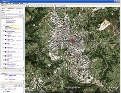
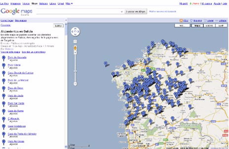
The result will display all selected items. In this case all accommodations in Galicia were selected.

As stated above, Google Earth is a program akin to a geographical information system, allowing:
Viewing of 3D images. The user moves around the map and clicks on the look around option (![]() ).
).

Also, in the bottom left there are a number of layers, which can be used to add to the initial later and increase geographical information. There are different thematic layers (administrative borders, roads, 3D buildings, ...). One of the most popular are places and street view, which are panoramic images of different places.

On the top left there is a direct search called Fly. There you can quickly and directly find any KML place, area, city, name.

Similarly, business can be located in the find businesses tab.
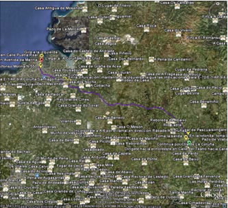
Another of the many options in Google Earth is finding directions to a place; this tab is also located in the upper left. For this search or query you must enter a place of origin and a destination. For example you could do a search from Lugo to A Coruña. The result will be a line indicating the route to follow.
Google Maps is a Google service offering easy-to-use powerful mapping technology, as well as information on local businesses (location, contact information and directions).
The URL address of Google Maps is: http://maps.google.es/.
To incorporate data into Google maps it is necessary to have a gmail account. If you do not have one you can create one at the following address: www.gmail.com
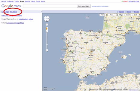
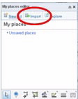
To enter KML into Google Maps select the my maps tab:
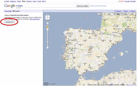
Then select the Sign in tab
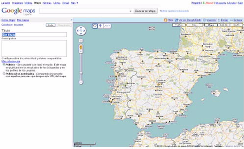
The next step is to enter the gmail username and password. It will return you to the main Google Maps screen where you can then create a new map.
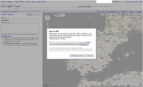
To incorporate the KML file, it must be imported. Click on the Import tab to then look for the file downloaded from the Turgalicia website.
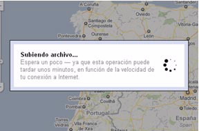
Once the KML file is incorporated you can choose the name and write the description of the new map.
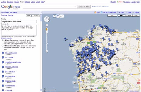
To save the map, click on the Done button, taking the privacy option into account (sharing only with selected people who have the map's URL).
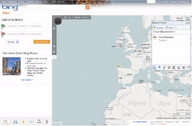
Bing Maps is a web map service for the Microsoft Bing search engine, which functions with Bing Maps for Entrepise.
The URL of Bing Maps is: http://www.bing.com/maps/
To incorporate KML it is necessary to have a hotmail account, which you can sign up for on the website: www.hotmail.com
The first step is to log into your hotmail account, which will require going to the top right of the page where it says log in.
Once signed into the hotmail account, click on the bottom left of the tab on see your places (![]() ).
).
The GPSBabel program allows for the conversion of more than 140 file formats so you can work with them in different programs for editing and processing geographical information and different GPS receiver models.
Maybe some resources are not geo-referenced and they are not being displayed.
