


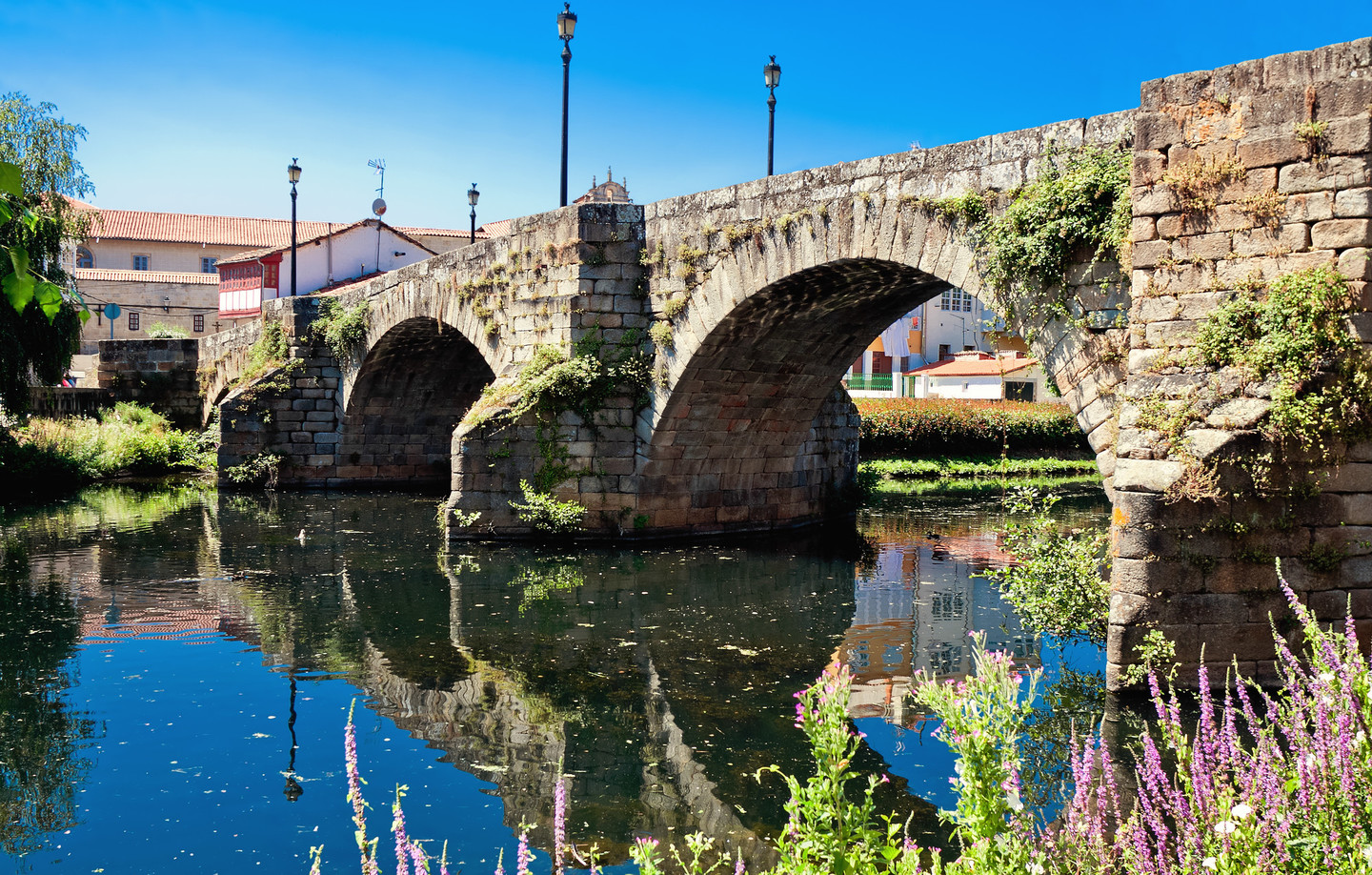
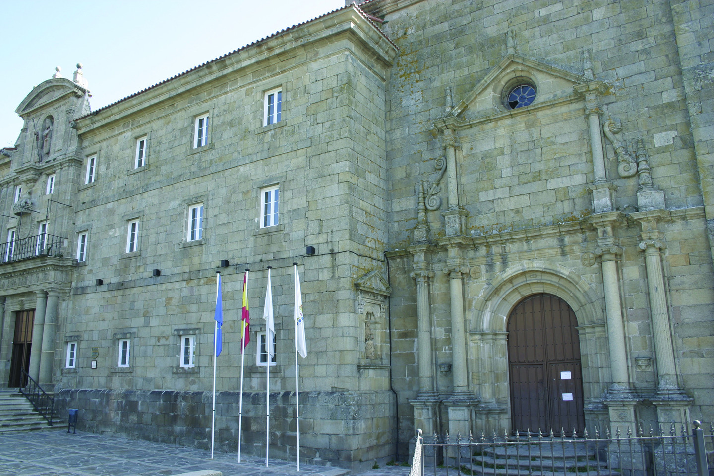
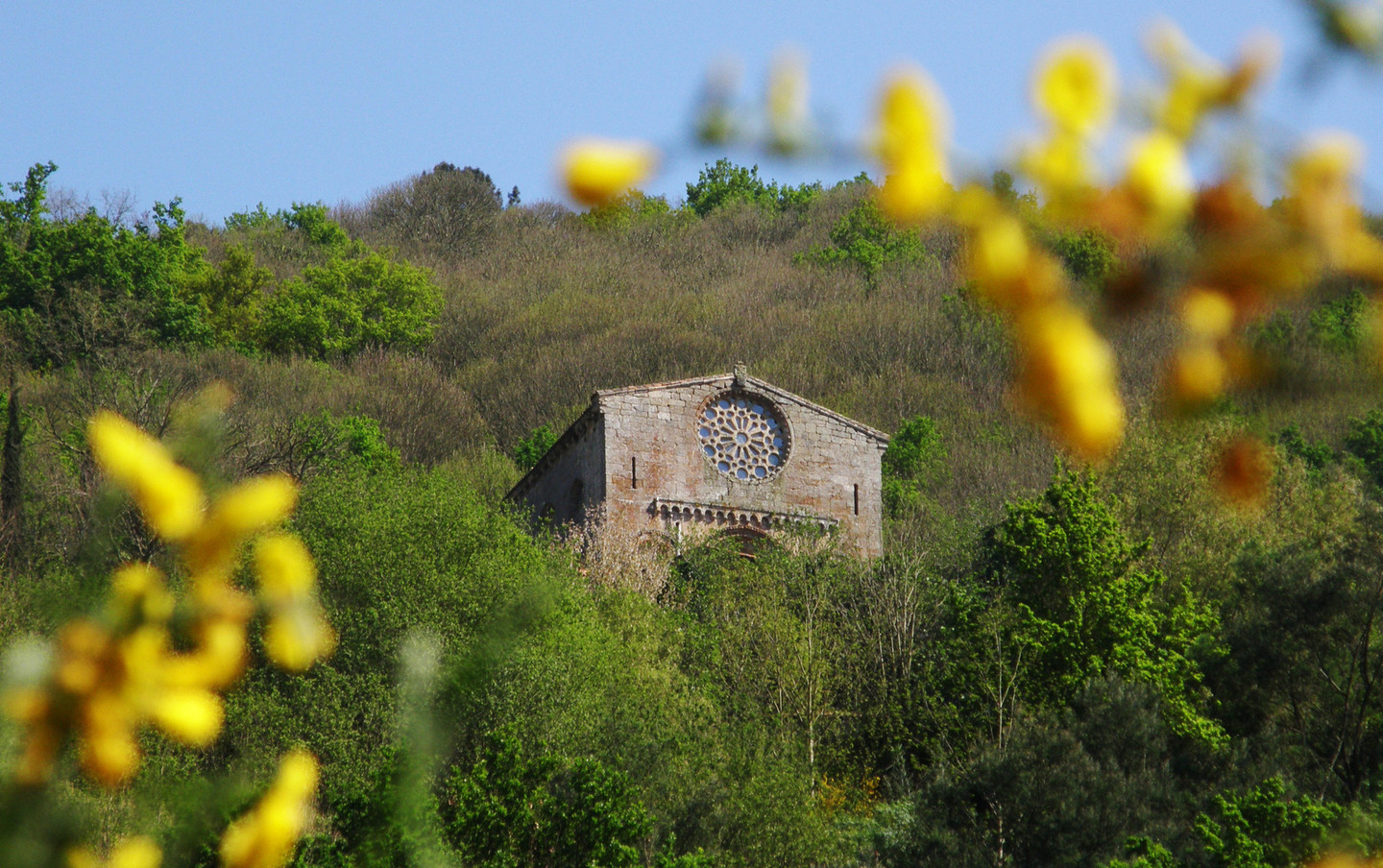
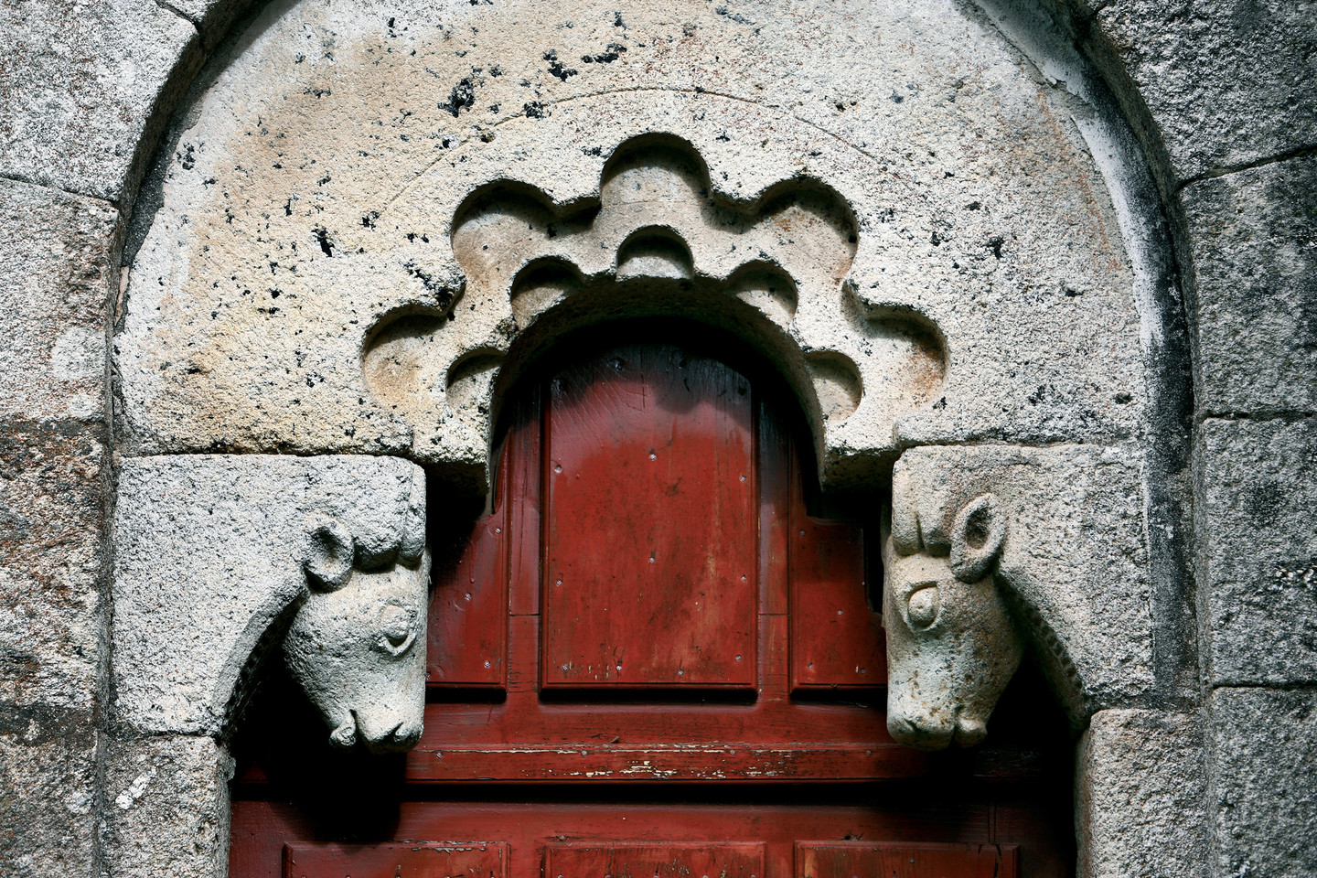
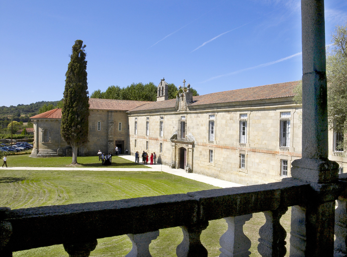
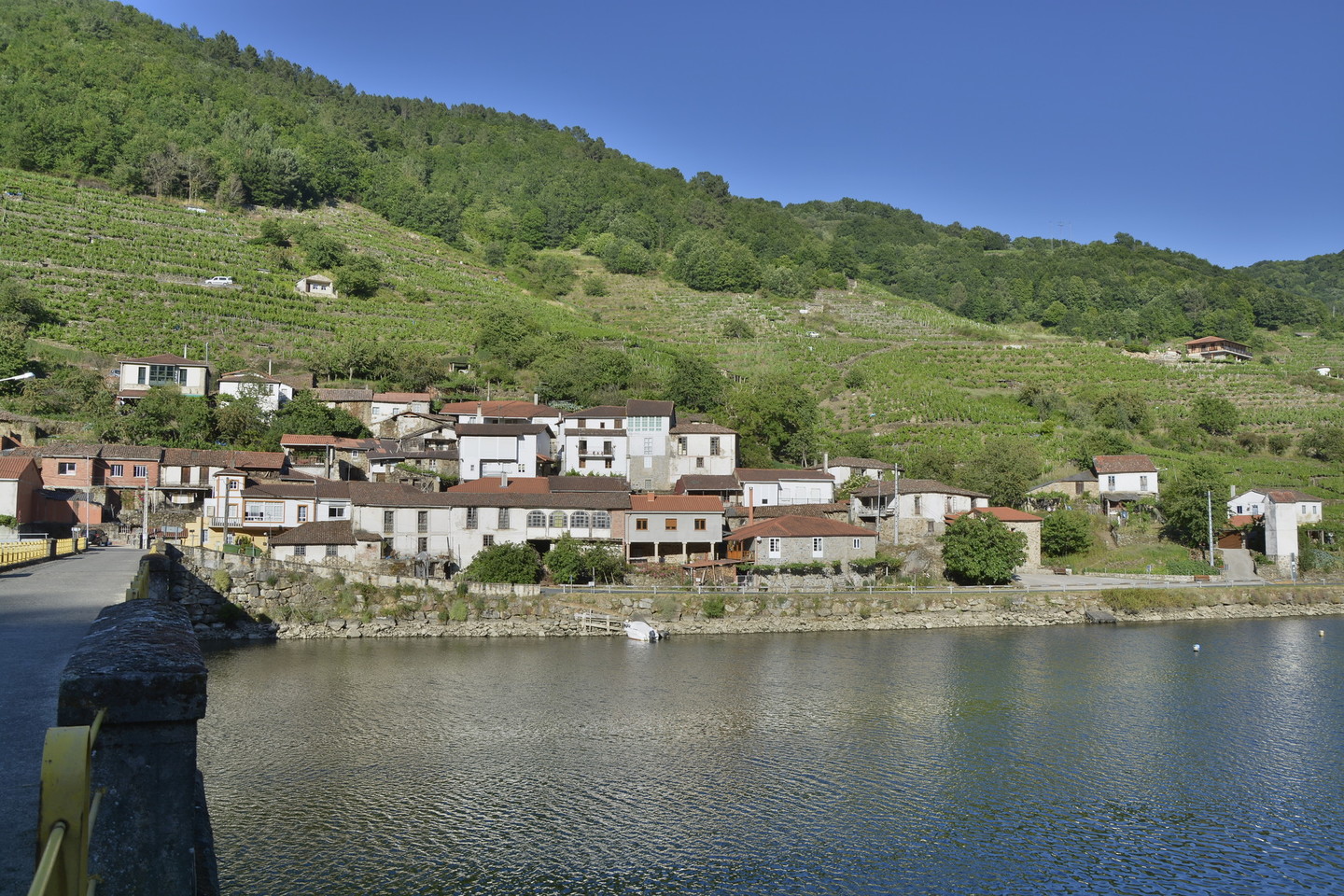
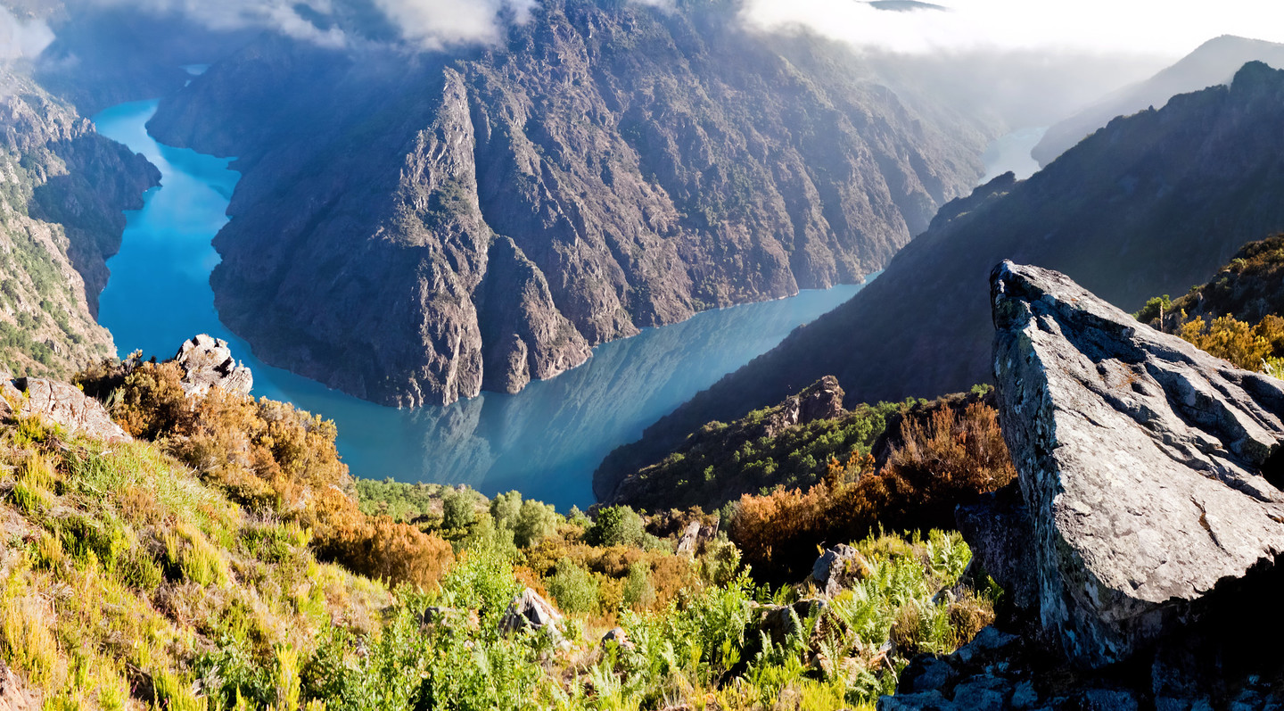
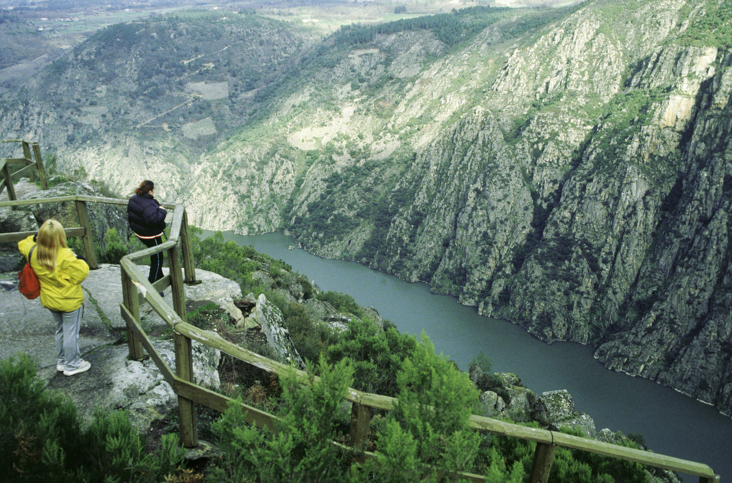
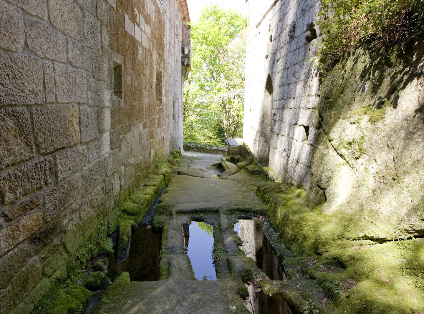
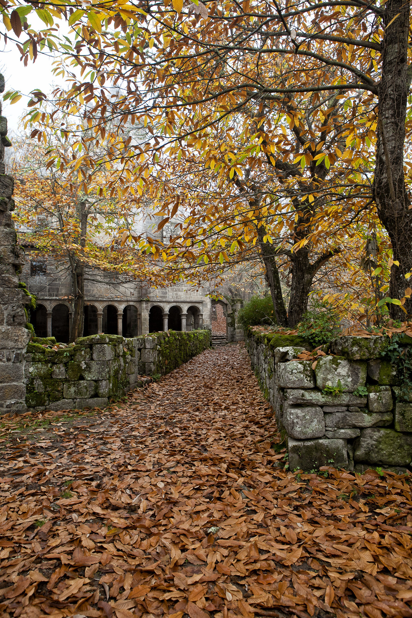
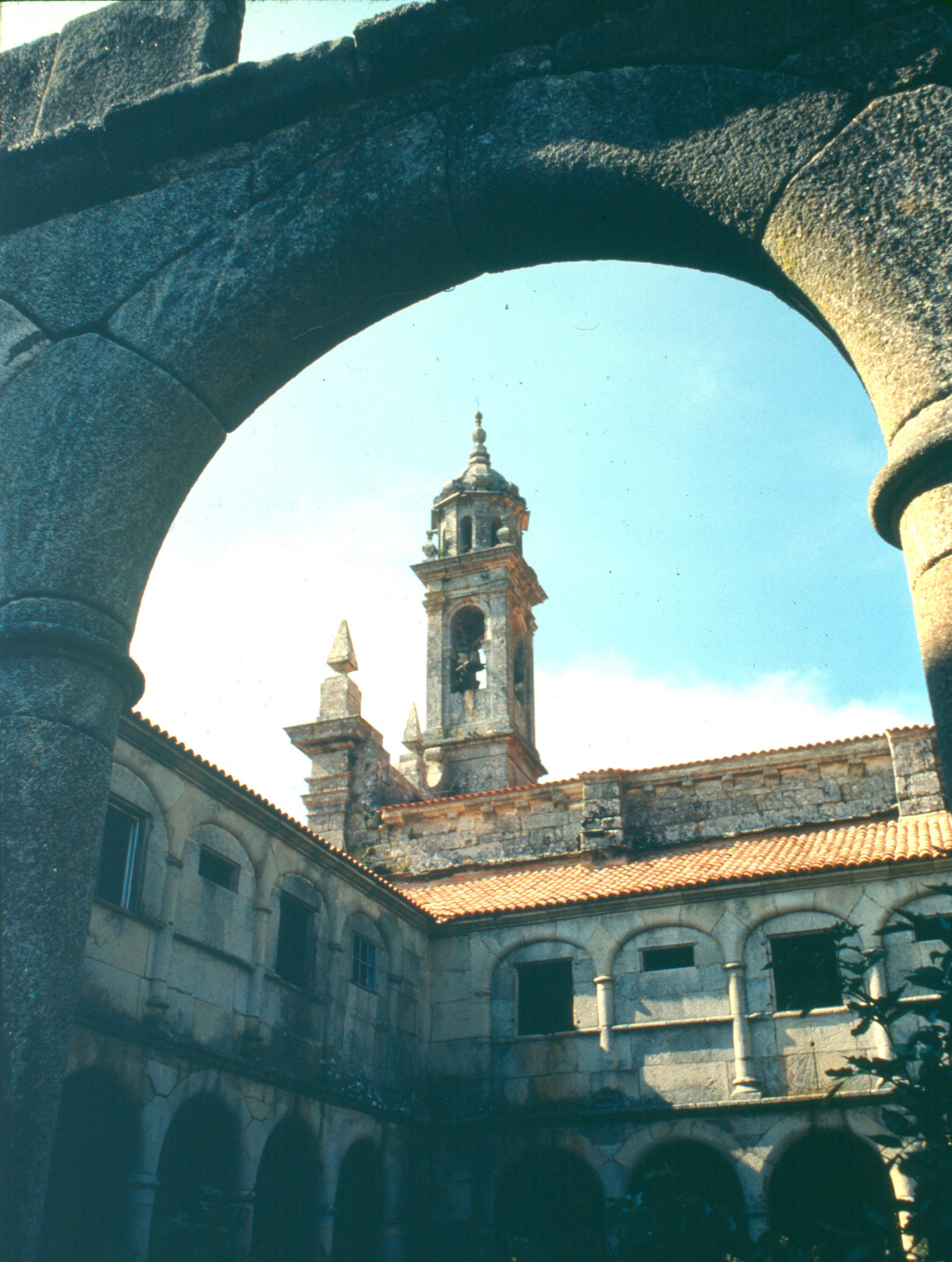
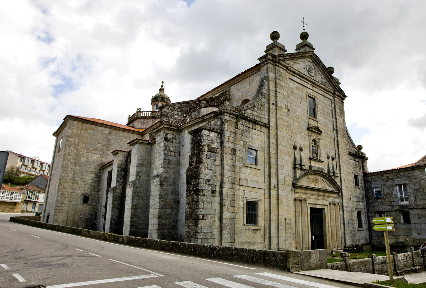
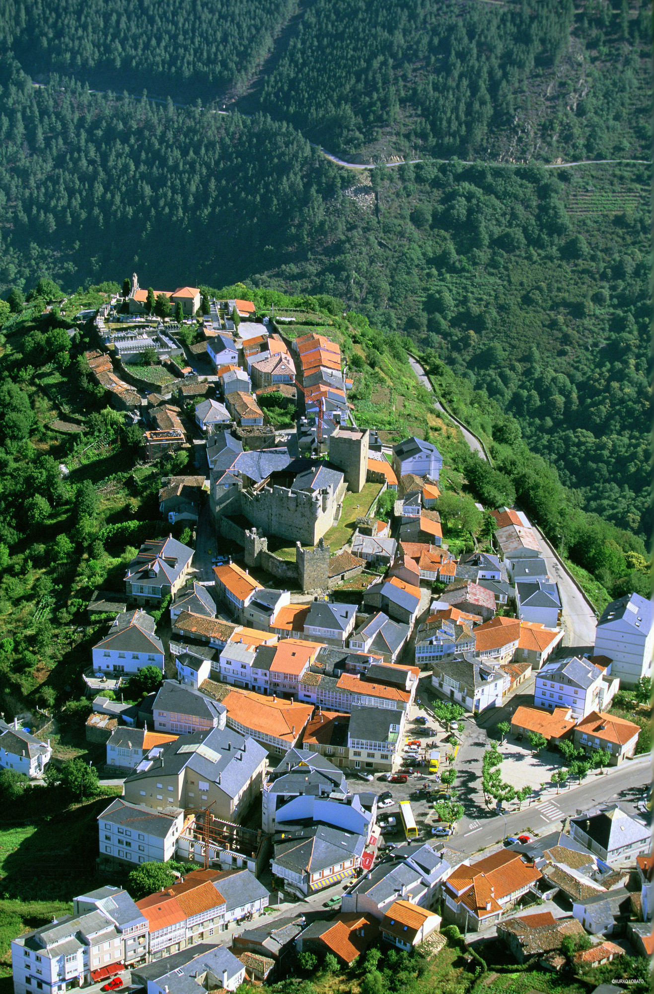
A Ribeira Sacra comprende as terras bañadas polos ríos Sil e Miño na zona do interior de Galicia na que se unen os dous ríos. Nos últimos quilómetros antes de desembocar no Miño, á altura da aldea dos Peares, o Sil flúe na fronteira entre as provincias de Lugo e Ourense ao longo dun profundo canón, creando deste xeito unha paisaxe impresionante e pouco común, sinal de identidade deste territorio.
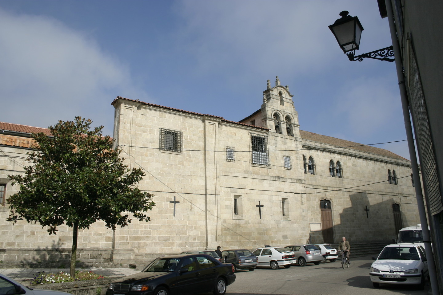
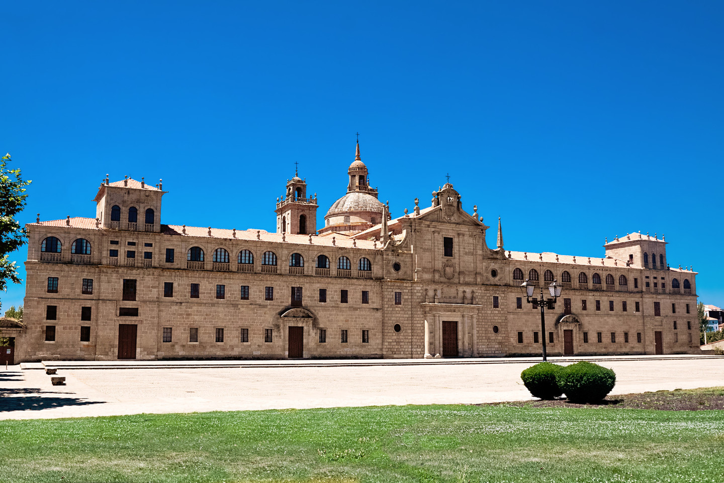
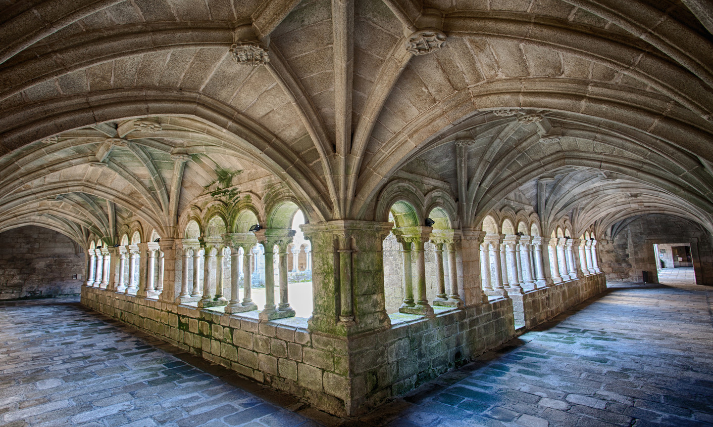
Nestas paraxes, en moitos puntos bucólicas, noutras agrestes, establecéronse nos comezos do cristianismo monxes e eremitas para practicar a vida ascética. Estes asentamentos deron lugar, co paso do tempo, a florecentes mosteiros que irradiaron arte, cultura e progreso material a toda Galicia. De aí o nome Ribeira Sacra, do que existe constancia escrita desde o século XII, aínda que sería unha deturpación de rovoyra sacrata -carballeira sagrada- segundo consta no documento fundacional de Montederramo outorgado en Allariz en 1124.
