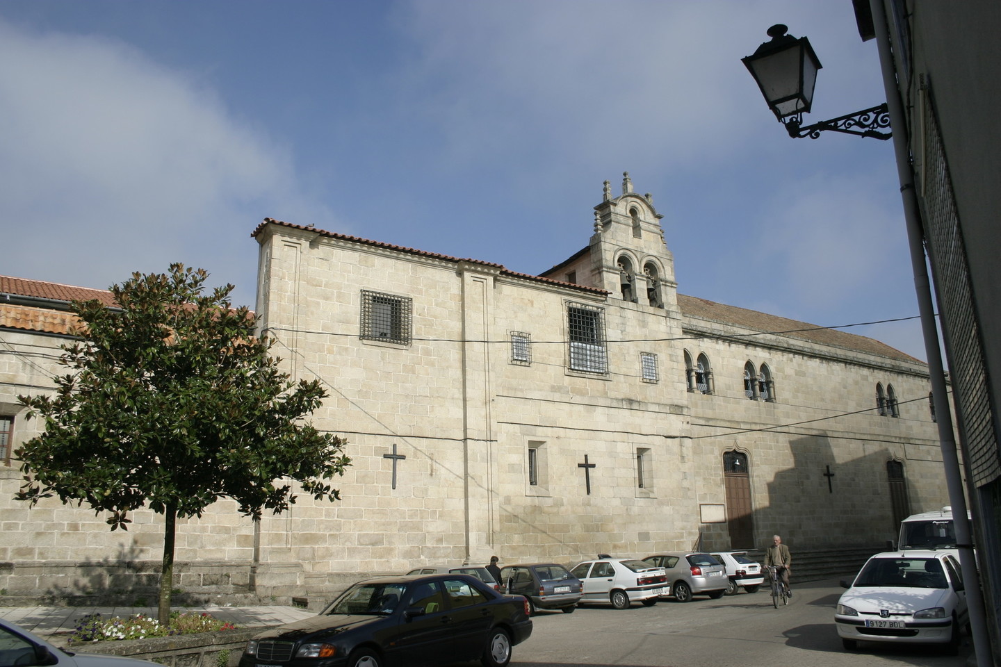
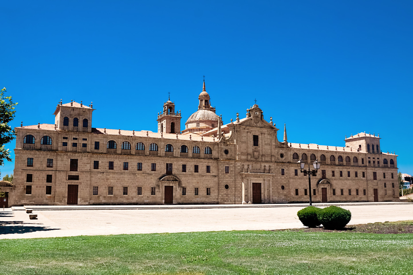
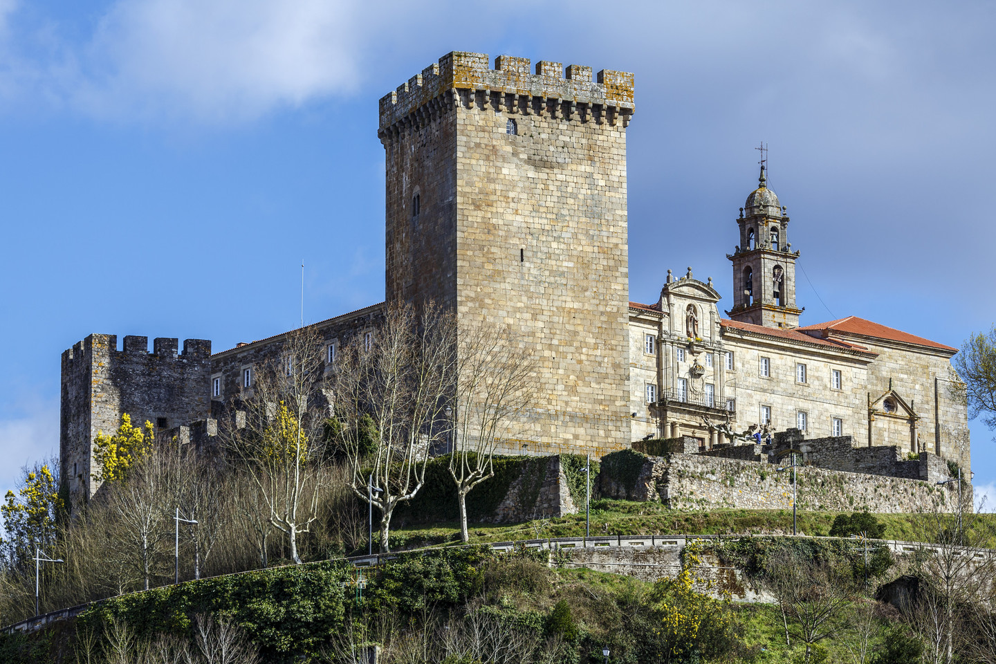
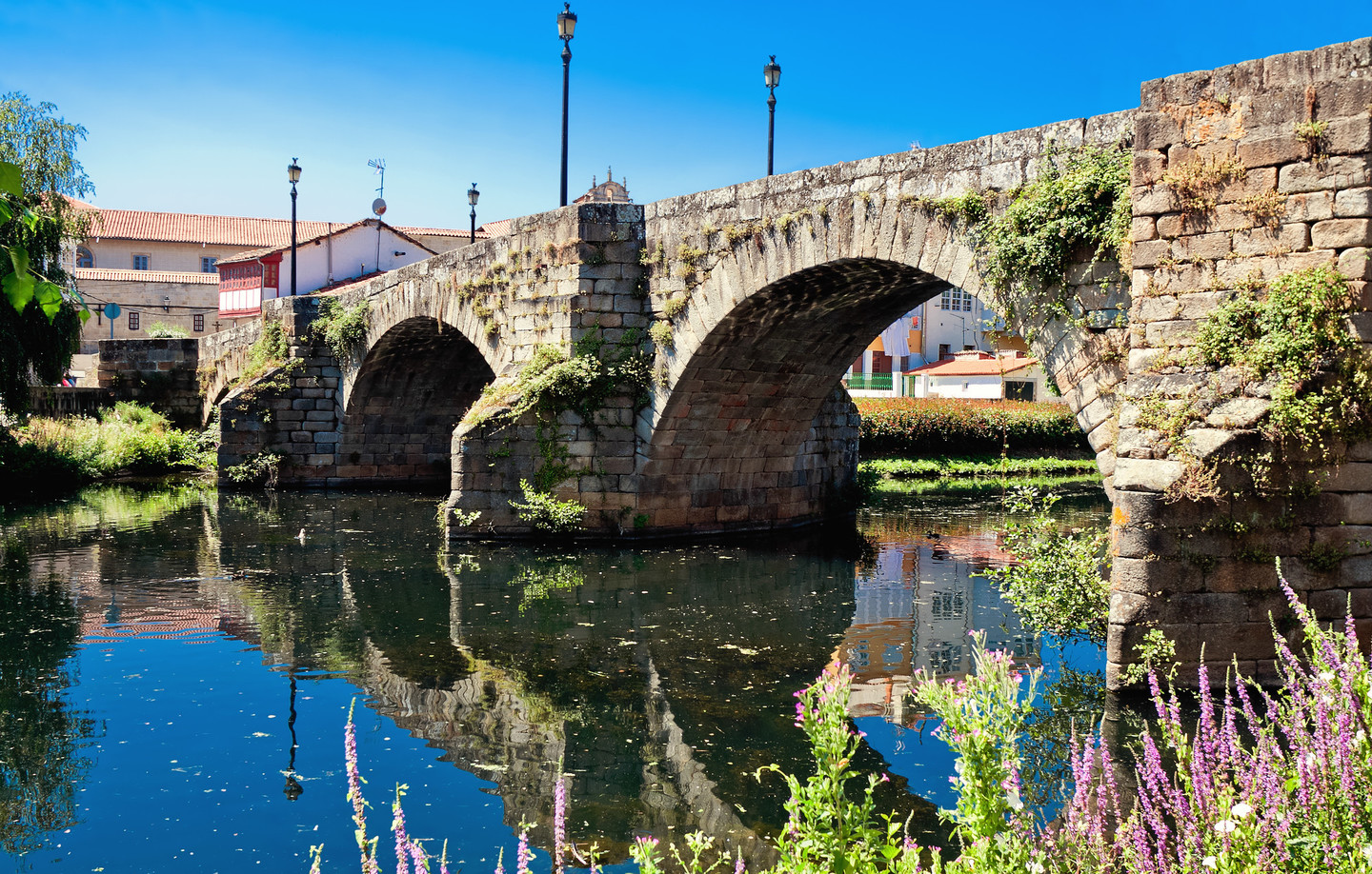
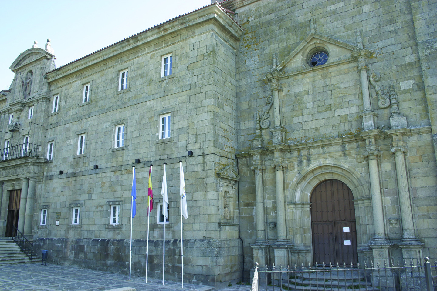
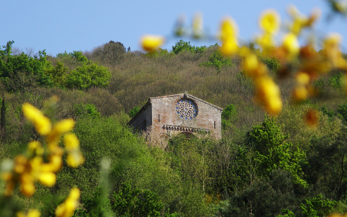
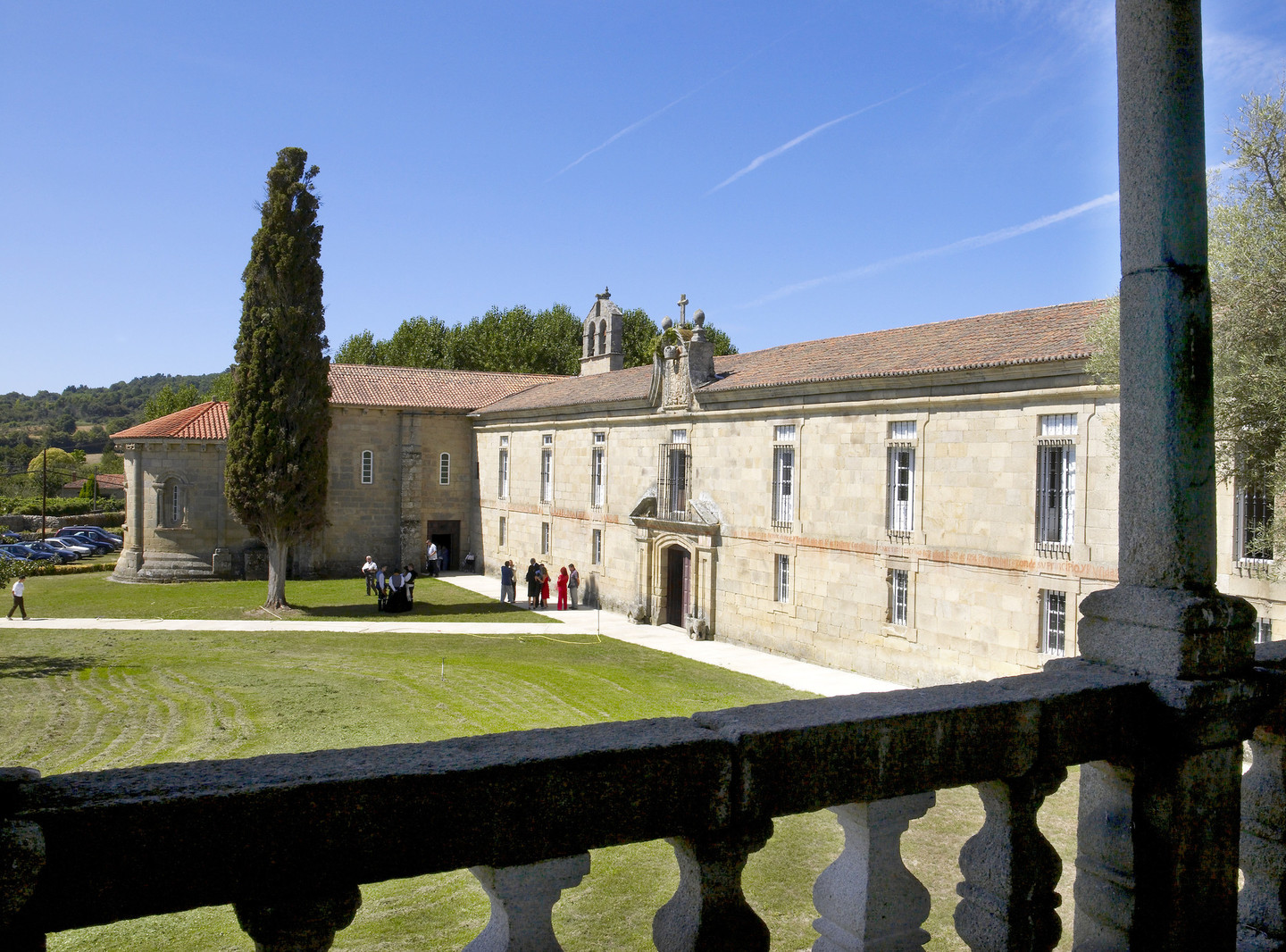
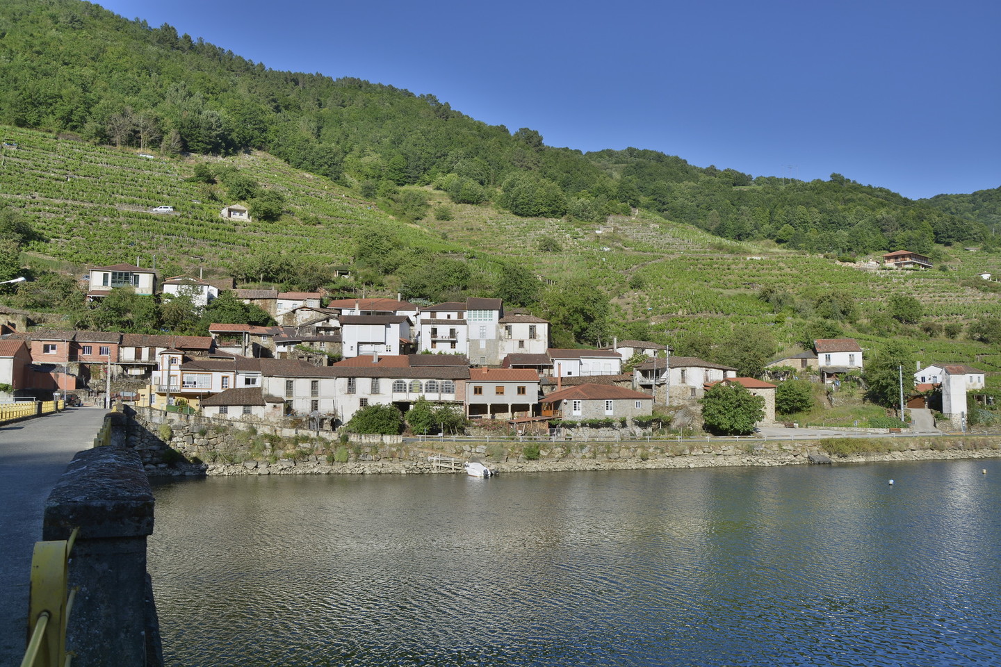
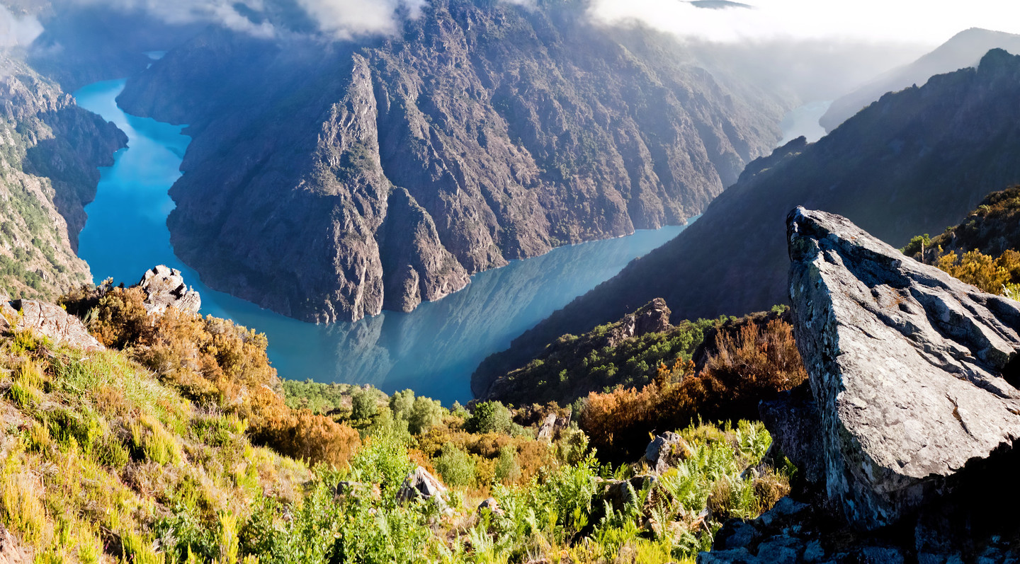
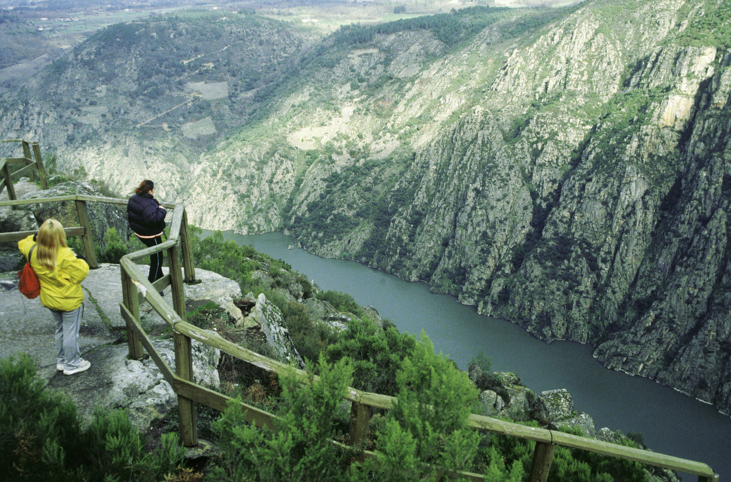
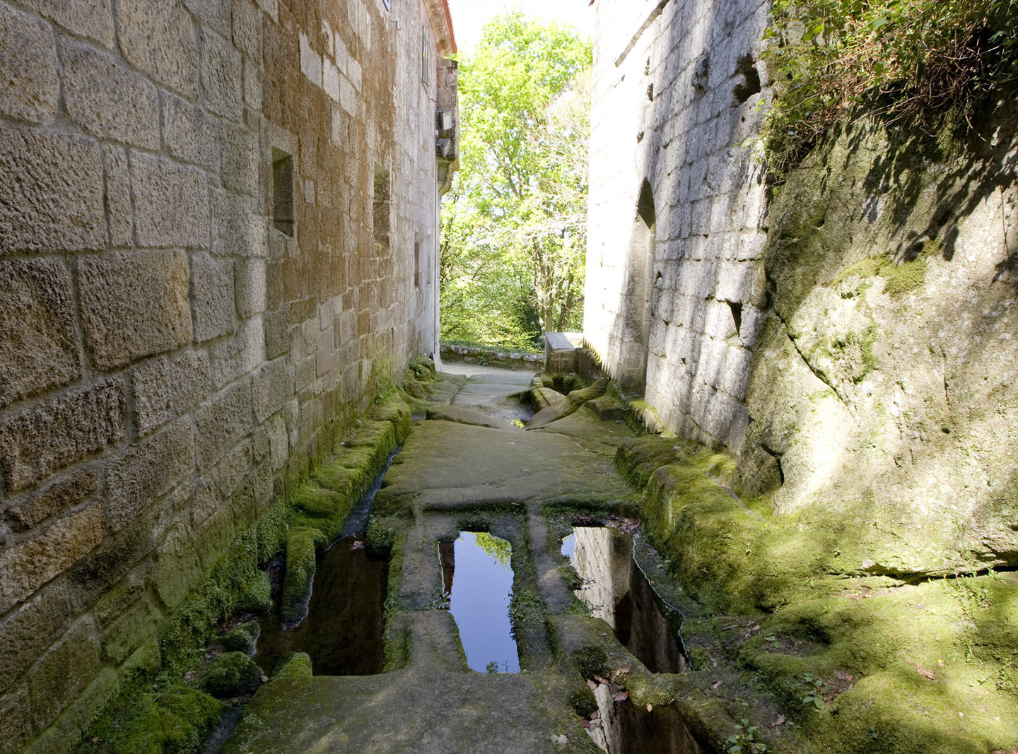
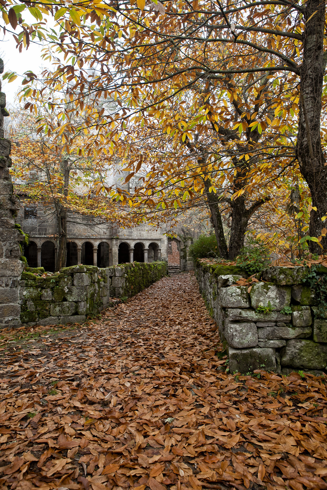
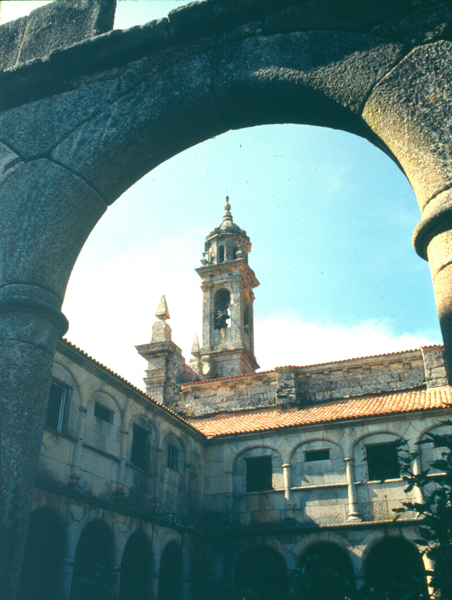
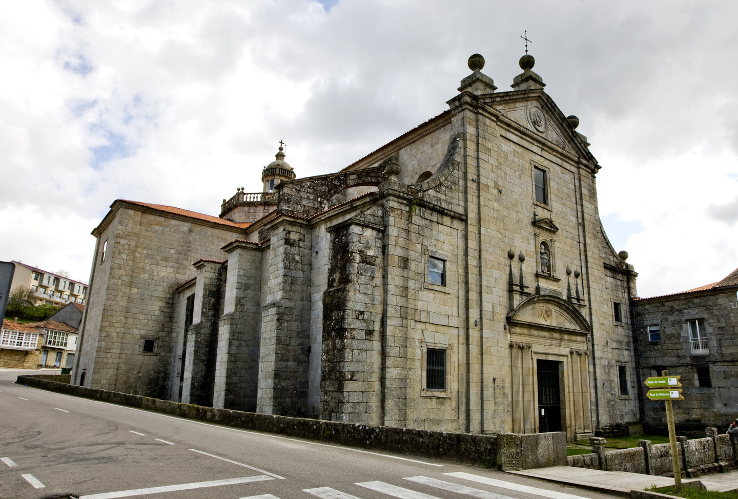
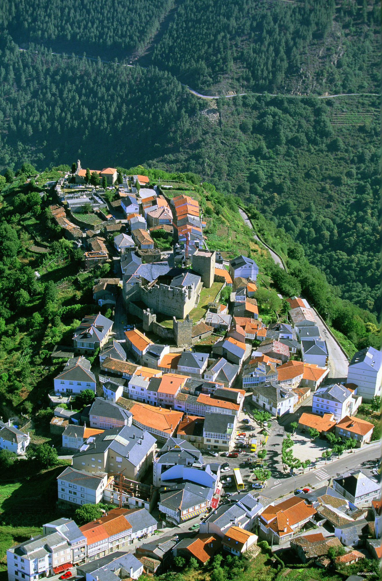
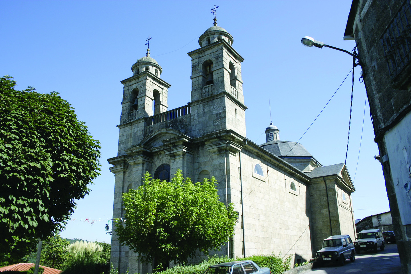
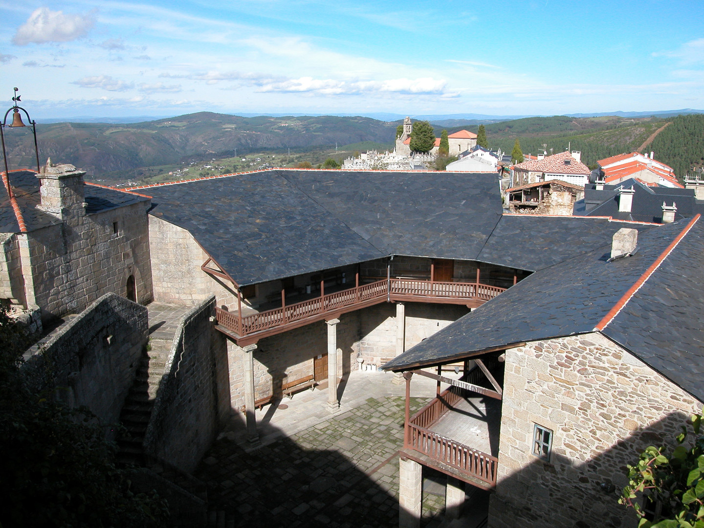
A Ribeira Sacra encompasses the lands bathed by the Sil and Miño rivers in the interior of Galicia where the two rivers meet. In the last kilometres before it flows into the Miño, near the village of Os Peares, the Sil flows along the border between the provinces of Lugo and Ourense, creating a deep canyon. This impressive and unusual landscape is a defining feature of this territory.

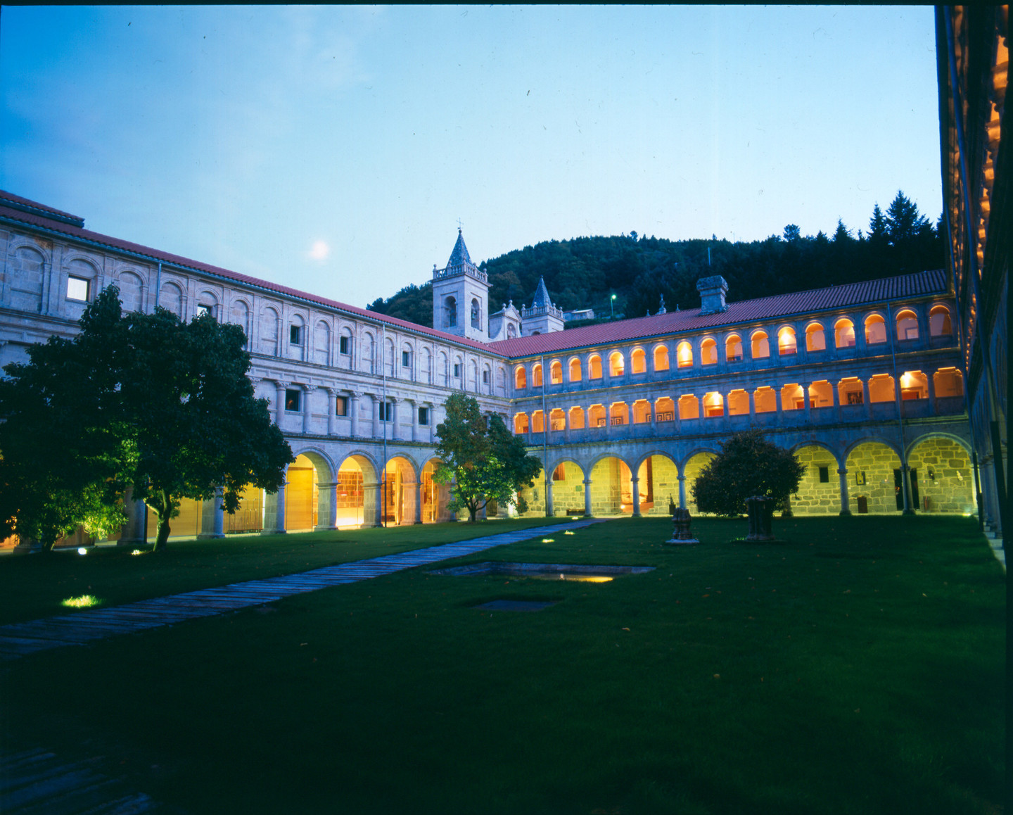
In these areas, which are at times bucolic and at others rugged, monks and hermits settled at the dawn of Christianity to practice an ascetic life. Over time, these settlements gave rise to flourishing monasteries that spread art, culture, and material progress throughout Galicia. Hence the name Ribeira Sacra, which has been documented since the 12th century, although it might be a corruption of "rovoyra sacrata" (sacred oak grove) as noted in the foundational document of Montederramo granted in Allariz in 1124.

The most important monastery is Santo Estevo de Ribas de Sil, a centre of not only religious power, as its abbot was for centuries responsible for administering justice and appointing scribes and customs officials.

As a legacy of the last 1500 years, this part of Galicia boasts a valuable heritage that includes castles, churches, manors, and bridges. ts historical richness is complemented by archaeological remains from the Bronze Age and the Iron Age, as well as others that attest to the presence of Roman legions in this far western corner of the Roman Empire.

The relief of Ribeira Sacra consists of plateaus and mountains softened by erosion, giving way abruptly to the Sil channel. The result is a canon formed millions of years ago that reaches depths of 500 metres in some places. Due to the construction of several reservoirs, the river is navigable for a stretch of 40 km. Catamaran cruises, one of the area's tourist attractions, allow visitors to enjoy the secluded corners, inaccessible otherwise due to the terrain's difficulty. At the heights of the canyon, there are numerous viewpoints hanging over the river, ideal vantage points for contemplating a uniquely beautiful landscape.

The possibilities for active tourism range from hiking to rappelling or canyoning, including paragliding, horseback riding, and mountain biking.

The vegetation consists of oaks, chestnuts, birches, and alders, as well as broom, gorse, and heather. The changing seasons transform the colours of the land in tune with nature. Among the crops, the vineyards stand out, arranged in terraces or "socalcos," sometimes accompanied by cypresses. The wines from the region, a perfect complement to the esteemed local cuisine, are marketed under the Ribeira Sacra designation of origin.

The unique topography of these areas makes them an ideal setting for all kinds of outdoor activities. Additionally, the nearby Cabeza de Manzaneda ski resort should not be overlooked. For those less adventurous, there is a wide array of traditional festivals, gastronomic events, and cultural activities to enjoy in the region.

Route

The route we propose is of low difficulty. It uses a car as back-up and includes short journeys on foot. It is suitable for everyone and ideal to do as a family. The estimated duration is four days. The time distribution should be taken just as an example, as it can be varied according to preference.

Day 1

On our first day of the route, we will stay in the town of Monforte de Lemos, considered the gateway to the Ribeira Sacra. Monforte boasts an extensive heritage, manifested in monasteries, castles, palaces, convents, and bridges. These attributes make it an essential stop for travellers who appreciate art and history.

The land of Lemos stretches across a fertile plain, traversed by the Cabe River and dominated by the mountain of San Vicente, the heart of Monforte de Lemos. The name "Lemos" derives from the Lemavos, a pre-Roman people of probable Celtic origin, evidenced by numerous archaeological remains in the area. Like the Romans and the Suebi in later centuries, the Lemavos chose to settle in this location for its strategic advantages. Geographers of the time referred to this settlement as Castro Dactonium. At other times, the name Monte Forti was used, which is the direct predecessor of the current name, Monforte.

In the 8th century, the already Christianised Castro Dactonium was destroyed by the Arabs. Later, the monastery of San Vicente do Pino was built on its ruins, and from there, the medieval town of Monforte de Lemos grew as a major agricultural and livestock market. The monastery, now converted into a tourist resort, along with the Torre da Homenaxe (Tribute Tower) and the Pazo dos Condes de Lemos (Palace of the Counts of Lemos), forms the monumental complex of San Vicente do Pino, the perfect starting point for our visit to the town.

From the Pazo dos Condes de Lemos (Palace of the Counts of Lemos), the lords of these lands, some buildings that are now part of the Parador de Turismo are preserved. During its golden age, its rooms were used both to exercise power formidably and to host lavish parties. Flemish tapestries and works by Titian, Raphael, and El Greco hung on its walls. Its archives held important documents from one of the most significant lineages of those times. All of this was reduced to ashes after a fire in 1672, and it was subsequently rebuilt.

The medieval heritage of Monforte de Lemos is enhanced by its walls and towers, characterised by its irregular layout due to its construction in various stages. The enclosure has three exits: the door of Cadea Vella, Alcazaba, and Nova, where the emblem of the Counts can be seen engraved in marble.

A few meters from the wall, you will find some of the most representative streets of the old town, such as Cadea Vella Street, Fornos Street, and Burato Street. Strolling through them, you can admire the numerous emblazoned houses in Monforte, such as the Ribadeneira House and the Quiroga House. In these streets and squares, a significant Jewish community settled in the late Middle Ages (alongside Ribadavia, the most important in Galicia) which contributed to boosting the town's commercial life. In fact, Monforte de Lemos is part of the Sefarad Jewish Network.

We continue our journey by crossing the Cabe river via the ponte Vella (Old Bridge). This structure has Roman origins, although its current configuration dates back to the 16th century. It consists of six semicircular arches and features some medieval details. Next, we visit the Convent of the Barefoot Franciscans, also known as the Clarisas (Poor Clares). The interest here lies not so much in the architecture of the building, but in its museum of sacred art which houses the main collection of 17th-century Italian art in Galicia, as well as pieces from the Castilian School, including a sculpture by Gregorio Fernández. If we follow the course of the Cabe River, we arrive at the Colexio de Nosa Señora da Antiga (College of Our Lady of Antiga), an imposing building known as the “Llittle Escorial of Galicia”. The main altarpiece, created by the Galician Francisco Moure and completed by his son after his death, stands out. The museum within this late 16th-century Herrerian Renaissance-style building houses several works by El Greco and Andrea del Sarto.

The historical and artistic heritage of Monforte de Lemos is completed with the igrexa da Régoa (Church of Régoa), formerly known as the convent of San Xacinto, located in the old town. Highlights include the main altar and its organ, one of the best-preserved in Galicia despite being 300 years old, as well as its coffered ceiling. Other notable monuments include the Hermitage of San Lázaro, the Bridge of Picos, the Parque dos Condes and the Pazo de Tor. To visit the latter, we must travel 8 km along the road to Escairón. The palace dates back to the 18th century and is excellently preserved. Its interior boasts a library with over 8,000 volumes, weapons, damask curtains, jewellery, and antique furniture.

Interestingly, this town is home to one of the narrowest houses in the country, measuring 1.50 meters wide by 20 meters deep, consisting of four floors and a ground floor.

Day 2

After exploring the points of interest in Monforte de Lemos, we head towards Chantada until we reach near the Belesar reservoir, where we find a left turn leading to Santo Estevo de Ribas de Miño. After admiring the church and the beautiful surroundings, we head towards the village of Belesar, admiring the vineyards and terraces on the slopes of the Miño Valley, whose grapes produce the renowned wines of the region.

From Belesar, we can take a catamarán that runs through the Peares reservoir, descending along the waters of the Miño river. This round trip lasts approximately two hours, reaching the so-called "Cape of the World," a curve made by the river near Nogueira de Miño. For more information, visit the website provided by the Lugo Provincial Council (https://reservas.rutasembalses.es)

From Belesar, we will return to the LU-533 road towards Monforte de Lemos. A short distance away, we will take the first left turn signposted to Pesqueiras. At the stop sign, we will turn right onto the LU-617 until we find the road marked for the villages of Buxán and Diomondi. Our next stop is the church of San Paio de Diomondi, located at the foot of the Winter Way. We will then continue our route towards Castro de Ferreira, approaching the Ecomuseo de Arxeriz which houses an interesting ethnographic exhibit, a castro, and views of the so-called "Cape of the World”. Our next stop is the village of Mosteiro, where the church of San Miguel de Eiré is located, one of the most peculiar Romanesque constructions of 12th-century Galicia.

From O Castro de Ferreira, the capital of the Pantón municipality, we can visit two other important monuments. The first is the mosteiro das Madres Bernardas. It is located on the eastern outskirts of the town and is unique for being, since its founding and continuously, the only nunnery in Galicia. You can visit its church and also purchase its monastic pastries. Back to the Castro, we can take a look at casa do concello (town hall) which dates back to the 17th century. The final visit in the vicinity would be the church of San Fiz de Cangas, a Romanesque church from the late 12th century, located a few kilometres to the south

Returning to Castro, we take the N-120 road towards Ourense until reaching the top of Guítara. We then continue towards Peares until we find a signposted right turn that leads us to the church of Santo Estevo de Atán, notable for its ancient lattice windows. Returning to the road we came from, we will arrive at Peares, a locality divided between two provinces and four municipalities. Just before entering Peares, there is a narrow road, so it is necessary to drive carefully, which will take us to San Vicente de Pombeiro, another Romanesque gem in the Pantón municipality. Through glass windows, we can glimpse part of its interior.

Once this visit is finished, we return to Peares, where we will conclude this second day of the route. There are options to stay in rural tourism establishments, or you can head to Ourense, which is about 18 km away.

Day 3

We start the morning of our third day by leaving the town of Peares, the point where the waters of the Miño and Sil rivers converge. Before crossing the Sil, we take the road to the right, which, although privately owned, can be driven along, following the river upstream towards the Santo Estevo reservoir. Our path follows the course of the river, entering its canyon, so it is recommended to drive with caution. On the opposite bank runs the train track. In the riverbank lands, we can see the terraces or socalcos arranged for growing the grapes used to make the wines of the Ribeira Sacra wines.

At 1.3 km from Peares, we leave the San Pedro reservoir sluices on the left, and a few kilometers further, we will find a crossroads; on the left, we see the road that goes towards the train station and Pantón. Here, the Sil River merges with the waters of the Cabe, and from the bridge, we can catch a glimpse of the Santo Estevo Monastery, seemingly perched on the edge of the canyon. We continue our journey and reach the Santo Estevo reservoir, with a short stop at its viewpoint to observe the dam, which is over 100 meters high. Next, we skirt its waters. After travelling 11.6 km from Os Peares, we find a left turn that will take us to the Santo Estevo dock in just 1 km. From this point, boats depart that navigate its waters, offering routes of various durations.

Some of these routes may even reach the dock located at the foot of the bridge on the road connecting Castro Caldelas with Monforte de Lemos. During the journey, we will discover waterfalls, terraces with vineyards, curious rock formations, or we can glimpse the bell tower of Santa Cristina de Ribas de Sil standing out among the chestnut trees.Additionally, we will pass near the place known as Os Torgás - Os Balcóns de Madrid. On the banks, there are small docks used by local vintners to transport grapes during the harvest season. In some cases, the only exit to the reservoir is the only one that exists. After admiring these landscapes, we will end our morning.

The afternoon route of this third day in the Ribeira Sacra starts from the Santo Estevo dock towards Loureiro and Luíntra. After a little over 4 km, we arrive at a crossroads. If we turn left, we will head towards Parada de Sil to visit the Santa Cristina de Ribas de Sil monastery and the place known as Os Torgás - Os Balcóns de Madrid. On the other hand, the right branch takes us to the Santo Estevo de Ribas de Sil monastery.

We propose visiting Santa Cristina de Ribas de Sil first, so we will turn left. Shortly after entering the municipality of Parada de Sil, we will find the miradoiro de Cabezoás, which offers good views of the Sil River canyon. In the place of Caxide, we will find a unique bell tower constructed of wrought iron. At a distance of 14.3 km from the Loureiros crossing, we will arrive at Parada de Sil. The Santa Cristina de Ribas de Sil monastery is 4.5 km away, taking a left turn from this town. During periods of high demand, it is necessary to reserve the visit, which includes transportation via shuttle bus from Parada de Sil (check the website https://turismo.ribeirasacra.org/reservas). After the visit, we will retrace our steps and rejoin the road. A few meters further, to the left, we will then see the sign indicating the way to the Torgás viewpoint, also known as the The Os Balcóns de Madrid. From this point, we have magnificent views of the Sil River Canyon, with its walls rising almost 500 meters above the dammed waters.

Continuing on the road that connects Parada de Sil with Teixeira and O Castro de Caldelas, we come across the Mao River Canyon. The Mao River joins the Sil River at Barxacova, where a unique trail begins. This is a section of the PR-G 177 Ruta Canón do río Mao featuring a spectacular wooden walkway built at a considerable height over the steep terrain along the river, inviting us to enjoy the landscape. The walk mostly takes place at the height of the treetops, passing through a forest of oaks, chestnuts, strawberry trees, and laurels. We highly recommend not missing this experience, as the route offers a very different attraction compared to other hiking trails in the Ribeira Sacra.

Returning to Parada de Sil, we will again take the road to Luintra until we find the marked detour that leads us to the Santo Estevo de Ribas de Sil monastery, restored in 2004 and now one of the most notable establishments in the Paradores network.

We will then return to the main road and continue towards Luintra, the capital of the municipality of Nogueira de Ramuín, located 5 km away. This municipality is popularly known as the birthplace of "sharpeners and umbrella stands”. We will reach the center of the town, where there is a roundabout. Here, we will take the left turn towards Loña do Monte and Esgos. After travelling a little over 10 km, we find the turnoff to visit the San Pedro de Rocas monastery, carved directly into the mountain and dating back to the 6th century. This will be the last stop of the day. In the municipality of Nogueira de Ramuín, or nearby Pereiro de Aguiar and even Ourense (about 20 km away), there are various accommodation options.

Day 4

Our last day of the Ribeira Sacra tour begins near the San Pedro de Rocas monastery, the final stop of the previous day. From the road coming from Luintra, we need to head towards Esgos. Upon reaching the stop at OU-536, we will turn left towards A Pobra de Trives. About 7 km from Esgos, after passing Alto do Couso and the parish of Niñodaguia, famous for its pottery, we will arrive at a junction. Here, turn left to reach Xunqueira de Espadanedo, where we will visit the Santa María monastery.

We will then continue our journey and about 6 km from Xunqueira we reach Alto do Rodicio, at an altitude of 950 meters, from where we will have a beautiful view of the Arnoia valley. For the best views, we need to take the road that goes up to Cabeza de Meda, and after 3 km, leave the car in a clearing and continue on foot to the Val do Medo viewpoint.

We will continue advancing and after another 6 km, we wiill then arrive at Vilariño Frío, where we can stop to visit its bridge of Roman origin. To reach it, we only need to walk about five hundred meters along a path that may present some obstacles during the rainy season.

From Vilariño Frío to Leboreiro, it is barely one kilometre away. In this last place, we will turn right towards Montederramo, which is 5 km away. There we will visit the Santa María monastery, notable for its Renaissance cloister of the Hospedería and the Reglar, as well as its impressive main altar.

From Montederramo, we will continue along the road that runs alongside the monastery. Further ahead, 2.7 km away, we will take a left turn with signs towards Marrubio and O Castro de Caldelas. The cruceiro de Marrubio and the Chapel of Santo Antón, which we can stop to visit, are just one kilometer from the detour. After this pause, we will return the same way and head to O Castro de Caldelas, located about 16 km away. We will visit the castle, the Church of Santa Isabel and the sanctuary da Virxe dos Remedios.

We leave O Castro de Caldelas via the OU-903 road towards Monforte de Lemos. After passing kilometer marker 21, at the location of Pombar, we take the paved track on the right to reach the Matacás viewpoint, which offers good views of the Sil River and the terraces where the Amandi vines are cultivated, already on the Lugo side of the Ribeira Sacra. After crossing the Sil River bridge, the road runs between the terraces, passing by the Soutochao viewpoint. Finally, to conclude our day and this route through the Ribeira Sacra, we head to Monforte de Lemos (about 28 km from Castro de Caldelas).

Arriba