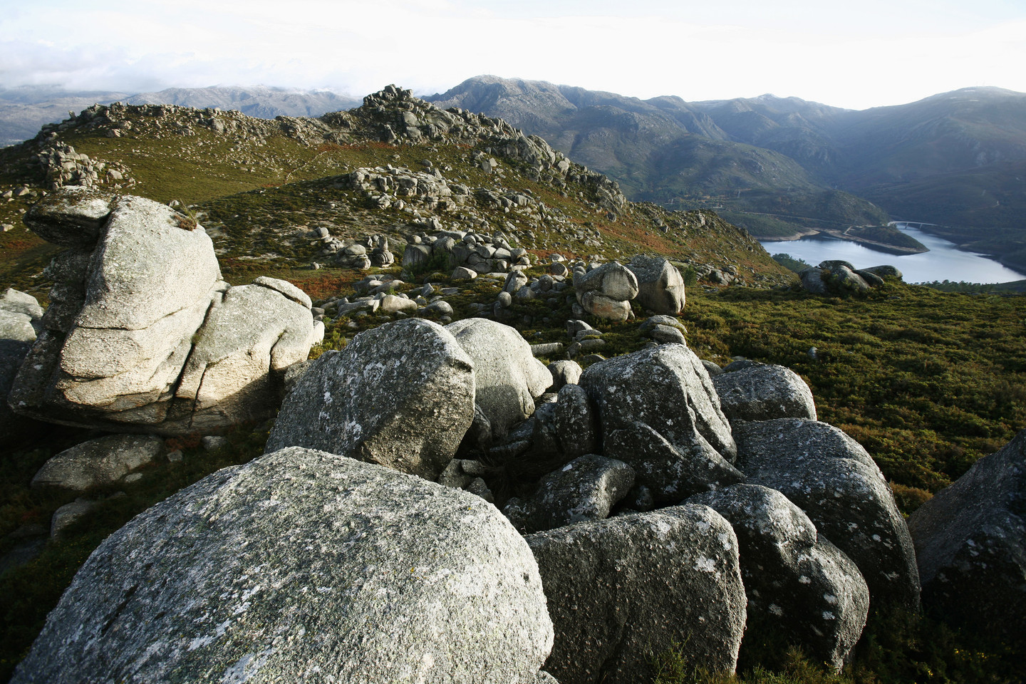
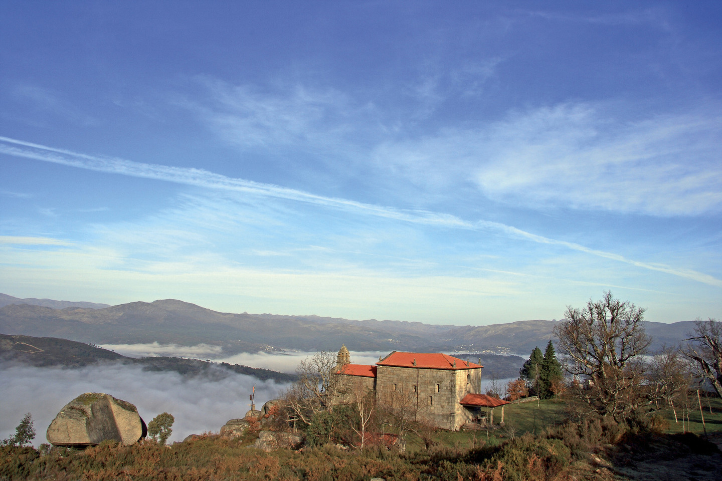
The park begin in Ourense and when it crosses the line separating it from Portugal, it becomes the Parque Peneda-Gerés... Here the forests know no borders.

Maybe that's why these are the lands of the Couto Mixto, a territory that never belonged either to Spain or to Portugal, and whose inhabitants chose their nationality they wanted on their wedding day.

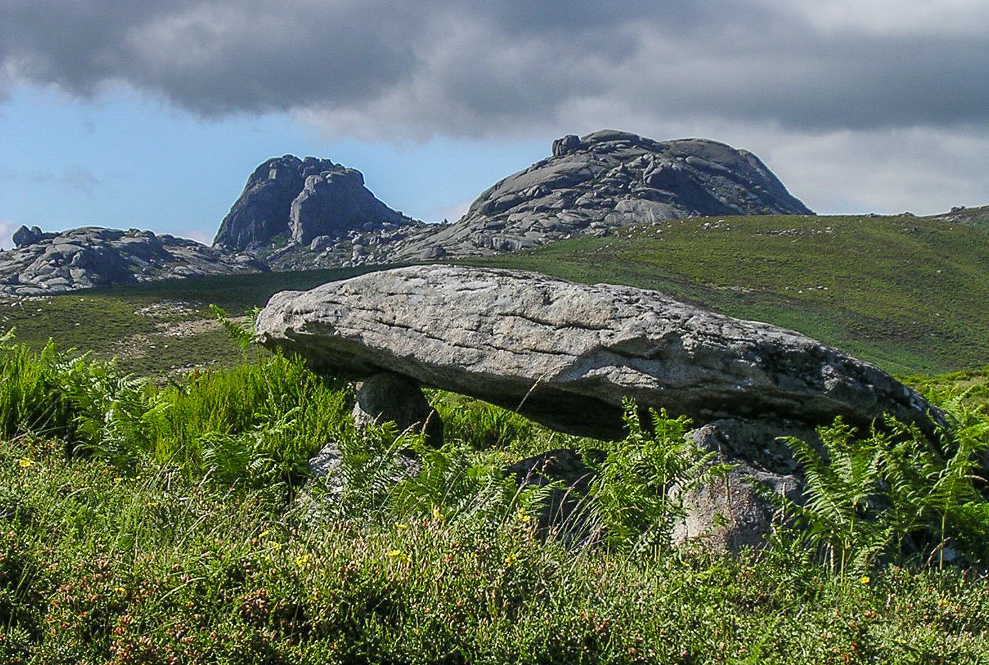
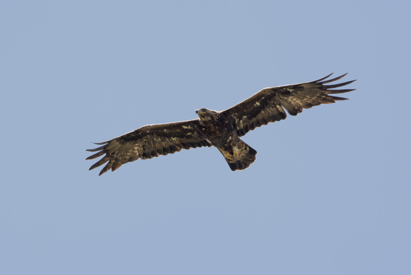
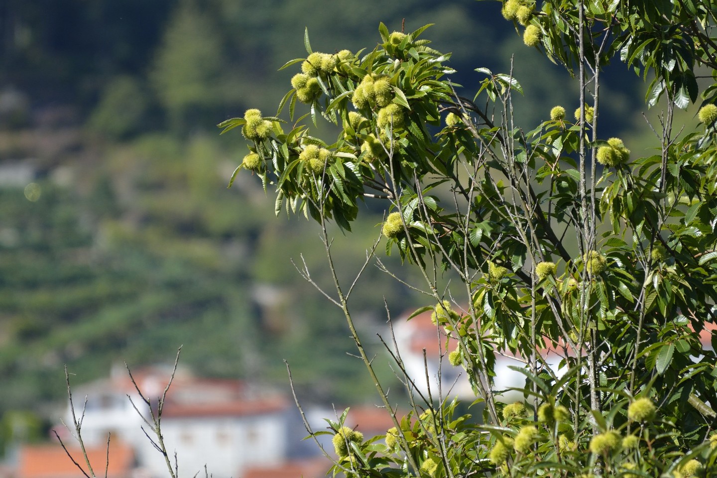
A world of big trees, wolves, roe deer and wild horses that 2,000 years ago was already crossed over from north to south along the Via Nova built by the Romans to link Astorga and Braga. 

The legions no longer pass through here but, instead, you can find lovely scenery in the towns and roads of the park. Wonders such as the A Fecha waterfalls, or amazing villages such as Casola, built on land with a 20% slope. And, also, unexpected findings such as "Cachena" cows, a small breed with huge horns.

RELATED DOCUMENTS...

“Raia seca” landscapes

The Limia is a unique river. It has excavated a natural corridor along which history has left its human traces. The river gathers up a mass of water which leaps down in waterfalls and cascades, rests in successive dams, crosses a border and finally gives up its waters to the Atlantic. In this way the largest Natural Park in our region is united with the most important Park in Portugal, the Peneda-Gerês National Park.

This is the “raia seca”, for the border layout is not located around the rivers but high up in the mountains: O Laboreiro, Queguas and Quinxo in the north; Santa Eufemia, O Xurés and O Pisco, in the south. The highest peaks are 1,500 metres high and combine the smooth forms of the old Galician mountains with the most rugged peaks. Needles and bolos (granite stones), which time has balanced in complicated equilibrium, are one of the distinguishing marks of the area.

Here we will find megalithic monuments, legends of gold and evidence of the passing of the Roman soldiers along the XVIII or Vía Nova road. Still standing are the milestones that were left on the road that joined the Roman capitals of Braga and Astorga through the only natural way through these mountains, the mythical Portela do Home, border access point to Portuguese territory.

The traditional constructions like mills, walled beehives (alvarizas), shepherds’ cabins (chivanas), raised granaries (hórreos), ovens, roads and walls reveal the most creative soul of its inhabitants. A heritage from the traditions still kept alive in the dozen villages which until the present day have kept agriculture and fishing alive in the Park. Villages like those of O Couto Mixto, the territory which, until 1868, had a statute of privilege independent of Spain and Portugal.


Not to be Missed

Before entering the Park, the OU-540 main access road provides visitors with the opportunity to stop and look at the historical heritage of the area.

Aquis Querquernnis is a Roman site made up of a camp and a mansio viaria located on the banks of the As Conchas, reservoir in the village of Bande. Close by we find the modern Interpretation Centre Aquae Querquennae - Via Nova. The pre-Romanesque church of Santa Comba de Bande is also in this area. Its nave and wallpaintings are a must for visitors.

In the Park there are routes by car which join the natural lookout points and important places, a route for horse riders and many rambling options, some quite demanding, over all of the mountains that make up the raia. Lobios, on the left side and Entrimo on the right, are the Park’s main towns. The offices of the Interpretation Centre are located in the spa town of Lobios, with its thermal waters from the river Caldo.

In the same town and just a few metres away from the spa are located the Roman remains of the mansio Aquis Originis, which is open to visitors. Along the stretch of highway from Lobios to the border pass of Portela do Home the A Fecha waterfall, the highest in Galicia in the rainy season, can be seen in the distance, as well as many of the Roman road milestones.

From A Terrachá, the municipal capital of Entrimo, which has an interesting church with a baroque facade, there are turnoffs to the Queguas and O Quinxo mountains, such as the one to the village of Olelas, one of the best places to see cachena cows. This is native to the area, small with large horns and well adapted to the harsh mountain climate, and which in recent years has been rescued from the danger of extinction.


Outstanding Nature

O Xurés has a wide range of scenery and life.

It is a transitional area between the Eurosiberian flora (Atlantic) and that of the Mediterranean, combined with altitude factors and the direction of the valleys; scrub on the peaks and forests of oak and other species in the valley, with important riverside forest.

Here, there are packs of wolves and their prey, also mountain goats and the Galician pony or garrano, reintroduced into the region under a programme of recuperation and reintroduction of native species.


Useful information

Location

  • Southwest of the province of Ourense, bordering Portugal. In the municipalities of Entrimo, Lobios and Muíños. The SCI also carries on into the municipalities of Padrenda, Quintela de Leirado, Verea, Bande, Calvos de Randín and Lobeira.

Area

  • 29,762 hectares. SCI: 34,248.13 hectares.

Access

  • From Ourense, in the direction of Celanova and Portugal, on the OU-540. From Xinzo de Limia on the local OU-301 road to Bande.

Services

  • Food: Yes.
  • Accommodation: Yes.

More information

  • Park headquarters, in Lobios. Tel. 988 788 761 and 988 788 755.

Facilities

Arriba
Help us improve!