


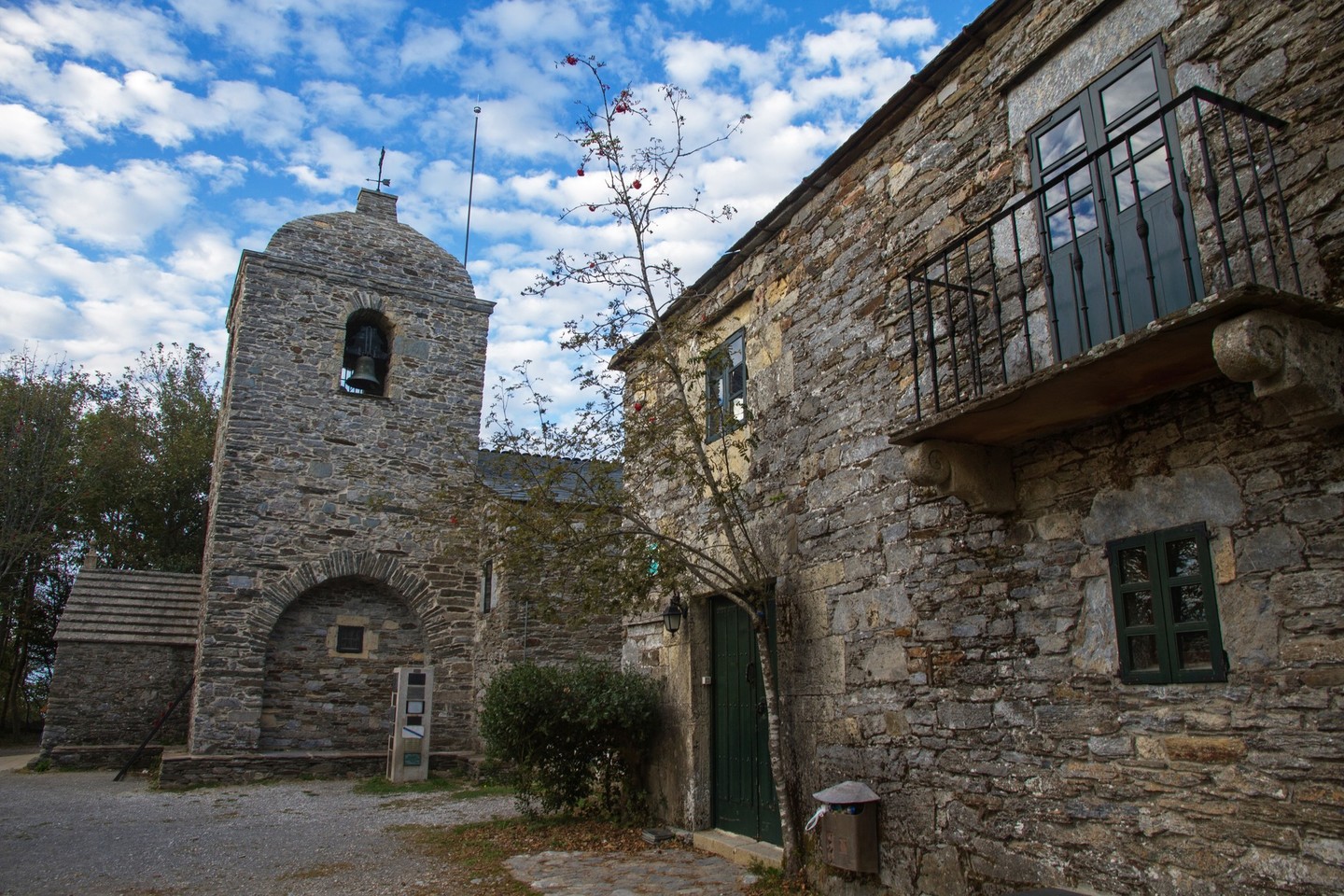
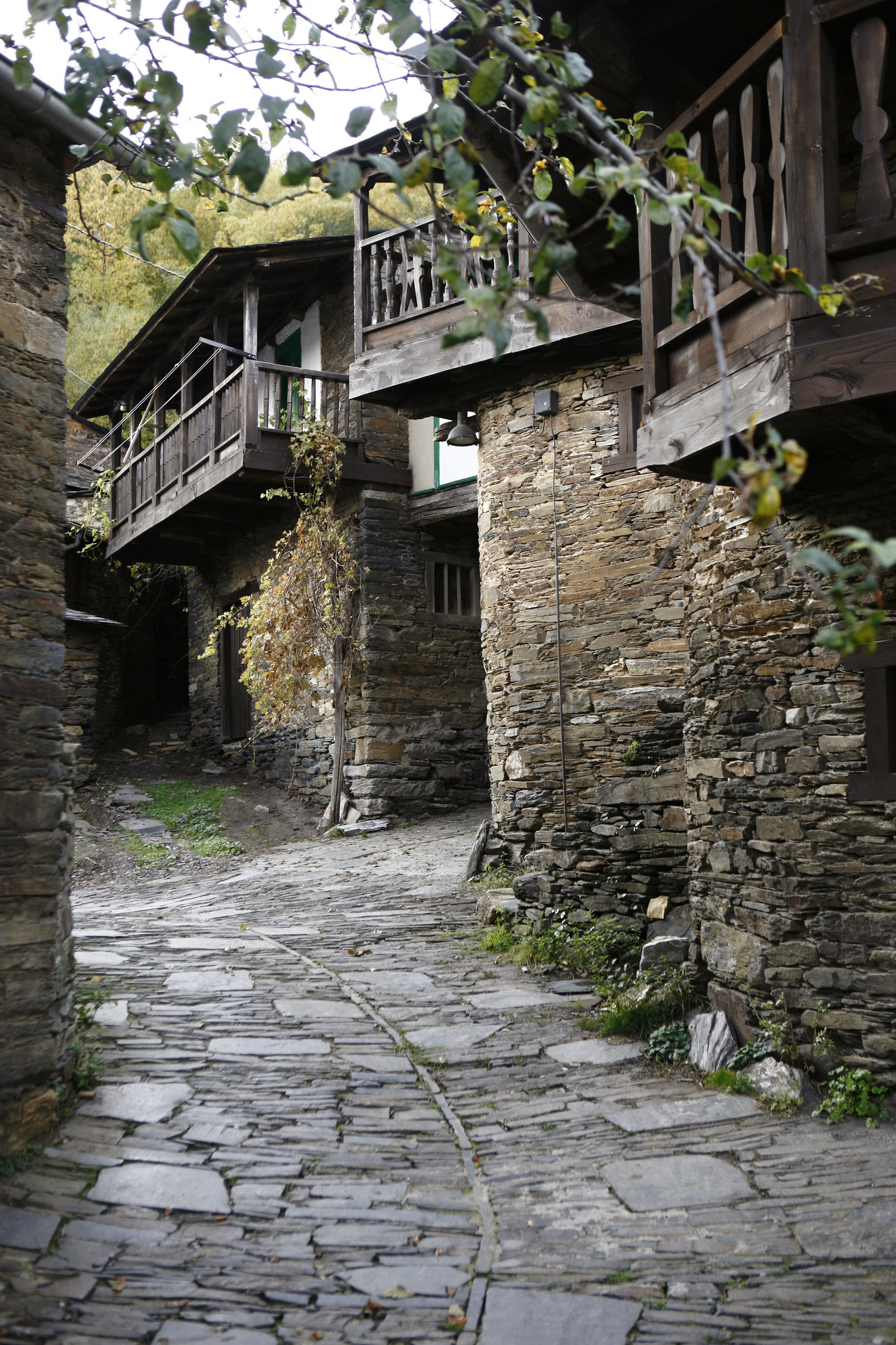
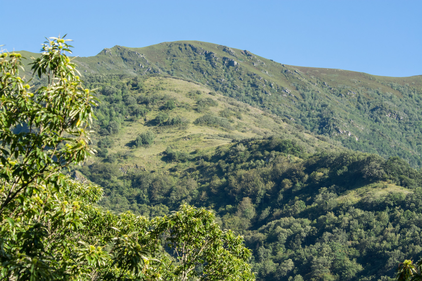
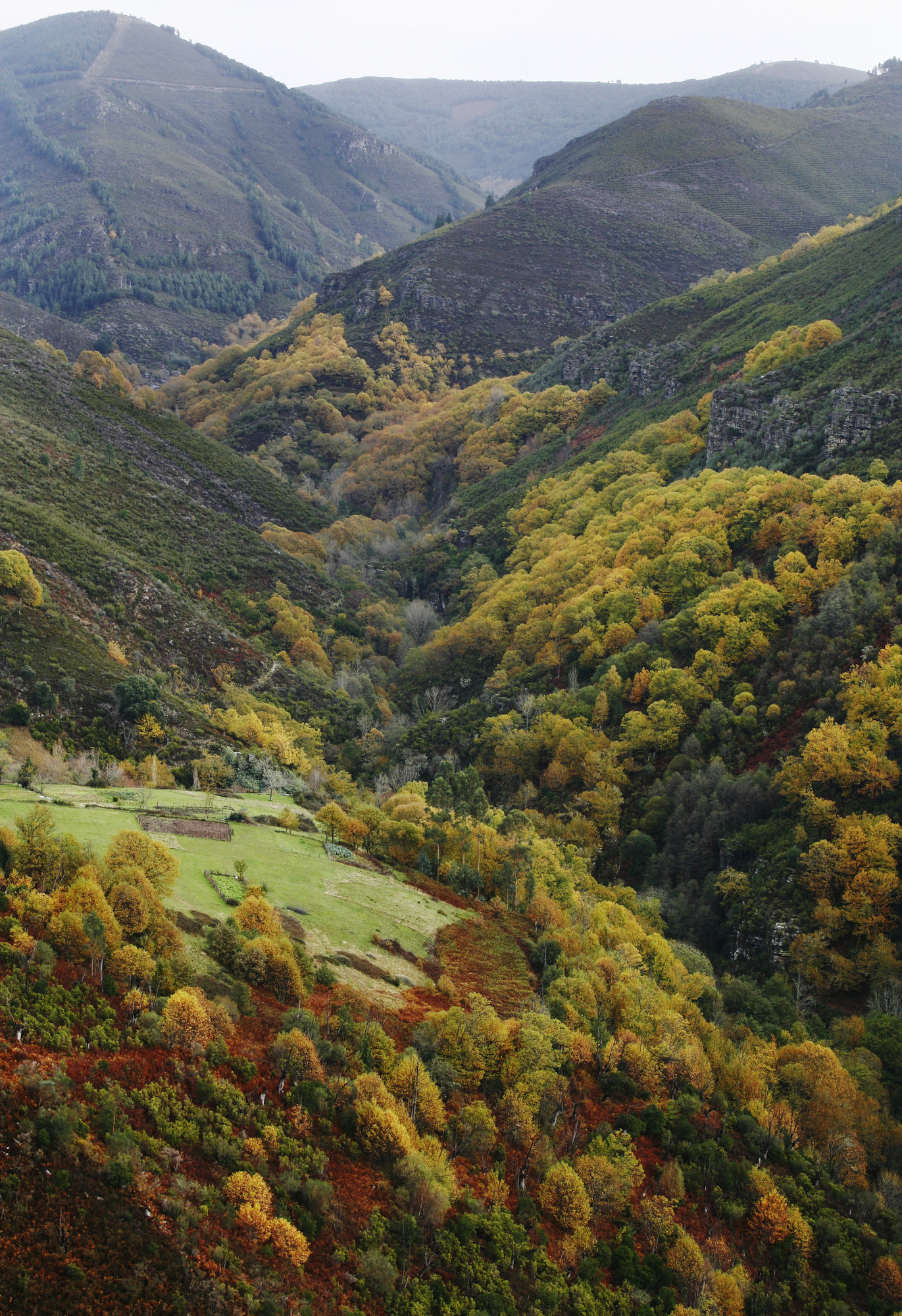
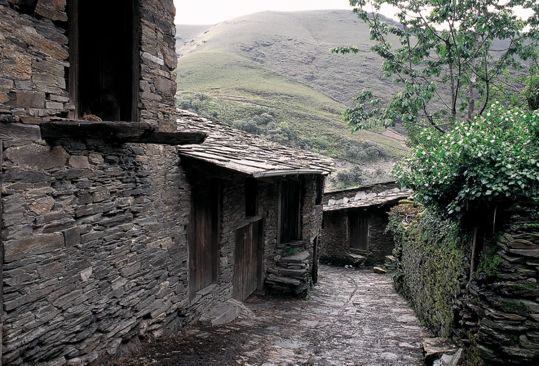
A Serra do Courel, atravessada pelo rio Lor, é um lugar natural de beleza incalculável que conquistou como ninguém, o escritor Uxió Novoneyra nos seus poemas. Os seus picos mais altos são Formigueiros, Montouto e Pia Paxaro, montanhas adequadas para a realização de trilhos para caminhadas e desfrutar da natureza no seu estado mais selvagem e vivo.
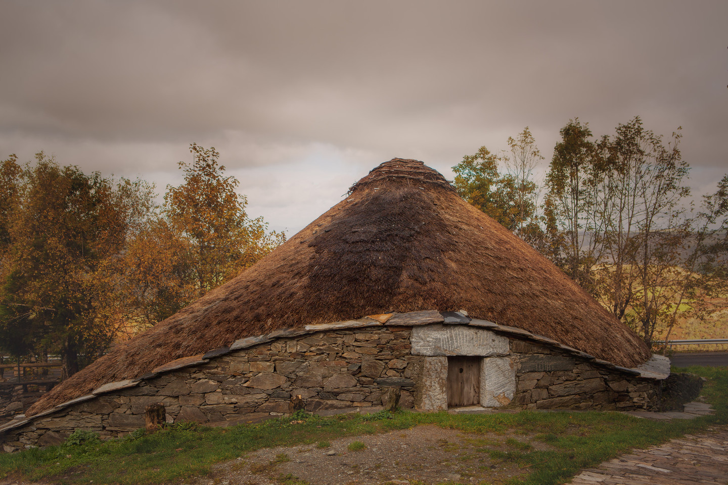
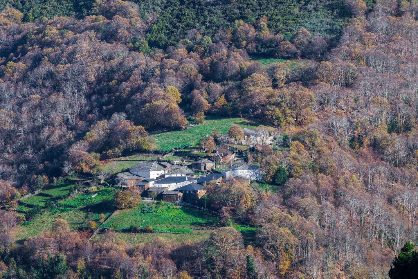
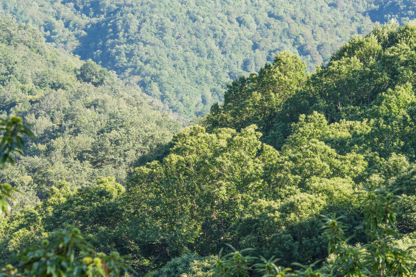
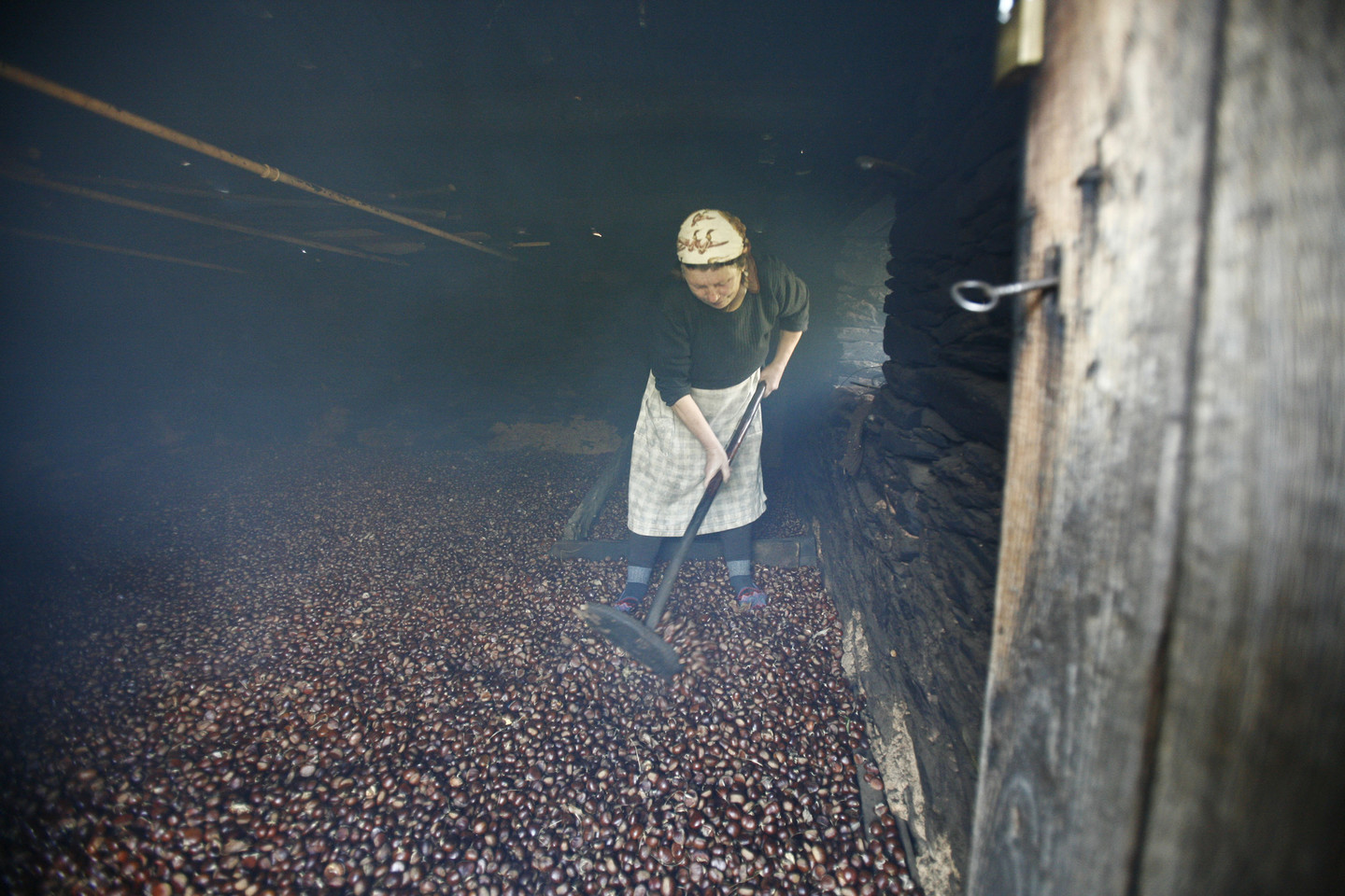
A cobertura vegetal do local, muito abundante e rica, aparece repleta de uceiras e carvalhos, e nas zonas altas podemos encontrar florestas de azinheiras e de outras árvores autóctones. Os vales estão rodeados por colinas de castanheiros. No Courel também se destacam soutos como a Devesa da Rogueira, uma das reservas botânicas mais belas e ricas da Galiza.
