


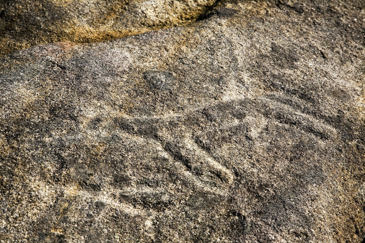
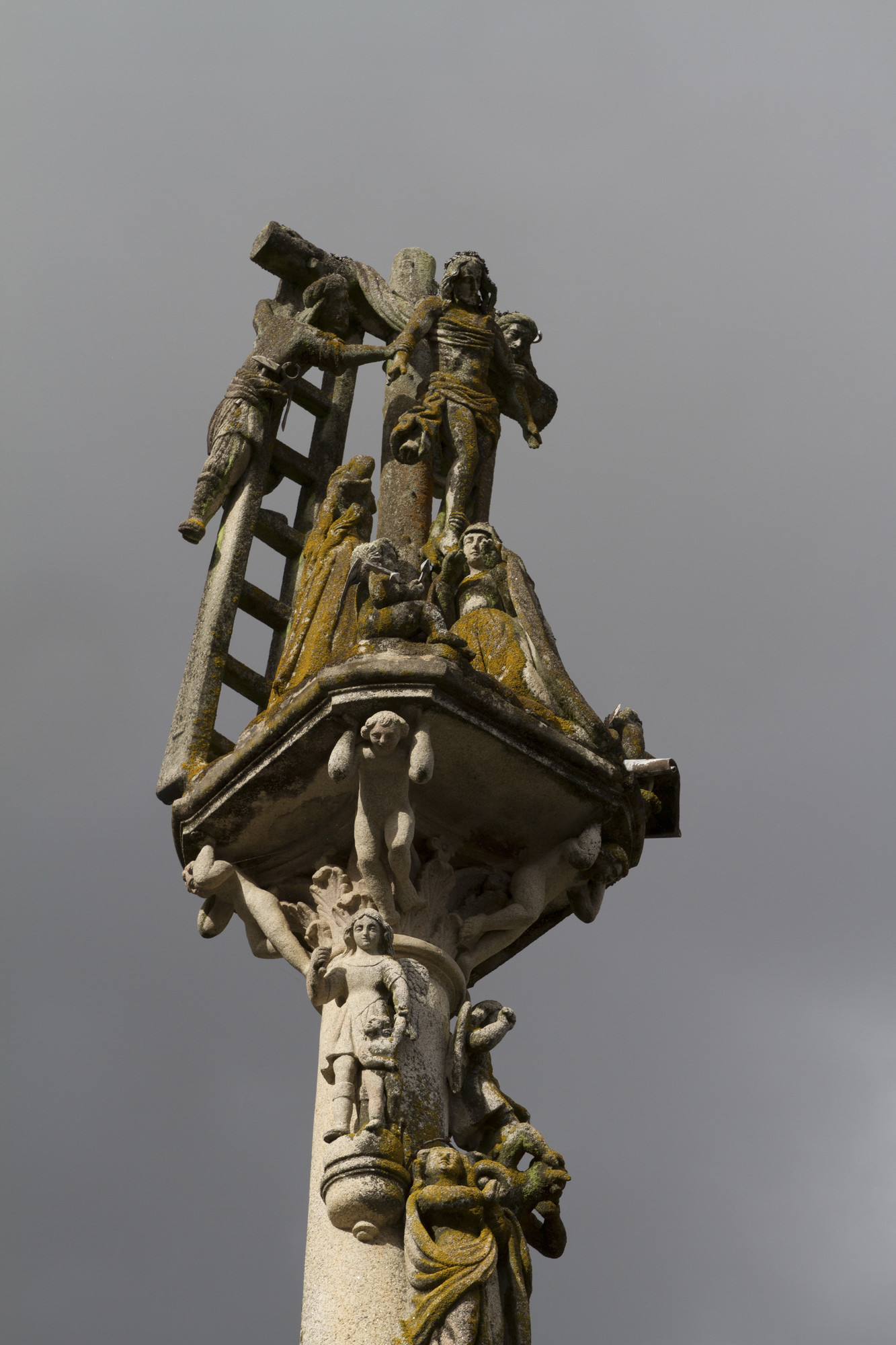
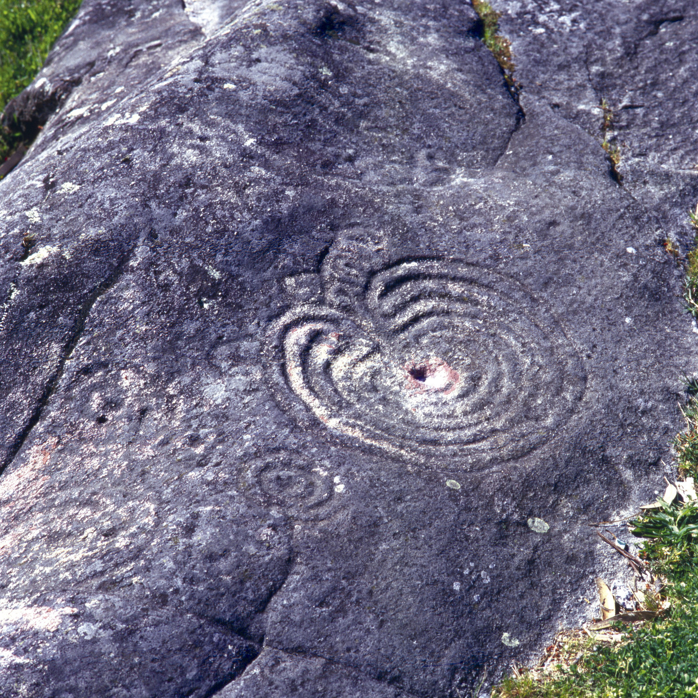
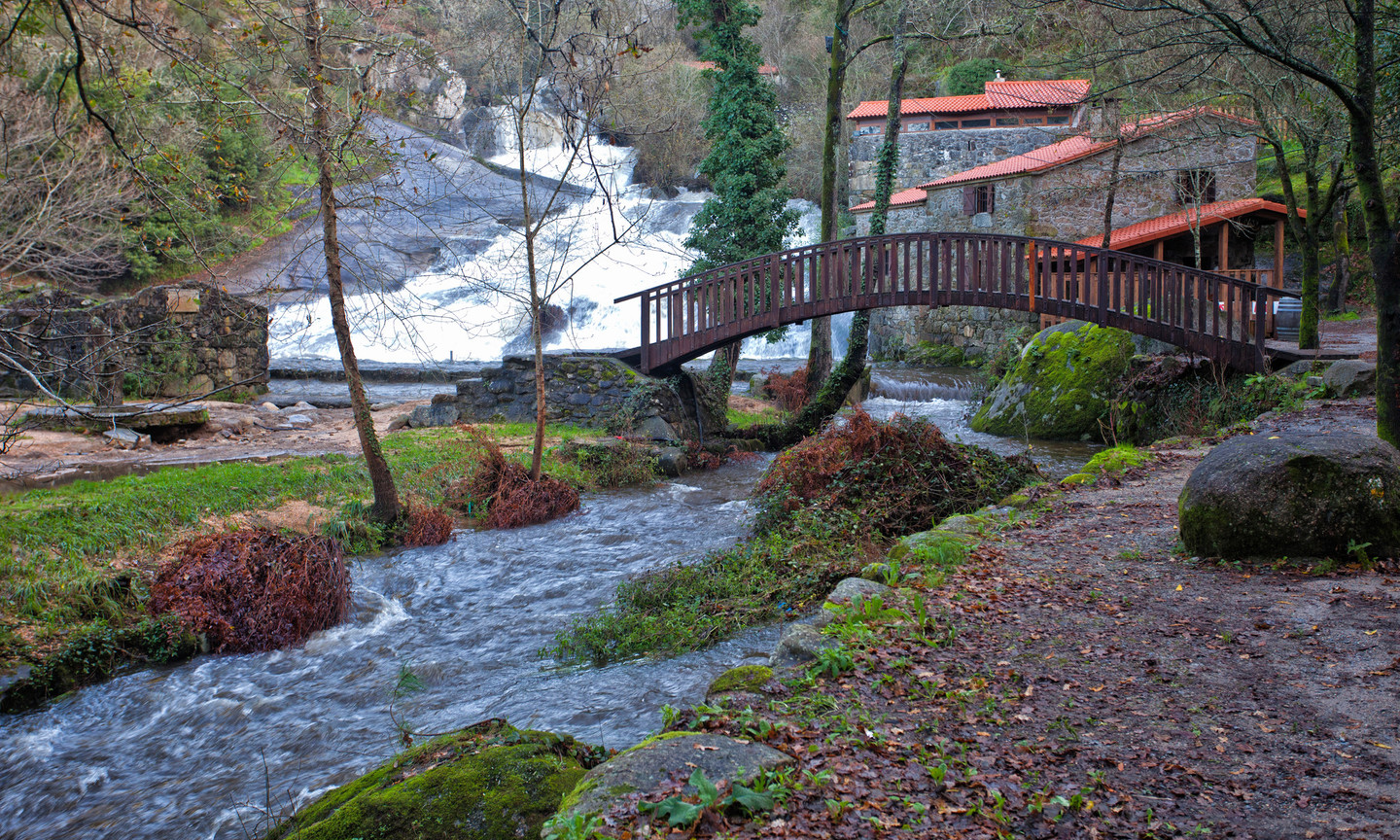
With this route, you'll be able to visit the oldest stones in Galicia and discover impressive petroglyphs, mills, crosses, a granary, the odd castle and even a menhir!
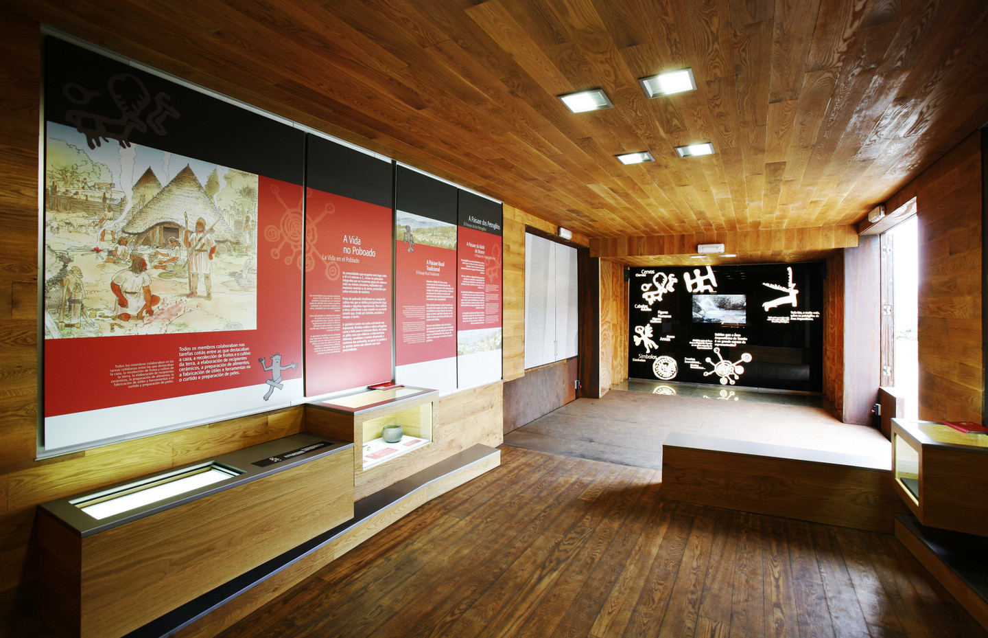
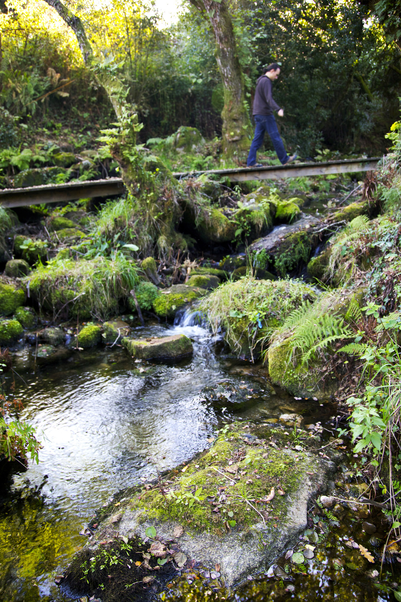
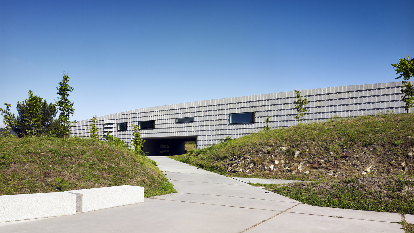
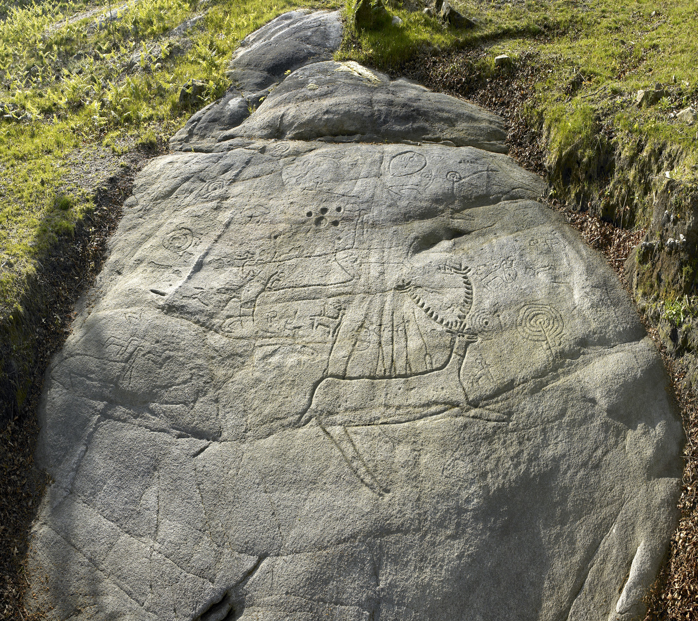
Campo Lameiro is considered one of the greatest archaeological sites in Europe and is the largest in the northwestern peninsula.
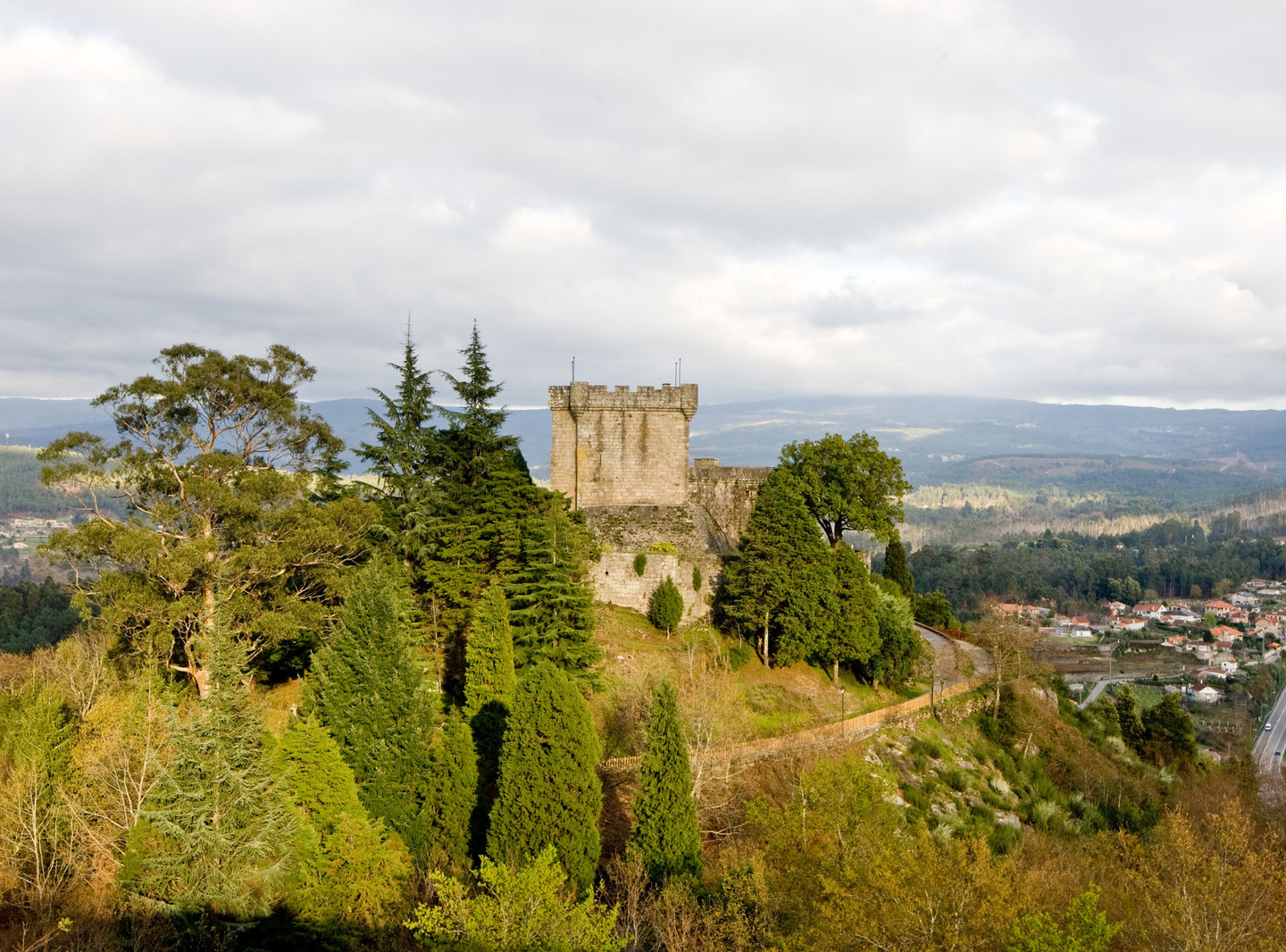
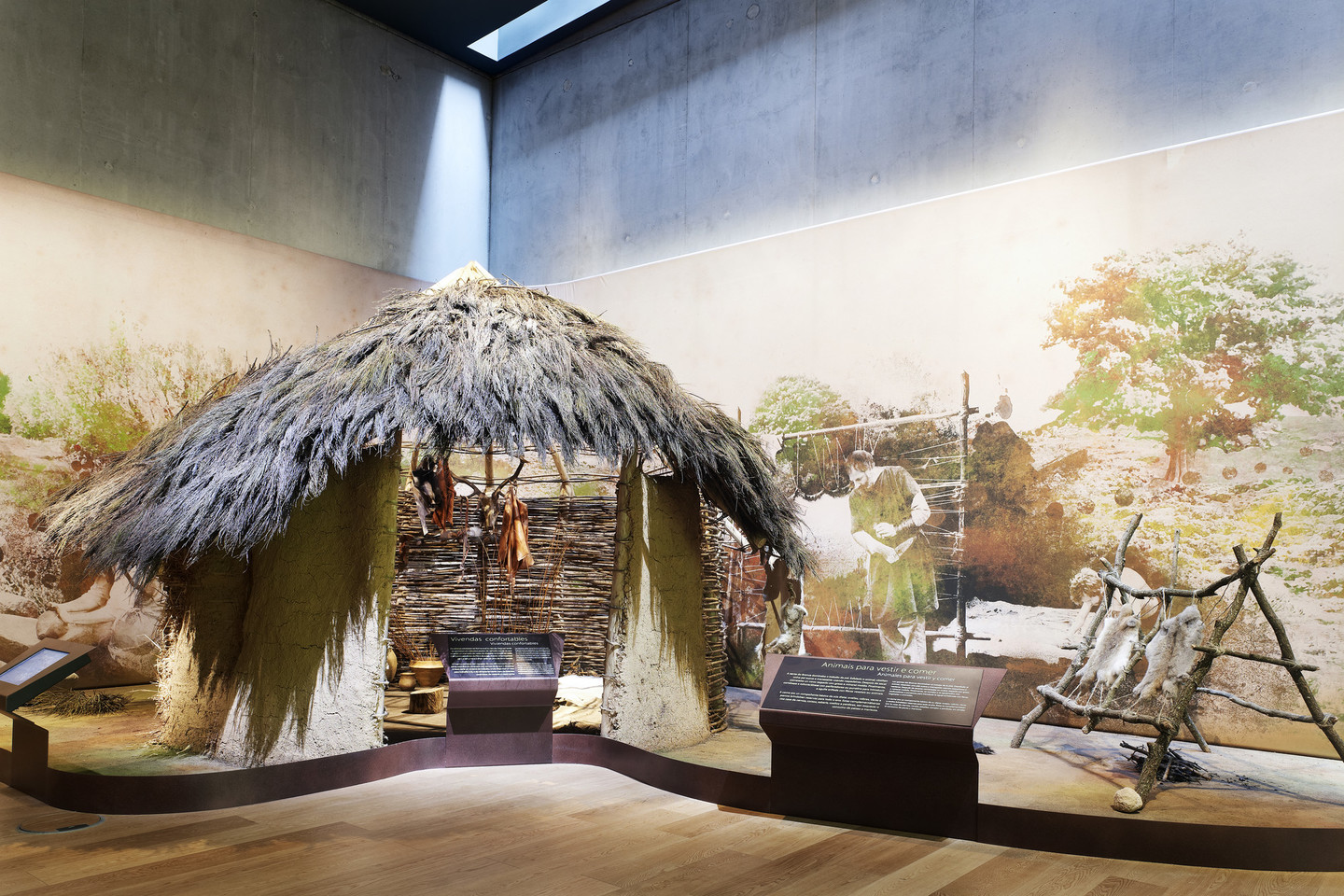
Sobroso Castle houses the Museo do Traxe Galego (Galician Costume Museum) and ethnographic museum. There you can see a permanent exhibition on the lives of our ancestors and gain a better understanding of our culture.
