Turismo de Galicia


-
Things to do
Way of St. James
Nature
Culture and heritage
Beaches and coast
Tourist trails
- Top ten: Ten unrivalled destinations
- The route of the camellia
- Tourist routes
- Pathways for discovering a country
- Walks to fall in love with
- Greenways
- Scenery at the wheel
- EuroVelo Galicia
- Beyond the Sunset
Gastronomy
Health tourism
PROMOTIONS TO ENJOY NOW
Cultural agenda
Will happen... View all
- Places to visit
-
Plan your trip
Build your journey
Practical information


- Start
- Things to do
-
Scenery at the wheel
- Way of St. James
- Galician Woodlands
- Experiencies in the midst of nature
- Magical Shrines
- Lighthouses and Wild Beaches
- Galicia Birding
- EuroVelo Galicia
- Hidden Heritage
- Marine Tourism
- Galicia Water Society
- Tourist routes
- The route of the camellia
- Scenery at the wheel
- Top ten: Ten unrivalled destinations
- Strolling Through Vineyards
- Pathways for discovering a country
- Walks to fall in love with
- Greenways
- Beyond the Sunset
- Galician springs
- Promotions to enjoy
- Cultural agenda
- Total Solar Eclipse
- 25 unusual routes through the best landscapes in Galicia
- Endless sea
-
From the castle of A Palma to the castle of A Nogueirosa
- From Ribadeo to Pico da Frouxeira
- From O Porto de Espasante to the Estaca de Bares lighthouse
- From Cedeira to Cape Ortegal
- From the castle of A Palma to the castle of A Nogueirosa
- From the Laxe lighthouse to O Roncudo point
- Camariñas circular tour
- From the Fisterra lighthouse to the lookout point at O Ézaro
- From Corrubedo lighthouse to Monte Enxa
- From Cape Udra to Cape Home
- From Monte Cepudo to Monte Aloia
- From Baiona to Santa Trega
-
A miña viaxe
A MIÑA VIAXE
- Compartir
- Correo
- Imprimir
ENDLESS SEA
From the castle of A Palma to the castle of A Nogueirosa...via Ártabro Gulf
In Redes, don’t stay.
In Caamouco, spend a while.
Popular saying
Contrary to the saying, it is worth stopping in Ares, staying in Redes and visiting the rest of the area. The Ártabro Gulf is one of the most densely populated parts of Galicia and includes substantial seaside towns such as Mugardos, Ares and Pontedeume, located to take advantage of the mild climate and peaceful beaches.
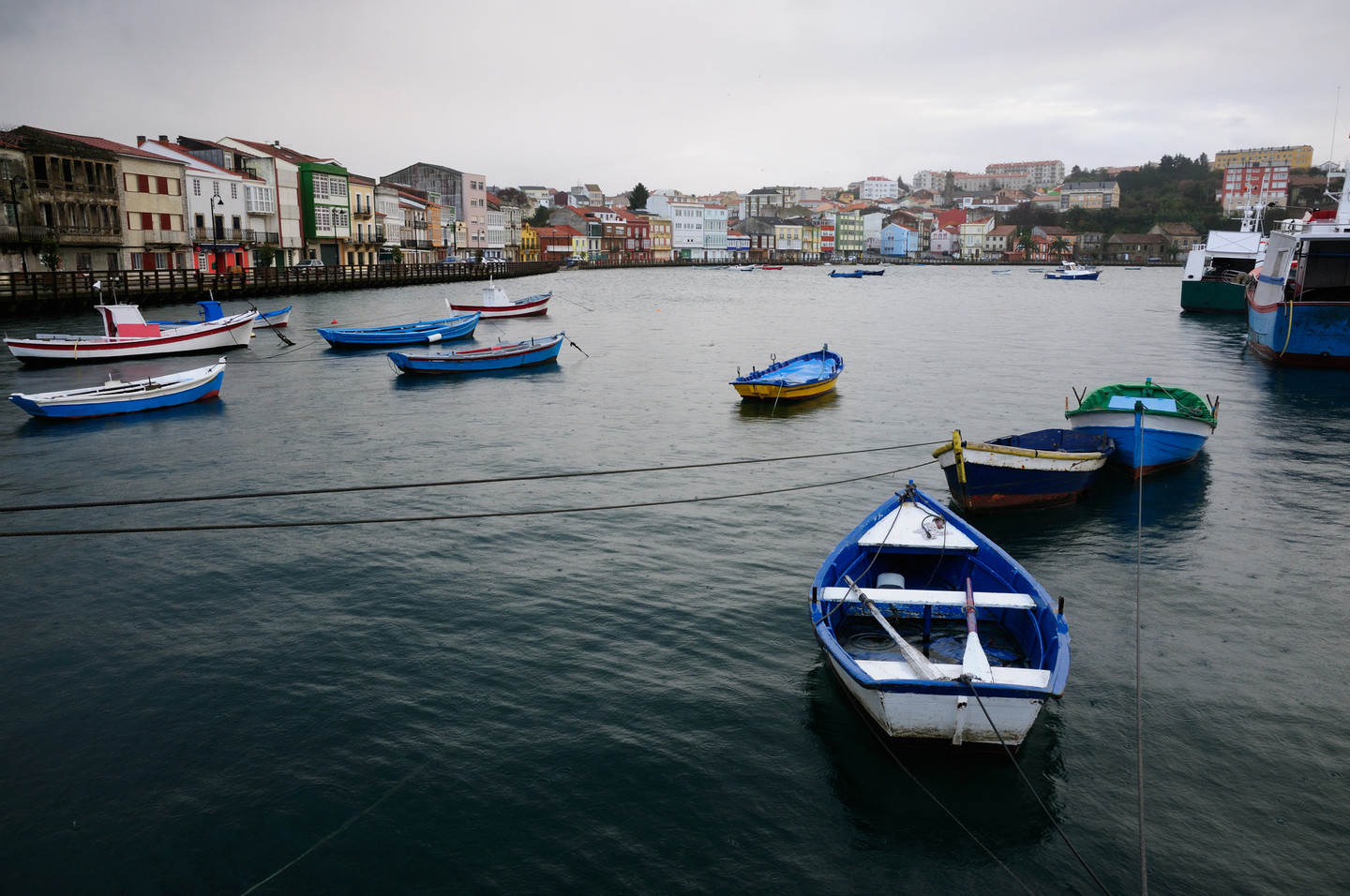 View of the ville of Mugardos
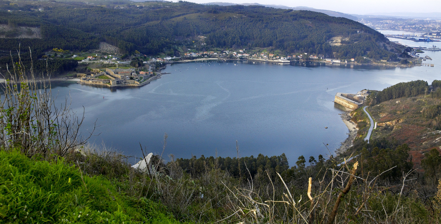
The Ártabro Gulf forms a sweeping curve that includes the A Coruña, Ares-Betanzos and Ferrol rías. Named Portus Magnus Artabrorum by Roman geographers, it today forms a natural space defined by the presence of the sea.
The route begins in the Royal Town of Mugardos, at the castle of A Palma, which dates back to the sixteenth century, although the present castle is a nineteenth century building. Together with the castles of San Felipe, San Martiño and San Cristovo, it formed part of the defensive system of the Ría de Ferrol, a place of strategic interest because of the presence of the military arsenal. The site was even defended with a heavy chain which crossed the ría from castle to castle to prevent the passage of enemy ships.
The lighthouse beside A Palma has a pleasant recreation area and offers great views of the castles on the banks of the ría. We then come to a path leading off towards the winding ascent to Montefaro de Ares at the far end of the fertile Bezoucos peninsula, a reference point on our journey.
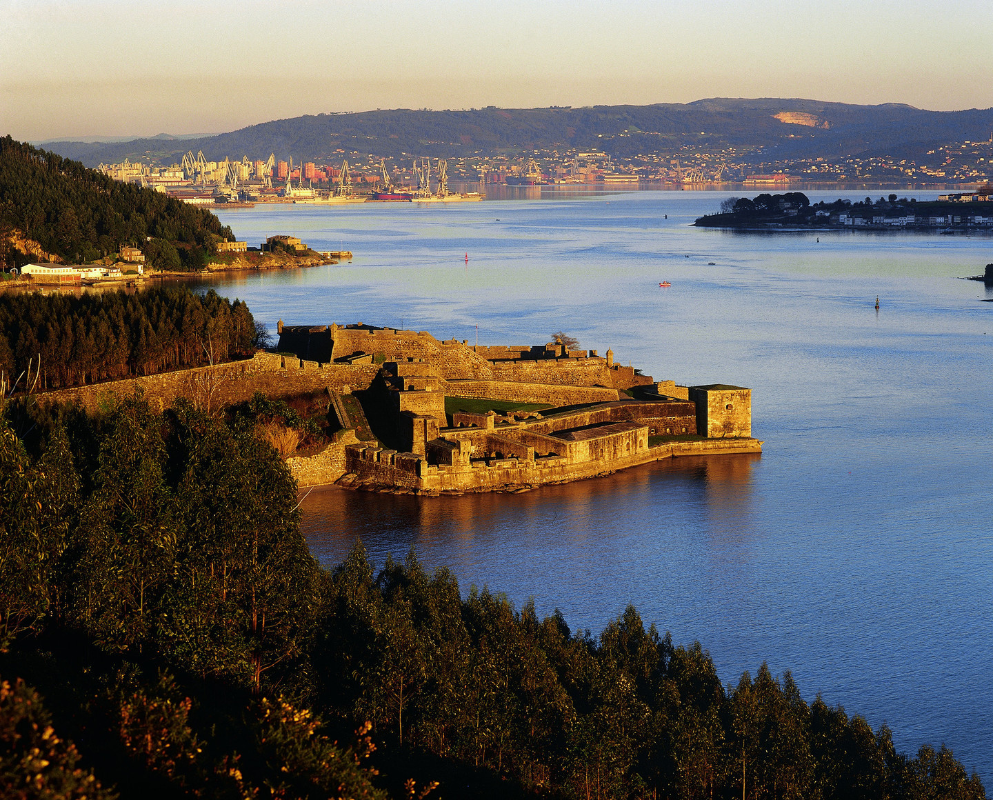 View of the Ferrol estuary with the castle of San Felipe
At the top of the mountain stands the Santa Catalina de Montefaro monastery, built in the fourteenth century by Fernán Pérez de Andrade, nicknamed “O Bo” (“the Good”). The Andrade dynasty was a noble Galician family with considerable influence in the county. The building contains a number of rooms and has undergone refurbishment, especially in the two surviving cloisters. Devoted to the Franciscan order, it retains a Gothic entrance with capitals portraying scenes from the life of Saint Francis of Assisi.
Montefaro also has various lookout points. The main and most accessible of these is at A Bailadora (266 metres), from which a large part of Ferrol and its ría can be seen, with fine views of the castles of San Felipe and Castillo de A Palma.
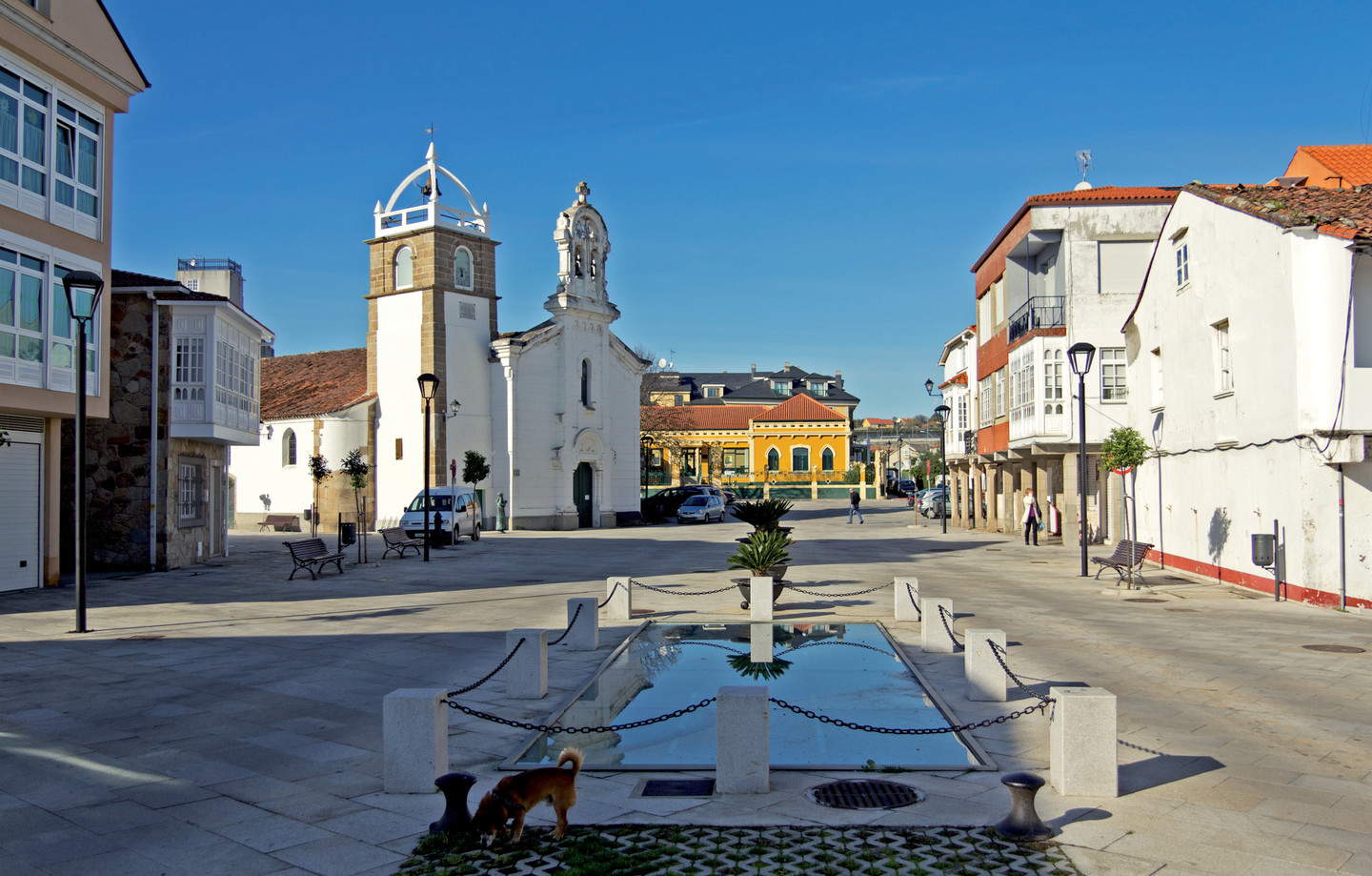 Place of A Igrexa, in Ares
Descending towards Ares, we find the church of Santa Olaia de Lubre, an unmissable jewel in the transition from the Romanesque to the Gothic.
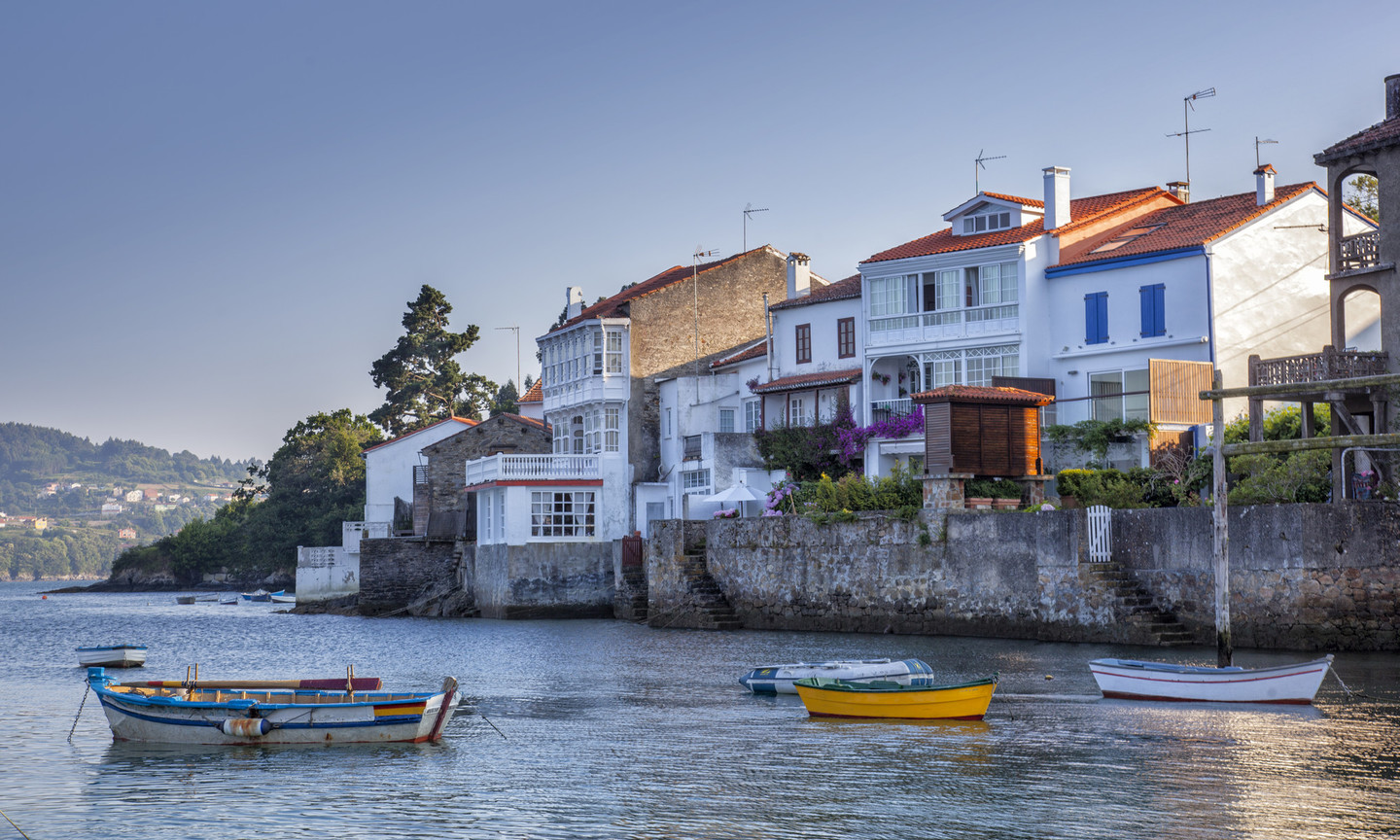
Ares is a maritime town. Its neatly laid out streets lead to San Xosé church, in the O Porto district, home to Alianza Aresana, the first school set up by Galicians returning from the Americas and a fine example of the architectural styles brought from the New World. The long beach leads to the harbour, in a lake-like inlet of calm water.
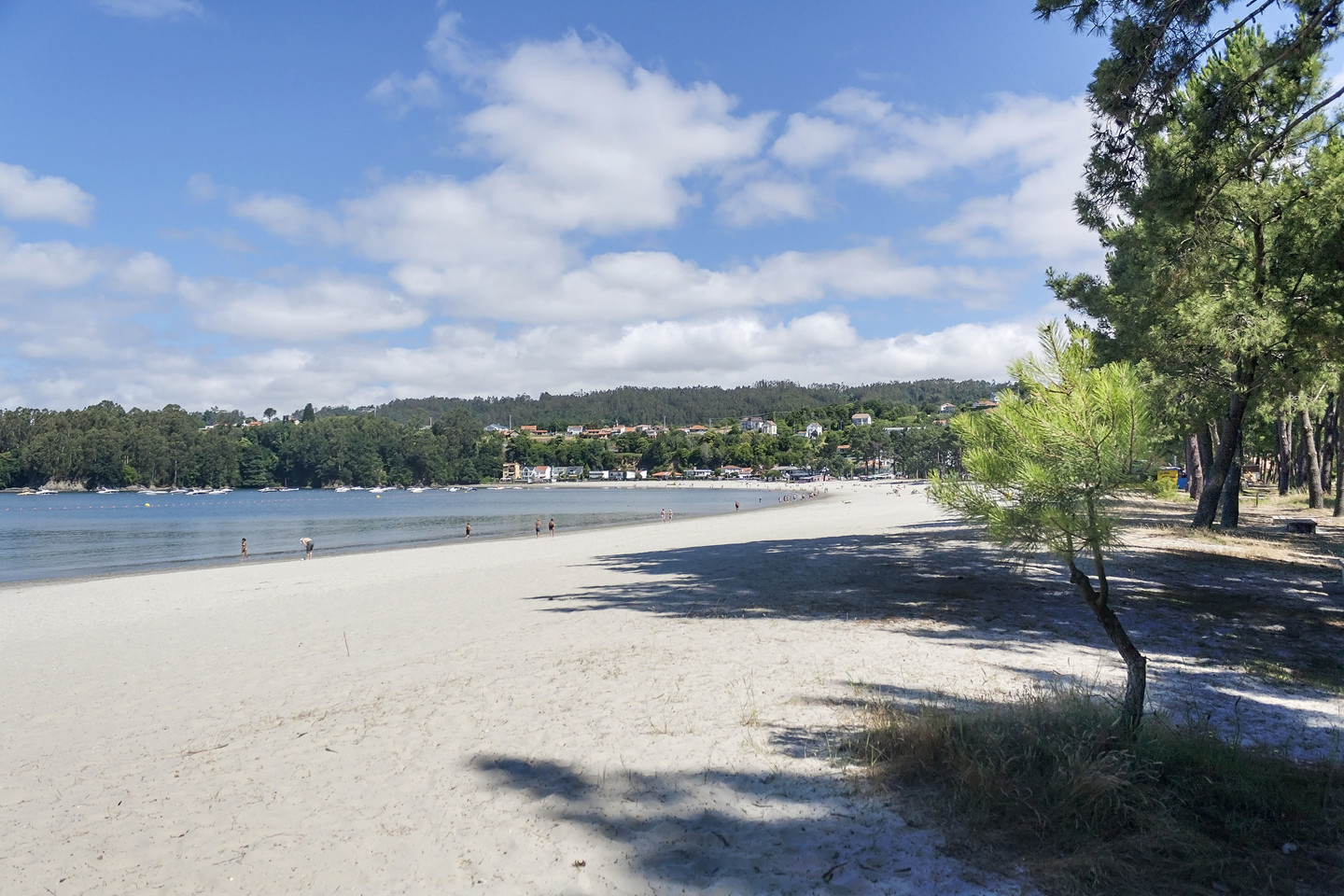 A Magdalena beach in Cabanas
The route continues to Redes and Pontedeume, which must be visited.
Between them, the A Magdalena beach is an excellent spot for leisure activities, thanks to its location at the end of the ría and its sunny orientation. Alongside its magnificent pine trees there is a copse of cork oaks, unusual at this latitude and indicative of the area’s gentle climate.
Five streets and two squares. That is Redes, a small village on the Ares coast which has a magnificently preserved layout with distinctive architecture from the Americas.Cuba had such a strong influence on emigrants from Redes that, when they returned to Galicia, they reproduced its aesthetic and architectural styles, and Redes is one of the best examples of this fashion in Galicia.
The Porto das Redes, as it was formerly known, owes its name to the wooden frames used to dry and repair nets.
The village’s maritime vocation is clear from its layout, giving the houses direct access to the sea, creating what has been referred to as a “Galician Venice”.
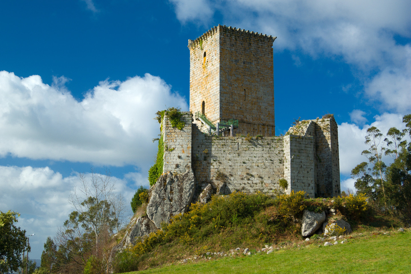 The castle of A Nogueirosa, in Pontedeume
The last part of the route is the ascent to the castle of A Nogueirosa.
Built in a strategic position on a crag, it is known in the area as Castelo de Andrade, as it belonged to this late mediaeval noble family. It is a small fortress but one with magnificent views. From the keep there are extensive views of the mouth of the Eume and virtually all of the Ría de Ares y Betanzos.
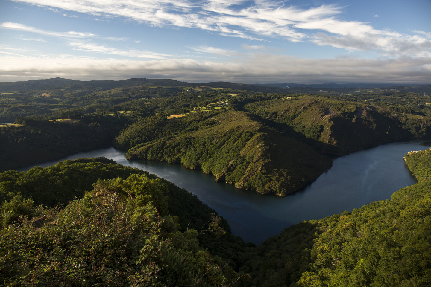
The Eume, Landro and Sor rivers rise in the O Xistral mountains.
According to the Legend of the Three Rivers, they sprang from the same source and competed with each other to see which of them would reach the sea first. Half way there the Landro and the Sor stopped to rest but the Eume continued, opening up a spectacular gorge. Because it broke the agreement, Antubel, Celtic goddess of water and shadows, punishes the Eume every year by making someone drown in its waters.
Don't Miss
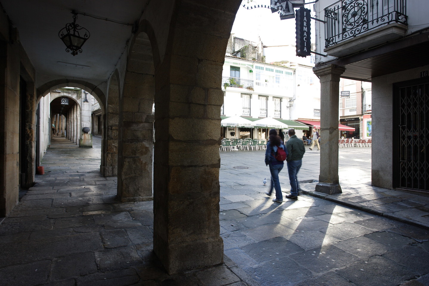 Center of Pontedeume
The bridge at Pontedeume is its raison d’être. The historical English Way to Santiago through As Mariñas crosses the River Eume at this point. Founded in the fourteenth century by Fernán Pérez de Andrade, it was redesigned in the nineteenth century.
The importance of the routes running through it and the lack of space between the slopes of Breamo mount and the banks of the Eume resulted in the town having a curious, north-facing layout.
The well-conserved town of the Andrade family still retains its mediaeval centre. Beside a wealth of popular architecture, there are many outstanding civil and religious buildings demonstrating the historical importance of the town, such as the eighteenth-century fish markets in the harbour, the seventeenth-century Cátedra de Latinidad, the sixteenth-century San Agustín monastery and the fourteenth-century Andrade Tower. Part of the noble family's estate, today the tower houses the town's Interpretation Centre. According to legend, for the family's security, a secret tunnel linked the tower to the castle of A Nogueirosa.
Pontedeume is also one of the gateways to the Fragas do Eume Natural Park. Because of the richness of its landscape, the county of Eumesa was declared a Historic-Artistic Site and Picturesque Landscape in 1971.
