Turismo de Galicia


-
Que faire
Chemin de Saint-Jacques
Nature
Culture et patrimoine
Mer et littoral
Circuits
- Top ten : dix lieux uniques
- Route du camélia
- Circuits touristiques
- Des sentiers à la découverte d’un pays
- Des itinéraires dont on tombe amoureux
- La Galice au volant
- Eurovelo Galicia
- Au-delà du coucher de soleil
Gastronomie
Tourisme de santé
PROMOTIONS DONT VOUS POUVEZ BÉNÉFICIER MAINTENANT
- Que visiter
-
Planifiez votre voyage
Préparez votre voyage
Renseignements pratiques


-
A miña viaxe
A MIÑA VIAXE
- Compartir
- Correo
- Imprimir
mailto:?subject=Envoi de contenu de Tourisme Galice : SENDA LITORAL DE BASOÑAS&body=Je vous recommande de lire les informations SENDA LITORAL DE BASOÑAS extraites du portail de Tourisme Galice https://www.turismo.gal/recurso/-/detalle/210511000269/senda-litoral-de-basonas?tp=40004370

Datos do recursos turístico
Accessibilité à considérer
Zonas de terreo esvaradío
Type
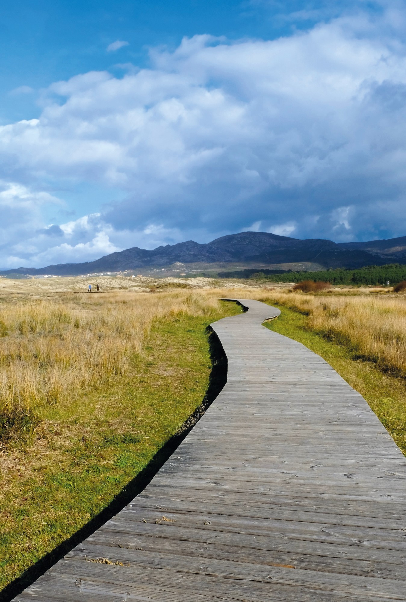
En contemplant la mer
Date de collecte initiale: 01/01/2021
