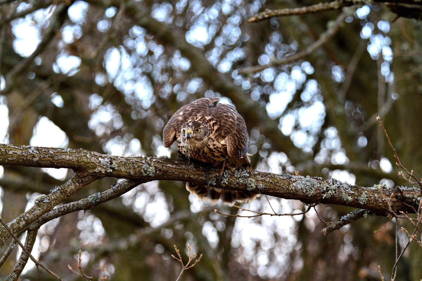
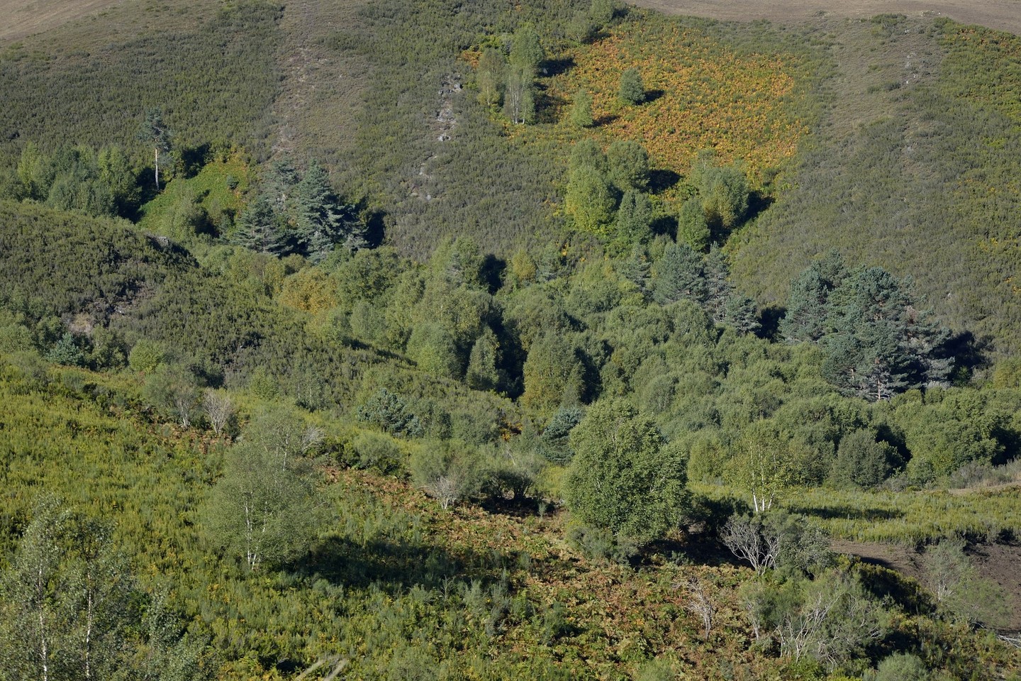
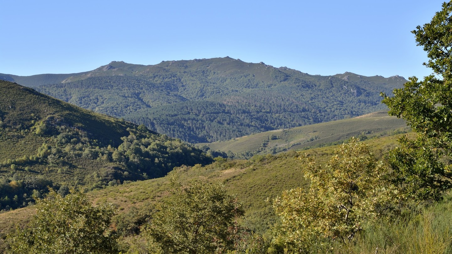
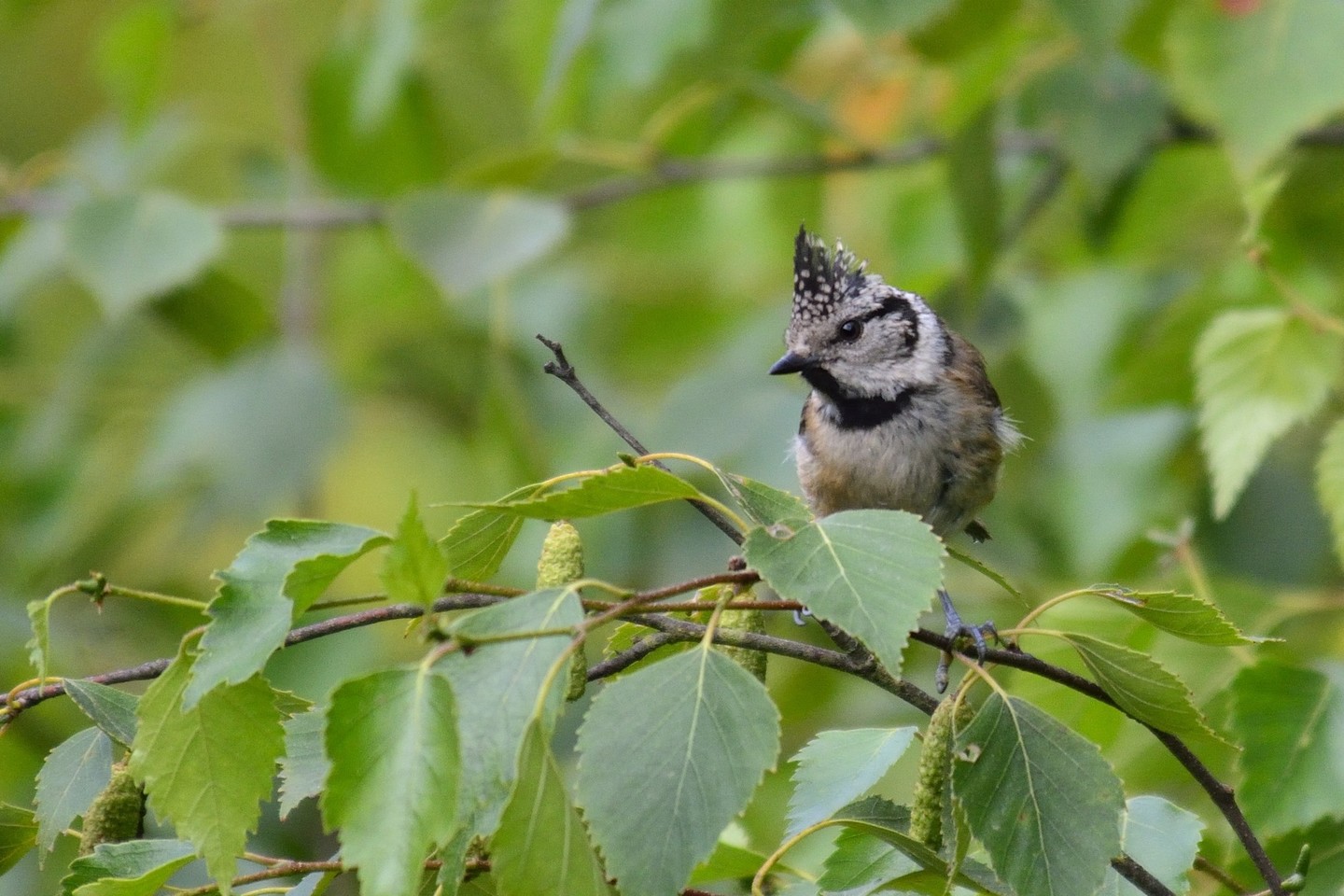
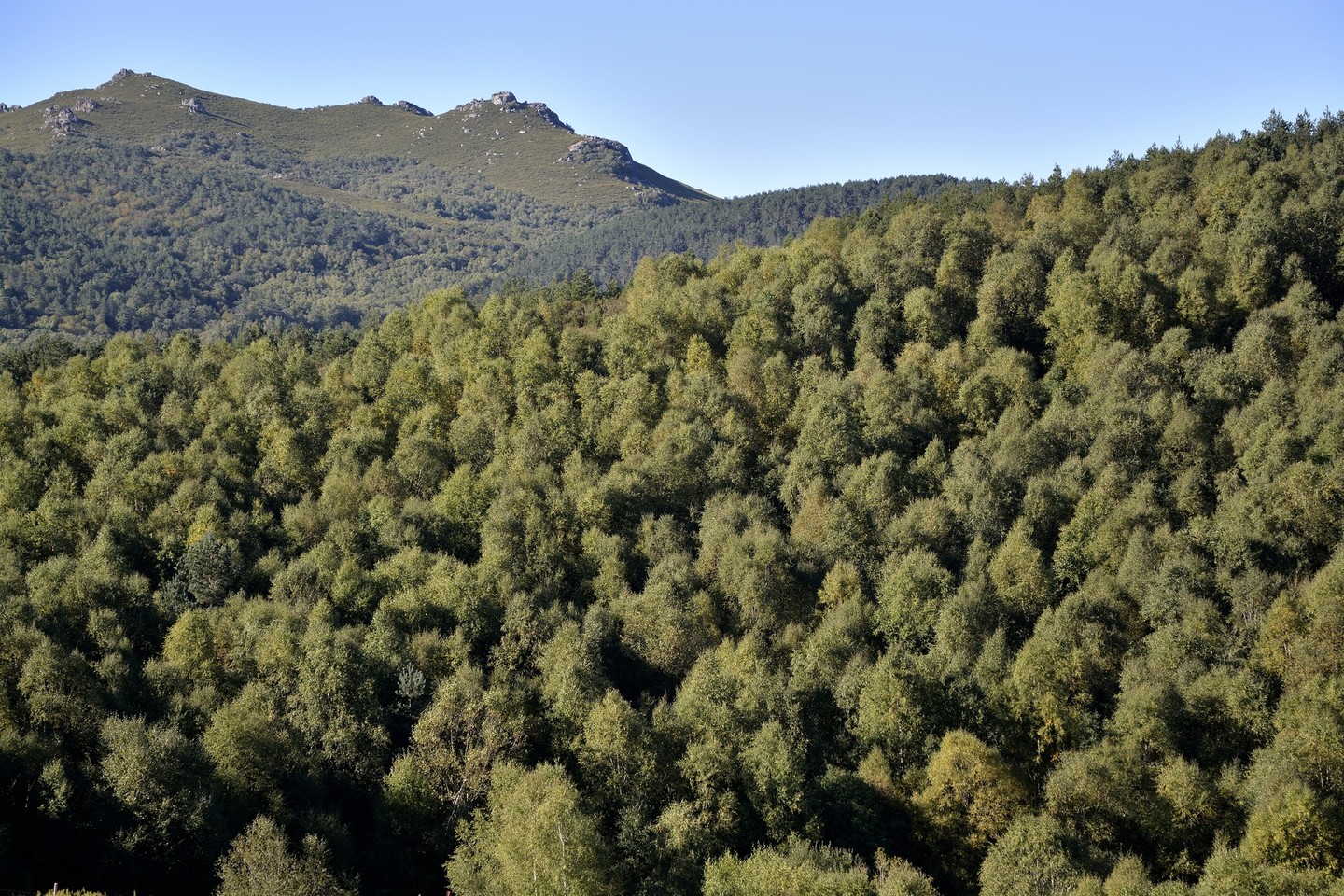
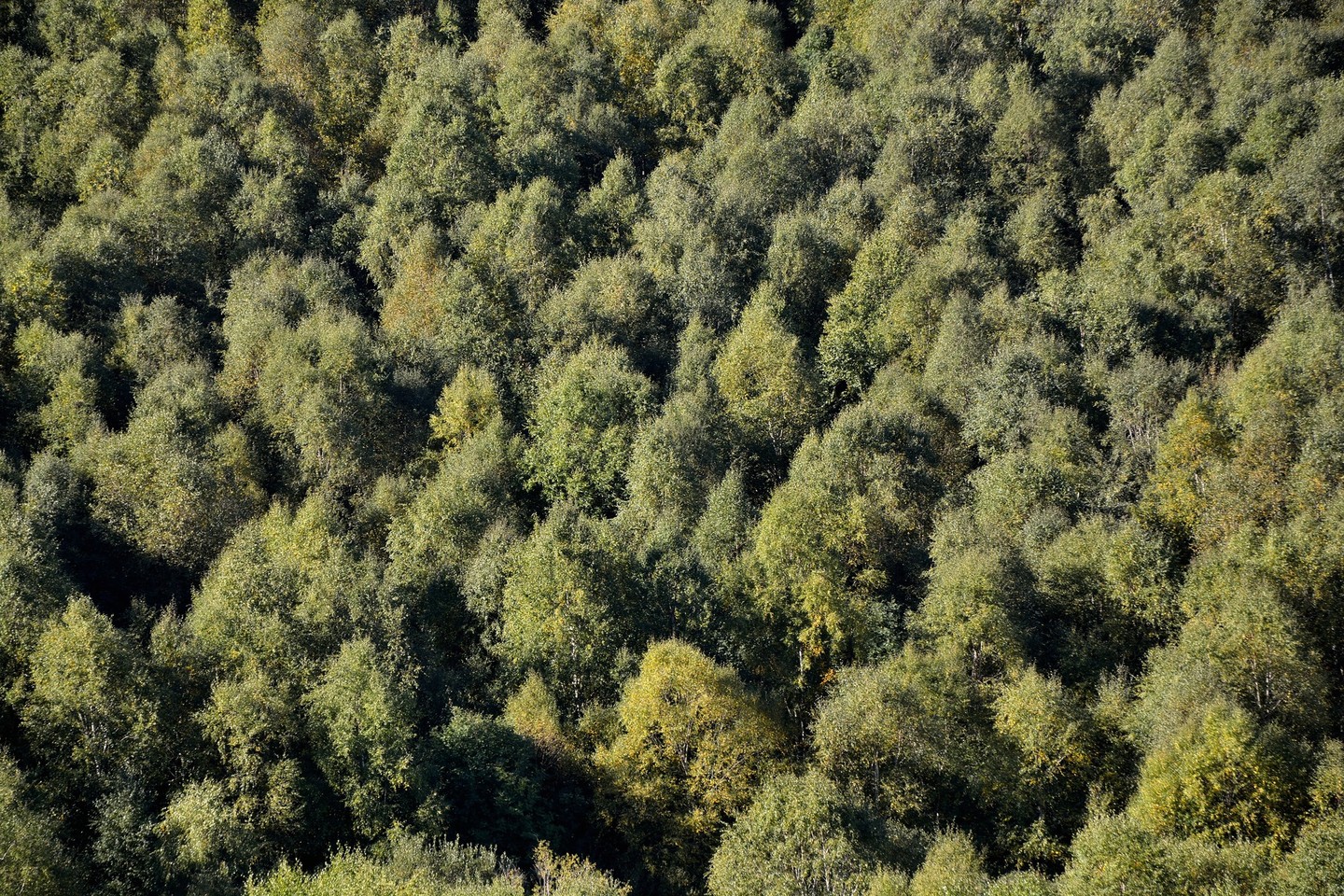
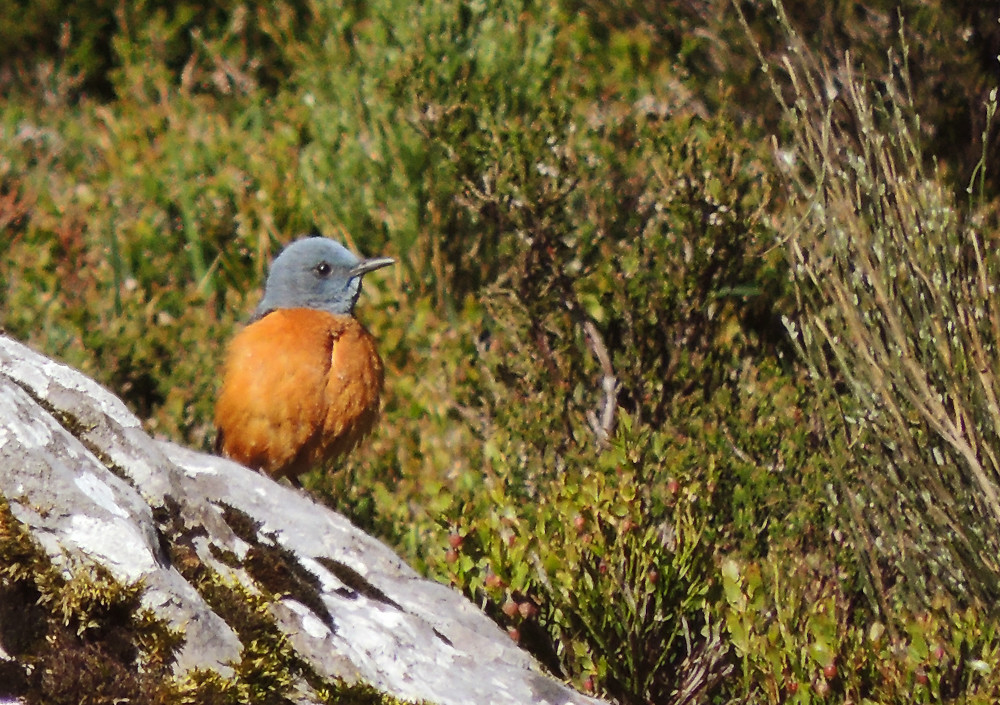
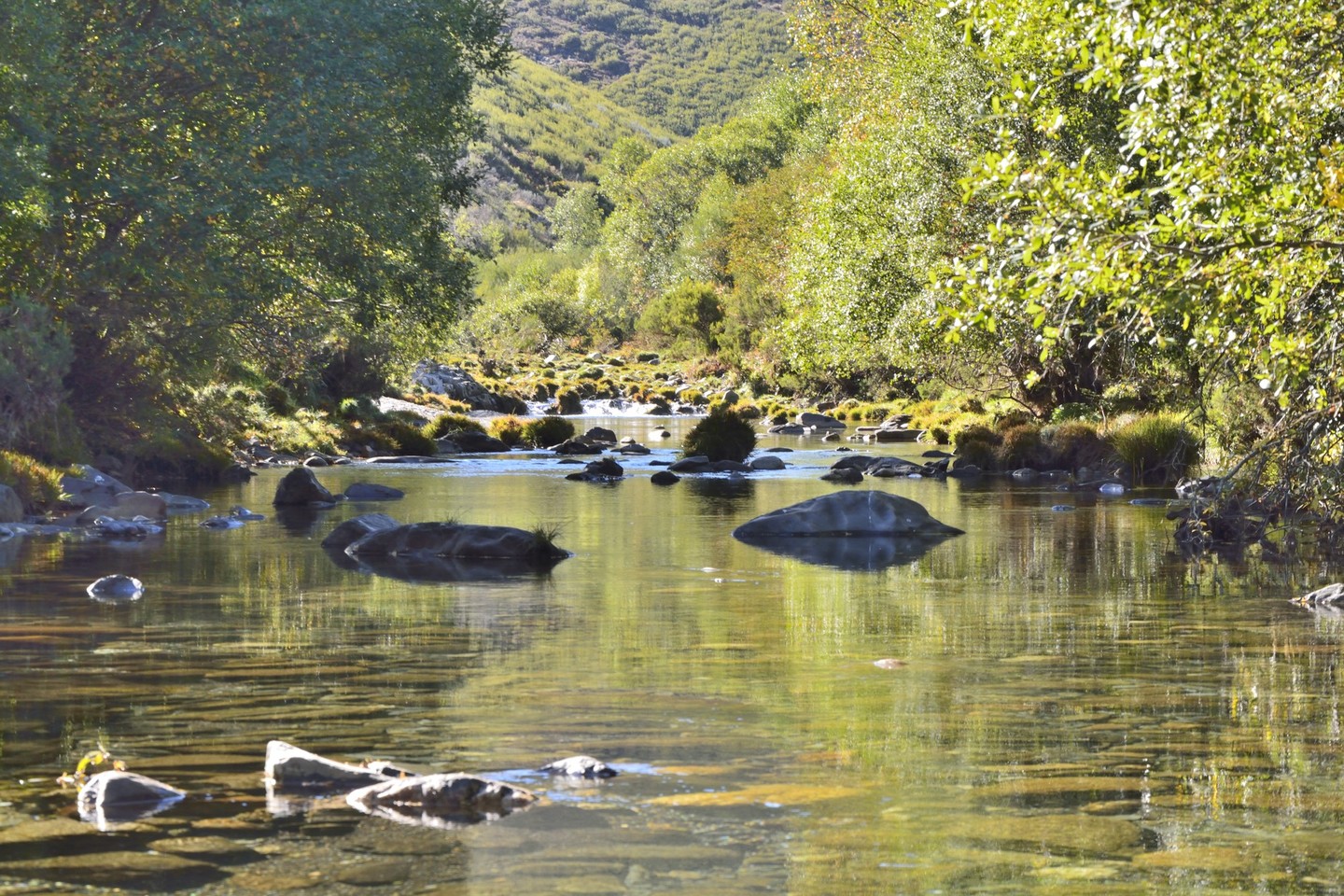
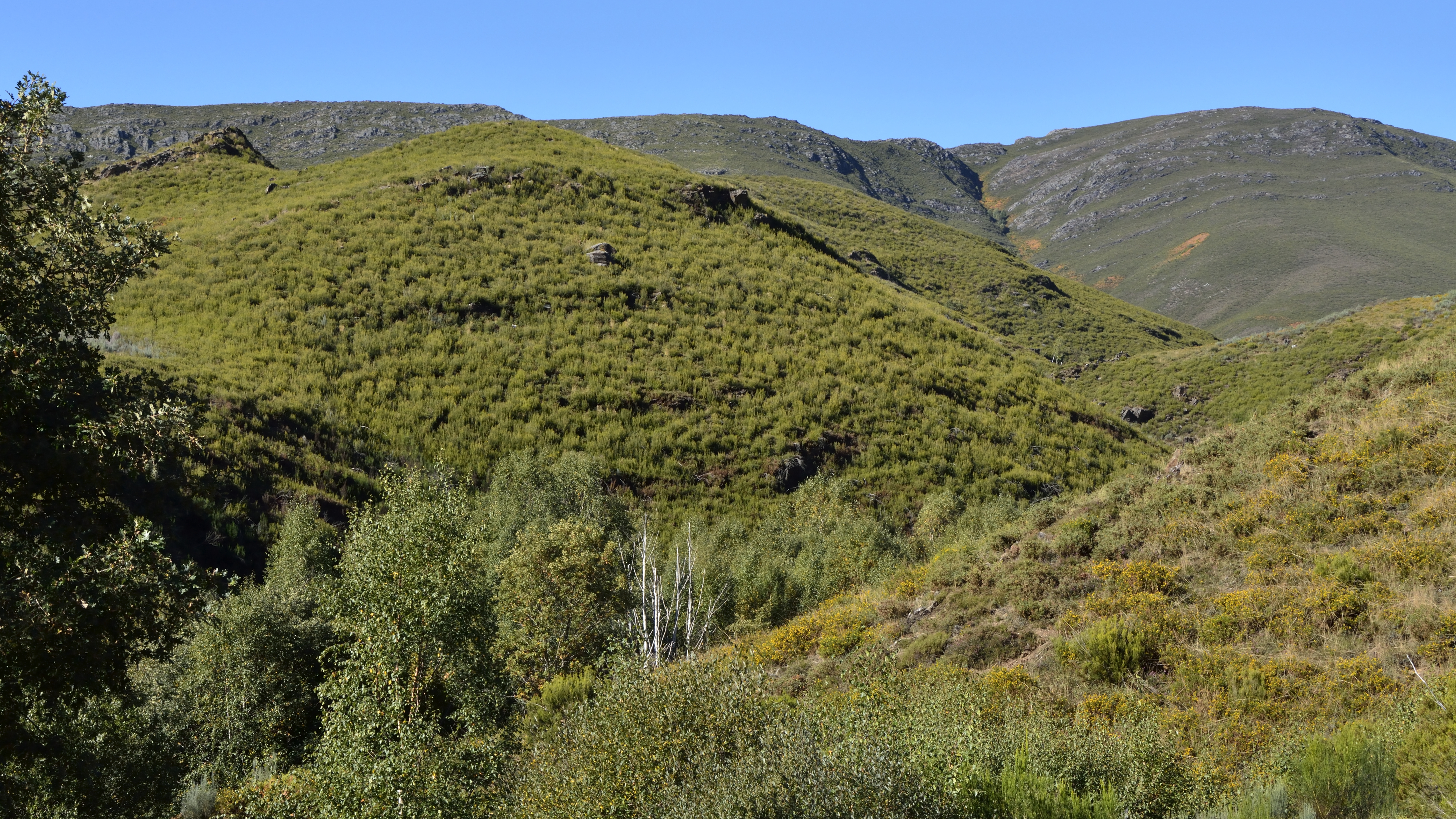
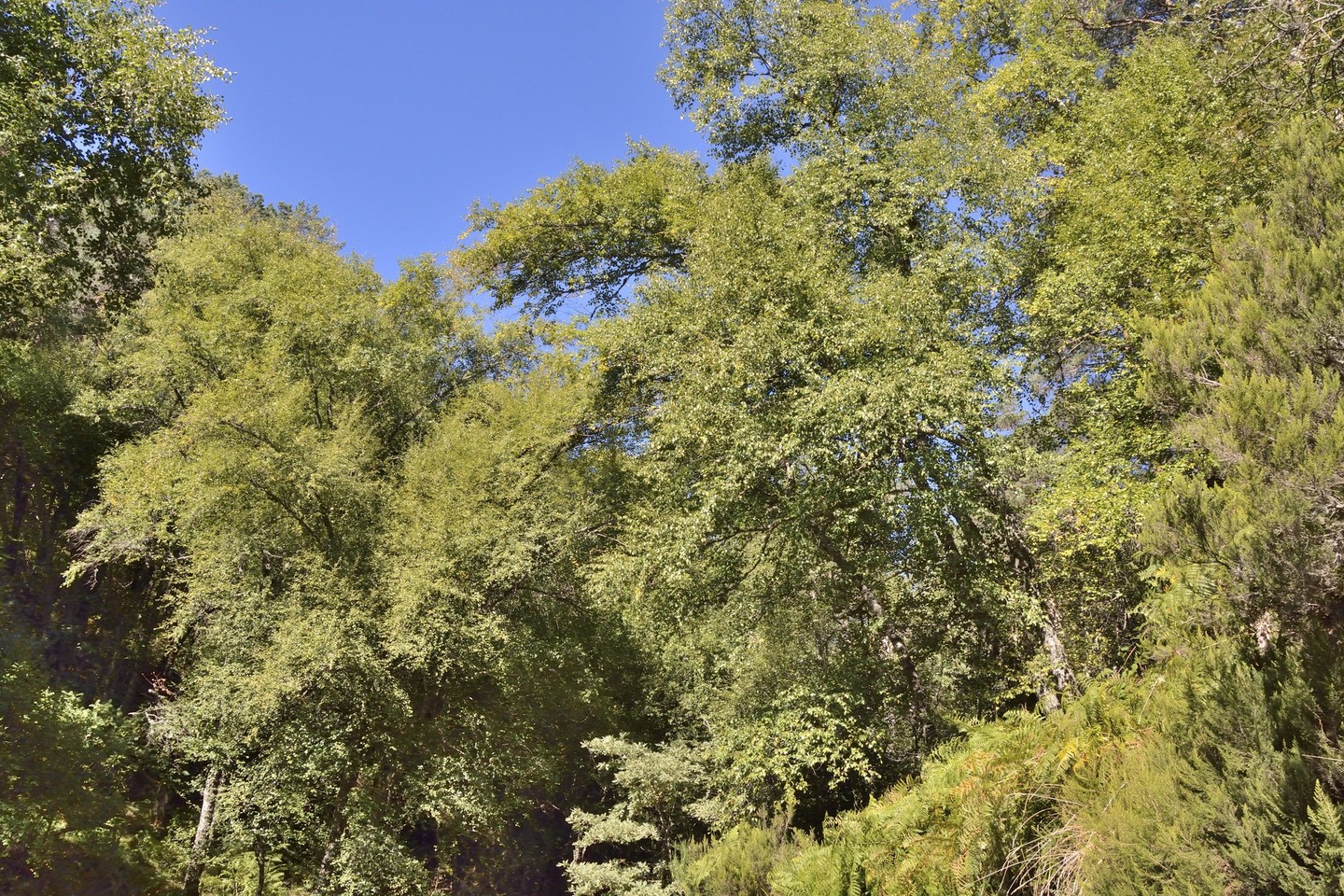
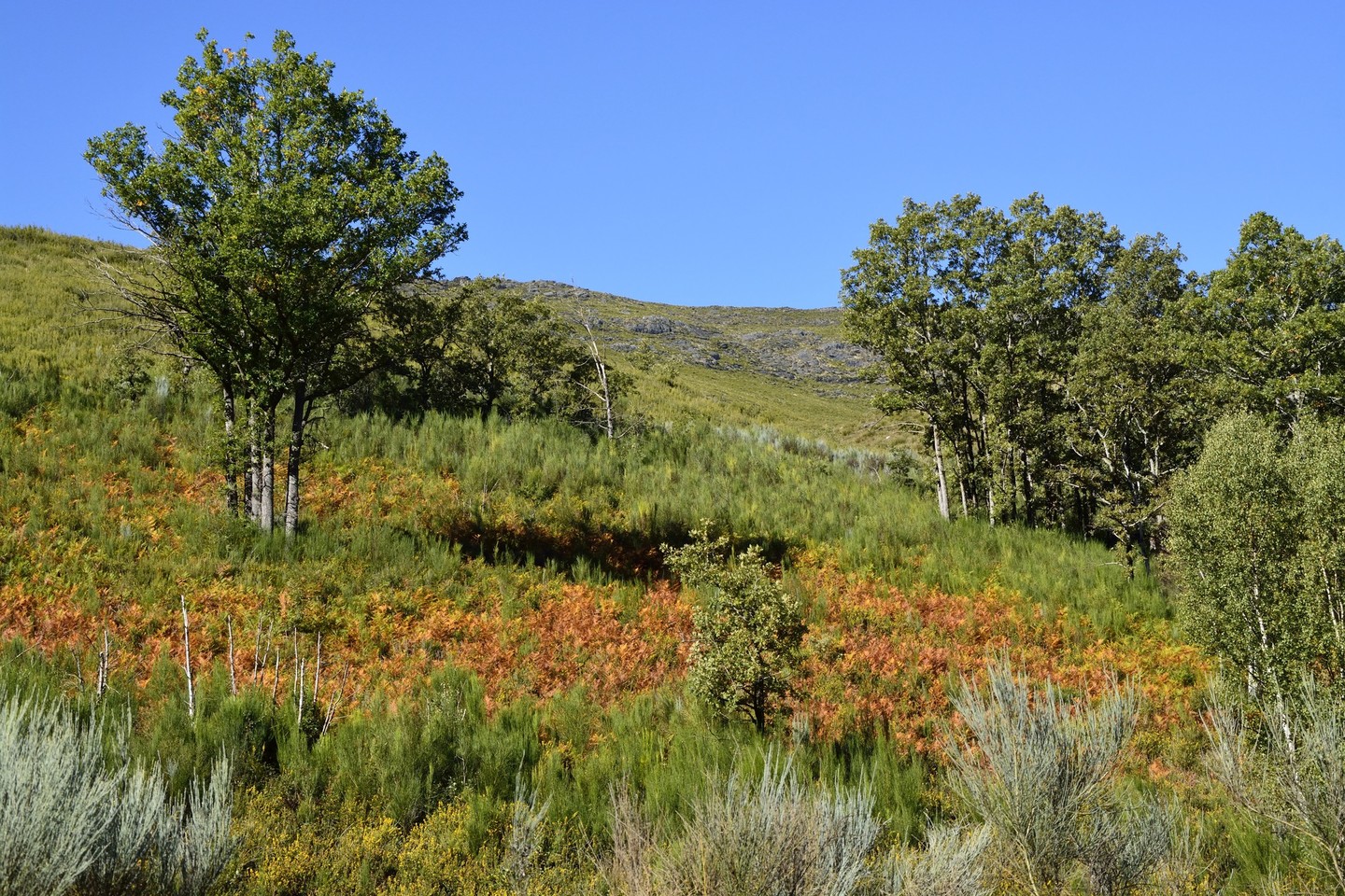
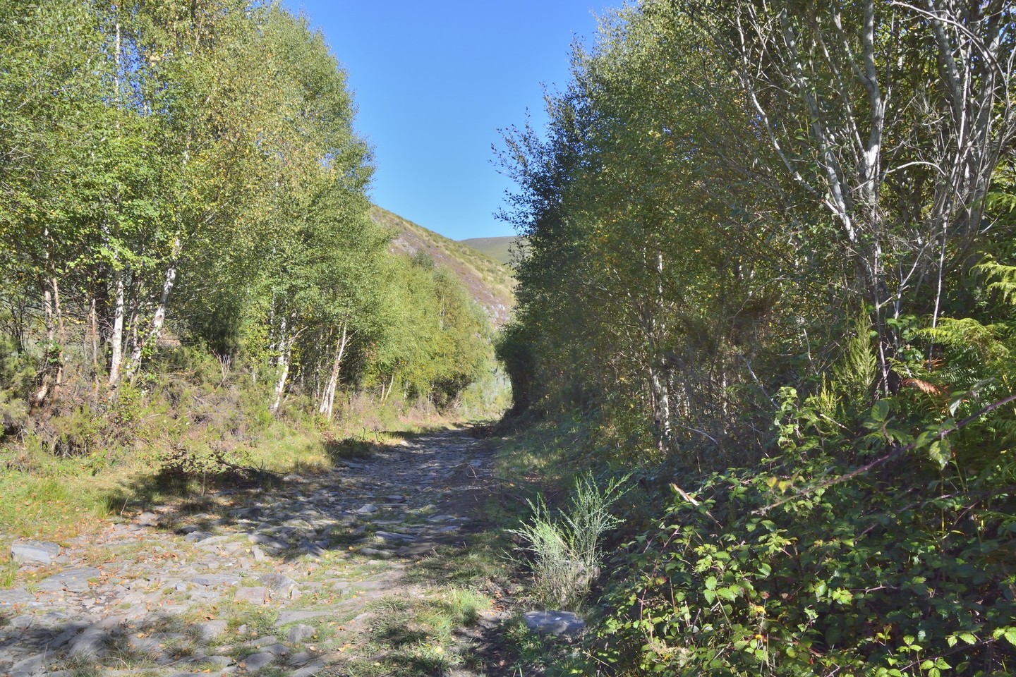
In middle of the province of Ourense, a discreet and little known mountain range hides away habitats in excellent condition and a unique forest: the Montederramo birches.

The discrete mountain range

Next to Ourense's Macizo Central, the San Mamede mountain range does not seem particularly noteworthy. However, it is an area of rugged and intricate mountains that shelters many natural treasures.

Its large and well-preserved habitats of scrub adjoin singular forests (particularly the Montederramo birches). In areas of lower altitude, the landscape is completed by the countryside mosaics of great natural and cultural value, dotted with some villages.

The routes

Route by car, bicycle or foot: Montederramo - Birches

BEST TIME

From March to September

DISTANCE

11 km, one way

DURATION

1 hour by car, 2.5 hours by bicycle, 4 hours on foot (one way)

DIFFICULTY

None

COUNCILS

Montederramo

PATH

Montederramo - Birches

Key points on the route:

  1. The first section up to A Mogaínza is paved, so the route can be undertaken both by car and on foot. From Montederramo (1) to Gabín (2) the route runs through an extraordinary landscape in which common buzzard, eurasian sparrowhawk, song thrush and spotless starling can be seen, among others.
  2. From Gabín to A Mogaínza, it crosses a wooded area (3) where the short-toed treecreeper, eurasian nuthatch and northern goshawk are common.
  3. From A Mogaínza, the route runs through a mountain area where there are short-toed snake eagles, northern harriers and golden eagles.

Route on foot or by bicycle: Alto de Montederramo - Birches

BEST TIME

From April to September

DISTANCE

13,4 Km

DURATION

5 hours on foot, 2.5 hours by bicycle

DIFFICULTY

Medium

COUNCILS

Maceda, Montederramo, Vilar de Barrio

PATH

Alto de Montederramo - Birches

Key points on the route:

  1. From the entrance to the birch forest (1) the route heads into the mountains. Pay attention to forest birds such as the great spotted woodpecker, firecrest and european crested tit.
  2. In the higher areas (2) look for golden eagles, northern harriers, common kestrels and short-toed snake eagles.

Route on foot or by bicycle: Queiza river - Ferrería - Edreira

BEST TIME

From April to September

DISTANCE

10 km, one way

DURATION

4 hours on foot and 1.5 hours by bicycle (one way)

DIFFICULTY

Medium

COUNCILS

Chandrexa de Queixa, Laza, Montederramo

PATH

Queiza river - Ferrería - Edreira

Key points on the route:

  1. The route runs to the left of the Edreira river (1), where forest birds such as the long-tailed tit, short-toed treecreeper, great spotted woodpecker eurasian nuthatch and song thrush can be seen.
  2. In areas of scrubland and rocks (2) common kestrel, short-toed snake eagle, golden eagle, northern harrier and rufous-tailed rock thrush can be seen, among others.
The birds

Forest birds, such as the northern goshawk and european honey buzzard, and species typical to shrubs such as the northern harrier, are still common in the mountains. Others, such as the golden eagle, are rarer but still visible in certain areas.

Tips and resources
  • You are in a mountain area and so should not go on treks on foot, especially ascents, unless you are in good physical shape and have experience in terrain of this type. It is important to always check the weather forecast. 

  • The roads are narrow and winding so pay attention when driving. In autumn and winter, conditions can be dangerous or even make certain sections impassable. 

  • Forests and other habitats are sensitive: never roam off the marked paths and roads. 

  • It is common on trips to find cattle, since they are the livelihood of many people. Do not bother them and give them the right-of-way. 

Arriba