Turismo de Galicia

-
Was man tun kann
Der Jakobsweg
Natur
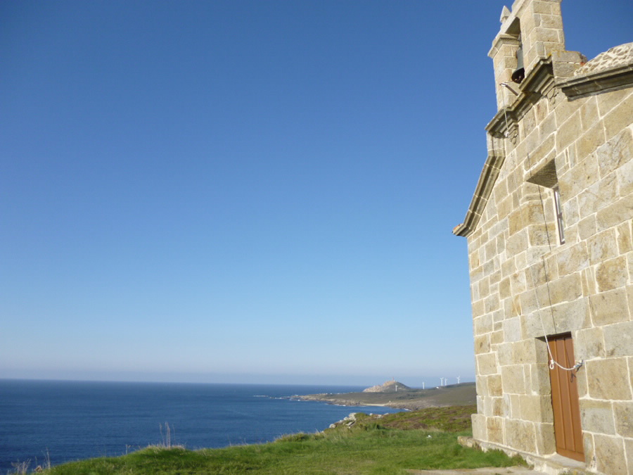
Kultur und Kulturerbe
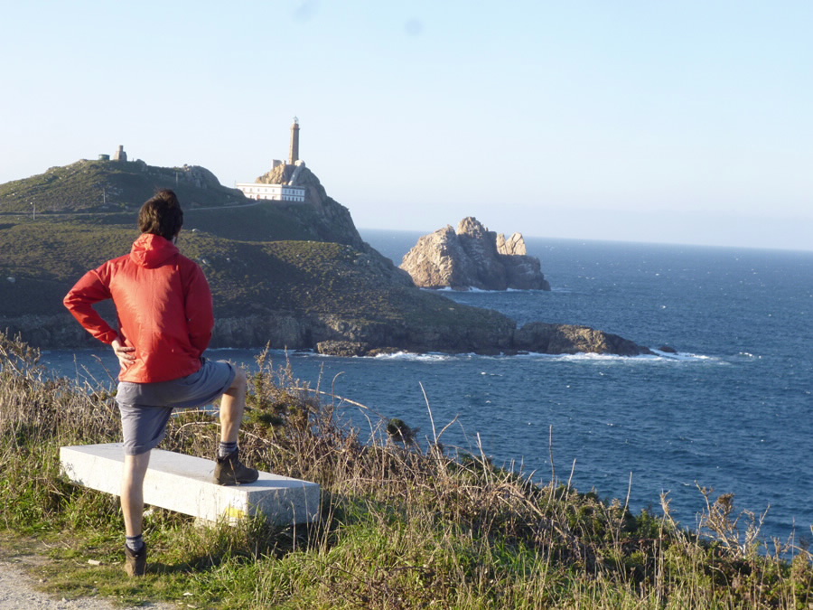
Meer und Küste
Reiserouten
- Top Ten: zehn einzigartige Orte
- Die Route der Kamelien
- Routenvorschläge
- Wege zur Entdeckung eines Landes
- Spaziergänge zum Verlieben
- Galiciens Landschaften mit dem Auto erkunden
- Eurovelo Galicia
- Hinterm Horizont
Gastronomie
Gesundheitstourismus
ANGEBOTE, VON DENEN SIE BEREITS JETZT PROFITIEREN KÖNNEN
- Was man besichtigen kann
-
Planen Sie Ihre Reise
Wir schlagen vor
PROGRAMME, DIE SIE BEZAUBEM WERDEN
Entdecken Sie diese hierAndere Nutzer empfehlen...Erstellen Sie Ihre Reise
Praktische Information


-
A miña viaxe
A MIÑA VIAXE
- Compartir
- Correo
- Imprimir
mailto:?subject=Versendung eines Inhalts von Galizien Tourismus: PR-G 158 RUTA DA COSTA DA MORTE&body=Ich empfehle Ihnen, die aus dem Portal von Galizien Tourismu auf der Seite https://www.turismo.gal/recurso/-/detalle/150602000013/pr-g-158-ruta-da-costa-da-morte?tp=6%26ctre=23 entnommene Info PR-G 158 RUTA DA COSTA DA MORTE zu lesen

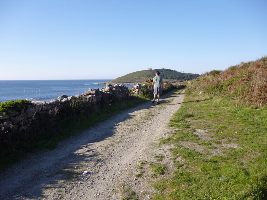
Datos do recursos turístico
Distanz
Schwierigkeitsgrad
Mittel - Shewierig
Dauer
M.I.D.E.
Anstrengung M.I.D.E.:
Strecke M.I.D.E.:
Reise M.I.D.E.:
Umgebung M.I.D.E.:
Zufahrt für Fahrräder
Auf der ganzen Strecke möglich
Zugang für Pferde
Auf der ganzen Strecke möglich
Cartografía I.G.N. (1:25:000)
189-I Torbeo, 189- II Quiroga, 189-III Castro Caldelas.
Art der Tour
Kleine Tour
Interesse
Historisches Interesse
Interesse am Naturalismus
Interesse an der Landschaft
Laden Sie die Koordinaten der Sehenswürdigkeiten herunter, die wir Ihnen vorschlagen. ...
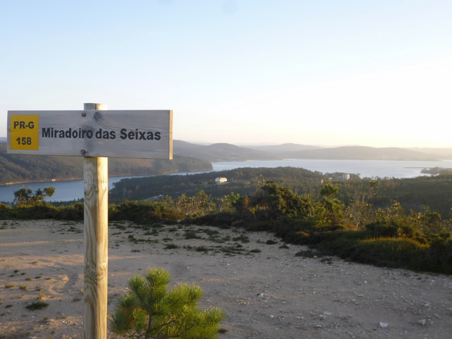
Karte

Datum der ersten Erfassung (?): 01/08/2019
