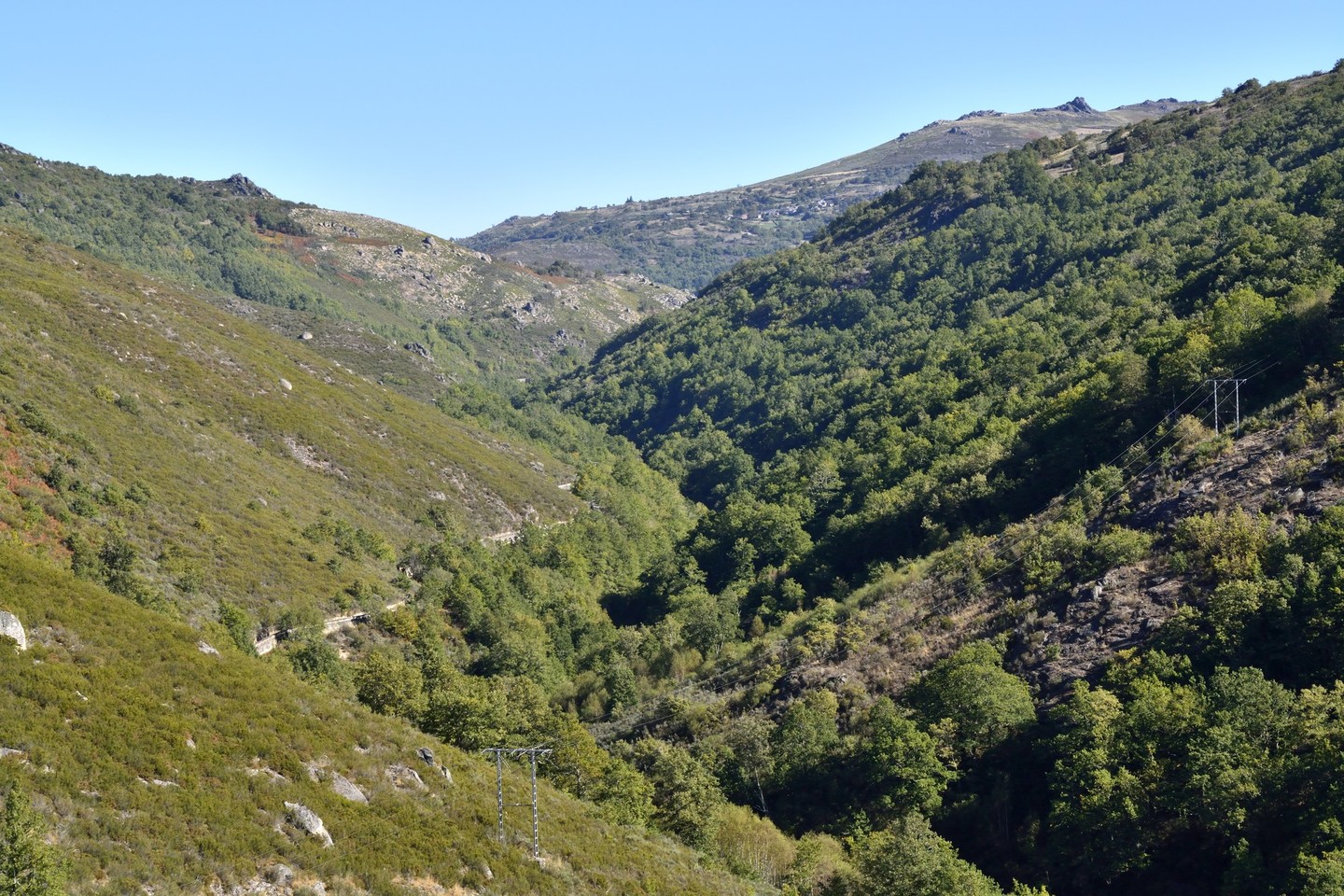
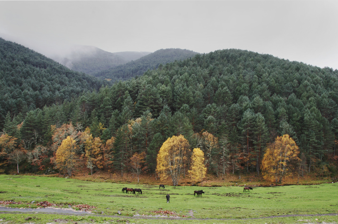
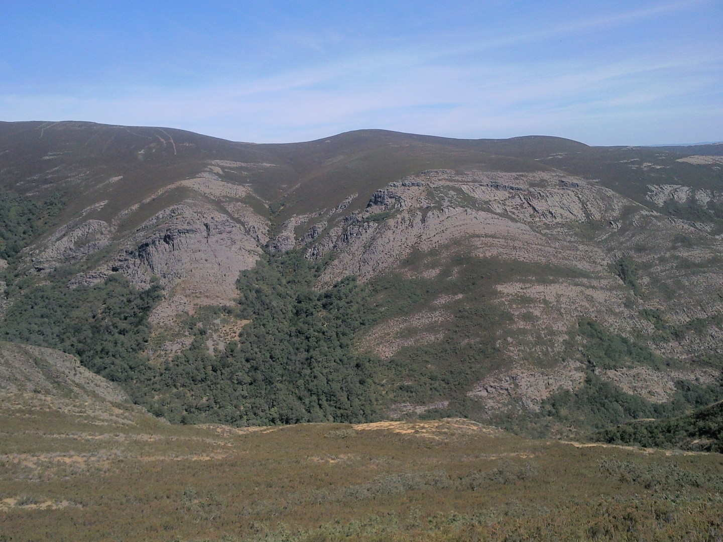
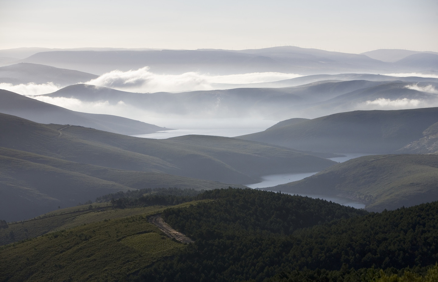
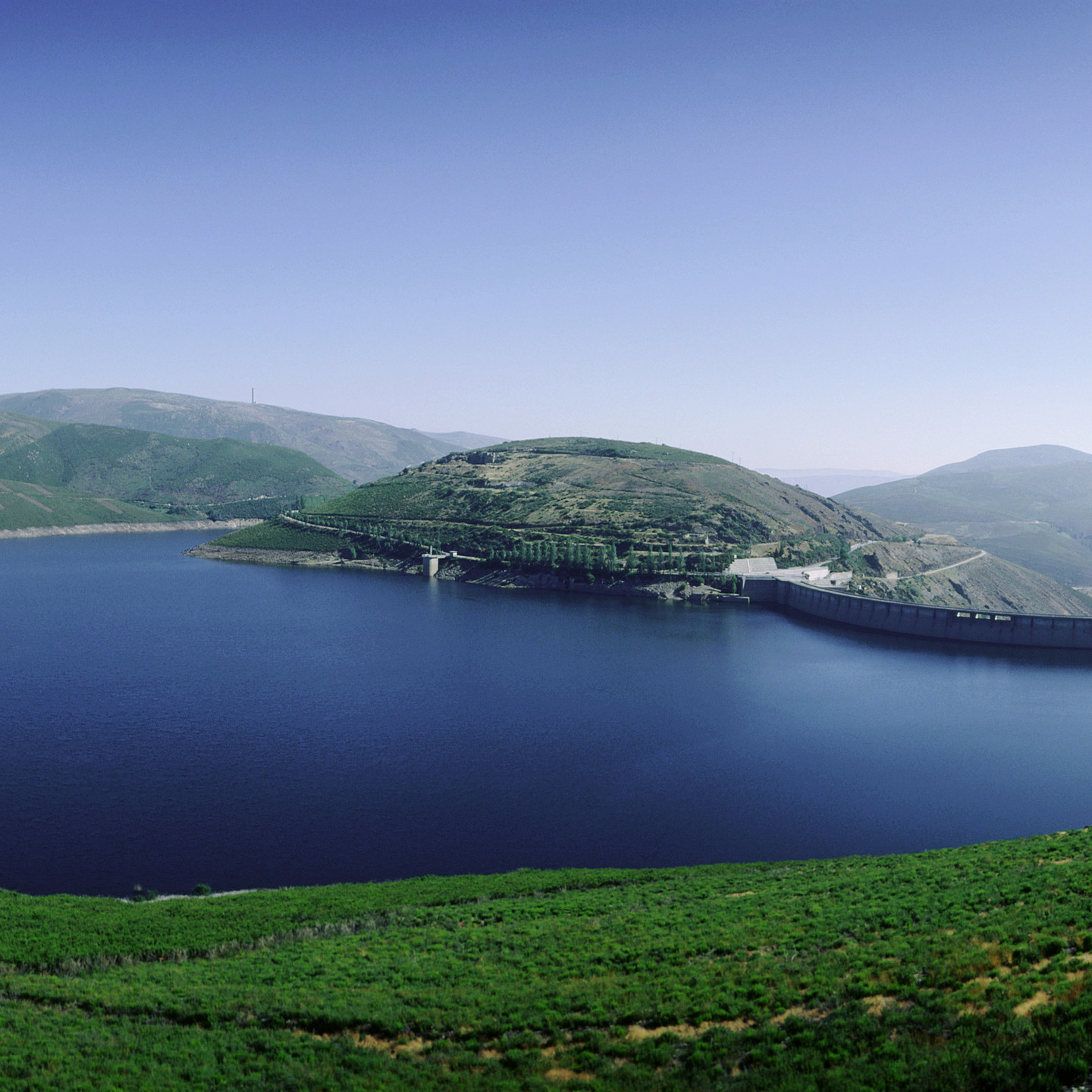
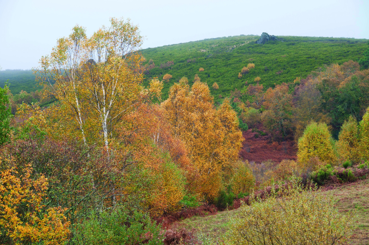
In Ourense – between the Chandrexa de Queixa and the Portas reservoirs – the Macizo Central occupies more than 46,000 barely populated mountainous hectares. It is the habitat of the wolf, the boar, the deer... And of botanical surprises such as one-of-a-kind forests of birch and holly.

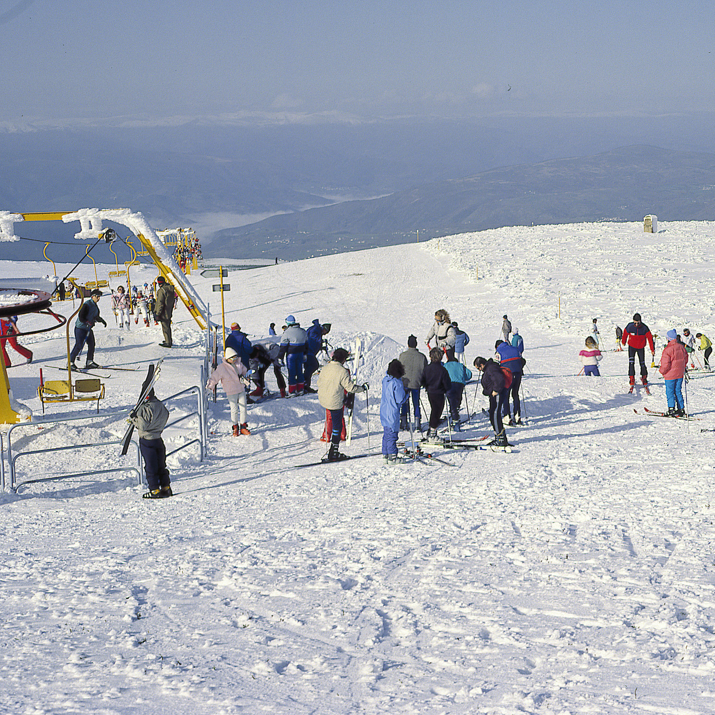
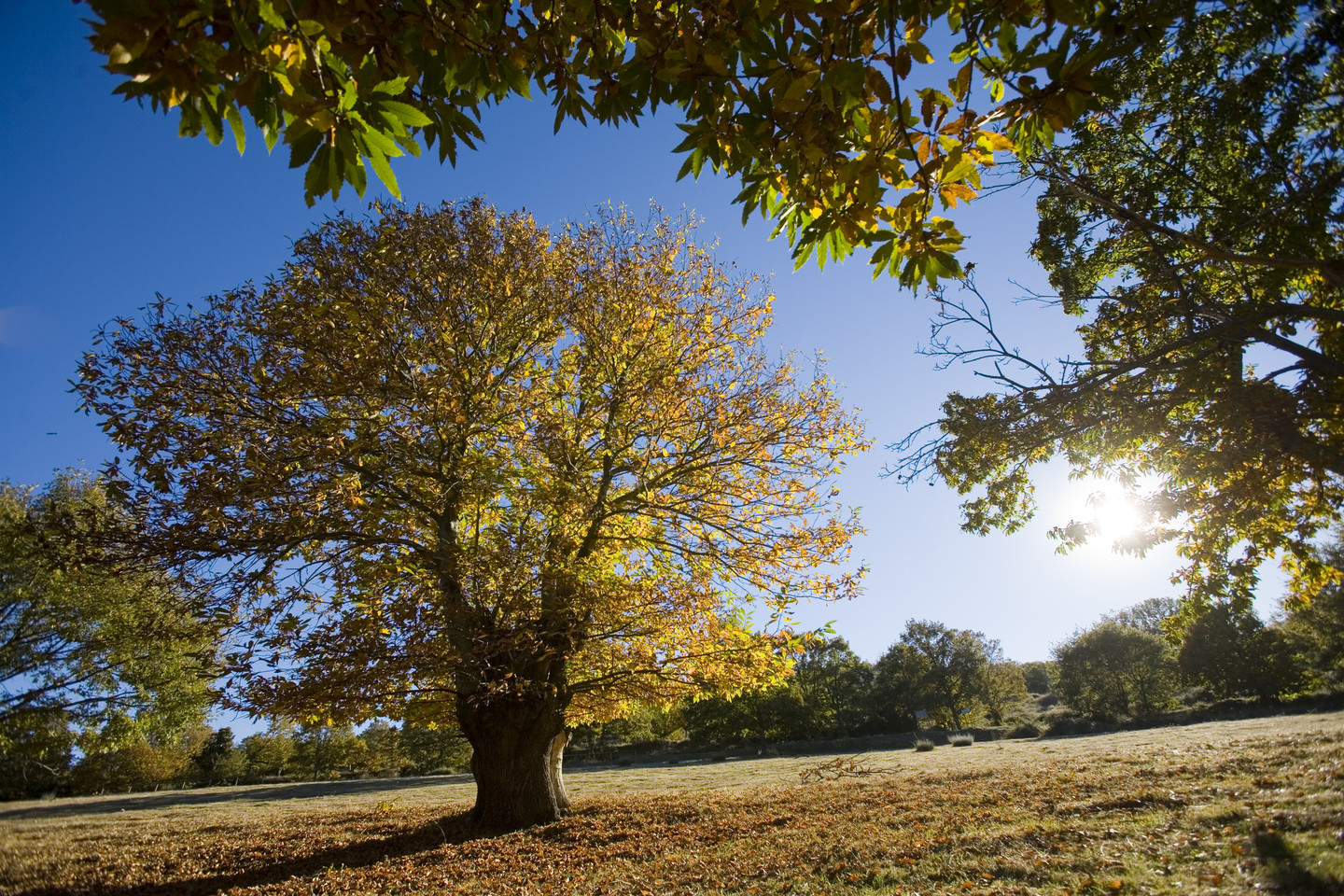
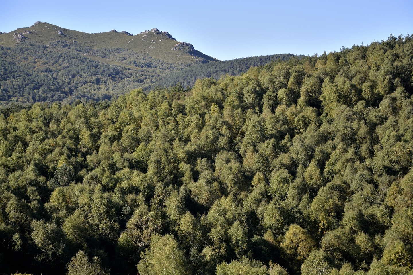
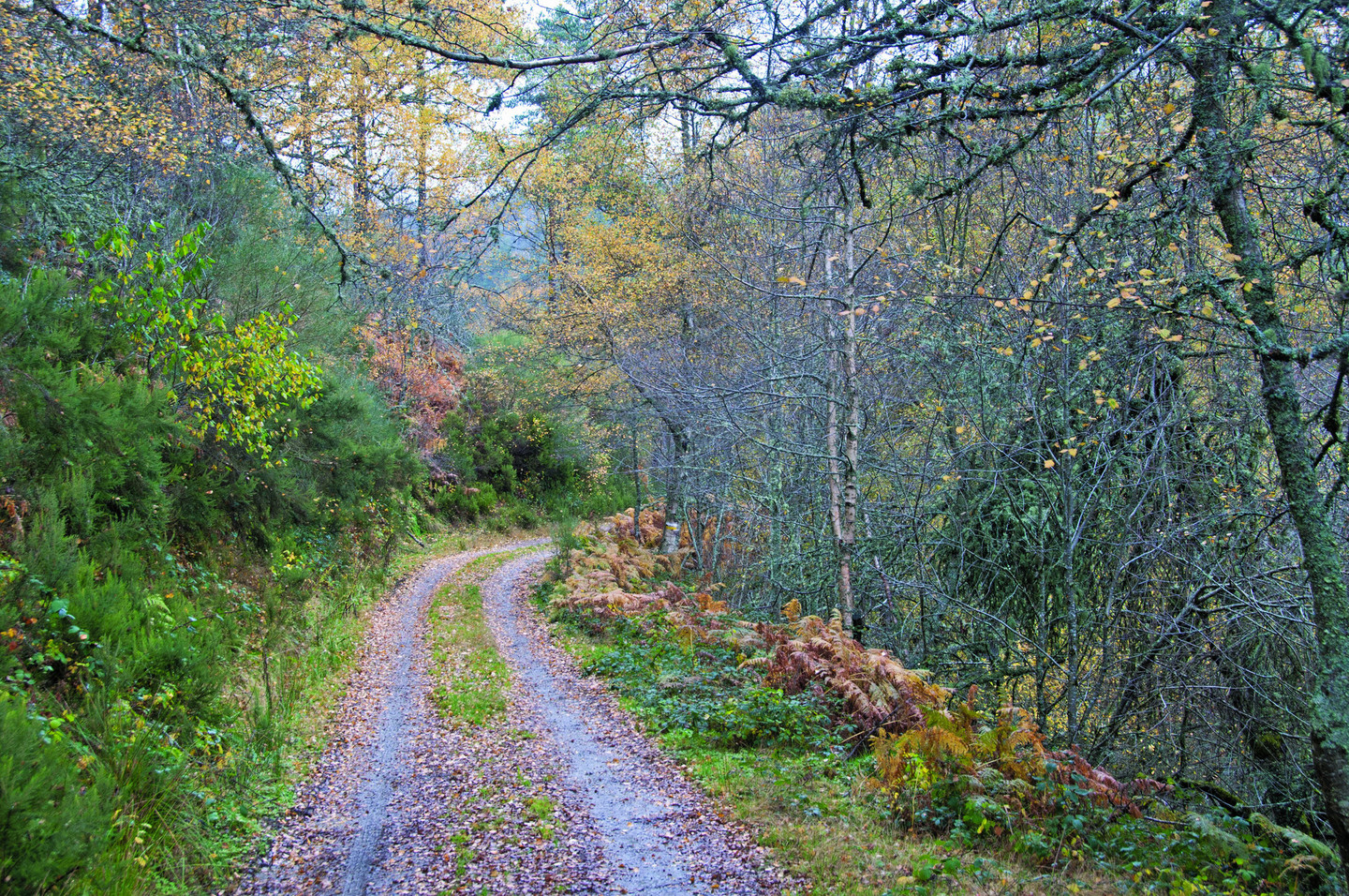
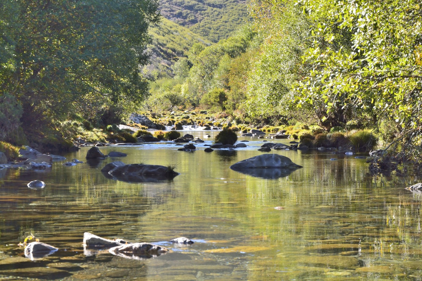
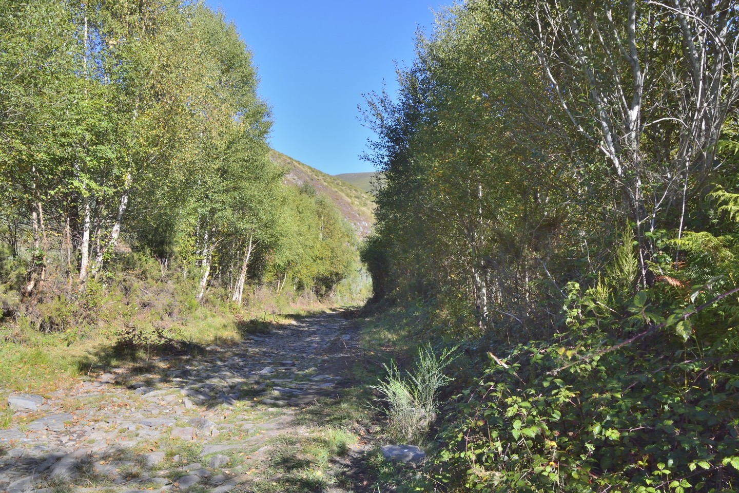
The only ski resort in Galicia –  Cabeza de Manzaneda – is located in the Macizo Central. As are virtually untouched nature reserves, such as the Natural Park O Invernadeiro, the valley of the River Návea or the Souto de Rozavales, a forest of centuries-old chestnut trees.

In the land of O Bolo, the spectacular canyon of the River Bibei, with vineyards on a slope as steep as 50% and where the majestic Baroque shrine of As Ermidas stands. And in the middle of Ribeira Sacra, Montederramo with its monastery and its enigmatic "bidueiral" – a dense forest of ancient birch trees full of ferns and lichens where, apparently, Blanco Romasanta – the famous Galician werewolf – used to hide.

Description

The Central Massif covers a large mountainous area with no actual population, which makes it possible to preserve important transition ecosystems. These sierras are perfect for wolves and their main preys: roebucks, deers and wild boars. There are also botanical surprises such as unique holly bushes and birches, with a vegetation often oriented towards the creation of pasture for cattle. Traditional pasture grazing is still used in the mountain villages.

This is a land exposed to the slow changes of nature and tradition. For example, the century-old chestnuts that renew their sweet, tender fruits year after year, or Roman bridges that can still be crossed by cars. This is what the inner province of Ourense looks like, with summits bringing together the rough enchantment of the stone and the sweetness of huge rounded volumes. The highest point of the Serra de Queixa is the only Galician winter sports resort, Manzaneda. To be more precise, in A Cabeza Grande (1.782 m). There are some additional alpine landscapes in the Serra de San Mamede (1,619 m) and O Fial das Corzas, where hills surround the O Invernadeiro Natural Park. The rivers having their source in these hills are tributaries of the Sil northwards; of the Miño through the cheerful Arnoia westwards; and southwards, there are rivers that flow into the Douro (Duero), now in Portugal.

We can therefore say that this is an important water domain, but somehow contrasting: sometimes abundant and sometimes scarce, according to seasons, height and orientation. Located just under 200 kilometres from the coast, it is one of the areas that register the highest amount of waterfalls in the form of snow and rain. But the summers are dry. The yearly average temperature does not exceed 10º. The river Bibei, which defines this massif up to its mouth in the Sil, creates a narrow mountain pass in classic Mediterranean style. Vine growing is typical of this landscape.


Routes

Any visit to the O Invernadeiro Natural Park requires an administrative permit, which allows daily access to thirty people at most, but there are also five excellent guided routes with excellent didactic opportunities.

Roebucks and deers coming down to the river can be watched. Originally, it was a game preserve, but now it is often visited by school groups looking for contacts with nature.

Ruta 1 - Verín

The best way to approach the Natural Park is from Verín, through the road that leads to Campobecerros. Access is more difficult from Vilariño de Conso, the municipality where the Park is located. But from here we can also walk through other paths. One leads to Chaguazoso, the highest hamlet in Galicia. Then, you can cross the river and, downstream, enjoy the view of a wild waterfall. A different walk will take you to Pradoalbar where a spectacular valley is bathed by the river Cerveira, whose name changes to Conso further on.

Ruta 2 - A Pobra de Trives

If you want to walk around the Central Massif sierras, the road from A Pobra de Trives offers wonderful footpaths. You can climb to the winter sports resort of Manzaneda. From this place, other tracks lead to the granite-shaped structures, or to the summit of A Cabeza Grande, and then to the abandoned hamlet of Prada, on an old glacier.

Ruta 3 - Chandrexa de Queixa

If, on the contrary, you walk to the municipality of Chandrexa de Queixa through Celeiros, the municipal head town with an ethnographical museum, there is a road that runs around the dam from which several turn-offs start, as well as a nice walk to the recreational area of Santa Cruz along the banks of the river Queixa. From here, you can also reach the "Bidueiral de Montederramo" SCI and have a look at the woody stronghold dominated by perfectly-preserved birches. However, if you want to climb the Serra de San Mamede, we recommend starting onthe other side. From the village of Arnuíde, on the road from Maceda to Xinzo de Limia, a track which starts there will lead you to the hill where blueberry bushes grow. On the other end, on the lands of O Bolo, the typical photo of the Bibei river mountain pass should include the baroque sanctuary of As Ermidas, which hangs from the mountain among slopes filled with vineyards. The mild climate even allowed the monks to have a mill for making olive oil.


Useful interest

Location
The central massif or Ourense spreads over the municipalities of in the O Bolo, Chandrexa de Queixa, Laza, Manzaneda, A Pobra de Trives, Viana do Bolo, Vilariño de Conso, Quiroga, Larouco and Montederramo. The Natural Park of O Invernadeiro belongs to the municipality of Vilariño de Conso.

Area
45.829 hectares (including the narrow mountain pass of the river Bibei).

Acess
From Ourense, coming from the north, the C-536 road with turn-offs in Castro Caldelas or in A Pobra de Trives. From the south, the Rias Baixas motorway (A-52) or the N-525 with exits in Xinzo de Limia and Verín. From the east, in the direction of the mountain pass of Bibei in As Ermidas, Petín-A Gudiña C-533 where it is also possible to take a turn-off to the A-52 motorway. Access to the Natural Park from Verín, in the direction of Campobecerros through Castrelo de Val (OU-114).

Facilities

  • Nature Room in the N.P. "O Invernadeiro" and administrative permits to visit the park: Phone number. 988 386 376. Five guided routes.
  • Wild Fauna Recovery Centre. Alto do Rodicio.

Services
In the villages of the SCI "Macizo Central".


Arriba
Help us improve!