


mailto:?subject=Contenuto da Turismo della Galizia:&body=Si consiglia di leggere le informazioni estratte dal sito del Turismo della Galizia alla pagina https://www.turismo.gal/recurso/-/detalle/200519000104/pr-g-201-ruta-integral-serra-calva?ctre=23%26tp=6
PR-G 201 RUTA INTEGRAL SERRA CALVA

Datos do recursos turístico
Sede
A Veiga - Ourense
Descrizione
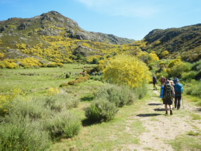
Il sentiero si estende lungo il confine tra le province di Ourense e Zamora. Il tragitto inizia a Portela da Serra Calva (1.520 m), noto anche con il nome di As Lagoas das Tablillas, al confine tra il Concello da Veiga e il comune zamorano di Porto de Sanabria. In questo punto è presente un'area di osservazione astronomica, poiché il luogo vanta un ampio cielo aperto e nessun inquinamento luminoso.
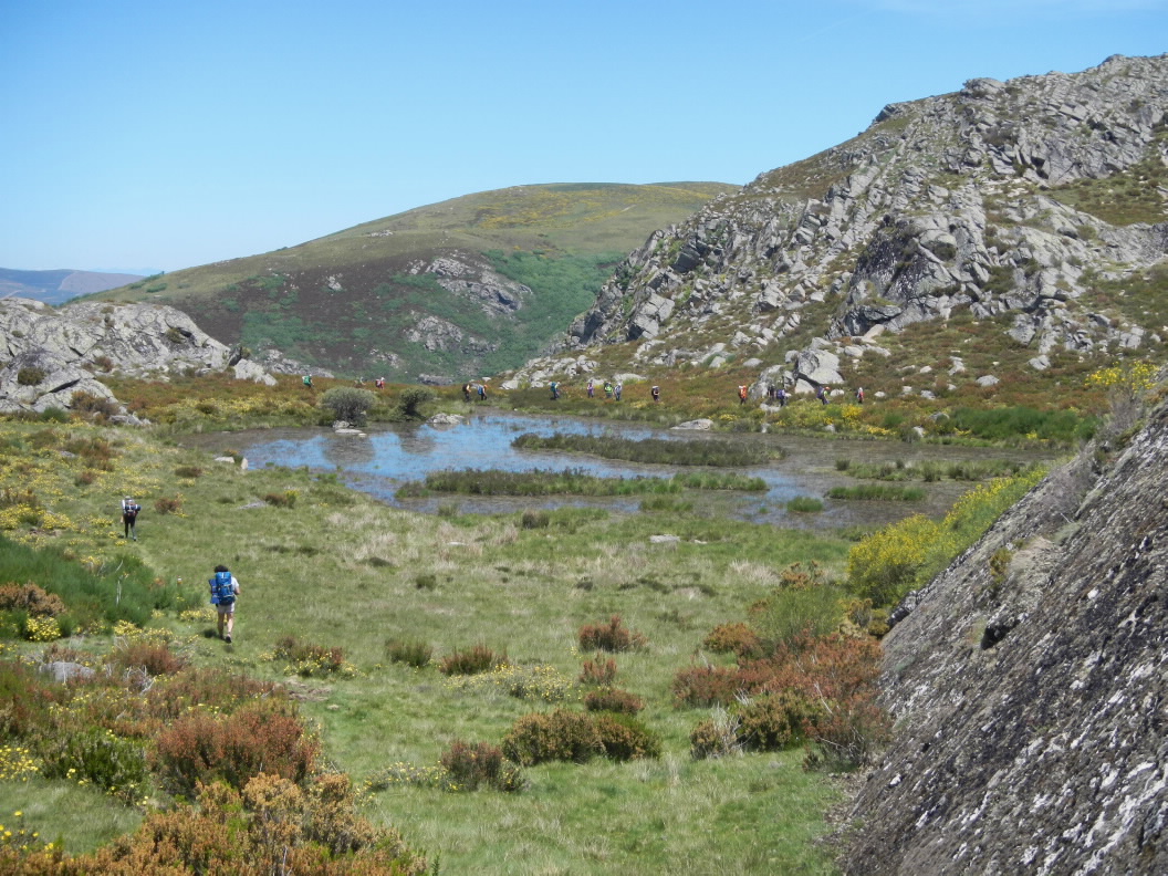
Il percorso costeggia molte piccole lagune stagionali chiamate lagoallos . La presenza di questi piccoli laghi e pozzanghere (dette brañas ) testimonia il passato glaciale di queste montagne.
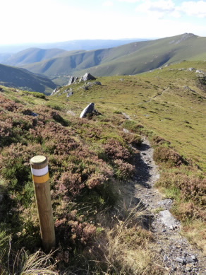
Il sentiero attraversa le lagune glaciali di Ocelo e A Serpe, nonché i prati e i resti delle capanne un tempo utilizzate dagli allevatori. Da O Escavadoiro, il percorso sale lungo il fiume Xares fino quasi alla sua sorgente. Quindi, si congiunge con altri sentieri per condurre alla vetta di Pena Trevinca.
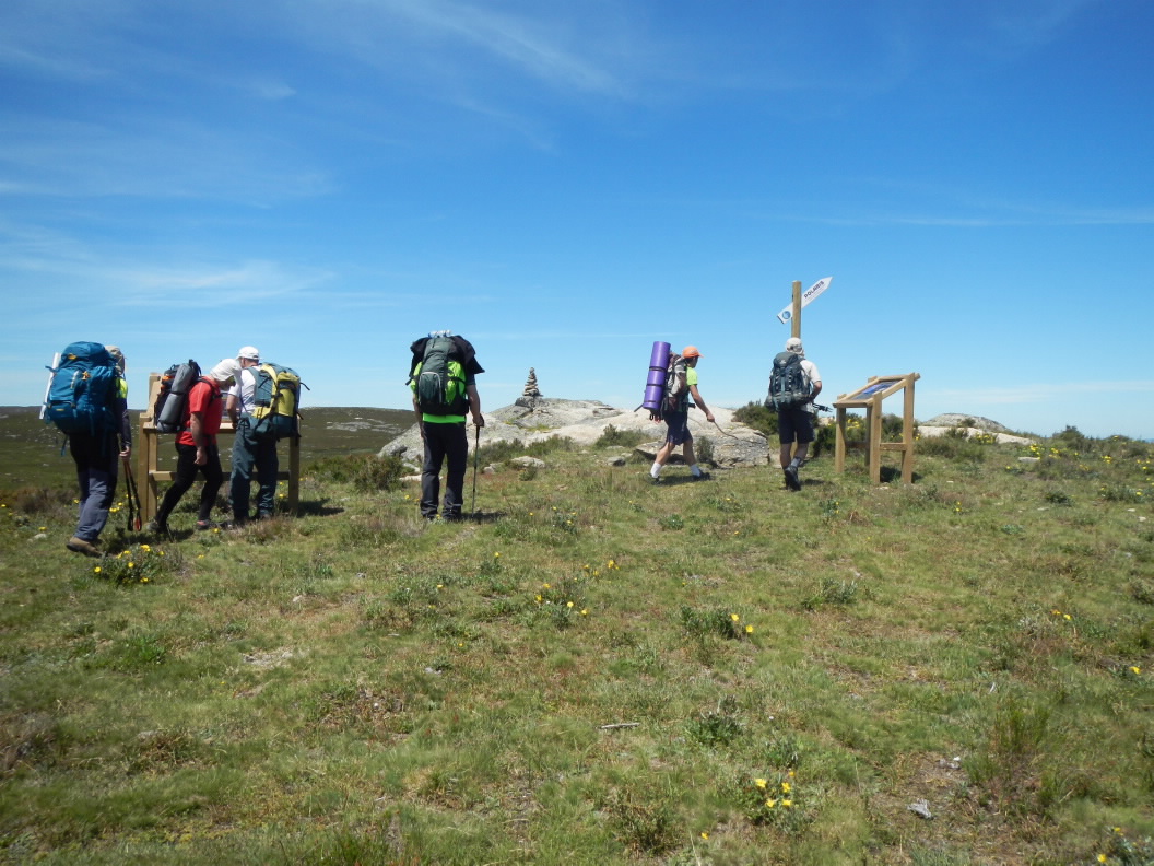
Il tragitto dell'Integral da Serra Calva raggiunge i 21 km, ma occorre risparmiare le energie per poter coprire la stessa distanza durante il viaggio di ritorno. in alternativa è possibile scendere a Vilanova o A Ponte mediante altri sentieri collegati.
Accesso
Da A Rúa o A Gudiña sulla OU-533 a Alto do Covelo. Deviare in direzione di A Veiga. Quindi proseguire per Valdín e, in direzione di Porto de Sanabria, salire fino a As Tablillas, al confine con il Concello da Veiga.
Lunghezza
42 km (andata e ritorno obbligatorio). È possibile optare per discese più brevi su altri percorsi.
Punto de partida/chegada
As Tablillas o Portela da Serra Calva (Concello da Veiga). La fine del percorso, vicino a Pena Trevinca, non consente l’accesso ai veicoli.
As Tablillas o Portela da Serra Calva (Concello da Veiga). La fine del percorso, vicino a Pena Trevinca, non consente l’accesso ai veicoli.
Percorso
Portela da Serra Calva, Sestil da Calva, Lagoa de Carrizais, Lagoa de Ocelo, Lagoa da Serpe, O Escavadoiro, valle del fiume Xares vicino a Pena Trevinca, e ritorno.
Difficoltà
Durata
14 ore (andata e ritorno).
Collegamenti
Con i sentieri PR-G 200 e PR-G 198. Attraverso quest'ultimo si collega anche al PR-G 199.
Material
Servizos
M.I.D.E.
Accesso in bicicletta
Accesso a cavallo
Cartografía I.G.N. (1:25:000)
Ulteriori informazioni
Concello da Veiga
Tel.: 988 350 000
www.aveiga.gal
concello.aveiga@eidolocal.es
Segatur (Sendeiros de Galicia para o Turismo Rural S.L.)
Tel. 654 165 730 / 886 117 011
info@segatur.com
www.segatur.com
Tipo de percorrido
Interesse
Collegamenti con altri cammini
Piantina

