Turismo de Galicia

-
Things to do
Way of St. James
Nature
Culture and heritage
Beaches and coast
Tourist trails
- Top ten: Ten unrivalled destinations
- The route of the camellia
- Tourist routes
- Pathways for discovering a country
- Walks to fall in love with
- Greenways
- Scenery at the wheel
- EuroVelo Galicia
- Beyond the Sunset
Gastronomy
Health tourism
PROMOTIONS TO ENJOY NOW
Cultural agenda
Will happen... View all
- Places to visit
-
Plan your trip


-
A miña viaxe
A MIÑA VIAXE
- Compartir
- Correo
- Imprimir
mailto:?subject=Content from Tourism of Galicia: COMPLEXO ONS - O GROVE&body=I recommend you read the information COMPLEXO ONS - O GROVE extracted from the Tourism of Galicia site on page https://www.turismo.gal/recurso/-/detalle/16801/complexo-ons-o-grove?langId=en_US%26ctre=9%26tp=1

Datos do recursos turístico
Description
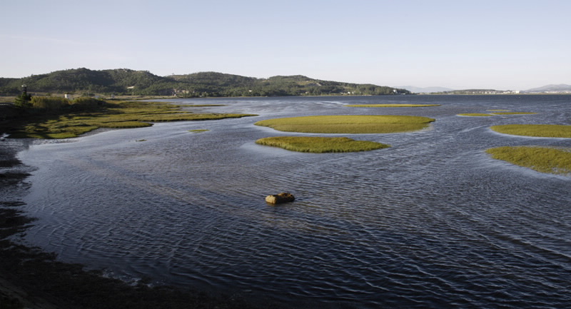
The Spanish Society of Ornithology (SEO/Birdlife) regards the region as one of the most important winter migration areas and routes for waterfowl on Spain’s north coast. The number of over-wintering waterfowl has been estimated at fifteen thousand, including an average of almost four thousand anatidae and ten thousand limicolae.
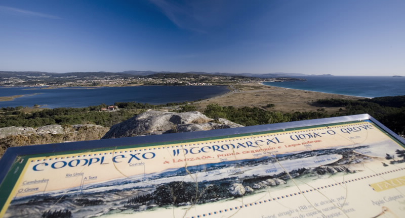
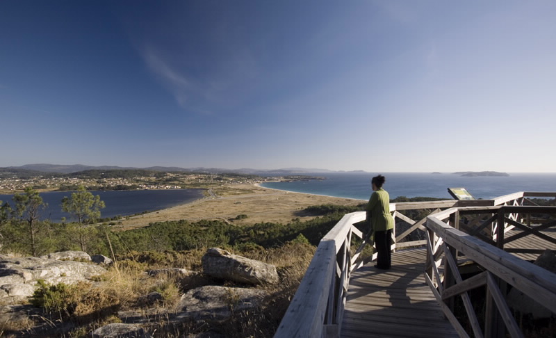
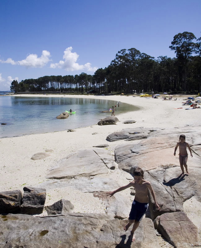
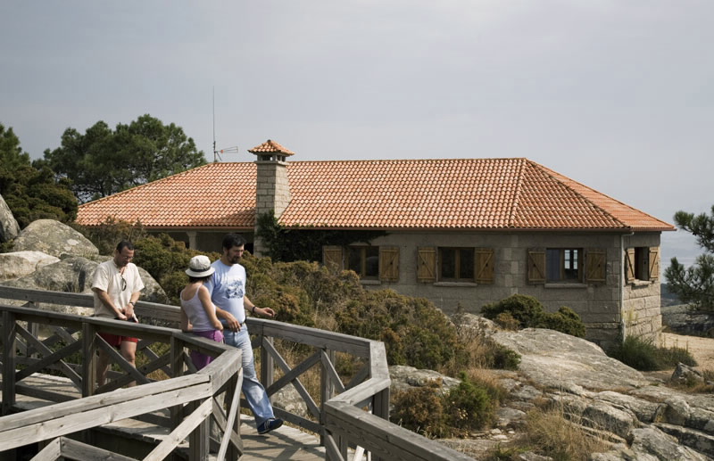
The protected space also includes the coastal stretch of the O Grove peninsula, between Reboredo and San Vicente do Mar. The Bodeira lagoon, unique in this coastal region of the southern coast of Galicia, is located here. Here also, one can ascend the Siradella mountain, the highest point, where from its modest 159 metres of height one can enjoy the best views of this first-class nature complex.
In the estuary’s interior the route over the Carreirón point, in the peace of A Illa de Arousa, makes for a pleasant walk.
Access
The Ways of St. James
Situation
Area
Services
Food: Yes.
