Turismo de Galicia

-
Things to do
Way of St. James
Nature
Culture and heritage
Beaches and coast
Tourist trails
- Top ten: Ten unrivalled destinations
- The route of the camellia
- Tourist routes
- Pathways for discovering a country
- Walks to fall in love with
- Greenways
- Scenery at the wheel
- EuroVelo Galicia
- Beyond the Sunset
Gastronomy
Health tourism
PROMOTIONS TO ENJOY NOW
Cultural agenda
Will happen... View all
- Places to visit
-
Plan your trip


-
A miña viaxe
A MIÑA VIAXE
- Compartir
- Correo
- Imprimir
mailto:?subject=Content from Tourism of Galicia: BETANZOS-MANDEO&body=I recommend you read the information BETANZOS-MANDEO extracted from the Tourism of Galicia site on page https://www.turismo.gal/recurso/-/detalle/16869/betanzos-mandeo?langId=en_US%26tp=1%26ctre=9

Datos do recursos turístico
Description
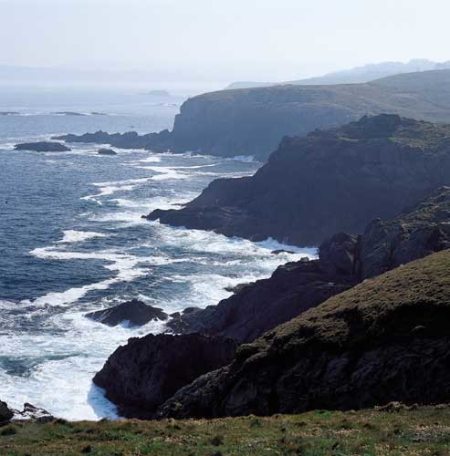
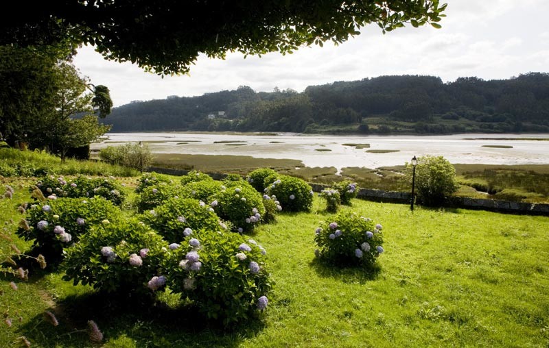
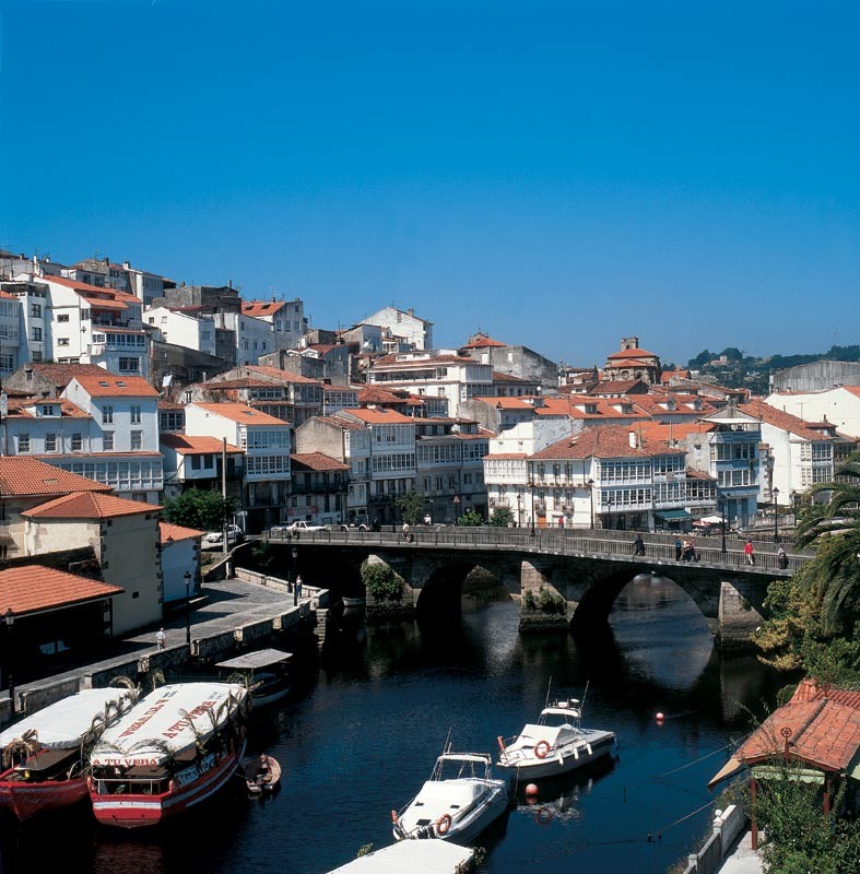
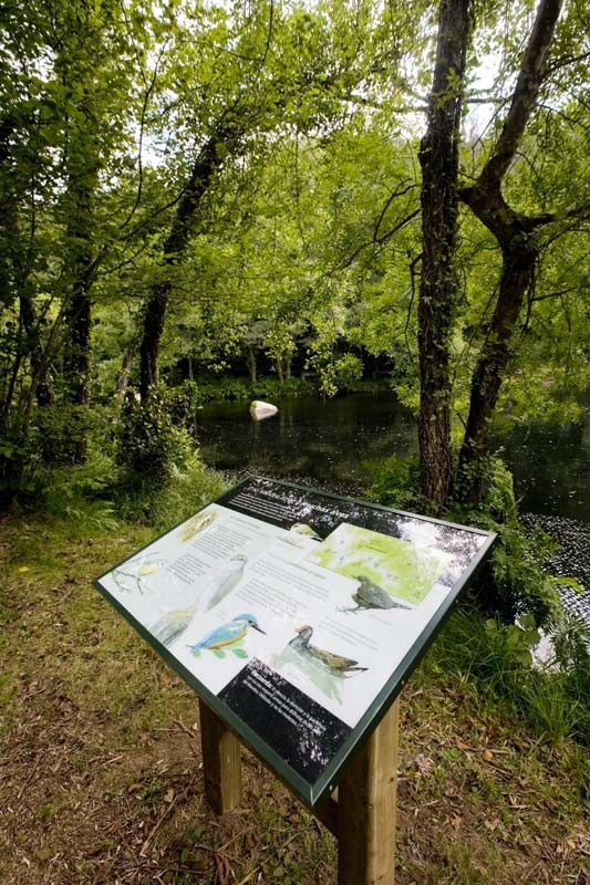
The best observatory of this wetland is on the access road which runs along the left margin of the estuary. Here, we will find the pazo of Mariñán (Bergondo) where, during visiting hours, we can visit the gardens where there are five tree taxa, catalogued as Singular Trees. There are inland routes to Chelo (Betanzos), where, apart from the nature workshop, the routes into the forests lining the river Mandeo begin. The course of the river speeds up at times among the granite outcrops o this stretch, providing beautiful vignettes against the rhythm of the waters.
Access
The Ways of St. James
Situation
Area
Services
Food: Yes.
Information and facilities
Other sites you may be interested in...
-
COSTA DE DEXO
ZEC - natura 2000
-
ENCORO DE ABEGONDO-CECEBRE
ZEC - natura 2000
