Turismo de Galicia


-
Things to do
Way of St. James
Nature
Culture and heritage
Beaches and coast
Tourist trails
- Top ten: Ten unrivalled destinations
- The route of the camellia
- Tourist routes
- Pathways for discovering a country
- Walks to fall in love with
- Greenways
- Scenery at the wheel
- EuroVelo Galicia
- Beyond the Sunset
Gastronomy
Health tourism
PROMOTIONS TO ENJOY NOW
Cultural agenda
Will happen... View all
- Places to visit
-
Plan your trip
Build your journey
Practical information


-
A miña viaxe
A MIÑA VIAXE
- Compartir
- Correo
- Imprimir
mailto:?subject=Content from Tourism of Galicia: RÍA DE FOZ-MASMA&body=I recommend you read the information RÍA DE FOZ-MASMA extracted from the Tourism of Galicia site on page https://www.turismo.gal/recurso/-/detalle/16950/ria-de-foz-masma?ctre=9%26langId=en_US%26tp=1

Datos do recursos turístico
Description
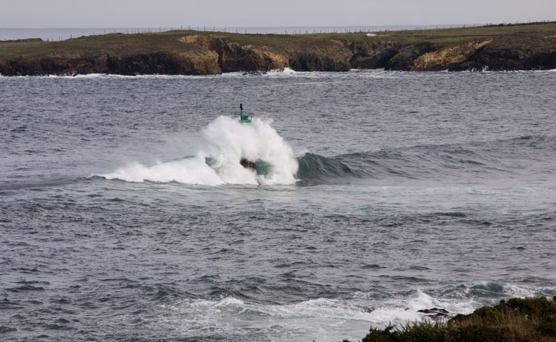
There are many routes along the river, one of Galicia’s best salmon streams. One of the best is that of Pena Cornería (437m), although you need to be in good shape to make the ascent on foot. The reward is in the landscape, with panoramic views of the whole Marina coast. There are other accessible lookouts, such as the peak of A Lebre (Foz), and recreation areas, like that of Fervenza (Viloalle) with artificial river swimming pools in a tributary of the Masma, close to Mondoñedo.
Access
The Ways of St. James
Situation
Area
Further features
Other sites you may be interested in...
-
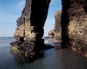
A PRAIA DAS CATEDRAIS
Natural Monument
