Turismo de Galicia

-
Things to do
Way of St. James
Nature
Culture and heritage
Beaches and coast
Tourist trails
- Top ten: Ten unrivalled destinations
- The route of the camellia
- Tourist routes
- Pathways for discovering a country
- Walks to fall in love with
- Scenery at the wheel
- EuroVelo Galicia
- Beyond the Sunset
Gastronomy
Health tourism
PROMOTIONS TO ENJOY NOW
Cultural agenda
Will happen... View all
- Places to visit
-
Plan your trip
Build your journey
Practical information


-
A miña viaxe
A MIÑA VIAXE
- Compartir
- Correo
- Imprimir

Description
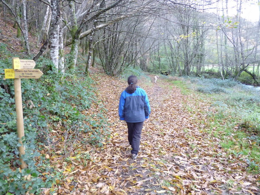
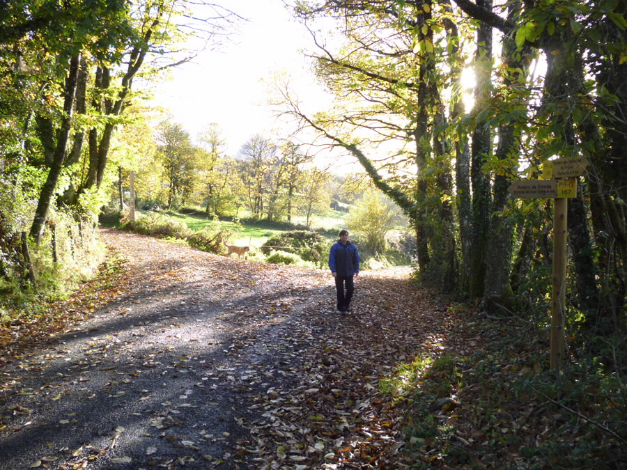
Toques is the Galician municipality with the most land in the Natura 2000 Network. A trail network which covers a large part of this valuable natural area has been created. PR-G 166 connects with PR-G 167 and PR-G 168, making it possible to combine the routes.
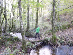
The trail runs parallel to the Furelos River, heading north towards the Serra do Careón mountains. In the first section, you will enjoy flat terrain, walking under the dense shade of chestnut trees to Paradela and Eirixe. Along this leg, there is a variation that splits off from the main route and runs through rougher terrain between Buxán and Paradela. At A Fervenza Mill, you can take in the beautiful sight of the 20-metre waterfall and old mill.
After the waterfall, the terrain becomes mountainous as the trail goes through the Serra do Careón mountains, with views of the Furelos River valley.
This natural area is unique for its flora, with plants that are virtually extinct at the national level and others which are endemic to the region.
After reaching the village of Prados, the trail descends to the Furelos River, bringing the route back on itself and connecting with the outbound leg.
Hikers can be picked up in Eirixe or return to the starting point via variation PR-G 166.1.
Access
The Ways of St. James
A plus
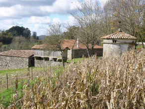
SANTO ANTONIÑO DE TOQUES
Romanesque Santo Antoniño de Toques Church, surrounded by a lovely oak wood, is one of the oldest monasteries in Galicia and the first evidence of the Benedictine presence in this area.
The exterior is very restrained. Inside, highlights include a lovely Gothic Calvary made of polychrome wood and Renaissance paintings. In the years following the general seizure of church lands and property, the church was used as a nail factory!.
Longitude
Point of Departure / Arrival
Route
Difficulty
Duration
Services
M.I.D.E.
Bicycle access
Horse access
cartography I.G.N. (1:25:000)
Further information
Concello de Toques
Tel.: 981 505 826
correo@toques.es
www.toques.es
Tel.: 626 835 030
xullotaboada@hotmail.com
Kind of route
Interest
Connections with other trails
Map


