Turismo de Galicia

-
Things to do
Way of St. James
Nature
Culture and heritage
Beaches and coast
Tourist trails
- Top ten: Ten unrivalled destinations
- The route of the camellia
- Tourist routes
- Pathways for discovering a country
- Walks to fall in love with
- Greenways
- Scenery at the wheel
- EuroVelo Galicia
- Beyond the Sunset
Gastronomy
Health tourism
PROMOTIONS TO ENJOY NOW
Cultural agenda
Will happen... View all
- Places to visit
-
Plan your trip


-
A miña viaxe
A MIÑA VIAXE
- Compartir
- Correo
- Imprimir
mailto:?subject=Content from Tourism of Galicia: PR-G 182 BIDUEIRAL DE GABÍN&body=I recommend you read the information PR-G 182 BIDUEIRAL DE GABÍN extracted from the Tourism of Galicia site on page https://www.turismo.gal/recurso/-/detalle/200513000054/pr-g-182-bidueiral-de-gabin?langId=en_US%26tp=6%26ctre=23

Datos do recursos turístico
Description
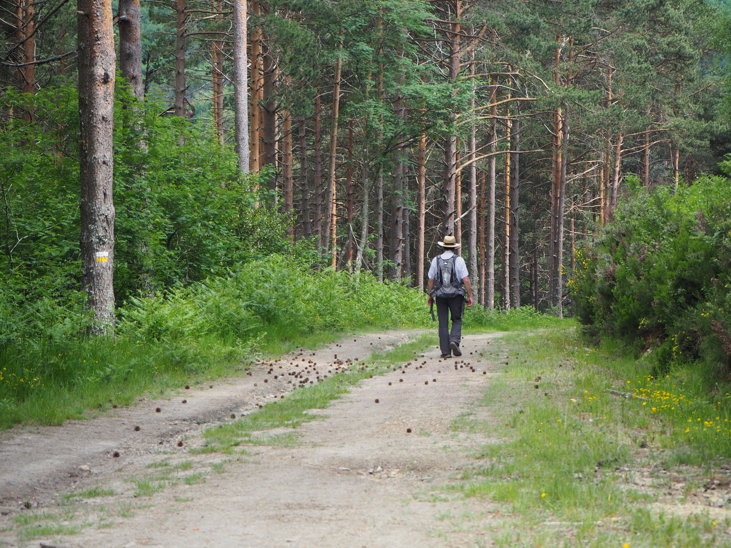
The Bidueiral de Gabín is a birch forest (bidueiros in Galician) belonging to the parish of Gabín, on the north side of the Sierra de San Mamede. It is considered to be the southernmost birch forest in Europe, as this species is more typically found in Nordic countries.
You can access the starting point, Campo do Casar, via a dirt track that can be driven on by mountain vehicles; it is therefore recommended that you use the off-road taxi service available from the town of Montederramo. The access and the entire route follows forest tracks with gentle slopes, so they can easily be traversed on foot or by bicycle.
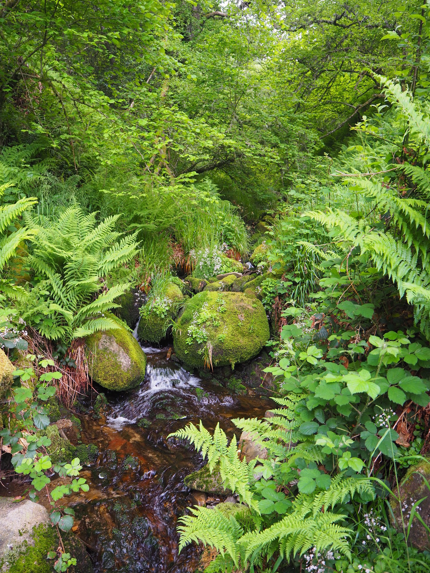
Birches in Spain rarely form a forest, although they are frequently found in the northern mountain ranges where, as in Montederramo, they are interspersed with holly, rowan, heather and berry trees. Along the route, we will also cross other areas of wild pine forest.
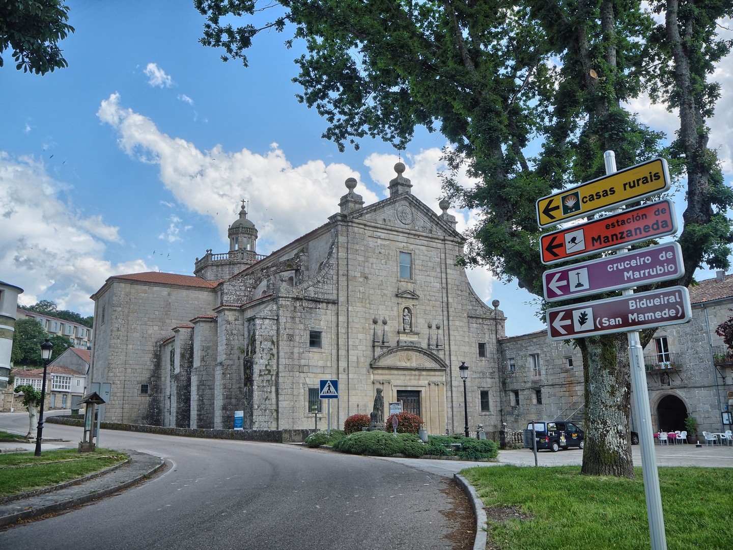
Access
You can reach the route from Ourense via the OU-536 to Leboreiro. Turn right on the OU-0602 towards Montederramo. Pass Montederramo and take the detour to the right towards Gabín and A Mogaínza. Upon reaching A Mogainza, turn right onto a dirt track that leads to Campo do Casar. This section is recommended for off-road vehicles.
Longitude
Point of Departure / Arrival
Route
Difficulty
Duration
Equipment
Not recommended in winter. Snow is often found on this route because it often runs at above 1,200 meters of altitude. If you do walk it in winter, it is advisable to go prepared with warm clothes, hiking boots and poles. The route is away from urban centres. Bring provisions and water.
Services
M.I.D.E.
Bicycle access
Horse access
cartography I.G.N. (1:25:000)
Further information
Concello de Montederramo
Tel.: 988 292 000
concello.montederramo@eidolocal.es
www.montederramo.es
turismo.ribeirasacra.org
Kind of route
Interest
Map

