Turismo de Galicia

-
Things to do
Way of St. James
Nature
Culture and heritage
Beaches and coast
Tourist trails
- Top ten: Ten unrivalled destinations
- The route of the camellia
- Tourist routes
- Pathways for discovering a country
- Walks to fall in love with
- Scenery at the wheel
- EuroVelo Galicia
- Beyond the Sunset
Gastronomy
Health tourism
PROMOTIONS TO ENJOY NOW
Cultural agenda
Will happen... View all
- Places to visit
-
Plan your trip
Build your journey
Practical information


-
A miña viaxe
A MIÑA VIAXE
- Compartir
- Correo
- Imprimir

Description
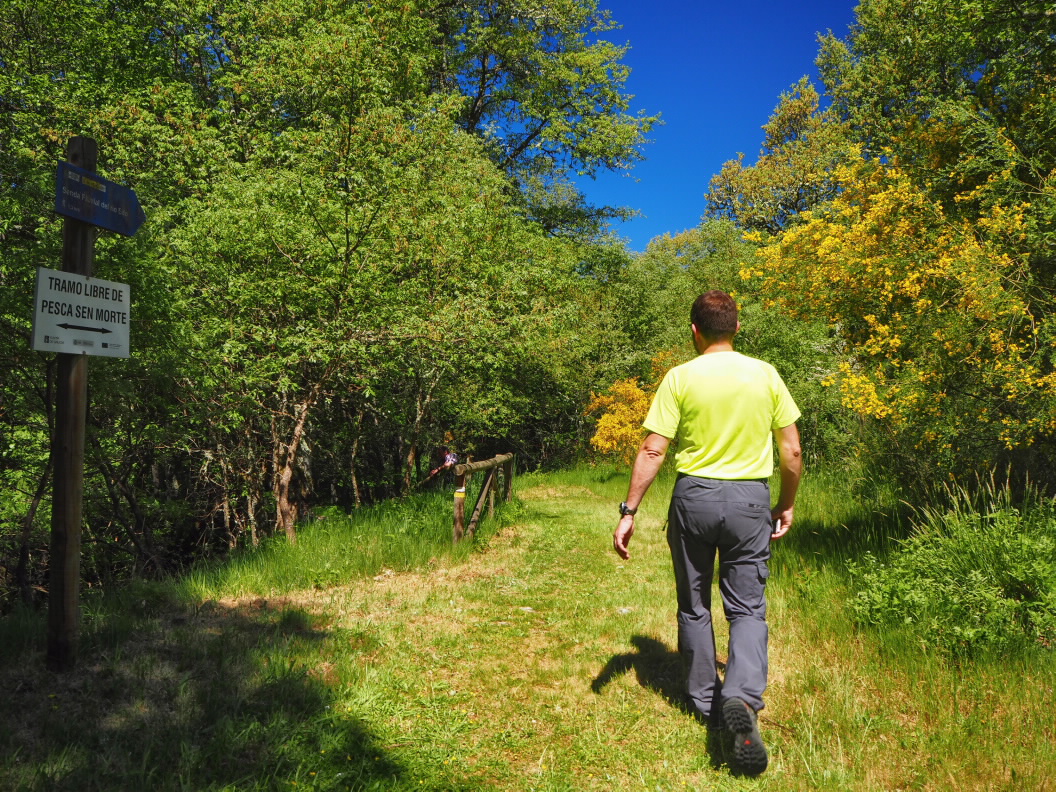
The path forms two loops that meet at the Prado square in the municipal capital of O Castro de Caldelas. You can do the complete route or choose one of the loops, as both options are circular.
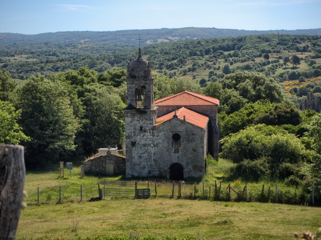
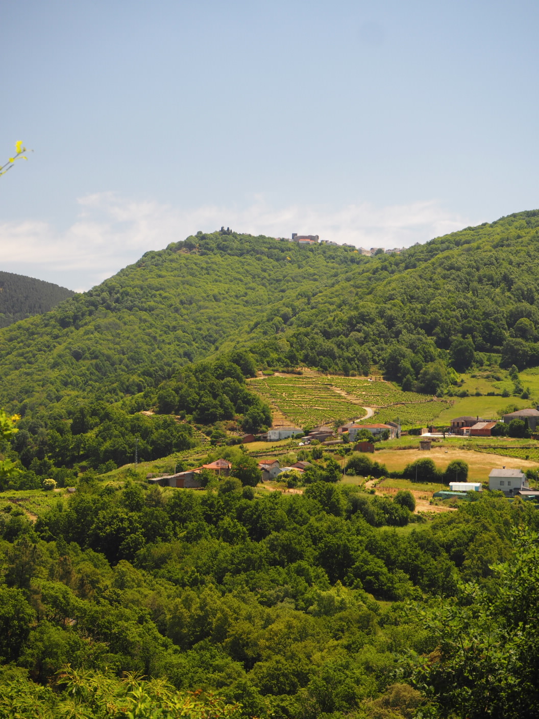
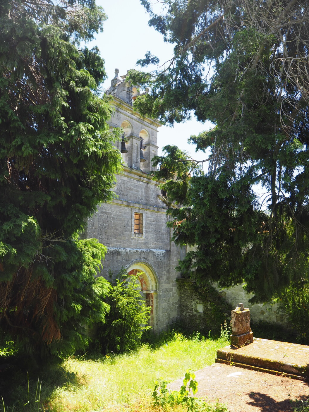
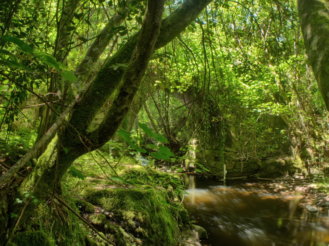
The short loop, about five kilometres long, starts with an incredible panoramic view of the castle and then approaches the church of Camba (10th century). From here, it descends to the river and recreational area of Ponte das Táboas. Following the Edo river, the loop returns to O Castro de Caldelas between mills and forests.
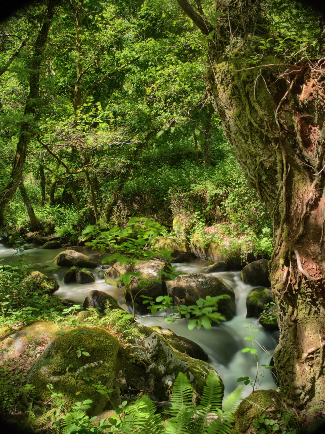
The long ring, about fifteen kilometres, descends between villages and forests towards the Edo river. In a short time, you will reach the ruins of the monastery of San Paio de Abeleda (12th century), which is located between wide vineyards. Afterwards, the itinerary continues close to the O Porto river, skirting the mountain crowned by the village of Poboeiros. In Souto de Poboeiros, centuries-old oak and chestnut trees surround and shade this path.
TIPS
The route crosses busy roads in various places. Be cautious.
Access
O Castro de Caldelas is an important town on the OU-536 between Ourense and the Trives region.
A plus
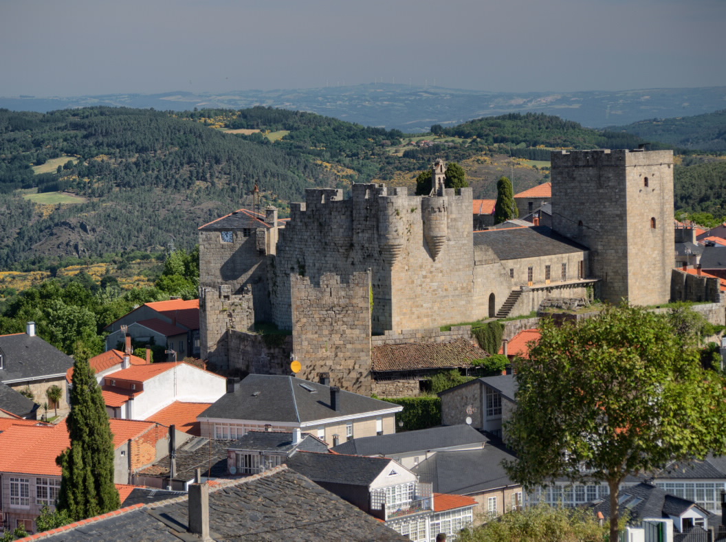
O CASTRO DE CALDELAS CASTLE
It is believed that this fortress that belonged to the Counts of Lemos is situated on a primitive fort and a later Roman camp. The current construction dates from the 14th century. During the Irmandiño revolts, between the years 1467 and 1469, the Irmandiño forces seized and partially destroyed the fortress. After the revolts, the Count of Lemos punished his vassals, forcing them to rebuild the castle.
Today it is a cultural centre and houses the tourist office, the municipal library, an assembly hall and an archaeological and ethnographic museum.
Longitude
Point of Departure / Arrival
Route
Difficulty
Duration
Equipment
Services
M.I.D.E.
Bicycle access
Horse access
cartography I.G.N. (1:25:000)
Further information
Concello de Castro Caldelas
Tel.: 988 203 000
www.castrocaldelas.es
correo.castrocaldelas@fegamp.gal
turismo.ribeirasacra.org
Kind of route
Interest
Map


