Turismo de Galicia

-
Things to do
Way of St. James
Nature
Culture and heritage
Beaches and coast
Tourist trails
- Top ten: Ten unrivalled destinations
- The route of the camellia
- Tourist routes
- Pathways for discovering a country
- Walks to fall in love with
- Scenery at the wheel
- EuroVelo Galicia
- Beyond the Sunset
Gastronomy
Health tourism
PROMOTIONS TO ENJOY NOW
Cultural agenda
Will happen... View all
- Places to visit
-
Plan your trip
Build your journey
Practical information


-
A miña viaxe
A MIÑA VIAXE
- Compartir
- Correo
- Imprimir

Description
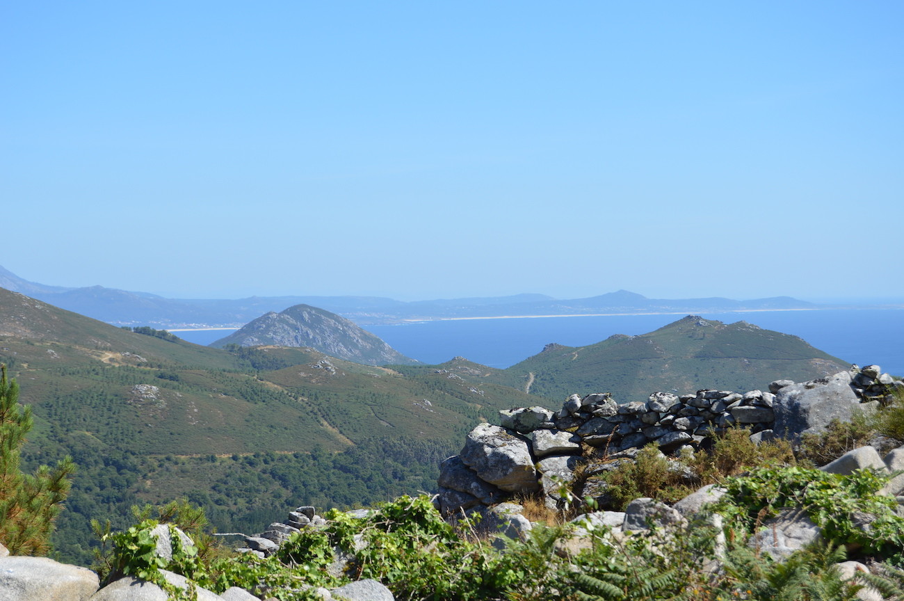
It forms part of the Carnota Open-air Archaeological Museum. Located on top of a hill in the parish of Lira, from the summit we can enjoy an impressive, 360-degree panoramic view encompassing everything from Monte Louro to Cape Fisterra. It’s a fortification whose origins lie between Late Antiquity and the High Middle Ages. It has a double wall system, two internal enclosures and an entrance facing the harbour of Lira. In the beginning its purpose was to defend, but over time it was used for agricultural and livestock purposes. During the 20th century it was once again used as a refuge for the persecuted during the Spanish Civil War.

