Turismo de Galicia

-
Things to do
Way of St. James
Nature
Culture and heritage
Beaches and coast
Tourist trails
- Top ten: Ten unrivalled destinations
- The route of the camellia
- Tourist routes
- Pathways for discovering a country
- Walks to fall in love with
- Greenways
- Scenery at the wheel
- EuroVelo Galicia
- Beyond the Sunset
Gastronomy
Health tourism
PROMOTIONS TO ENJOY NOW
Cultural agenda
Will happen... View all
- Places to visit
-
Plan your trip


-
A miña viaxe
A MIÑA VIAXE
- Compartir
- Correo
- Imprimir
mailto:?subject=Content from Tourism of Galicia: CUMIO DA CUROTIÑA&body=I recommend you read the information CUMIO DA CUROTIÑA extracted from the Tourism of Galicia site on page https://www.turismo.gal/recurso/-/detalle/269616340/cumio-da-curotina?langId=en_US%26tp=1%26ctre=383

Datos do recursos turístico
Description
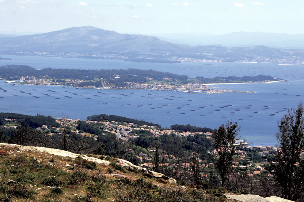
Megalithic remains can be seen everywhere. Dolmens such as Arca do Barbanza and Casota do Páramo (Boiro) or the one in Axeitos (Ribeira); Celtic settlements such as Baroña (Porto do Son) or the ones in O Neixón (Boiro).
Top-category landscapes. Peat bogs abound on the high plains in Barbanza Mountains, in rich ecosystems.
