Turismo de Galicia


-
Things to do
Way of St. James
Nature
Culture and heritage
Beaches and coast
Tourist trails
- Top ten: Ten unrivalled destinations
- The route of the camellia
- Tourist routes
- Pathways for discovering a country
- Walks to fall in love with
- Greenways
- Scenery at the wheel
- EuroVelo Galicia
- Beyond the Sunset
Gastronomy
Health tourism
PROMOTIONS TO ENJOY NOW
Cultural agenda
Will happen... View all
- Places to visit
-
Plan your trip
Build your journey
Practical information


-
A miña viaxe
A MIÑA VIAXE
- Compartir
- Correo
- Imprimir
mailto:?subject=Content from Tourism of Galicia: PR-G 121 RUTA DOS TRES RÍOS&body=I recommend you read the information PR-G 121 RUTA DOS TRES RÍOS extracted from the Tourism of Galicia site on page https://www.turismo.gal/recurso/-/detalle/277249666/pr-g121-rota-dos-tres-rios?ctre=23%26langId=en_US%26tp=6

Datos do recursos turístico
Description
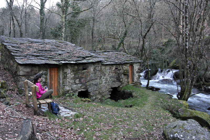
You can visit some of the mills that once occupied part of the locals’ daily activities. The waters of the River Lañas once fed the Carballa Mill, now completely restored, and Santaia Mill, among others.
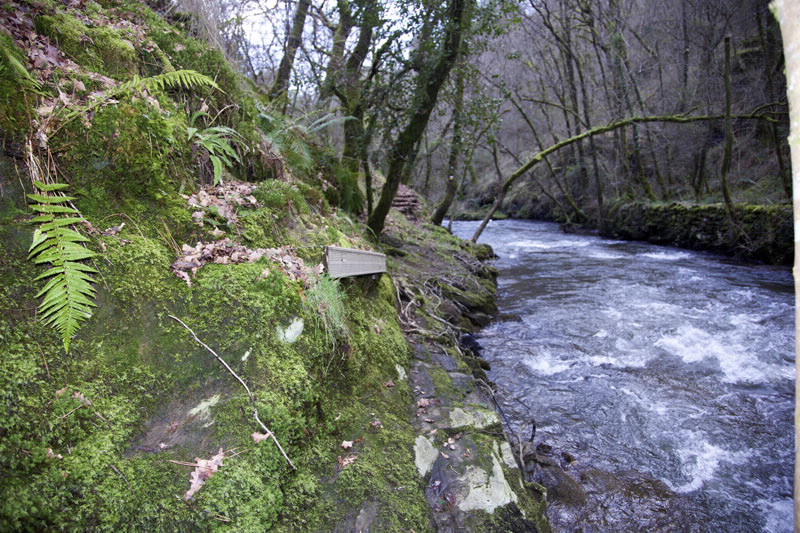
There are also beautiful natural spaces in lush forests, where formerly people gathered firewood and chestnuts. On the stretch by the River Ulla you can still see the remains of some old fisheries that were used to catch river fish.
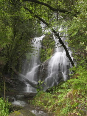
The waterfall known as Salto das Pombas is another attraction in this area, located in a place known as Montes de Fao – the falls are ten metres high.
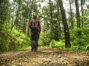
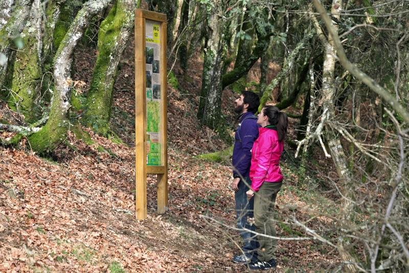
The more technical areas of the trail have been endowed with steps and boardwalks to make it easier to cross and make the route suitable for anyone who decides to visit this place.
Access
A plus
FISHERIES
Are buildings located on the banks
of the rivers specially designed for catching
salmon, lamprey, eels and shad. The most
common consist of ashlar block walls aligned
parallel to or across the river, where the currents
push the fish through narrow passages, among
which is a conical net (called a “boteirón” in the
Galician language), which is placed at the end
of the passages.
The first fisheries date from before the twelfth
century, traps made of wooden poles or simple
structures made by rearranging the river stones.
In the fifteenth century there is evidence of
more intricate constructions.
The progressive abandonment of these river
infrastructures, given that they were not
profitable, took them to the brink of extinction.
Only some buildings remained almost in their
original state, as is the case with the fisheries in
the Municipality of Arbo (Pontevedra).
Longitude
Point of Departure / Arrival
Route
Difficulty
Duration
Services
M.I.D.E.
Bicycle access
Horse access
cartography I.G.N. (1:25:000)
Further information
Tel.: 981 504 029
correo@concellodetouro.gal
www.touroturismo.com
www.concellodetouro.com
Federación Galega de Montañismo
Tel.: 986 208 758 / Fax: 986 207 407
sendeirismofgm@yahoo.es
www.fgmontanismo.com
Segatur (Sendeiros de Galicia para o Turismo Rural S.L.)
Tel. 654 165 730 / 886 117 011
info@segatur.com
www.segatur.com
Kind of route
Interest
Connections with other trails
Map

