Turismo de Galicia


-
Things to do
Way of St. James
Nature
Culture and heritage
Beaches and coast
Tourist trails
- Top ten: Ten unrivalled destinations
- The route of the camellia
- Tourist routes
- Pathways for discovering a country
- Walks to fall in love with
- Greenways
- Scenery at the wheel
- EuroVelo Galicia
- Beyond the Sunset
Gastronomy
Health tourism
PROMOTIONS TO ENJOY NOW
Cultural agenda
Will happen... View all
- Places to visit
-
Plan your trip
Build your journey
Practical information


-
A miña viaxe
A MIÑA VIAXE
- Compartir
- Correo
- Imprimir
mailto:?subject=Content from Tourism of Galicia: PR-G 142 RUTA DAS FÉRVEDAS&body=I recommend you read the information PR-G 142 RUTA DAS FÉRVEDAS extracted from the Tourism of Galicia site on page https://www.turismo.gal/recurso/-/detalle/277249711/pr-g-142-ruta-das-fervedas?ctre=23%26langId=en_US%26tp=6

Datos do recursos turístico
Description
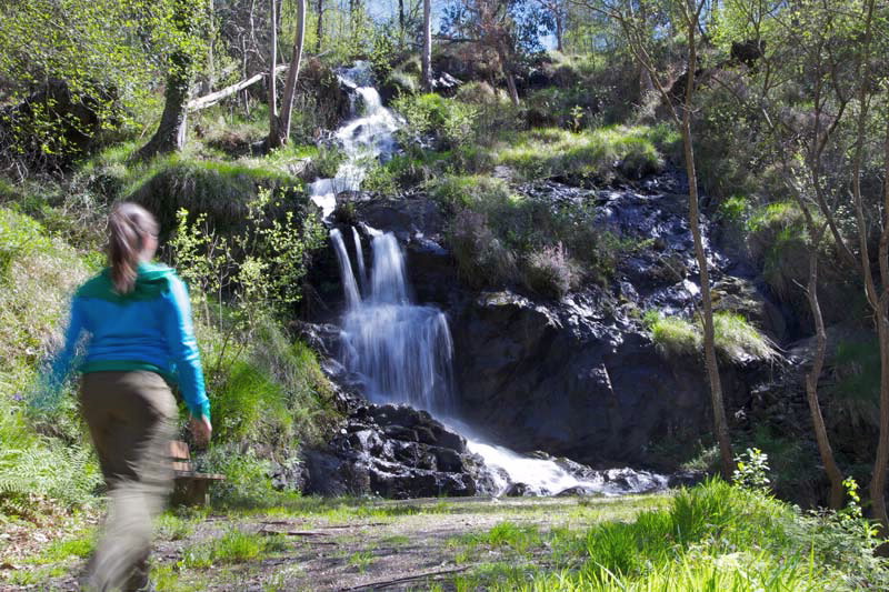
Leaving A Brea, after crossing through the village of Carracedo, the trail diverts to visit the Chapel of Nosa Señora dos Remedios in Vivente. This natural phenomenon led to the emergence of two waterfalls known as “férvedas”, which give this route its name.
In the vicinity of A Pena there are two options: we can take the route that goes round Mount Peniqueira and joins the main route again near Betrís, or keep going towards the Coto do Castro to see the archaeological remains of the defensive wall of this Galician- Roman settlement.
We then come down towards Rus waterfall, also known as Ramil, along a diversion that hardly leaves the main route.
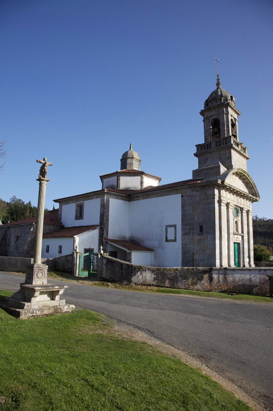
After crossing the Rego da Férveda, there is a sign indicating the presence of the Baroque church of Santa María de Rus. The path continues through a lush wood to the church of San Xens de Entrecruces.
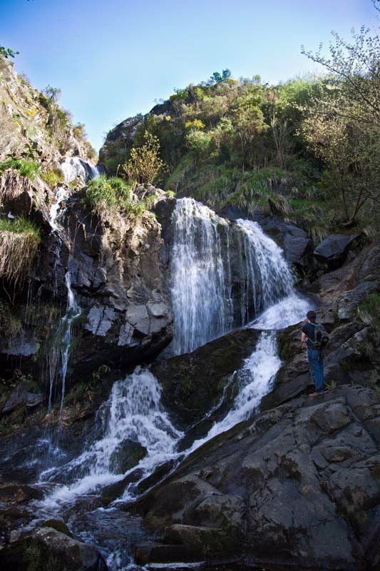
From here a steep ascent begins until we come to the diversion to Entrecruces waterfall, where the River Outón flows down a 50 metre slope and we can see the remains of a small hydroelectric plant that supplied Carballo early in the 19th century.
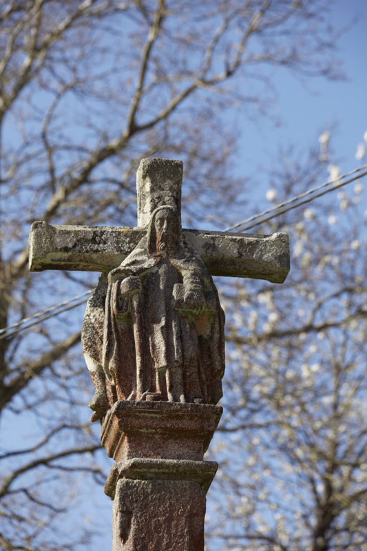
Back on the main route, a few metres further on is the end of the route at the Chapel of San Paio, a Gothic construction.
Access
Longitude
Point of Departure / Arrival
Route
Difficulty
Duration
Services
M.I.D.E.
Bicycle access
Horse access
cartography I.G.N. (1:25:000)
Further information
Tel: 981 704 100
infocarballo@carballo.gal
www.carballo.org
Federación Galega de Montañismo
Tel.: 986 208 758 / Fax: 986 207 407
sendeirismofgm@yahoo.es
www.fgmontanismo.com
Kind of route
Interest
Map

