Turismo de Galicia

-
Things to do
Way of St. James
Nature
Culture and heritage
Beaches and coast
Tourist trails
- Top ten: Ten unrivalled destinations
- The route of the camellia
- Tourist routes
- Pathways for discovering a country
- Walks to fall in love with
- Greenways
- Scenery at the wheel
- EuroVelo Galicia
- Beyond the Sunset
Gastronomy
Health tourism
PROMOTIONS TO ENJOY NOW
Cultural agenda
Will happen... View all
- Places to visit
-
Plan your trip


-
A miña viaxe
A MIÑA VIAXE
- Compartir
- Correo
- Imprimir
mailto:?subject=Content from Tourism of Galicia: PR-G 8 MORGALLÓN-RÍO SOR-MORGALLÓN&body=I recommend you read the information PR-G 8 MORGALLÓN-RÍO SOR-MORGALLÓN extracted from the Tourism of Galicia site on page https://www.turismo.gal/recurso/-/detalle/33804/pr-g-8-morgallon-rio-sor-morgallon?langId=en_US%26tp=6%26ctre=23

Datos do recursos turístico
Description
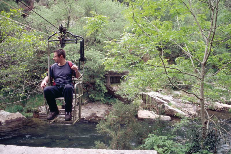
A now-abandoned electric power station, an old seat-bridge which, thanks to a pulley, crossed the river, and a beautiful mill, are some of the things to be seen along the route.
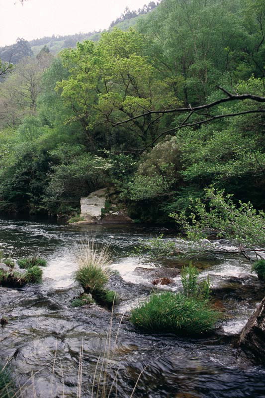
Ponte Ulló Dam is a major fish reserve. After crossing the isthmus that separates the two sections of river, we take the path back alongside the course of the water hemmed in between vertical banks. When we get back to Monte Ínsua and after crossing the bridge, a pathway on the right bank of the river leads to another "chair bridge".
Access
Longitude
Point of Departure / Arrival
Route
Difficulty
Duration
Services
M.I.D.E.
Bicycle access
Horse access
cartography I.G.N. (1:25:000)
Further information
Casa da Cultura do Vicedo
Tel.: 982 590 195
concello@concellodovicedo.org
www.concellodovicedo.org
Kind of route
Interest
Map

