Turismo de Galicia

-
Things to do
Way of St. James
Nature
Culture and heritage
Beaches and coast
Tourist trails
- Top ten: Ten unrivalled destinations
- The route of the camellia
- Tourist routes
- Pathways for discovering a country
- Walks to fall in love with
- Greenways
- Scenery at the wheel
- EuroVelo Galicia
- Beyond the Sunset
Gastronomy
Health tourism
PROMOTIONS TO ENJOY NOW
Cultural agenda
Will happen... View all
- Places to visit
-
Plan your trip


-
A miña viaxe
A MIÑA VIAXE
- Compartir
- Correo
- Imprimir
mailto:?subject=Content from Tourism of Galicia: MONTE ALOIA&body=I recommend you read the information MONTE ALOIA extracted from the Tourism of Galicia site on page https://www.turismo.gal/recurso/-/detalle/9608/monte-aloia?langId=en_US%26tp=1%26ctre=2

Datos do recursos turístico
Description
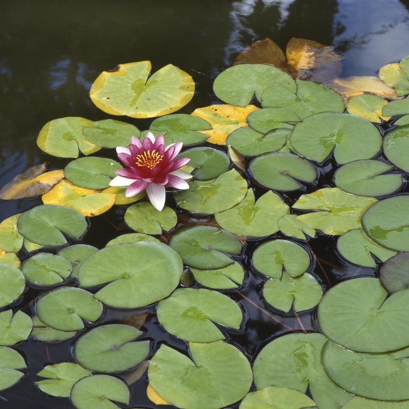
The Aloia knows that it is attractive, set as it is in an area touched by a benign climate and exuberant nature. A green mountain which also has solid roots set in the granite. Throughout its history it has been put to defensive, religious, forestry and recreational use. It was the first Natural Park in Galicia, and here it is, in complicity with the river, which, at its feet, begins to say its goodbyes before giving itself up to the sea.
The hills of O Galiñeiro, which rises up as a small hill range on the coast, starts from a height of less than one hundred metres and ascends to 629 metres at the peak of San Xián. The hill dominates the landscape, described as an observation point over the Miño. All the streams that flow from the Aloia seek the Miño valley in a short but rough journey, an indication of their milling past.
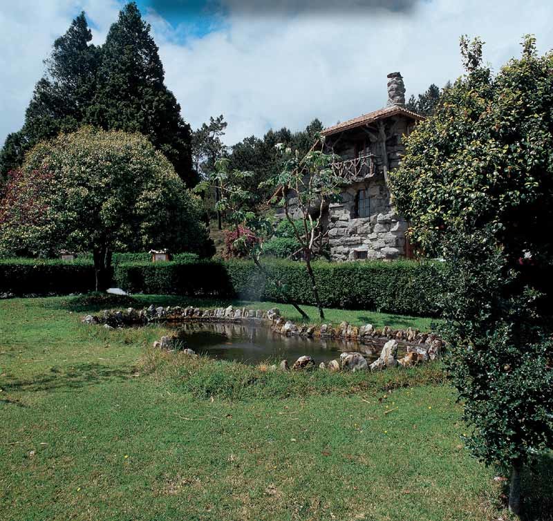
The location of the Park in one of the most densely populated areas of Galicia and the north of Portugal provides it with great environmental education possibilities. Thus, the house built by the Tui forestry expert Rafael Areses in 1921 is now used as a Visitors’ Centre.
On clear days the panoramic views from the Aloia will not fail to please. This is an area closely linked to open-air leisure activities, especially hill-walking. It is included in the network of routes throughout O Baixo Miño, which runs to here from the city of Vigo.
Access
The Ways of St. James
Situation
Area
Services
Food: Yes.
Without missing
The most visited place and the centre of local folk traditions, is the chapel at the top of San Xián. The shrine, of Romanesque origin, and the flight of steps to the saint’s fountain which was reconstructed in 18th century was a response to the ancient Christianisation of the cult of the stones and other natural elements. The rituals speak about the part of the bed in which it seems the saint slept and where the grass never grew, and about the water stone and the sun stone which were used to predict the weather.
The oldest route on foot is that of the Alto dos Cubos castro, a fortified town of which a 1,250 metre long wall still survives, called by the curious name of the Cyclops wall because it was made of large stones without mortar.
