Turismo de Galicia


-
Things to do
Way of St. James
Nature
Culture and heritage
Beaches and coast
Tourist trails
- Top ten: Ten unrivalled destinations
- The route of the camellia
- Tourist routes
- Pathways for discovering a country
- Walks to fall in love with
- Greenways
- Scenery at the wheel
- EuroVelo Galicia
- Beyond the Sunset
Gastronomy
Health tourism
PROMOTIONS TO ENJOY NOW
Cultural agenda
Will happen... View all
- Places to visit
-
Plan your trip
Build your journey
Practical information


-
A miña viaxe
A MIÑA VIAXE
- Compartir
- Correo
- Imprimir
mailto:?subject=Content from Tourism of Galicia: ENSEADA DE SAN SIMÓN&body=I recommend you read the information ENSEADA DE SAN SIMÓN extracted from the Tourism of Galicia site on page https://www.turismo.gal/recurso/-/detalle/16802/enseada-de-san-simon?langId=en_US

Datos do recursos turístico
Description
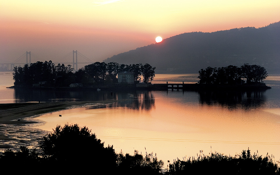
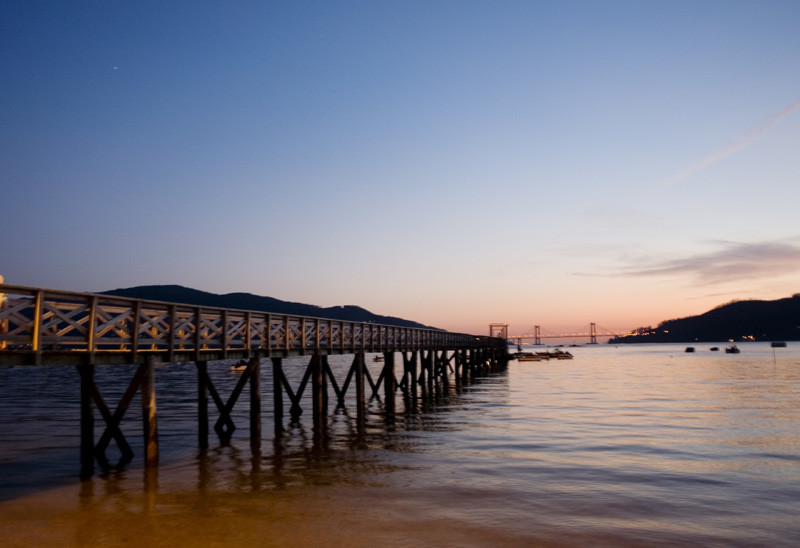
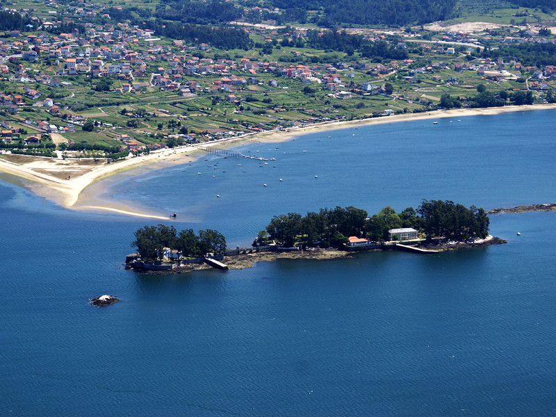
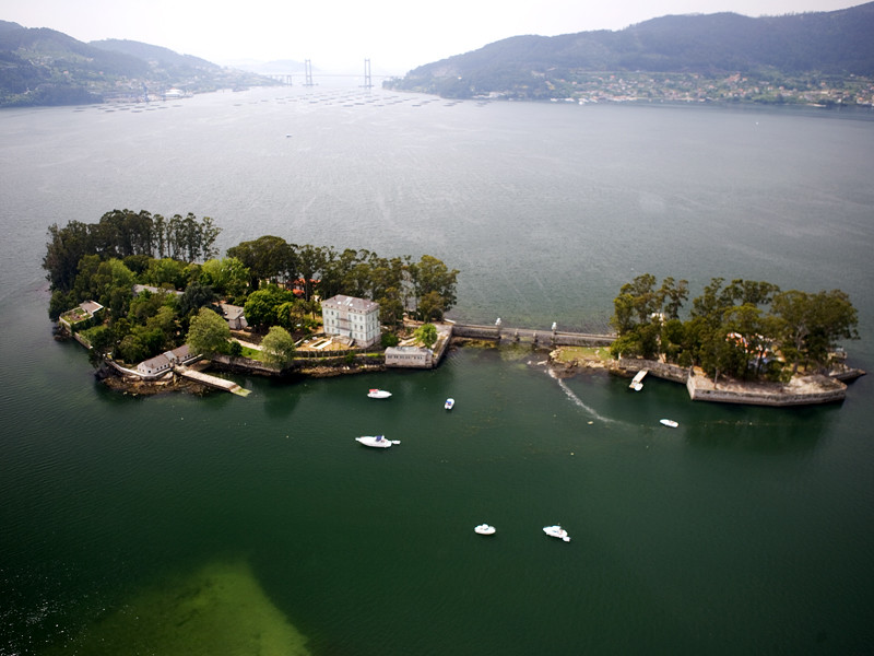
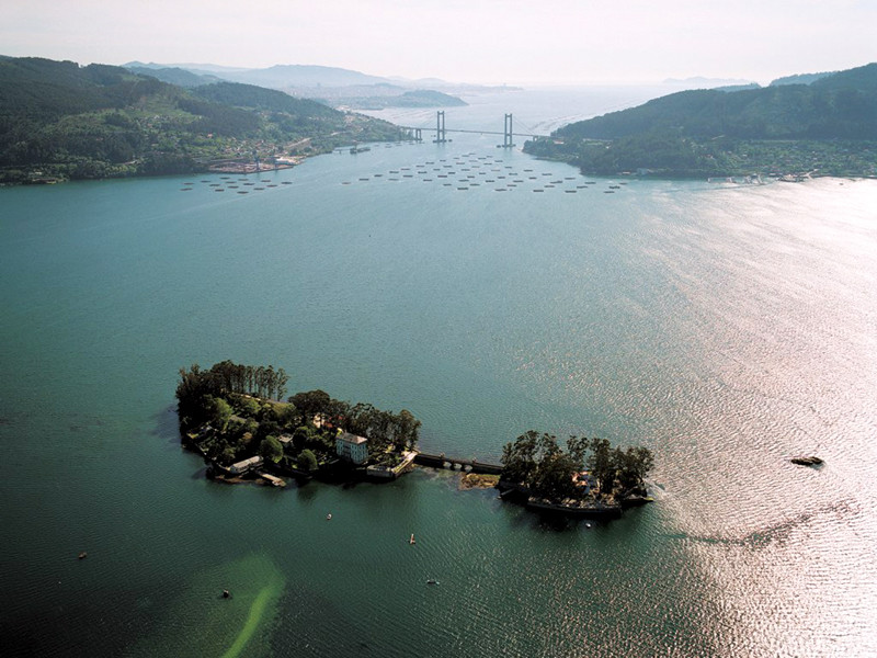
The old salt works of Ulló, in the neighbourhood of Paredes (Vilaboa), permitted easy access along its walls to this natural space. Cultural references to the inlet can be found on the island of San Simón, where there is an Interpretation Centre to explain its long history and different uses since Lazareto, a concentration camp. It can be visited mainly in summer, from the harbour of Cesantes (Redondela) and Santo Adrán de Cobres (Vilaboa). Outside of this protected area, on the O Morrazo peninsula, is the Park of Cotorredondo which has a nature workshop beside lake Castiñeiras.
Access
The Ways of St. James
Situation
Area
Services
Food: Yes.
