Turismo de Galicia


-
Things to do
Way of St. James
Nature
Culture and heritage
Beaches and coast
Tourist trails
- Top ten: Ten unrivalled destinations
- The route of the camellia
- Tourist routes
- Pathways for discovering a country
- Walks to fall in love with
- Greenways
- Scenery at the wheel
- EuroVelo Galicia
- Beyond the Sunset
Gastronomy
Health tourism
PROMOTIONS TO ENJOY NOW
Cultural agenda
Will happen... View all
- Places to visit
-
Plan your trip
Build your journey
Practical information


-
A miña viaxe
A MIÑA VIAXE
- Compartir
- Correo
- Imprimir
mailto:?subject=Content from Tourism of Galicia: NEGUEIRA&body=I recommend you read the information NEGUEIRA extracted from the Tourism of Galicia site on page https://www.turismo.gal/recurso/-/detalle/16951/negueira?langId=en_US

Datos do recursos turístico
Description
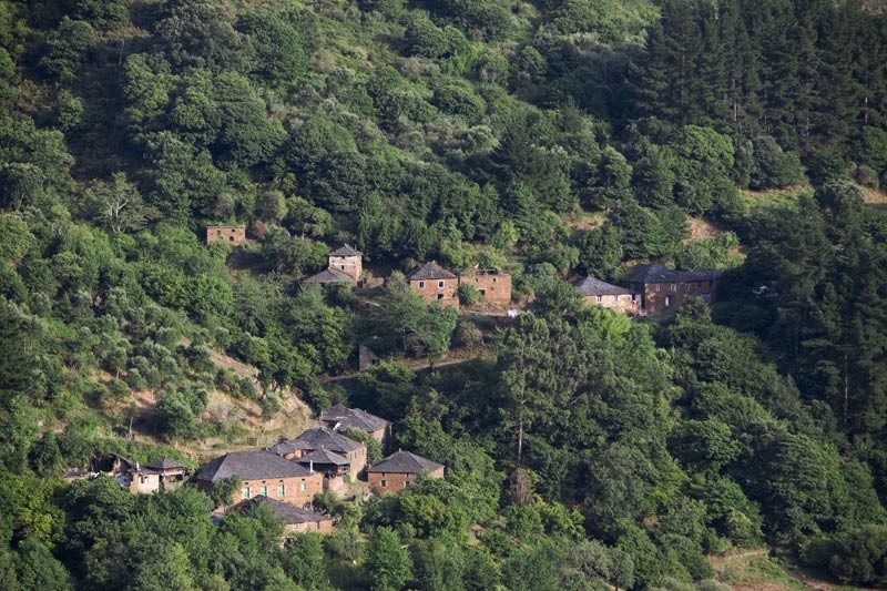
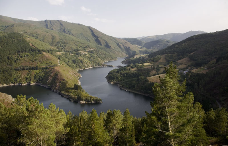
Its recent history is complicated by the fact that the territory is very rough and uneven, full of beautiful contrasting sceneries. There are luxuriant forests dominated by oak trees, but in the valley where the mountain climate becomes more benign cork trees and even grapevines flourish.
