Turismo de Galicia

-
Things to do
Way of St. James
Nature
Culture and heritage
Beaches and coast
Tourist trails
- Top ten: Ten unrivalled destinations
- The route of the camellia
- Tourist routes
- Pathways for discovering a country
- Walks to fall in love with
- Greenways
- Scenery at the wheel
- EuroVelo Galicia
- Beyond the Sunset
Gastronomy
Health tourism
PROMOTIONS TO ENJOY NOW
Cultural agenda
Will happen... View all
- Places to visit
-
Plan your trip


-
A miña viaxe
A MIÑA VIAXE
- Compartir
- Correo
- Imprimir
mailto:?subject=Content from Tourism of Galicia: GR 53 PANORÁMICO DE VIGO&body=I recommend you read the information GR 53 PANORÁMICO DE VIGO extracted from the Tourism of Galicia site on page https://www.turismo.gal/recurso/-/detalle/33700/gr-53-panoramico-de-vigo?langId=en_US%26tp=6%26ctre=23

Datos do recursos turístico
Description
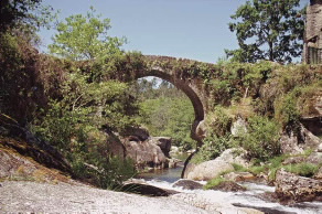
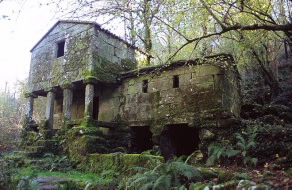
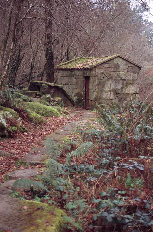
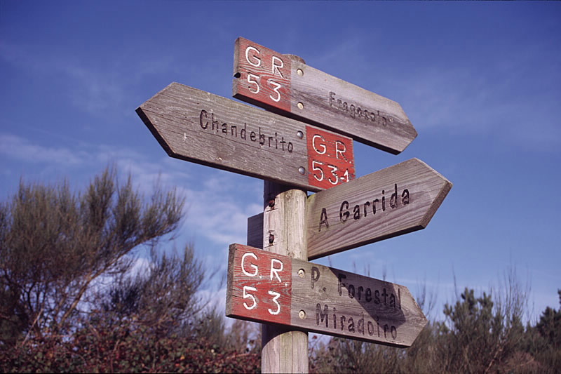
It is a route designed to show people from this large city the natural environment that spreads out just a few metres from their homes. A series of forest parks have been located in parishes in Vigo District which, equipped with everything necessary for leisure and rest, are decisive in this pathways massive success at weekends.
There is also place for history, however: the Fragoselo petroglyphs, the dolmens in the area of El Mercantil and the remains of the old defensive wall of Monte O Galiñeiro.
Rural architecture in Chandebrito and Fraga, the beautiful site of the As Maquías mill on the River Zamáns, autochthonous forests and this whole natural environment far removed from the hustle and bustle of the city, making this a highly attractive and much-visited pathway.
Access
The Ways of St. James
Longitude
Point of Departure / Arrival
Route
Difficulty
Duration
going is quite gentle.
Equipment
Services
M.I.D.E.
Bicycle access
Horse access
cartography I.G.N. (1:25:000)
Further information
Federación Galega de Montañismo
Tel.: 986 208 758 / Fax: 986 207 407
e-mail: sendeirismofgm@yahoo.es
www.fgmontanismo.com
Kind of route
Interest
Connections with other trails
-
GR 94 RURAL DE GALICIA
Paths
-
PR-G 1 GALIÑEIRO
Paths
Map

