Turismo de Galicia

-
Things to do
Way of St. James
Nature
Culture and heritage
Beaches and coast
Tourist trails
- Top ten: Ten unrivalled destinations
- The route of the camellia
- Tourist routes
- Pathways for discovering a country
- Walks to fall in love with
- Greenways
- Scenery at the wheel
- EuroVelo Galicia
- Beyond the Sunset
Gastronomy
Health tourism
PROMOTIONS TO ENJOY NOW
Cultural agenda
Will happen... View all
- Places to visit
-
Plan your trip


-
A miña viaxe
A MIÑA VIAXE
- Compartir
- Correo
- Imprimir
mailto:?subject=Content from Tourism of Galicia: GR 94 RURAL DE GALICIA&body=I recommend you read the information GR 94 RURAL DE GALICIA extracted from the Tourism of Galicia site on page https://www.turismo.gal/recurso/-/detalle/33775/gr-94-rural-de-galicia?langId=en_US%26ctre=23%26tp=6

Datos do recursos turístico
Description
In Vigo, the route draws near two promontories famous for their panoramic views: A Madroa on the Vigo Ria and Castro de Negros over the River Maceiras valley, Redondela and San Simón bay. The first landmark in the road is Soutomaior Castle, a medieval stronghold in a harmonious setting.
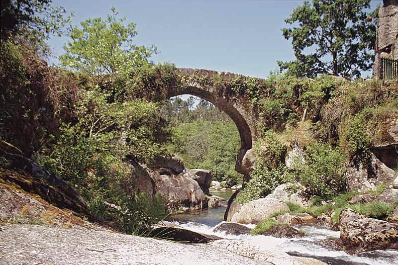
Leaving behind the Church of Rial and the Comboa Bridge over the River Verduxo and after a short deviation, the route surprises us with the Almofrei Bridge and its extraordinary location. Here, the river runs down forming deep pools in a steep, rocky area.
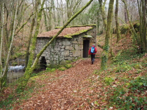
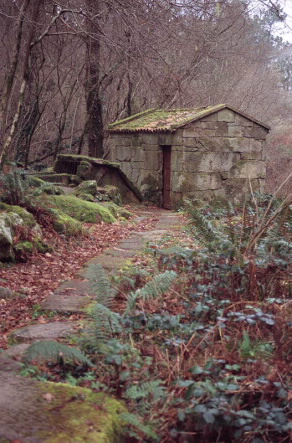
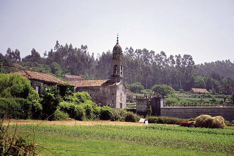
Rural architecture can be seen in the Rascaderia hórreos (raised granaries), in the old Cuspedriños fair and in Cequeril church-rectory complex. The symbolic, ancient carballeiras (oak groves) add their beauty to the pathway in San Xusto. The petroglyphs are a reminder of a remote past that walkers can find in Paredes.
This route could also be known as the Pathway of the Bridges due to the numerous rivers that it crosses.
Access
The Ways of St. James
A plus
PETROGLYPHS
Petroglyphs consist of open-air rupestrian engravings made during the Bronze Age.
Among the most often-repeated geometrical motifs are bowls, circular combinations, labyrinths, spirals, etc. They also depict different kinds of weapons, and anthropomorphic and zoomorphic figures (deer, horses and snakes).
The Rock Art Archaeological Park in Campo Lameiro (Pontevedra) is home to one of the most important groups of petroglyphs in Europe. An exhibition space and a cultural landscape spanning 22 hectares that will take you on a journey back in time to the Bronze Age.
Longitude
Point of Departure / Arrival
Route
Difficulty
Duration
Connections
Equipment
Services
M.I.D.E.
Bicycle access
Horse access
cartography I.G.N. (1:25:000)
Further information
Club Peña Trevinca Montañeiros de Galicia
Tel.: 986 420 551
info@trevinca.es
www.trevinca.es
Kind of route
Interest
Connections with other trails
Map

