Turismo de Galicia


-
Things to do
Way of St. James
Nature
Culture and heritage
Beaches and coast
Tourist trails
- Top ten: Ten unrivalled destinations
- The route of the camellia
- Tourist routes
- Pathways for discovering a country
- Walks to fall in love with
- Greenways
- Scenery at the wheel
- EuroVelo Galicia
- Beyond the Sunset
Gastronomy
Health tourism
PROMOTIONS TO ENJOY NOW
Cultural agenda
Will happen... View all
- Places to visit
-
Plan your trip
Build your journey
Practical information


-
A miña viaxe
A MIÑA VIAXE
- Compartir
- Correo
- Imprimir
mailto:?subject=Content from Tourism of Galicia: PR-G 1 GALIÑEIRO&body=I recommend you read the information PR-G 1 GALIÑEIRO extracted from the Tourism of Galicia site on page https://www.turismo.gal/recurso/-/detalle/33776/pr-g1-galineiro?langId=en_US

Datos do recursos turístico
Description
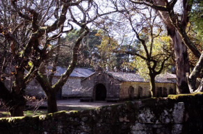
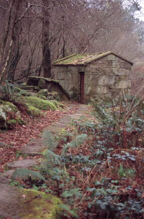
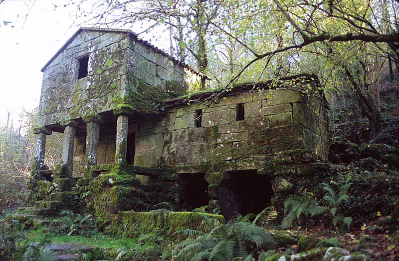
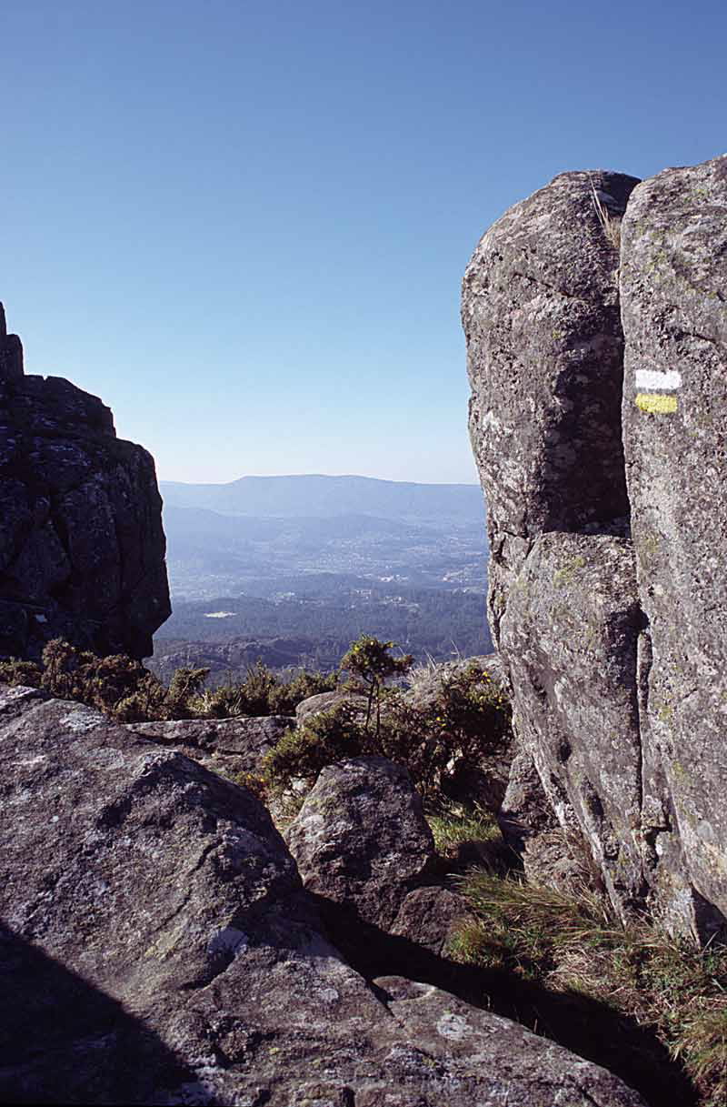
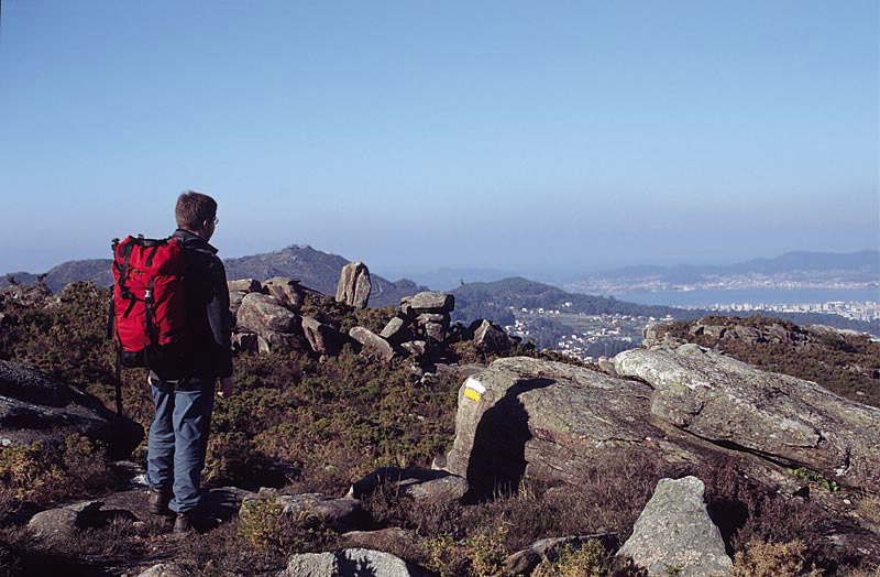
The pathway begins in the town of O Pasaxe, marked by a sign. Along the route we come across mixed forest and resting areas with fresh water springs. On the granite walls of O Galiñeiro, there is an area for the climbing school with a large number of routes, varying in difficulty, for practising this sport. On the upper part, near the summit, there are some ruins possibly belonging to the defensive wall of a Galician-Roman fortress. The peak overlooks an extensive panorama of southern Pontevedra province.
Access
The Ways of St. James
Longitude
Point of Departure / Arrival
Route
Difficulty
Duration
Equipment
Services
M.I.D.E.
Bicycle access
Horse access
cartography I.G.N. (1:25:000)
Further information
Club Montañeiros Celtas
Tel.: 986 438 505
e-mail: info@celtas.net
www.celtas.net
Kind of route
Interest
Connections with other trails
-
PR-G 2 ALOIA
Paths
-
GR 53 PANORÁMICO DE VIGO
Paths
Map

