Turismo de Galicia

-
Things to do
Way of St. James
Nature
Culture and heritage
Beaches and coast
Tourist trails
- Top ten: Ten unrivalled destinations
- The route of the camellia
- Tourist routes
- Pathways for discovering a country
- Walks to fall in love with
- Greenways
- Scenery at the wheel
- EuroVelo Galicia
- Beyond the Sunset
Gastronomy
Health tourism
PROMOTIONS TO ENJOY NOW
Cultural agenda
Will happen... View all
- Places to visit
-
Plan your trip


-
A miña viaxe
A MIÑA VIAXE
- Compartir
- Correo
- Imprimir
mailto:?subject=Content from Tourism of Galicia: COSTA ÁRTABRA&body=I recommend you read the information COSTA ÁRTABRA extracted from the Tourism of Galicia site on page https://www.turismo.gal/recurso/-/detalle/16866/costa-artabra?langId=en_US%26ctre=9%26tp=1

Datos do recursos turístico
Description
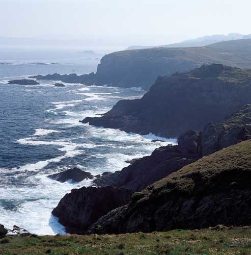
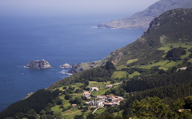
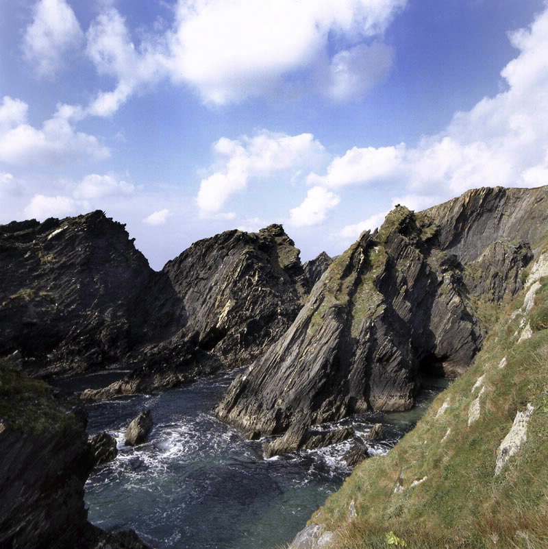
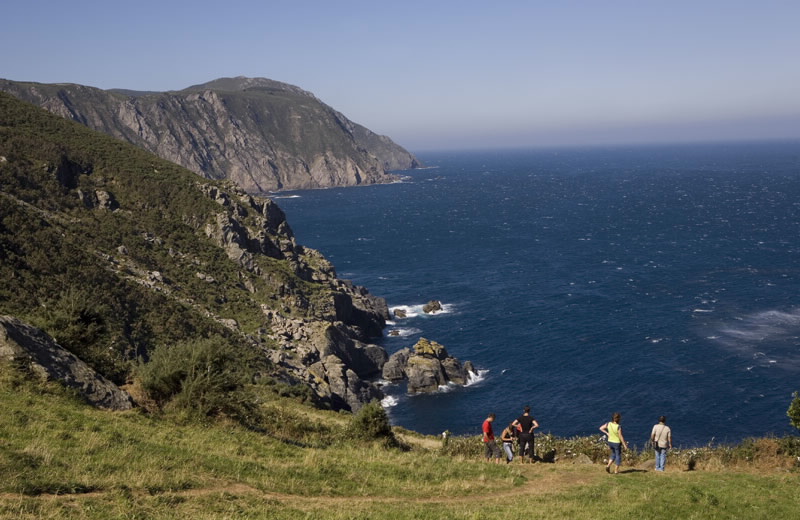
The "Magnus Portus Artabrorum" is the name given by the Romans to a place on the north west angle of the coast of Galicia, between the Ares and the Ortigueira estuaries, whose exact location is unknown to us. A hundred kilometres of coastline with the most spectacular landscape combinations of land and sea of the Atlantic arch: three estuaries, sands with dunes and breaking waves, coastal lagoons and the highest cliffs in Europe. This area has been declared a place of great geological interest and its international fame could be justified solely on the variety of rocks making up these true mountain ranges, such as A Capelada, rising up over the ocean. Located on its slope we find one of the most ancient pilgrimage places, Santo André de Teixido, where the popular saying has it that those "vai de morto quen non foi de vivo" (who did not go there when living will go when dead). This is really one of the meccas of magical Galicia with its votive offerings of bread dough and its chapel where offerings are received.
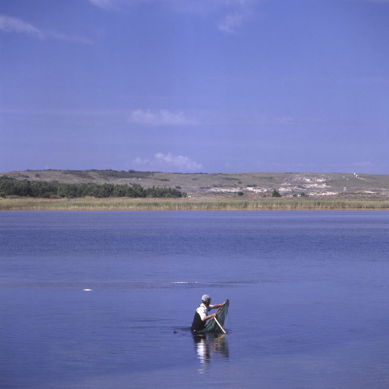
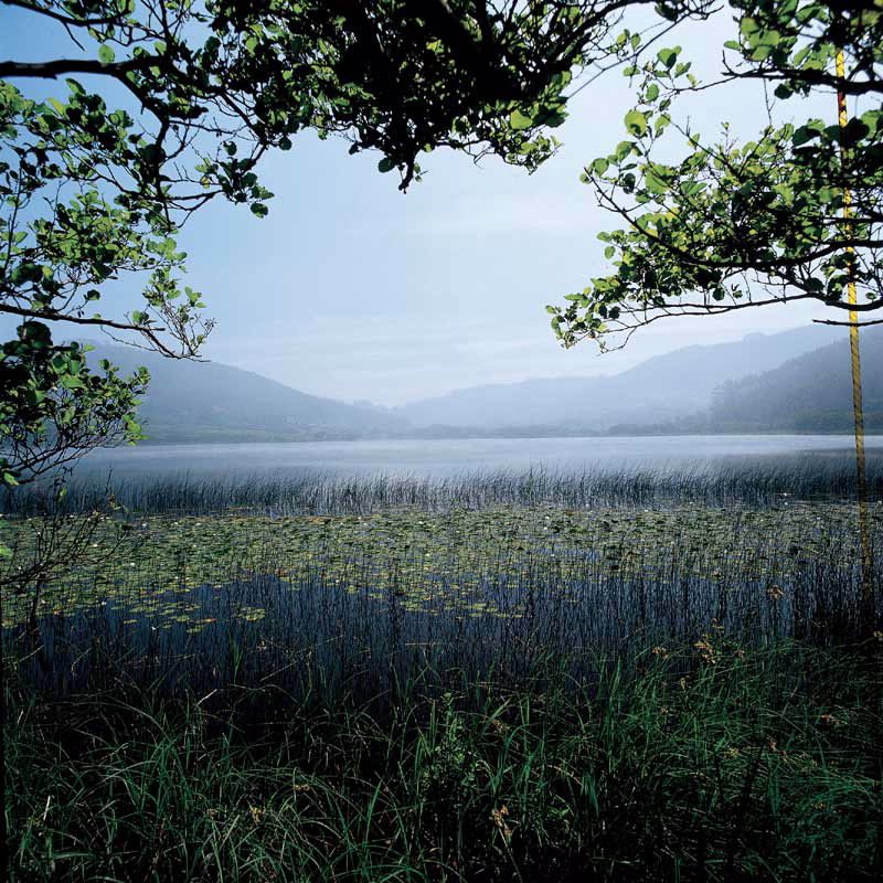
There are numerous modest beacons on this stretch. The dirt roads that lead to them infect us with the scenic emotion of coming face to face with immensity. On the Ría de Ferrol, Cabo Prioriño and, a little more to the north, its brother Cabo Prior are two of those small solitary beacons. Located between them can see the Doniños beach with the first of the characteristic coastal lagoons of this region. It is deeper than those found on the other sands of San Xurxo and Pantín, and also has fresh water lagoons. Nevertheless, the largest is the lagoon of A Frouxeira, the only one with brackish water, located on the beach of Valdoviño. This is a protected humid area and an important bird sanctuary.
Access
The Ways of St. James
Situation
Area
Services
Food: Yes.
Without missing
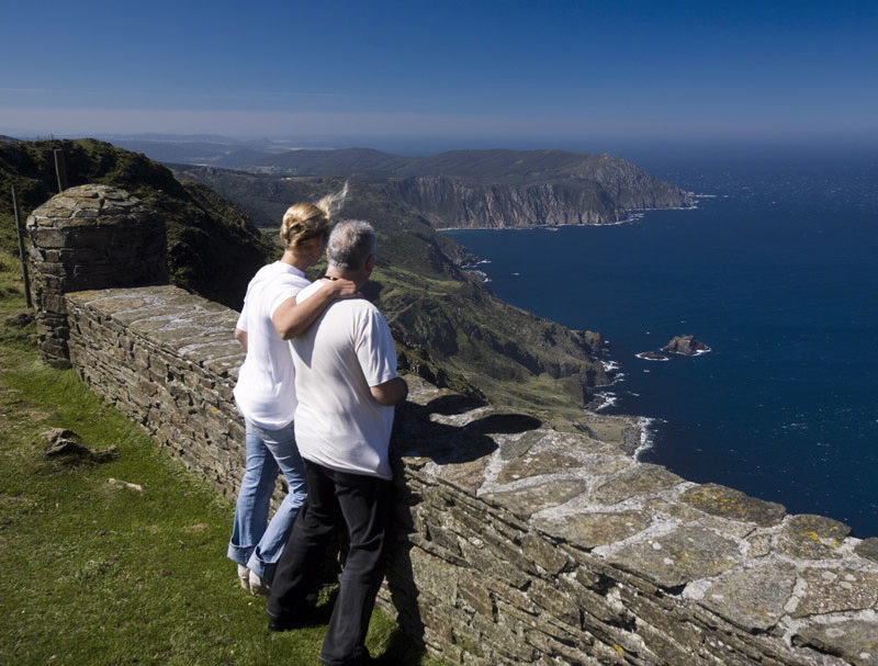
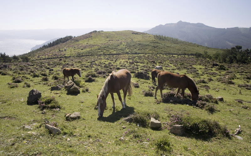
Between the shrine of Santo André de Teixido and Cariño, one of the most adventurous roads in Galicia crosses the mountain range of A Capelada. Proceeding with a certain amount of caution the visitor will encounter horses and cows which graze here freely, between wind turbines located between 500 and 600 metres above sea level. The cliffs of A Vixía de Herbeira (613 m) hold the record for being the highest in Europe.
However, the visit would be incomplete if it did not end at the lighthouse on Cabo Ortegal, accessible from Cariño, contemplating Os Aguillóns, sharp rocks emerging from a constantly furious sea.
Further features
Other sites you may be interested in...
-
COSTA DE DEXO
ZEC - natura 2000
