Turismo de Galicia

-
Things to do
Way of St. James
Nature
Culture and heritage
Beaches and coast
Tourist trails
- Top ten: Ten unrivalled destinations
- The route of the camellia
- Tourist routes
- Pathways for discovering a country
- Walks to fall in love with
- Greenways
- Scenery at the wheel
- EuroVelo Galicia
- Beyond the Sunset
Gastronomy
Health tourism
PROMOTIONS TO ENJOY NOW
Cultural agenda
Will happen... View all
- Places to visit
-
Plan your trip


-
A miña viaxe
A MIÑA VIAXE
- Compartir
- Correo
- Imprimir
mailto:?subject=Content from Tourism of Galicia: O INVERNADEIRO&body=I recommend you read the information O INVERNADEIRO extracted from the Tourism of Galicia site on page https://www.turismo.gal/recurso/-/detalle/9626/o-invernadeiro?langId=en_US%26ctre=2%26tp=1

Datos do recursos turístico
Description
There are no human settlements within the limits of O Invernadeiro. Everything is nature. Its history goes back to ancient times, undivided since the Middle Ages, and used then for grazing and hunting. Halfway through the last century it was made into an authorized reforestation area and continued as such until a fire changed its purpose in 1981. From its ashes it rose again with a commitment to environmental recuperation which was consolidated definitively in 1997 when it was declared a Natural Park. Today it has one of the region’s best nature departments for learning in depth about life in the Ourense Macizo Central.
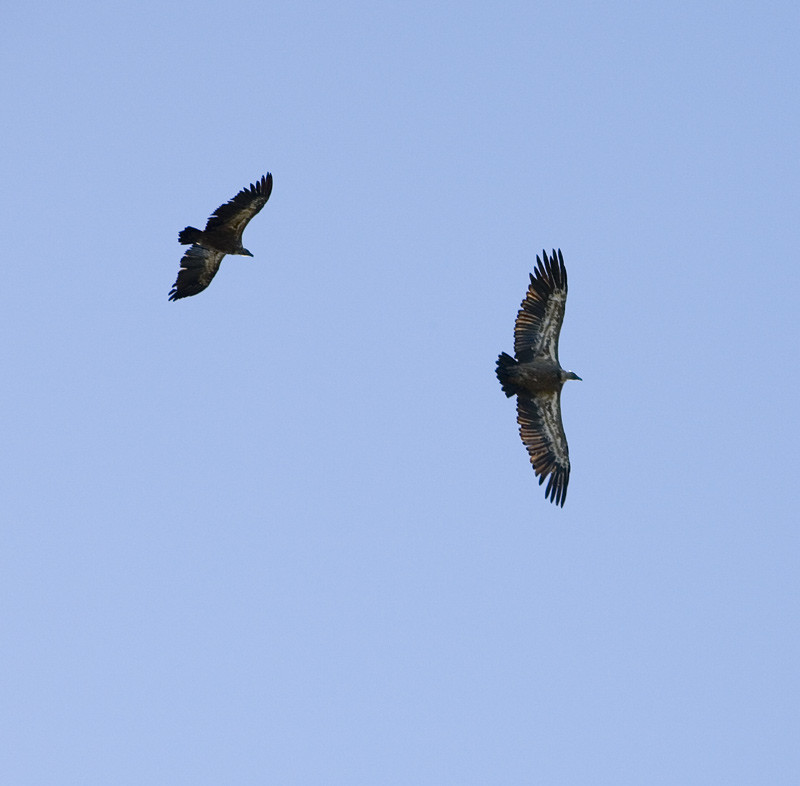
The ancient Galician mountains, which within the limits of the Park reach a height of 1,500 metres, combine the wild charm of the rock with the smoothness of great rounded masses. This type of mountain harbours many wildlife species, represented principally by the wolf and its prey, the roe deer and the wild boar. The rivers in this space, as occurred with the glaciers in ancient times, live the mountain’s great moment. The twin rivers Ribeira Grande and Ribeira Pequena set the river rhythm.
Access
The Ways of St. James
Situation
The Macizo Central reaches the mountain area of the central Ourense region comprising the municipalities of O Bolo, Chandrexa de Queixa, Laza, Manzaneda, A Pobra de Trives, Viana do Bolo, Vilariño de Conso, Quiroga, Larouco and Montederramo.
The Bidueiral extends across the municipalities of Montederramo and Vilar de Barrio.
Area
Services
Without missing
Of special interest in the Ribeira Pequena is the enclosure route which takes us to the area where deer and other ungulates live in semi-liberty. The stars of the Park are the deer, mountain goat, bucks, chamois and the mouflons. They inhabit enclosures which facilitate control of the population and give visitors one of their most pleasant memories.
Central Massif
O Invernadeiro is the heart of a vast, practically unpopulated mountain region. The highest peaks are found on the Queixa mountain range, where the Manzaneda mountain station stands at 1,782 metres, and the San Mamede mountain range (1,619 m). The region has abundant rain and snow falls, but also significant seasonal periods of drought.
From A Pobra de Trives we can ascend to the Manzaneda winter station, whose many tourist options mean that activity is not just limited to the ski season. It is the starting point of several hill walking routes in search of ancient glacial activity in the mountain. We can also opt to continue on to Celeiros, the municipal capital of Chandrexa de Queixa.
Singular nature
Excellent examples of midmountain bushy growth. The fauna represents the most complete trophic pyramid.
Bio-indicators of the health of river ecosystems such as the otter and other species even more scarce in the rest of Spain.
Information and facilities
Further features
Map

